| Поиск по каталогу |
|
(строгое соответствие)
|
- Профессиональная
- Научно-популярная
- Художественная
- Публицистика
- Детская
- Искусство
- Хобби, семья, дом
- Спорт
- Путеводители
- Блокноты, тетради, открытки
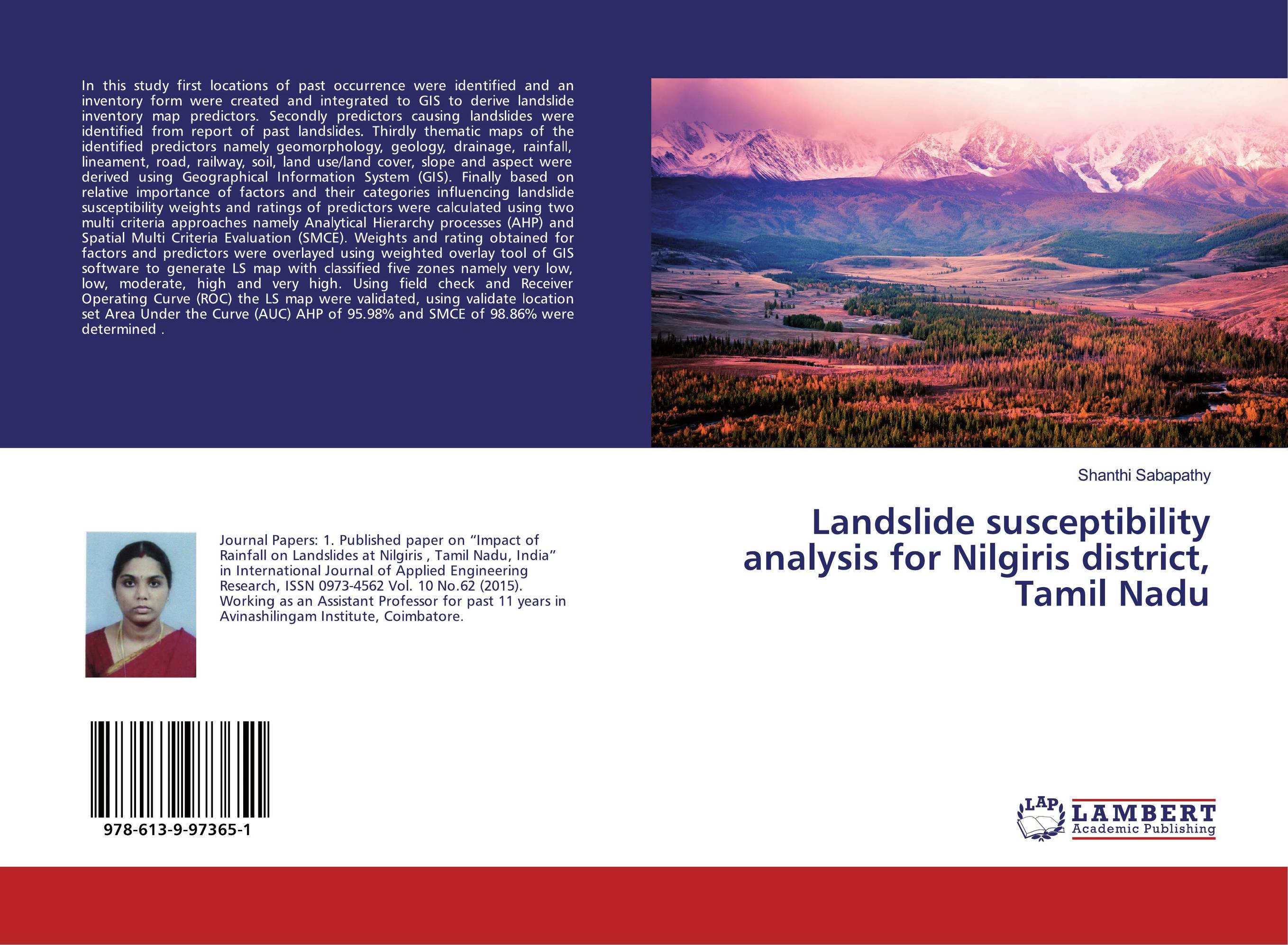
Landslide susceptibility analysis for Nilgiris district, Tamil Nadu.

В наличии
| Местонахождение: Алматы | Состояние экземпляра: новый |

Бумажная
версия
версия
Автор: Shanthi Sabapathy
ISBN: 9786139973651
Год издания: 2019
Формат книги: 60×90/16 (145×215 мм)
Количество страниц: 56
Издательство: LAP LAMBERT Academic Publishing
Цена: 23066 тг
Положить в корзину
| Способы доставки в город Алматы * комплектация (срок до отгрузки) не более 2 рабочих дней |
| Самовывоз из города Алматы (пункты самовывоза партнёра CDEK) |
| Курьерская доставка CDEK из города Москва |
| Доставка Почтой России из города Москва |
Аннотация: In this study first locations of past occurrence were identified and an inventory form were created and integrated to GIS to derive landslide inventory map predictors. Secondly predictors causing landslides were identified from report of past landslides. Thirdly thematic maps of the identified predictors namely geomorphology, geology, drainage, rainfall, lineament, road, railway, soil, land use/land cover, slope and aspect were derived using Geographical Information System (GIS). Finally based on relative importance of factors and their categories influencing landslide susceptibility weights and ratings of predictors were calculated using two multi criteria approaches namely Analytical Hierarchy processes (AHP) and Spatial Multi Criteria Evaluation (SMCE). Weights and rating obtained for factors and predictors were overlayed using weighted overlay tool of GIS software to generate LS map with classified five zones namely very low, low, moderate, high and very high. Using field check and Receiver Operating Curve (ROC) the LS map were validated, using validate location set Area Under the Curve (AUC) AHP of 95.98% and SMCE of 98.86% were determined .
Ключевые слова: Landslides, landslide Susceptibility Zonation, AHP, SMCE


