| Поиск по каталогу |
|
(строгое соответствие)
|
- Профессиональная
- Научно-популярная
- Художественная
- Публицистика
- Детская
- Искусство
- Хобби, семья, дом
- Спорт
- Путеводители
- Блокноты, тетради, открытки
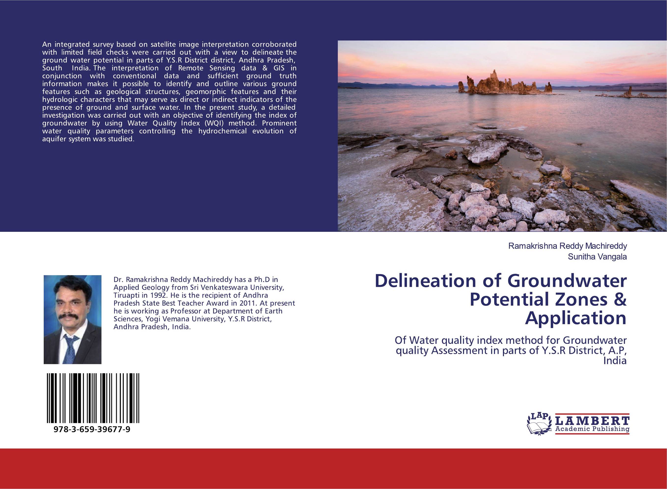
Delineation of Groundwater Potential Zones & Application. Of Water quality index method for Groundwater quality Assessment in parts of Y.S.R District, A.P, India

В наличии
| Местонахождение: Алматы | Состояние экземпляра: новый |

Бумажная
версия
версия
Автор: Ramakrishna Reddy Machireddy and sunitha vangala
ISBN: 9783659396779
Год издания: 2019
Формат книги: 60×90/16 (145×215 мм)
Количество страниц: 64
Издательство: LAP LAMBERT Academic Publishing
Цена: 25124 тг
Положить в корзину
| Способы доставки в город Алматы * комплектация (срок до отгрузки) не более 2 рабочих дней |
| Самовывоз из города Алматы (пункты самовывоза партнёра CDEK) |
| Курьерская доставка CDEK из города Москва |
| Доставка Почтой России из города Москва |
Аннотация: An integrated survey based on satellite image interpretation corroborated with limited field checks were carried out with a view to delineate the ground water potential in parts of Y.S.R District district, Andhra Pradesh, South India. The interpretation of Remote Sensing data & GIS in conjunction with conventional data and sufficient ground truth information makes it possible to identify and outline various ground features such as geological structures, geomorphic features and their hydrologic characters that may serve as direct or indirect indicators of the presence of ground and surface water. In the present study, a detailed investigation was carried out with an objective of identifying the index of groundwater by using Water Quality Index (WQI) method. Prominent water quality parameters controlling the hydrochemical evolution of aquifer system was studied.
Ключевые слова: delineation, Groundwater potential zones, Water Quality Index, Y.S.R District, A.P South India
Похожие издания
 | Отрасли знаний: Науки о Земле Gezahegn Lemecha Boru Remote sensing and GIS for mapping groundwater potential zones. Delineation of groundwater potential zones of Upper Tumet catchment, Western Ethiopia using remote sensing and GIS. 2012 г., 92 стр., мягкий переплет Low success rate of drilling productive wells is a common challenge in hard rock environment. The use of remote sensing with ground information is becoming effective method in improving success rate. In this work thematic layers generated from satellite images, existing maps and ground survey results were integrated to delineate the groundwater... | 30926 тг |
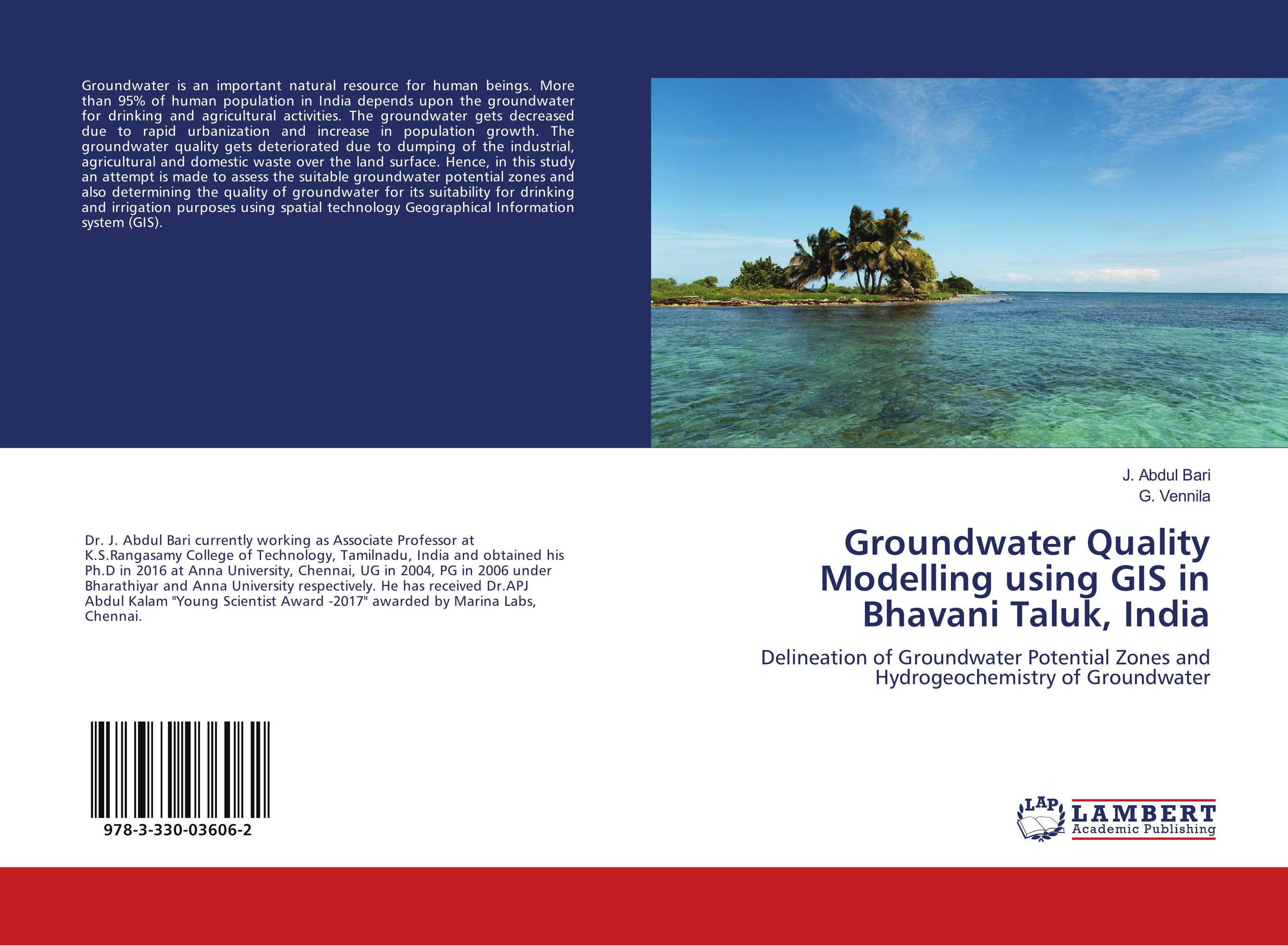
 | Отрасли знаний: Естественные науки -> Экология J. Abdul Bari and G. Vennila Groundwater Quality Modelling using GIS in Bhavani Taluk, India. Delineation of Groundwater Potential Zones and Hydrogeochemistry of Groundwater. 2018 г., 52 стр., мягкий переплет Groundwater is an important natural resource for human beings. More than 95% of human population in India depends upon the groundwater for drinking and agricultural activities. The groundwater gets decreased due to rapid urbanization and increase in population growth. The groundwater quality gets deteriorated due to dumping of the industrial,... | 17827 тг |


