| Поиск по каталогу |
|
(строгое соответствие)
|
- Профессиональная
- Научно-популярная
- Художественная
- Публицистика
- Детская
- Искусство
- Хобби, семья, дом
- Спорт
- Путеводители
- Блокноты, тетради, открытки
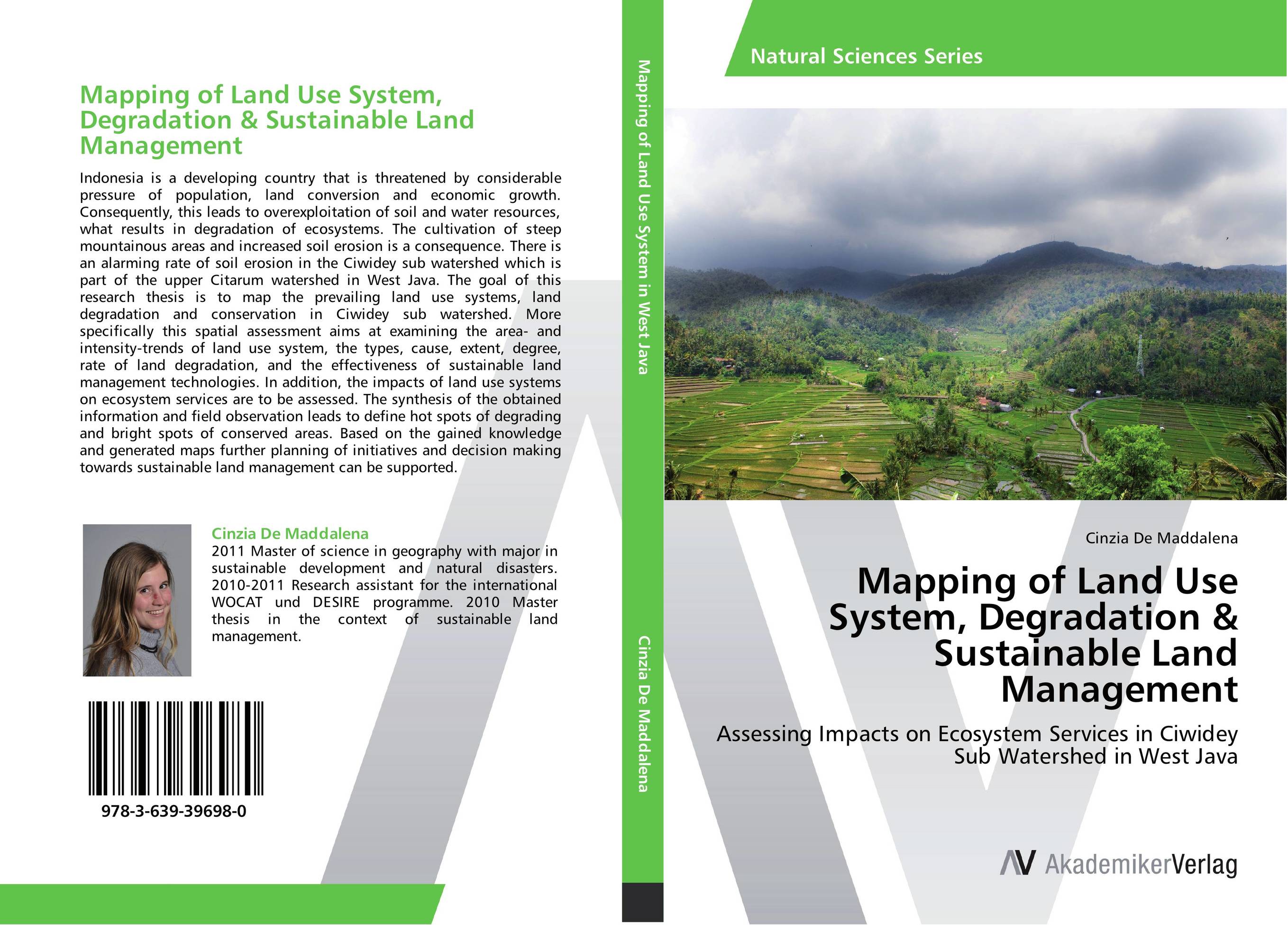
Mapping of Land Use System, Degradation & Sustainable Land Management. Assessing Impacts on Ecosystem Services in Ciwidey Sub Watershed in West Java

В наличии
| Местонахождение: Алматы | Состояние экземпляра: новый |

Бумажная
версия
версия
Автор: Cinzia De Maddalena
ISBN: 9783639396980
Год издания: 2012
Формат книги: 60×90/16 (145×215 мм)
Количество страниц: 172
Издательство: AV Akademikerverlag
Цена: 32157 тг
Положить в корзину
| Способы доставки в город Алматы * комплектация (срок до отгрузки) не более 2 рабочих дней |
| Самовывоз из города Алматы (пункты самовывоза партнёра CDEK) |
| Курьерская доставка CDEK из города Москва |
| Доставка Почтой России из города Москва |
Аннотация: Indonesia is a developing country that is threatened by considerable pressure of population, land conversion and economic growth. Consequently, this leads to overexploitation of soil and water resources, what results in degradation of ecosystems. The cultivation of steep mountainous areas and increased soil erosion is a consequence. There is an alarming rate of soil erosion in the Ciwidey sub watershed which is part of the upper Citarum watershed in West Java. The goal of this research thesis is to map the prevailing land use systems, land degradation and conservation in Ciwidey sub watershed. More specifically this spatial assessment aims at examining the area- and intensity-trends of land use system, the types, cause, extent, degree, rate of land degradation, and the effectiveness of sustainable land management technologies. In addition, the impacts of land use systems on ecosystem services are to be assessed. The synthesis of the obtained information and field observation leads to define hot spots of degrading and bright spots of conserved areas. Based on the gained knowledge and generated maps further planning of initiatives and decision making towards sustainable land management can be supported.
Ключевые слова: Mapping, soil erosion, terraces, sustainable land management, Degradation, Conservation, land use system, Watershed Management


