| Поиск по каталогу |
|
(строгое соответствие)
|
- Профессиональная
- Научно-популярная
- Художественная
- Публицистика
- Детская
- Искусство
- Хобби, семья, дом
- Спорт
- Путеводители
- Блокноты, тетради, открытки
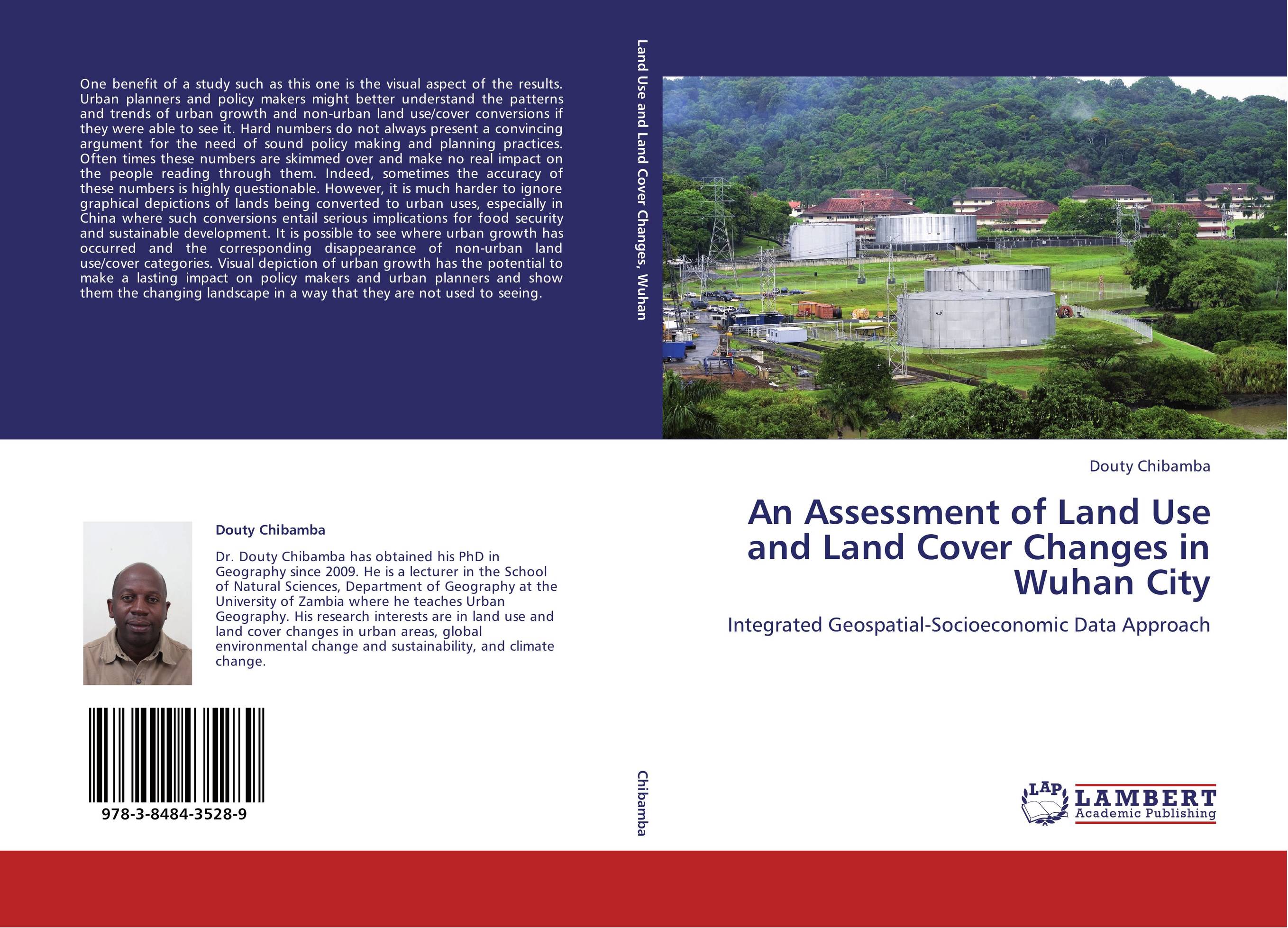
An Assessment of Land Use and Land Cover Changes in Wuhan City. Integrated Geospatial-Socioeconomic Data Approach

В наличии
| Местонахождение: Алматы | Состояние экземпляра: новый |

Бумажная
версия
версия
Автор: Douty Chibamba
ISBN: 9783848435289
Год издания: 2012
Формат книги: 60×90/16 (145×215 мм)
Количество страниц: 152
Издательство: LAP LAMBERT Academic Publishing
Цена: 43098 тг
Положить в корзину
| Способы доставки в город Алматы * комплектация (срок до отгрузки) не более 2 рабочих дней |
| Самовывоз из города Алматы (пункты самовывоза партнёра CDEK) |
| Курьерская доставка CDEK из города Москва |
| Доставка Почтой России из города Москва |
Аннотация: One benefit of a study such as this one is the visual aspect of the results. Urban planners and policy makers might better understand the patterns and trends of urban growth and non-urban land use/cover conversions if they were able to see it. Hard numbers do not always present a convincing argument for the need of sound policy making and planning practices. Often times these numbers are skimmed over and make no real impact on the people reading through them. Indeed, sometimes the accuracy of these numbers is highly questionable. However, it is much harder to ignore graphical depictions of lands being converted to urban uses, especially in China where such conversions entail serious implications for food security and sustainable development. It is possible to see where urban growth has occurred and the corresponding disappearance of non-urban land use/cover categories. Visual depiction of urban growth has the potential to make a lasting impact on policy makers and urban planners and show them the changing landscape in a way that they are not used to seeing.
Ключевые слова: Land use, land cover change, Geospatial, Urban growth, Remote sensing, GIS, Socioeconomic


