| Поиск по каталогу |
|
(строгое соответствие)
|
- Профессиональная
- Научно-популярная
- Художественная
- Публицистика
- Детская
- Искусство
- Хобби, семья, дом
- Спорт
- Путеводители
- Блокноты, тетради, открытки
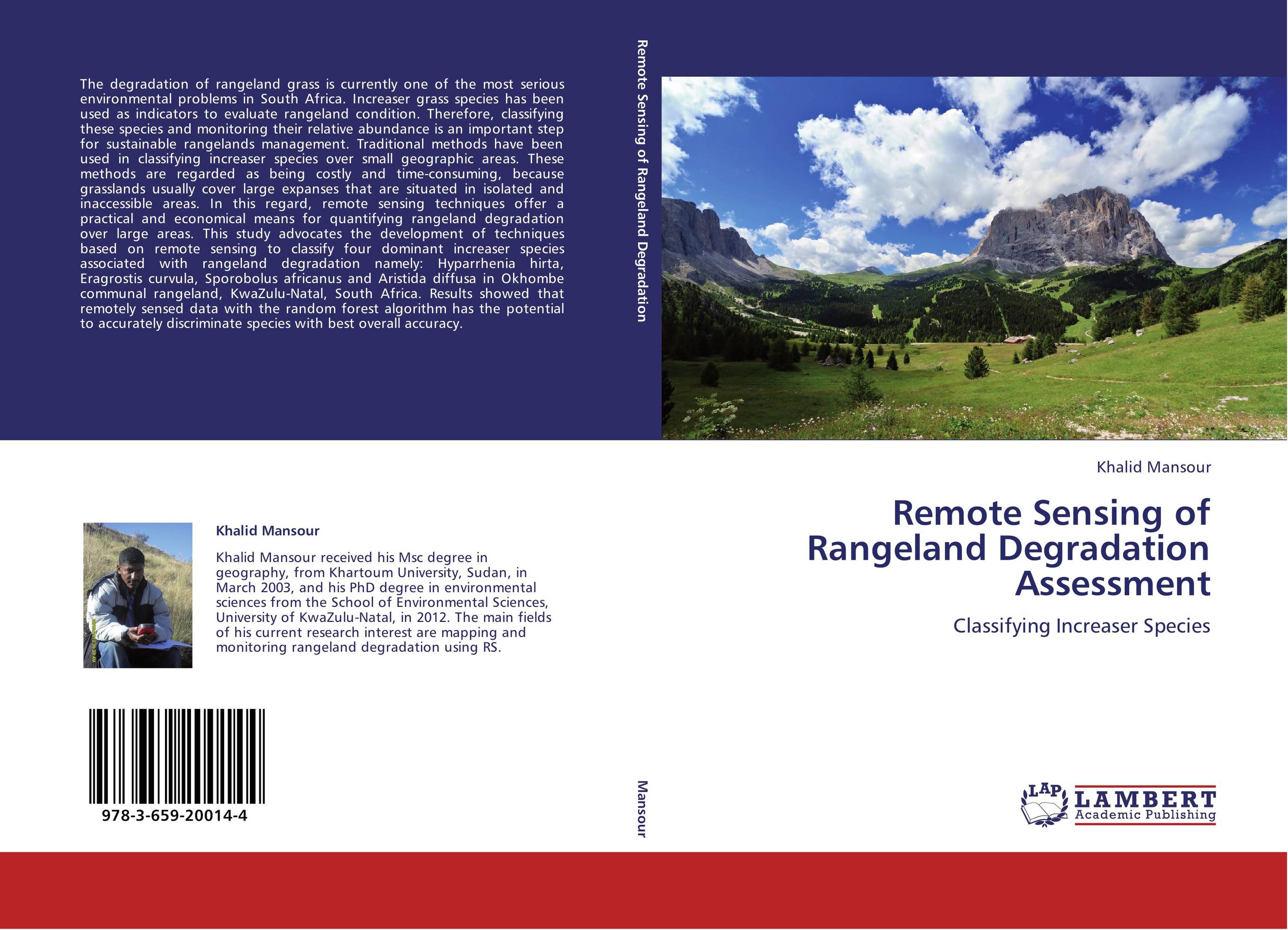
Remote Sensing of Rangeland Degradation Assessment. Classifying Increaser Species

В наличии
| Местонахождение: Алматы | Состояние экземпляра: новый |

Бумажная
версия
версия
Автор: Khalid Mansour
ISBN: 9783659200144
Год издания: 2012
Формат книги: 60×90/16 (145×215 мм)
Количество страниц: 144
Издательство: LAP LAMBERT Academic Publishing
Цена: 38058 тг
Положить в корзину
| Способы доставки в город Алматы * комплектация (срок до отгрузки) не более 2 рабочих дней |
| Самовывоз из города Алматы (пункты самовывоза партнёра CDEK) |
| Курьерская доставка CDEK из города Москва |
| Доставка Почтой России из города Москва |
Аннотация: The degradation of rangeland grass is currently one of the most serious environmental problems in South Africa. Increaser grass species has been used as indicators to evaluate rangeland condition. Therefore, classifying these species and monitoring their relative abundance is an important step for sustainable rangelands management. Traditional methods have been used in classifying increaser species over small geographic areas. These methods are regarded as being costly and time-consuming, because grasslands usually cover large expanses that are situated in isolated and inaccessible areas. In this regard, remote sensing techniques offer a practical and economical means for quantifying rangeland degradation over large areas. This study advocates the development of techniques based on remote sensing to classify four dominant increaser species associated with rangeland degradation namely: Hyparrhenia hirta, Eragrostis curvula, Sporobolus africanus and Aristida diffusa in Okhombe communal rangeland, KwaZulu-Natal, South Africa. Results showed that remotely sensed data with the random forest algorithm has the potential to accurately discriminate species with best overall accuracy.
Ключевые слова: Mapping, monitoring, Variable selection, Indicator species, field spectrometer measurements, AISA Eagle, WorldView-2, increaser species, rangeland degradation, random forest algorithm.


