| Поиск по каталогу |
|
(строгое соответствие)
|
- Профессиональная
- Научно-популярная
- Художественная
- Публицистика
- Детская
- Искусство
- Хобби, семья, дом
- Спорт
- Путеводители
- Блокноты, тетради, открытки
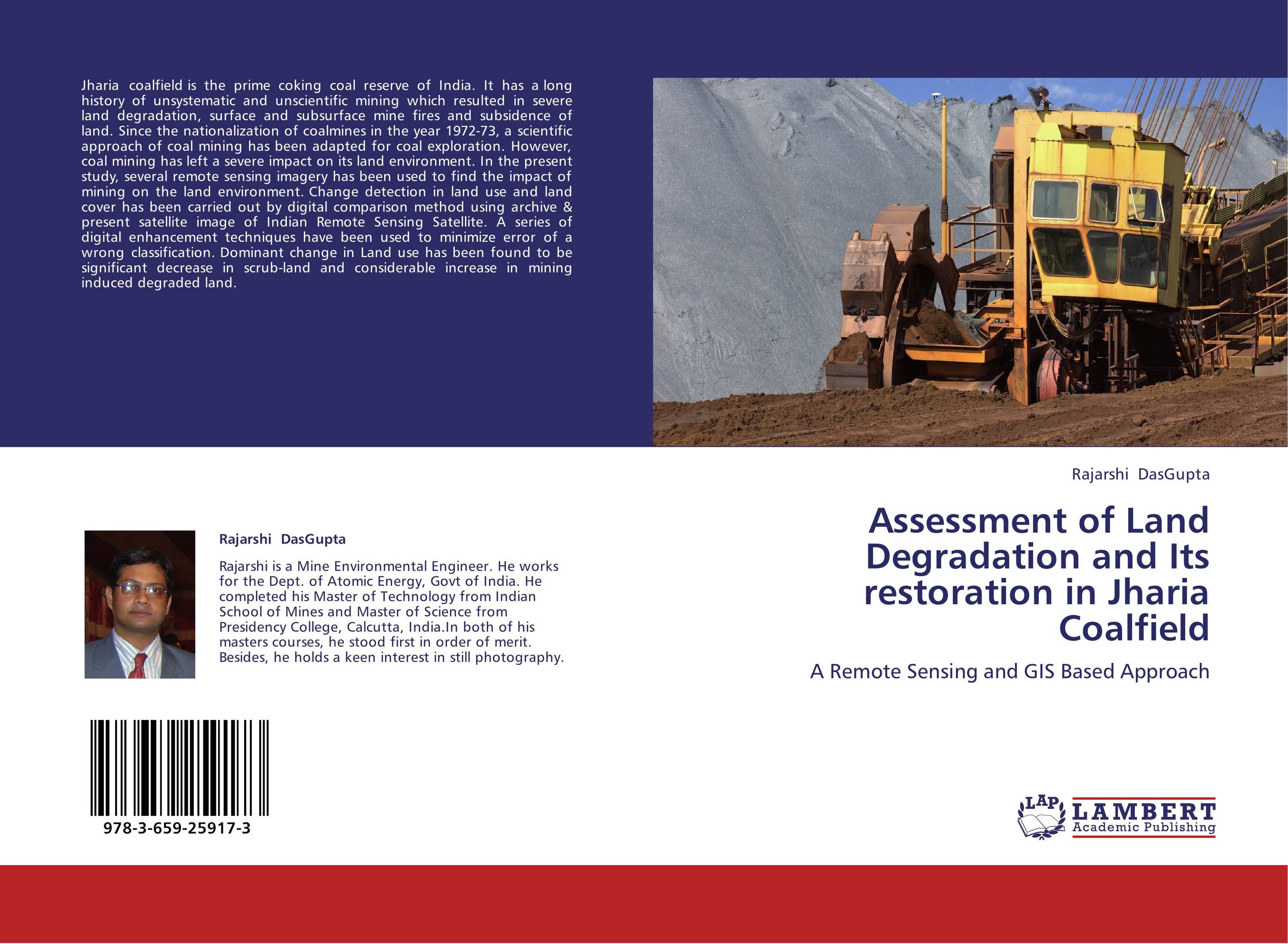
Assessment of Land Degradation and Its restoration in Jharia Coalfield. A Remote Sensing and GIS Based Approach

В наличии
| Местонахождение: Алматы | Состояние экземпляра: новый |

Бумажная
версия
версия
Автор: Rajarshi DasGupta
ISBN: 9783659259173
Год издания: 2012
Формат книги: 60×90/16 (145×215 мм)
Количество страниц: 68
Издательство: LAP LAMBERT Academic Publishing
Цена: 30074 тг
Положить в корзину
| Способы доставки в город Алматы * комплектация (срок до отгрузки) не более 2 рабочих дней |
| Самовывоз из города Алматы (пункты самовывоза партнёра CDEK) |
| Курьерская доставка CDEK из города Москва |
| Доставка Почтой России из города Москва |
Аннотация: Jharia coalfield is the prime coking coal reserve of India. It has a long history of unsystematic and unscientific mining which resulted in severe land degradation, surface and subsurface mine fires and subsidence of land. Since the nationalization of coalmines in the year 1972-73, a scientific approach of coal mining has been adapted for coal exploration. However, coal mining has left a severe impact on its land environment. In the present study, several remote sensing imagery has been used to find the impact of mining on the land environment. Change detection in land use and land cover has been carried out by digital comparison method using archive & present satellite image of Indian Remote Sensing Satellite. A series of digital enhancement techniques have been used to minimize error of a wrong classification. Dominant change in Land use has been found to be significant decrease in scrub-land and considerable increase in mining induced degraded land.
Ключевые слова: Remote sensing, Land Use Classification, Jharia Coal Field
Похожие издания
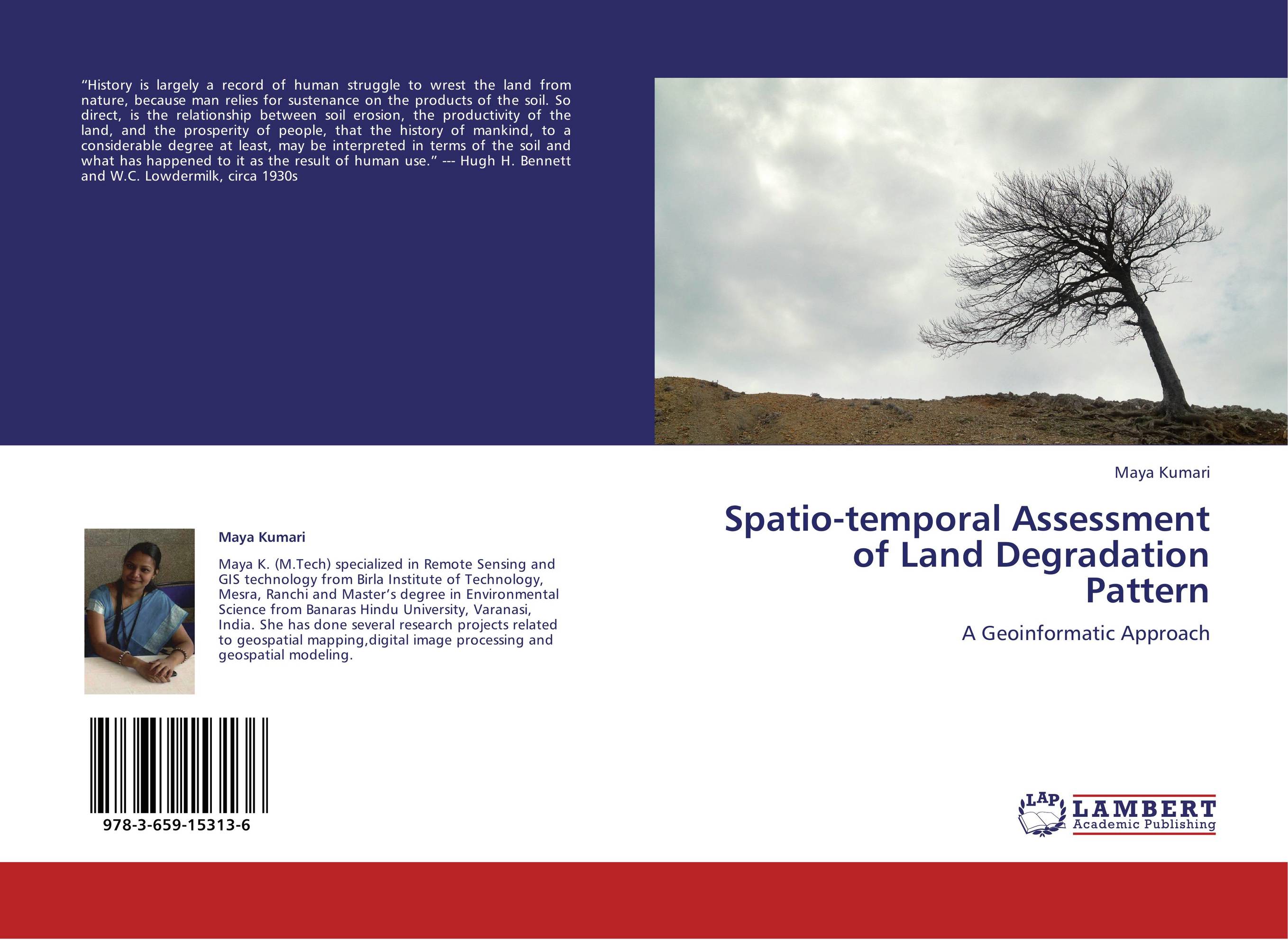
 | Отрасли знаний: Науки о Земле Maya Kumari Spatio-temporal Assessment of Land Degradation Pattern. A Geoinformatic Approach. 2012 г., 84 стр., мягкий переплет “History is largely a record of human struggle to wrest the land from nature, because man relies for sustenance on the products of the soil. So direct, is the relationship between soil erosion, the productivity of the land, and the prosperity of people, that the history of mankind, to a considerable degree at least, may be interpreted in terms... | 30642 тг |


