| Поиск по каталогу |
|
(строгое соответствие)
|
- Профессиональная
- Научно-популярная
- Художественная
- Публицистика
- Детская
- Искусство
- Хобби, семья, дом
- Спорт
- Путеводители
- Блокноты, тетради, открытки
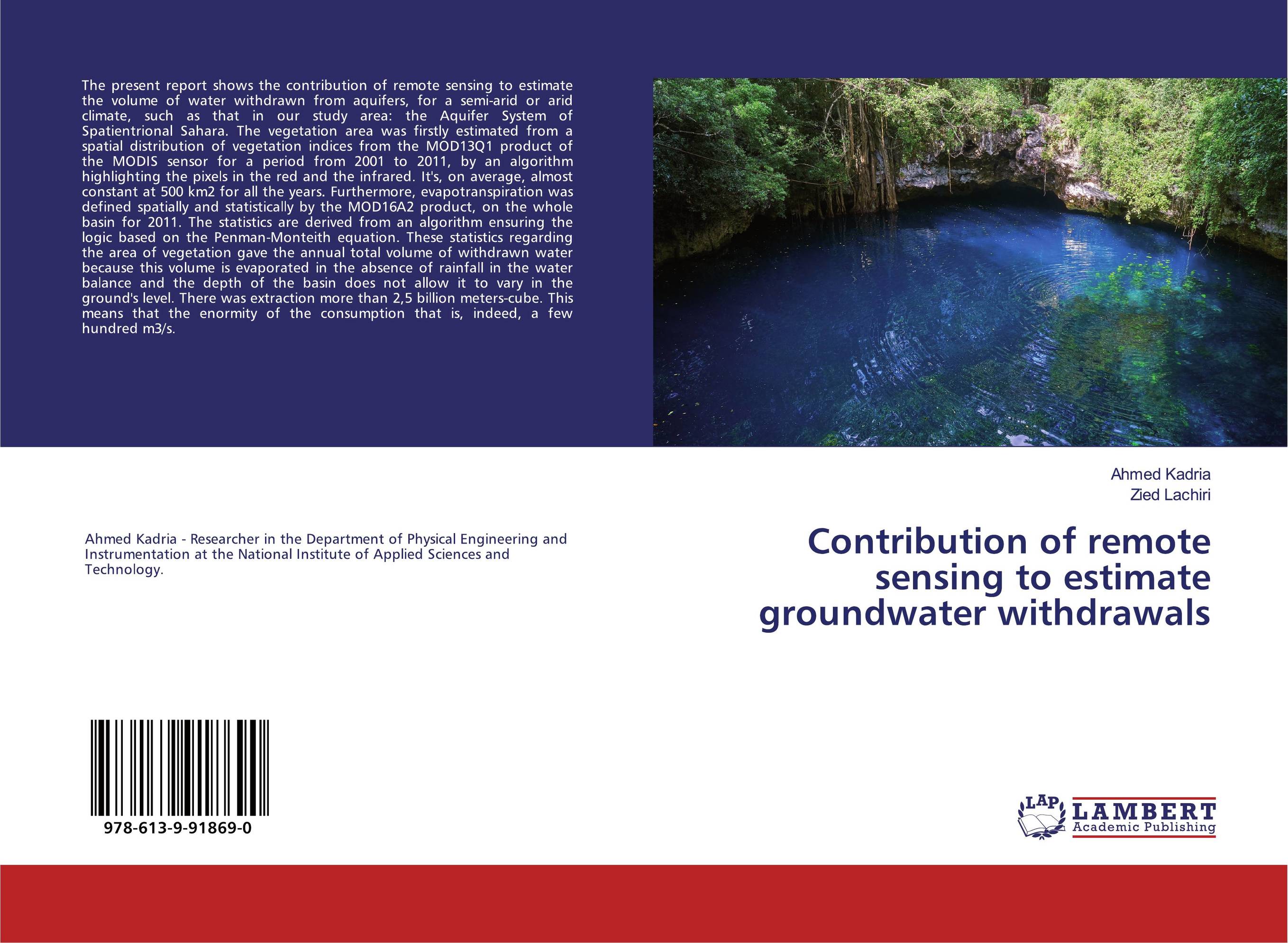
Contribution of remote sensing to estimate groundwater withdrawals.
В наличии
| Местонахождение: Алматы | Состояние экземпляра: новый |

Бумажная
версия
версия
Автор: Ahmed Kadria and Zied Lachiri
ISBN: 9786139918690
Год издания: 2019
Формат книги: 60×90/16 (145×215 мм)
Количество страниц: 72
Издательство: LAP LAMBERT Academic Publishing
Цена: 25408 тг
Положить в корзину
| Способы доставки в город Алматы * комплектация (срок до отгрузки) не более 2 рабочих дней |
| Самовывоз из города Алматы (пункты самовывоза партнёра CDEK) |
| Курьерская доставка CDEK из города Москва |
| Доставка Почтой России из города Москва |
Аннотация: The present report shows the contribution of remote sensing to estimate the volume of water withdrawn from aquifers, for a semi-arid or arid climate, such as that in our study area: the Aquifer System of Spatientrional Sahara. The vegetation area was firstly estimated from a spatial distribution of vegetation indices from the MOD13Q1 product of the MODIS sensor for a period from 2001 to 2011, by an algorithm highlighting the pixels in the red and the infrared. It's, on average, almost constant at 500 km2 for all the years. Furthermore, evapotranspiration was defined spatially and statistically by the MOD16A2 product, on the whole basin for 2011. The statistics are derived from an algorithm ensuring the logic based on the Penman-Monteith equation. These statistics regarding the area of vegetation gave the annual total volume of withdrawn water because this volume is evaporated in the absence of rainfall in the water balance and the depth of the basin does not allow it to vary in the ground's level. There was extraction more than 2,5 billion meters-cube. This means that the enormity of the consumption that is, indeed, a few hundred m3/s.
Ключевые слова: Aquifer System, arid climate, MODIS, Remote sensing
Похожие издания
 | Salsebil Bel Hadj Ali Mapping of hydro-morphological evolution and risk zones. Contribution of remote sensing and hydraulic modeling. 2023 г., 100 стр., мягкий переплет The issue of natural hazards in general and Floods in particular is a topic of current interest that marks a memorable action in the world and specifically in Tunisia, especially in view of the last major floods of the Medjerda. Indeed, the management of this risk becomes more and more a necessity that must include all actors and all possible... | 38028 тг |
 | Abou Tangara SPATIO-TEMPORAL DYNAMICS OF INVASIVE AQUATIC PLANTS. The contribution of remote sensing and GIS to mapping the spatio-temporal dynamics of aquatic plants. 2024 г., 80 стр., мягкий переплет This work tells us about the dynamics of the proliferation of invasive plants in the riverbed in the District of Bamako (Mali). The study aims to analyze the spatio-temporal dynamics of EABs in the Niger River bed at Bamako level between 2000 and 2018. The study also aims to assess the impact of VAE on river flow from 2000 to 2018. The... | 27805 тг |
 | Médard NDAYIKENGURUKIYE CONTRIBUTION OF REMOTE SENSING IN THE MANAGEMENT OF PROTECTED AREAS. KIBIRA NATIONAL PARK. 2022 г., 60 стр., мягкий переплет Located on the Congo-Nile ridge, in the northwest of the country, the Kibira National Park is a mountain rainforest with an estimated area of forty thousand hectares (40,000 ha). From north to south, it is 80 km long and has a maximum width of 8 km. It is formed by four sectors including the sector of Rwegura, the sector of Teza, the sector of... | 27094 тг |
 | Yaya Inoua Contribution of remote sensing and geophysics in hydrogeology: Ville Mongo.. 2022 г., 60 стр., мягкий переплет A quarter of the Chadian territory is covered by Precambrian basement formations. Access to groundwater resources for populations living in these areas has always been problematic. This is the case of the town of Mongo located in the center of the country which does not have a water tank capable of satisfying the population and it is necessary to... | 24982 тг |
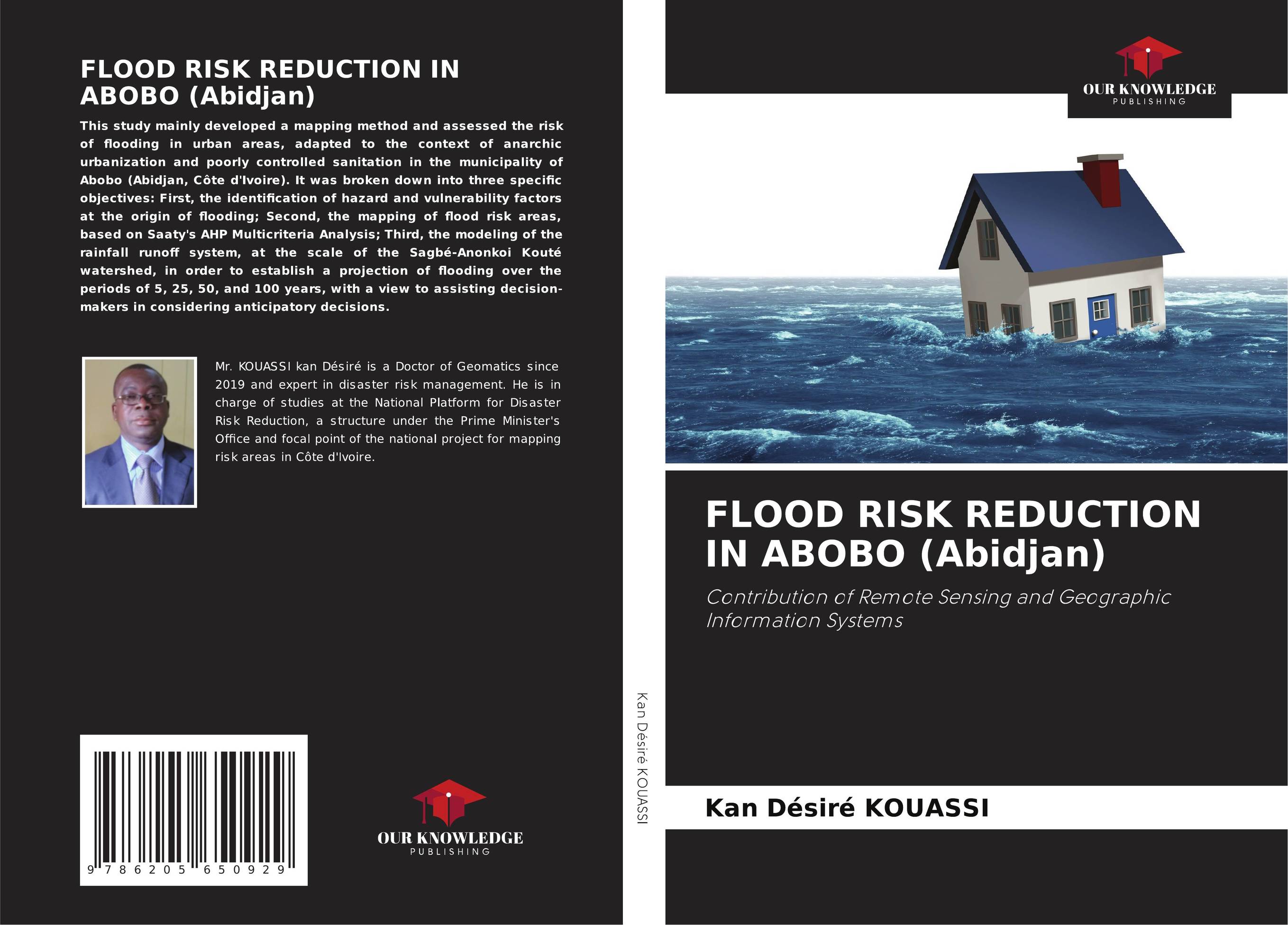 | Kan Désiré KOUASSI FLOOD RISK REDUCTION IN ABOBO (Abidjan). Contribution of Remote Sensing and Geographic Information Systems. 2023 г., 172 стр., мягкий переплет This study mainly developed a mapping method and assessed the risk of flooding in urban areas, adapted to the context of anarchic urbanization and poorly controlled sanitation in the municipality of Abobo (Abidjan, Côte d'Ivoire). It was broken down into three specific objectives: First, the identification of hazard and vulnerability factors... | 50097 тг |
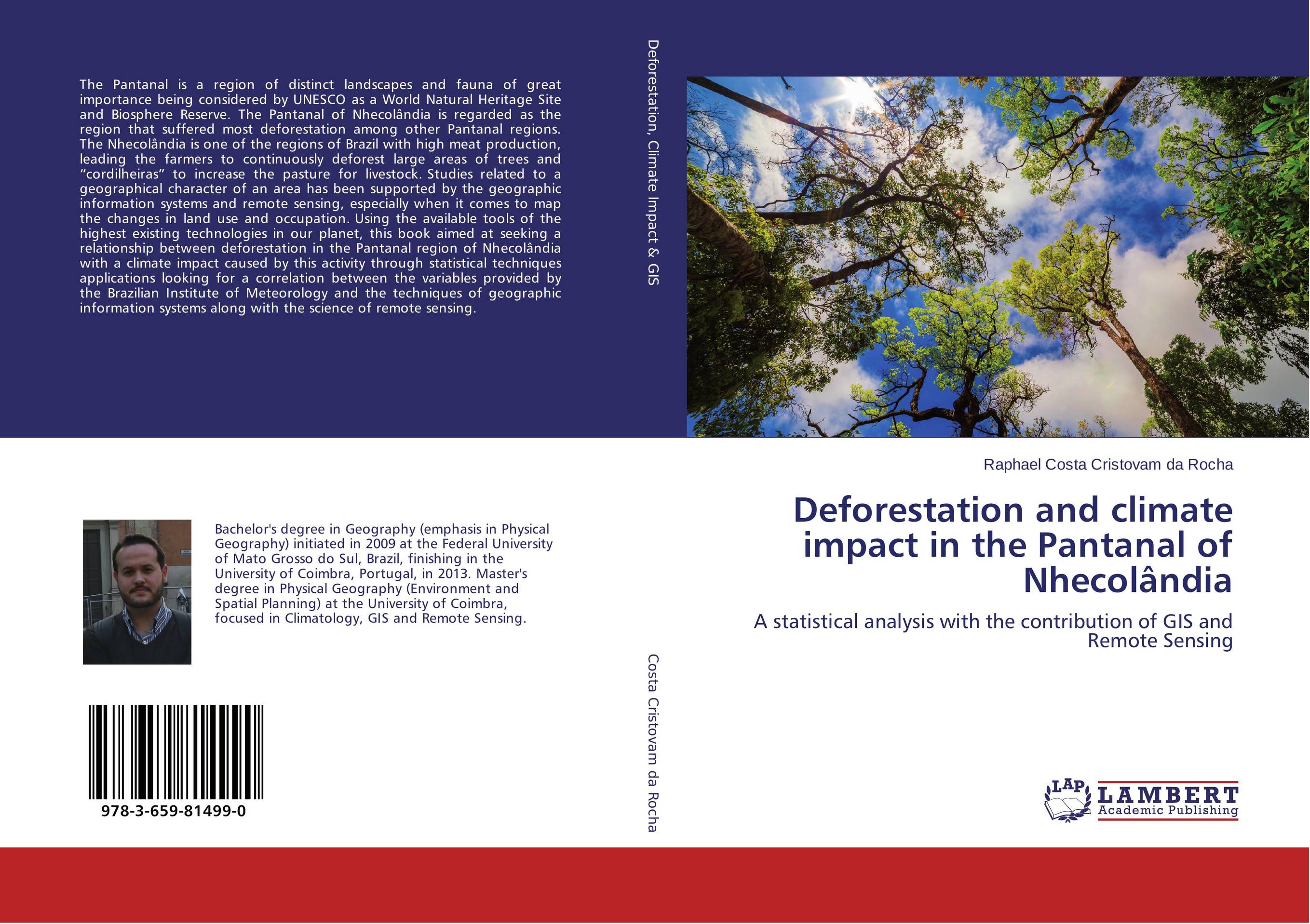 | Отрасли знаний: Науки о Земле -> География Raphael Costa Cristovam da Rocha Deforestation and climate impact in the Pantanal of Nhecol?ndia. A statistical analysis with the contribution of GIS and Remote Sensing. 2015 г., 264 стр., мягкий переплет The Pantanal is a region of distinct landscapes and fauna of great importance being considered by UNESCO as a World Natural Heritage Site and Biosphere Reserve. The Pantanal of Nhecol?ndia is regarded as the region that suffered most deforestation among other Pantanal regions. The Nhecol?ndia is one of the regions of Brazil with high meat... | 36983 тг |


