| Поиск по каталогу |
|
(строгое соответствие)
|
- Профессиональная
- Научно-популярная
- Художественная
- Публицистика
- Детская
- Искусство
- Хобби, семья, дом
- Спорт
- Путеводители
- Блокноты, тетради, открытки
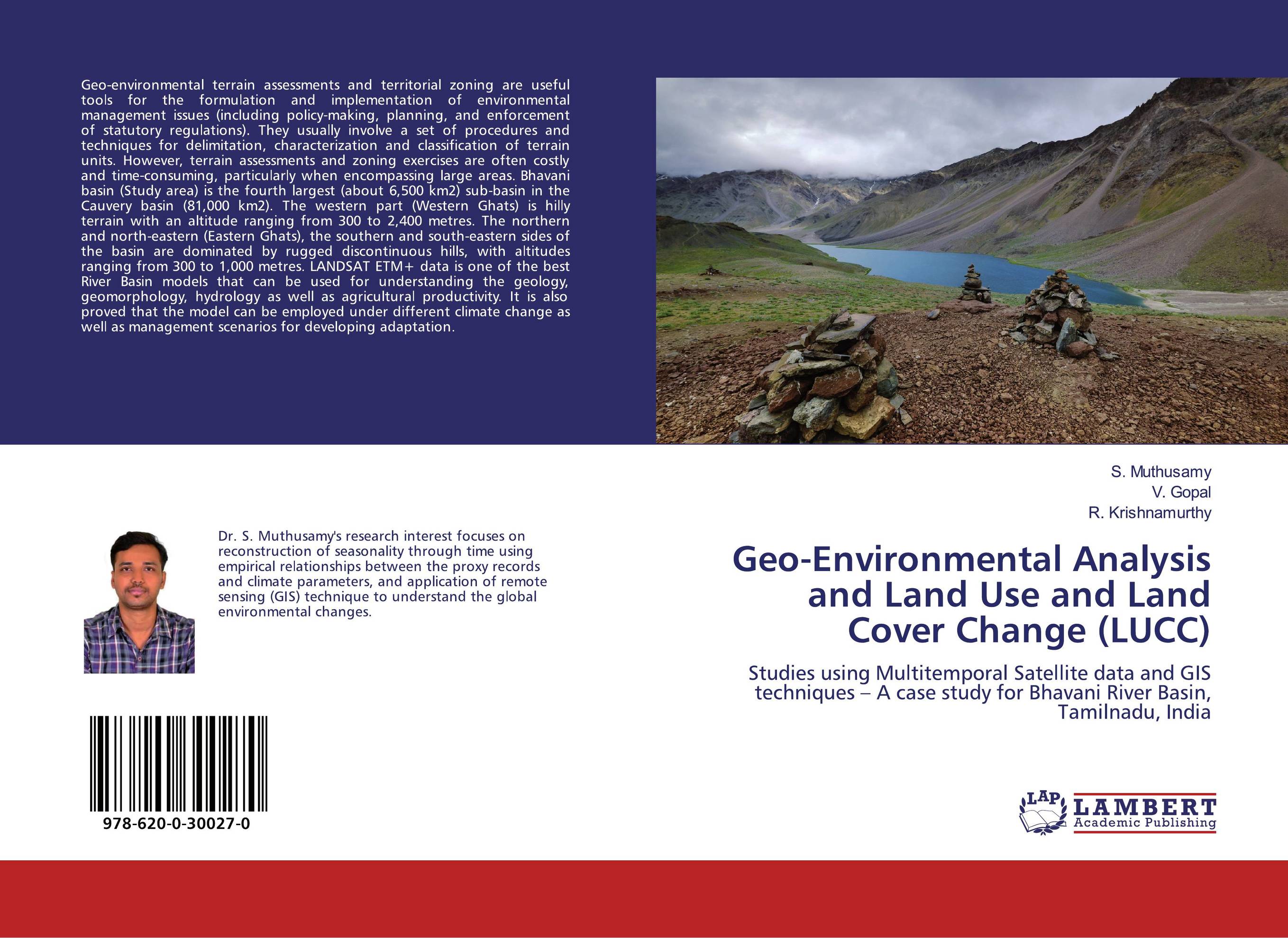
Geo-Environmental Analysis and Land Use and Land Cover Change (LUCC). Studies using Multitemporal Satellite data and GIS techniques – A case study for Bhavani River Basin, Tamilnadu, India

В наличии
| Местонахождение: Алматы | Состояние экземпляра: новый |

Бумажная
версия
версия
Автор: S. Muthusamy,V. Gopal and R. Krishnamurthy
ISBN: 9786200300270
Год издания: 2019
Формат книги: 60×90/16 (145×215 мм)
Количество страниц: 96
Издательство: LAP LAMBERT Academic Publishing
Цена: 31747 тг
Положить в корзину
| Способы доставки в город Алматы * комплектация (срок до отгрузки) не более 2 рабочих дней |
| Самовывоз из города Алматы (пункты самовывоза партнёра CDEK) |
| Курьерская доставка CDEK из города Москва |
| Доставка Почтой России из города Москва |
Аннотация: Geo-environmental terrain assessments and territorial zoning are useful tools for the formulation and implementation of environmental management issues (including policy-making, planning, and enforcement of statutory regulations). They usually involve a set of procedures and techniques for delimitation, characterization and classification of terrain units. However, terrain assessments and zoning exercises are often costly and time-consuming, particularly when encompassing large areas. Bhavani basin (Study area) is the fourth largest (about 6,500 km2) sub-basin in the Cauvery basin (81,000 km2). The western part (Western Ghats) is hilly terrain with an altitude ranging from 300 to 2,400 metres. The northern and north-eastern (Eastern Ghats), the southern and south-eastern sides of the basin are dominated by rugged discontinuous hills, with altitudes ranging from 300 to 1,000 metres. LANDSAT ETM+ data is one of the best River Basin models that can be used for understanding the geology, geomorphology, hydrology as well as agricultural productivity. It is also proved that the model can be employed under different climate change as well as management scenarios for developing adaptation.
Ключевые слова: Bhavani basin, GIS, LULC, India, Tamil Nadu


