| Поиск по каталогу |
|
(строгое соответствие)
|
- Профессиональная
- Научно-популярная
- Художественная
- Публицистика
- Детская
- Искусство
- Хобби, семья, дом
- Спорт
- Путеводители
- Блокноты, тетради, открытки
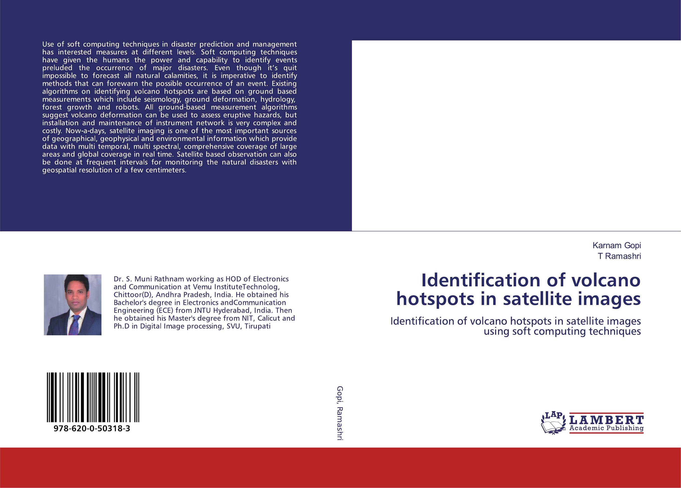
Identification of volcano hotspots in satellite images. Identification of volcano hotspots in satellite images using soft computing techniques

В наличии
| Местонахождение: Алматы | Состояние экземпляра: новый |

Бумажная
версия
версия
Автор: Karnam Gopi and T Ramashri
ISBN: 9786200503183
Год издания: 2019
Формат книги: 60×90/16 (145×215 мм)
Количество страниц: 176
Издательство: LAP LAMBERT Academic Publishing
Цена: 42817 тг
Положить в корзину
| Способы доставки в город Алматы * комплектация (срок до отгрузки) не более 2 рабочих дней |
| Самовывоз из города Алматы (пункты самовывоза партнёра CDEK) |
| Курьерская доставка CDEK из города Москва |
| Доставка Почтой России из города Москва |
Аннотация: Use of soft computing techniques in disaster prediction and management has interested measures at different levels. Soft computing techniques have given the humans the power and capability to identify events preluded the occurrence of major disasters. Even though it’s quit impossible to forecast all natural calamities, it is imperative to identify methods that can forewarn the possible occurrence of an event. Existing algorithms on identifying volcano hotspots are based on ground based measurements which include seismology, ground deformation, hydrology, forest growth and robots. All ground-based measurement algorithms suggest volcano deformation can be used to assess eruptive hazards, but installation and maintenance of instrument network is very complex and costly. Now-a-days, satellite imaging is one of the most important sources of geographical, geophysical and environmental information which provide data with multi temporal, multi spectral, comprehensive coverage of large areas and global coverage in real time. Satellite based observation can also be done at frequent intervals for monitoring the natural disasters with geospatial resolution of a few centimeters.
Ключевые слова: Soft computing techniques, volcano, muti spectral satellite, accuracy


