| Поиск по каталогу |
|
(строгое соответствие)
|
- Профессиональная
- Научно-популярная
- Художественная
- Публицистика
- Детская
- Искусство
- Хобби, семья, дом
- Спорт
- Путеводители
- Блокноты, тетради, открытки
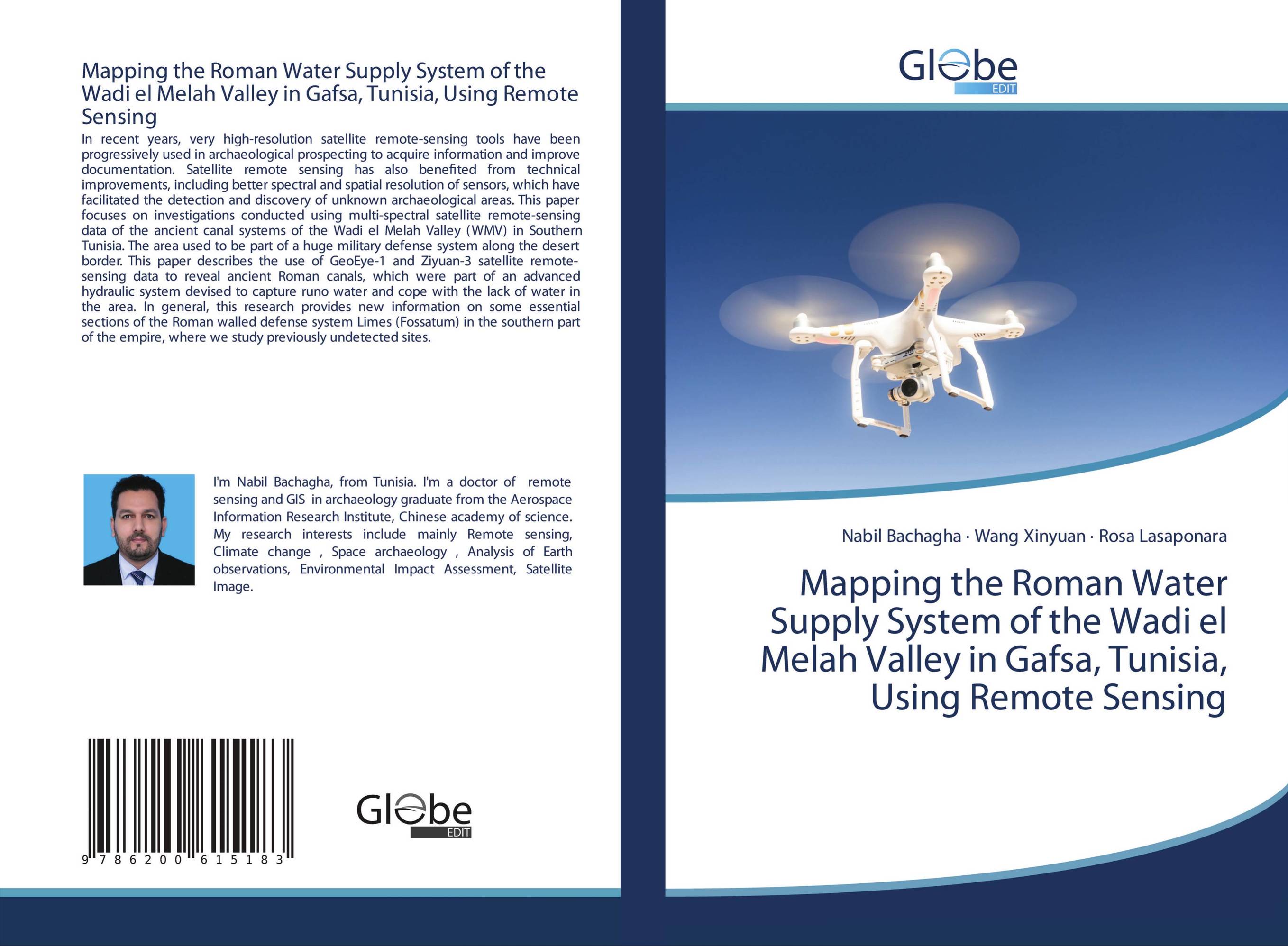
Mapping the Roman Water Supply System of the Wadi el Melah Valley in Gafsa, Tunisia, Using Remote Sensing.

В наличии
| Местонахождение: Алматы | Состояние экземпляра: новый |

Бумажная
версия
версия
Автор: Nabil Bachagha,Wang Xinyuan and Rosa Lasaponara
ISBN: 9786200615183
Год издания: 2020
Формат книги: 60×90/16 (145×215 мм)
Количество страниц: 52
Издательство: GlobeEdit
Цена: 20988 тг
Положить в корзину
| Способы доставки в город Алматы * комплектация (срок до отгрузки) не более 2 рабочих дней |
| Самовывоз из города Алматы (пункты самовывоза партнёра CDEK) |
| Курьерская доставка CDEK из города Москва |
| Доставка Почтой России из города Москва |
Аннотация: In recent years, very high-resolution satellite remote-sensing tools have been progressively used in archaeological prospecting to acquire information and improve documentation. Satellite remote sensing has also benefited from technical improvements, including better spectral and spatial resolution of sensors, which have facilitated the detection and discovery of unknown archaeological areas. This paper focuses on investigations conducted using multi-spectral satellite remote-sensing data of the ancient canal systems of the Wadi el Melah Valley (WMV) in Southern Tunisia. The area used to be part of a huge military defense system along the desert border. This paper describes the use of GeoEye-1 and Ziyuan-3 satellite remote-sensing data to reveal ancient Roman canals, which were part of an advanced hydraulic system devised to capture runo water and cope with the lack of water in the area. In general, this research provides new information on some essential sections of the Roman walled defense system Limes (Fossatum) in the southern part of the empire, where we study previously undetected sites.
Ключевые слова: archaeological, Water supply system, Roman, Remote sensing


