| Поиск по каталогу |
|
(строгое соответствие)
|
- Профессиональная
- Научно-популярная
- Художественная
- Публицистика
- Детская
- Искусство
- Хобби, семья, дом
- Спорт
- Путеводители
- Блокноты, тетради, открытки
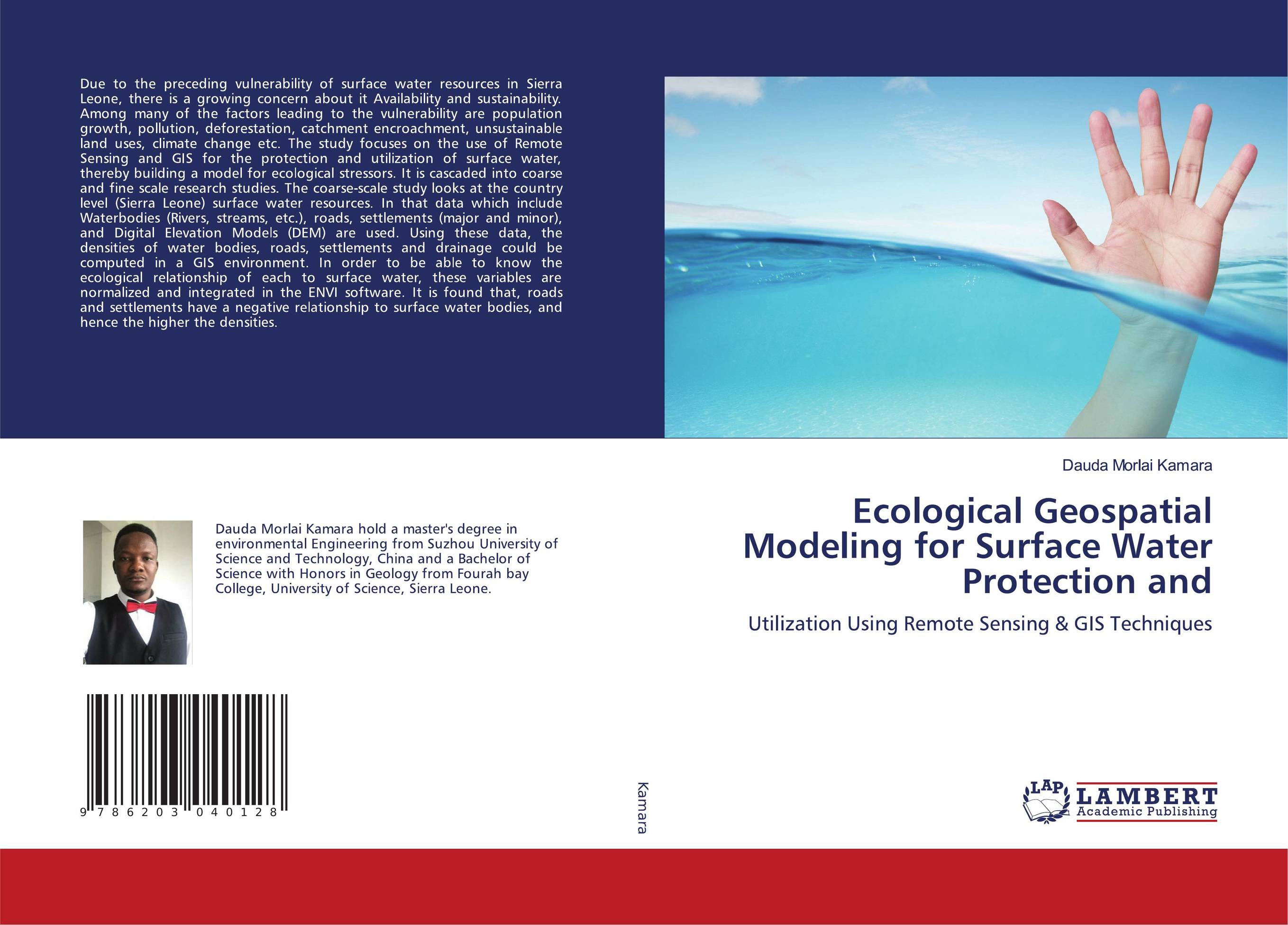
Ecological Geospatial Modeling for Surface Water Protection and. Utilization Using Remote Sensing & GIS Techniques

В наличии
| Местонахождение: Алматы | Состояние экземпляра: новый |

Бумажная
версия
версия
Автор: Dauda Morlai Kamara
ISBN: 9786203040128
Год издания: 2020
Формат книги: 60×90/16 (145×215 мм)
Количество страниц: 168
Издательство: LAP LAMBERT Academic Publishing
Цена: 42533 тг
Положить в корзину
| Способы доставки в город Алматы * комплектация (срок до отгрузки) не более 2 рабочих дней |
| Самовывоз из города Алматы (пункты самовывоза партнёра CDEK) |
| Курьерская доставка CDEK из города Москва |
| Доставка Почтой России из города Москва |
Аннотация: Due to the preceding vulnerability of surface water resources in Sierra Leone, there is a growing concern about it Availability and sustainability. Among many of the factors leading to the vulnerability are population growth, pollution, deforestation, catchment encroachment, unsustainable land uses, climate change etc. The study focuses on the use of Remote Sensing and GIS for the protection and utilization of surface water, thereby building a model for ecological stressors. It is cascaded into coarse and fine scale research studies. The coarse-scale study looks at the country level (Sierra Leone) surface water resources. In that data which include Waterbodies (Rivers, streams, etc.), roads, settlements (major and minor), and Digital Elevation Models (DEM) are used. Using these data, the densities of water bodies, roads, settlements and drainage could be computed in a GIS environment. In order to be able to know the ecological relationship of each to surface water, these variables are normalized and integrated in the ENVI software. It is found that, roads and settlements have a negative relationship to surface water bodies, and hence the higher the densities.
Ключевые слова: Surface Water, Protection, Utilization, Remote Sensing Ecological Index (RSEI) model, Remote Sensing & GIS


