| Поиск по каталогу |
|
(строгое соответствие)
|
- Профессиональная
- Научно-популярная
- Художественная
- Публицистика
- Детская
- Искусство
- Хобби, семья, дом
- Спорт
- Путеводители
- Блокноты, тетради, открытки
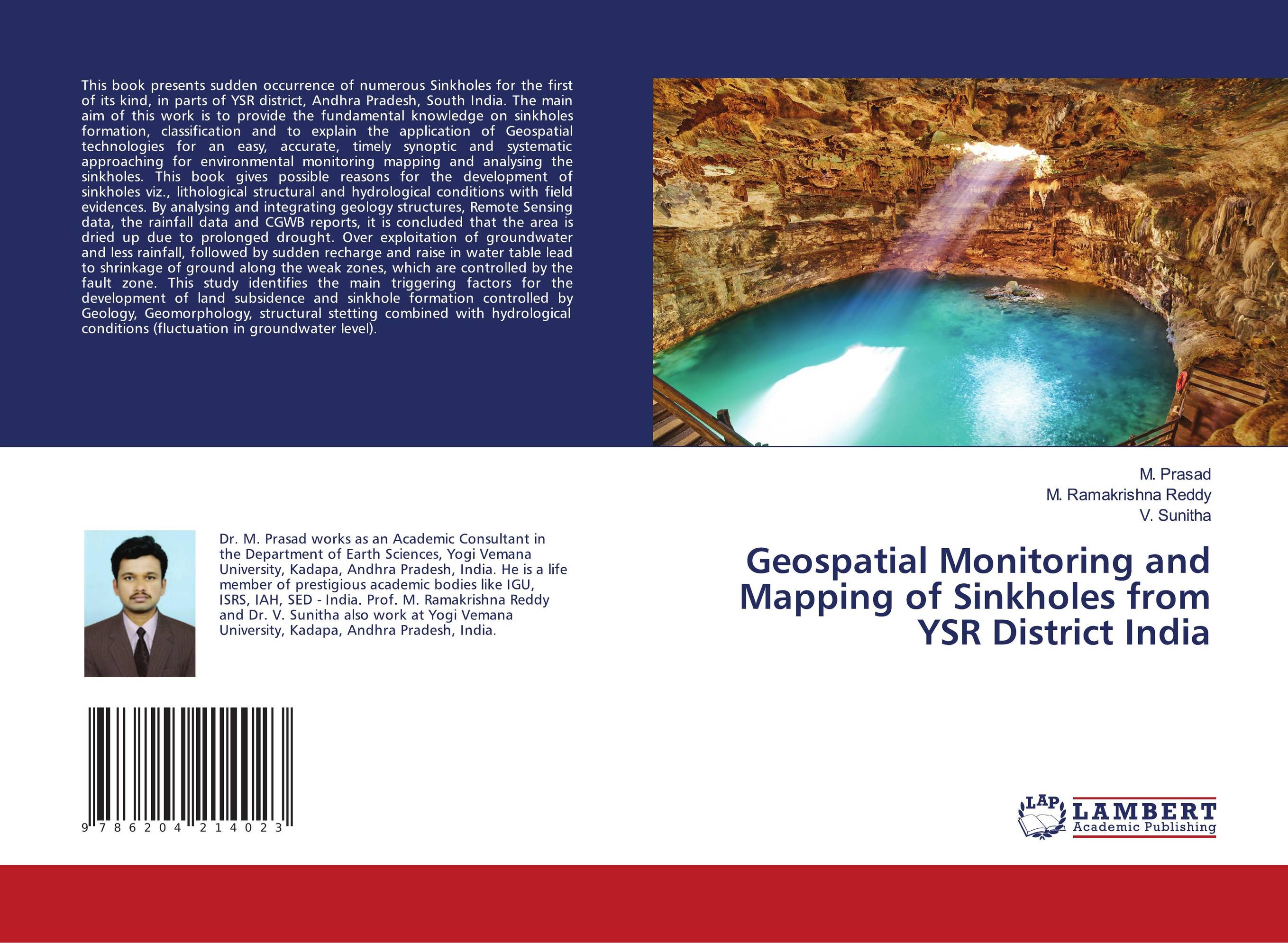
Geospatial Monitoring and Mapping of Sinkholes from YSR District India.

В наличии
| Местонахождение: Алматы | Состояние экземпляра: новый |

Бумажная
версия
версия
Автор: M. Prasad,M. Ramakrishna Reddy and V. Sunitha
ISBN: 9786204214023
Год издания: 1905
Формат книги: 60×90/16 (145×215 мм)
Количество страниц: 68
Издательство: LAP LAMBERT Academic Publishing
Цена: 23493 тг
Положить в корзину
| Способы доставки в город Алматы * комплектация (срок до отгрузки) не более 2 рабочих дней |
| Самовывоз из города Алматы (пункты самовывоза партнёра CDEK) |
| Курьерская доставка CDEK из города Москва |
| Доставка Почтой России из города Москва |
Аннотация: This book presents sudden occurrence of numerous Sinkholes for the first of its kind, in parts of YSR district, Andhra Pradesh, South India. The main aim of this work is to provide the fundamental knowledge on sinkholes formation, classification and to explain the application of Geospatial technologies for an easy, accurate, timely synoptic and systematic approaching for environmental monitoring mapping and analysing the sinkholes. This book gives possible reasons for the development of sinkholes viz., lithological structural and hydrological conditions with field evidences. By analysing and integrating geology structures, Remote Sensing data, the rainfall data and CGWB reports, it is concluded that the area is dried up due to prolonged drought. Over exploitation of groundwater and less rainfall, followed by sudden recharge and raise in water table lead to shrinkage of ground along the weak zones, which are controlled by the fault zone. This study identifies the main triggering factors for the development of land subsidence and sinkhole formation controlled by Geology, Geomorphology, structural stetting combined with hydrological conditions (fluctuation in groundwater level).
Ключевые слова: Sinkholes, Limestone, Geospatial-technologies, YSR District, land subsidence, geospatial monitoring, sinkhole mapping Buggavanka River


