| Поиск по каталогу |
|
(строгое соответствие)
|
- Профессиональная
- Научно-популярная
- Художественная
- Публицистика
- Детская
- Искусство
- Хобби, семья, дом
- Спорт
- Путеводители
- Блокноты, тетради, открытки
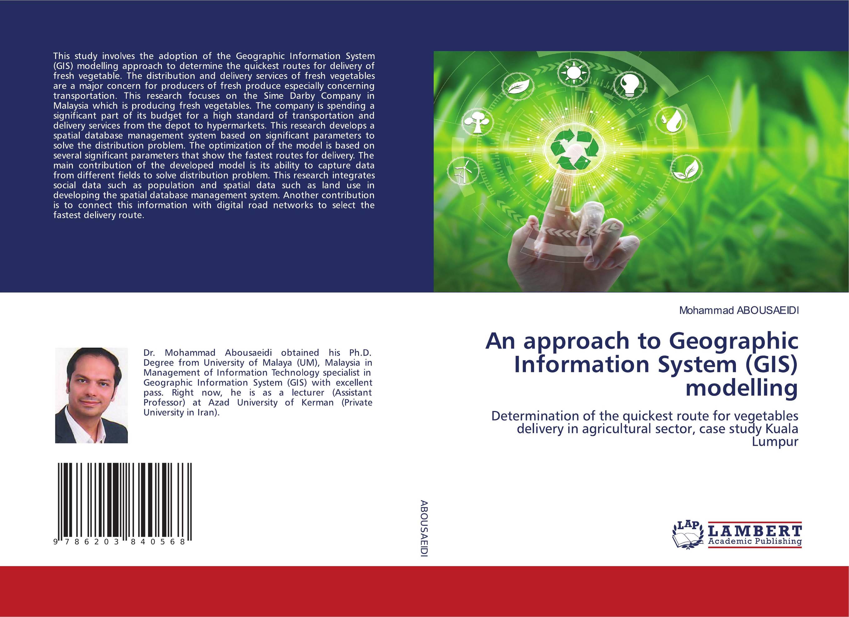
An approach to Geographic Information System (GIS) modelling. Determination of the quickest route for vegetables delivery in agricultural sector, case study Kuala Lumpur

В наличии
| Местонахождение: Алматы | Состояние экземпляра: новый |

Бумажная
версия
версия
Автор: Mohammad Abousaeidi
ISBN: 9786203840568
Год издания: 1905
Формат книги: 60×90/16 (145×215 мм)
Количество страниц: 108
Издательство: LAP LAMBERT Academic Publishing
Цена: 32173 тг
Положить в корзину
| Способы доставки в город Алматы * комплектация (срок до отгрузки) не более 2 рабочих дней |
| Самовывоз из города Алматы (пункты самовывоза партнёра CDEK) |
| Курьерская доставка CDEK из города Москва |
| Доставка Почтой России из города Москва |
Аннотация: This study involves the adoption of the Geographic Information System (GIS) modelling approach to determine the quickest routes for delivery of fresh vegetable. The distribution and delivery services of fresh vegetables are a major concern for producers of fresh produce especially concerning transportation. This research focuses on the Sime Darby Company in Malaysia which is producing fresh vegetables. The company is spending a significant part of its budget for a high standard of transportation and delivery services from the depot to hypermarkets. This research develops a spatial database management system based on significant parameters to solve the distribution problem. The optimization of the model is based on several significant parameters that show the fastest routes for delivery. The main contribution of the developed model is its ability to capture data from different fields to solve distribution problem. This research integrates social data such as population and spatial data such as land use in developing the spatial database management system. Another contribution is to connect this information with digital road networks to select the fastest delivery route.
Ключевые слова: Geographic information system, Kuala Lumpur, Transportation Management


