| Поиск по каталогу |
|
(строгое соответствие)
|
- Профессиональная
- Научно-популярная
- Художественная
- Публицистика
- Детская
- Искусство
- Хобби, семья, дом
- Спорт
- Путеводители
- Блокноты, тетради, открытки
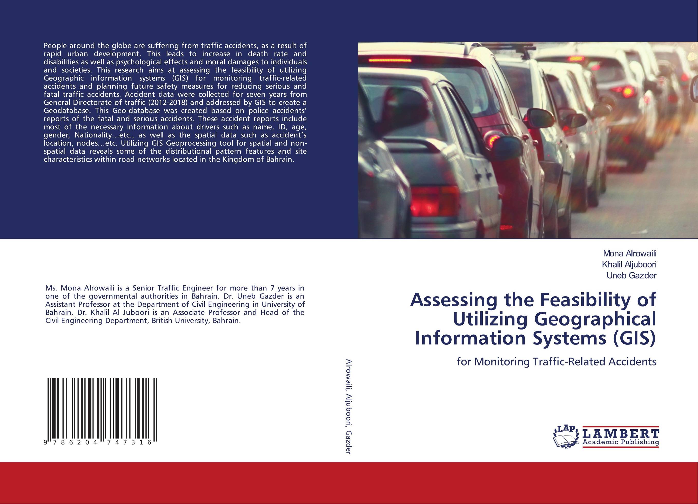
Assessing the Feasibility of Utilizing Geographical Information Systems (GIS). For Monitoring Traffic-Related Accidents

В наличии
| Местонахождение: Алматы | Состояние экземпляра: новый |

Бумажная
версия
версия
Автор: Mona Alrowaili,Khalil Aljuboori and Uneb Gazder
ISBN: 9786204747316
Год издания: 1905
Формат книги: 60×90/16 (145×215 мм)
Количество страниц: 132
Издательство: LAP LAMBERT Academic Publishing
Цена: 39802 тг
Положить в корзину
| Способы доставки в город Алматы * комплектация (срок до отгрузки) не более 2 рабочих дней |
| Самовывоз из города Алматы (пункты самовывоза партнёра CDEK) |
| Курьерская доставка CDEK из города Москва |
| Доставка Почтой России из города Москва |
Аннотация: People around the globe are suffering from traffic accidents, as a result of rapid urban development. This leads to increase in death rate and disabilities as well as psychological effects and moral damages to individuals and societies. This research aims at assessing the feasibility of utilizing Geographic information systems (GIS) for monitoring traffic-related accidents and planning future safety measures for reducing serious and fatal traffic accidents. Accident data were collected for seven years from General Directorate of traffic (2012-2018) and addressed by GIS to create a Geodatabase. This Geo-database was created based on police accidents’ reports of the fatal and serious accidents. These accident reports include most of the necessary information about drivers such as name, ID, age, gender, Nationality…etc., as well as the spatial data such as accident’s location, nodes…etc. Utilizing GIS Geoprocessing tool for spatial and non-spatial data reveals some of the distributional pattern features and site characteristics within road networks located in the Kingdom of Bahrain.
Ключевые слова: traffic accidents, GIS, Geographical Information Systems, civil engineering


