| Поиск по каталогу |
|
(строгое соответствие)
|
- Профессиональная
- Научно-популярная
- Художественная
- Публицистика
- Детская
- Искусство
- Хобби, семья, дом
- Спорт
- Путеводители
- Блокноты, тетради, открытки
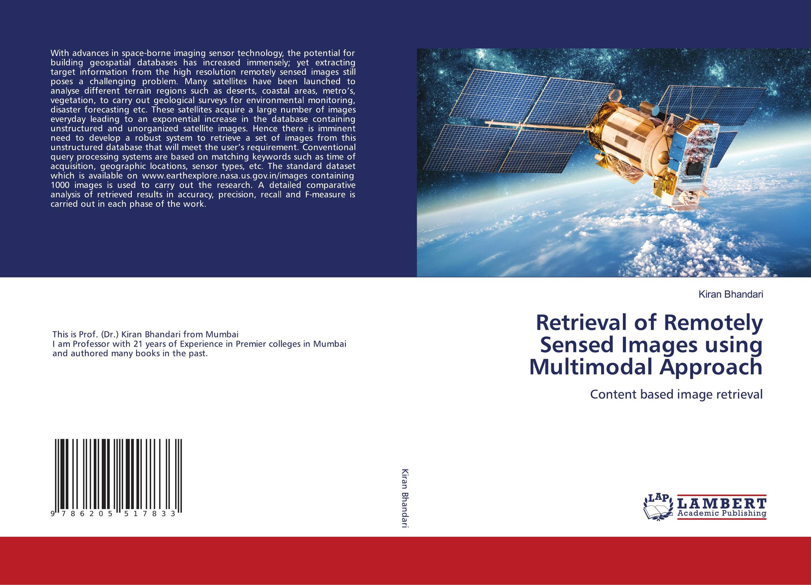
Retrieval of Remotely Sensed Images using Multimodal Approach. Content based image retrieval

В наличии
| Местонахождение: Алматы | Состояние экземпляра: новый |

Бумажная
версия
версия
Автор: Kiran Bhandari
ISBN: 9786205517833
Год издания: 1905
Формат книги: 60×90/16 (145×215 мм)
Количество страниц: 144
Издательство: LAP LAMBERT Academic Publishing
Цена: 43289 тг
Положить в корзину
| Способы доставки в город Алматы * комплектация (срок до отгрузки) не более 2 рабочих дней |
| Самовывоз из города Алматы (пункты самовывоза партнёра CDEK) |
| Курьерская доставка CDEK из города Москва |
| Доставка Почтой России из города Москва |
Аннотация: With advances in space-borne imaging sensor technology, the potential for building geospatial databases has increased immensely; yet extracting target information from the high resolution remotely sensed images still poses a challenging problem. Many satellites have been launched to analyse different terrain regions such as deserts, coastal areas, metro’s, vegetation, to carry out geological surveys for environmental monitoring, disaster forecasting etc. These satellites acquire a large number of images everyday leading to an exponential increase in the database containing unstructured and unorganized satellite images. Hence there is imminent need to develop a robust system to retrieve a set of images from this unstructured database that will meet the user’s requirement. Conventional query processing systems are based on matching keywords such as time of acquisition, geographic locations, sensor types, etc. The standard dataset which is available on www.earthexplore.nasa.us.gov.in/images containing 1000 images is used to carry out the research. A detailed comparative analysis of retrieved results in accuracy, precision, recall and F-measure is carried out in each phase of the work.
Ключевые слова: High resolution satellite images, Image Segmentation and Classification, Multi-resolution Analysis, Enhanced Local Tetra Pattern, Modified Block Truncation Coding Relevance Feedback.


