| Поиск по каталогу |
|
(строгое соответствие)
|
- Профессиональная
- Научно-популярная
- Художественная
- Публицистика
- Детская
- Искусство
- Хобби, семья, дом
- Спорт
- Путеводители
- Блокноты, тетради, открытки
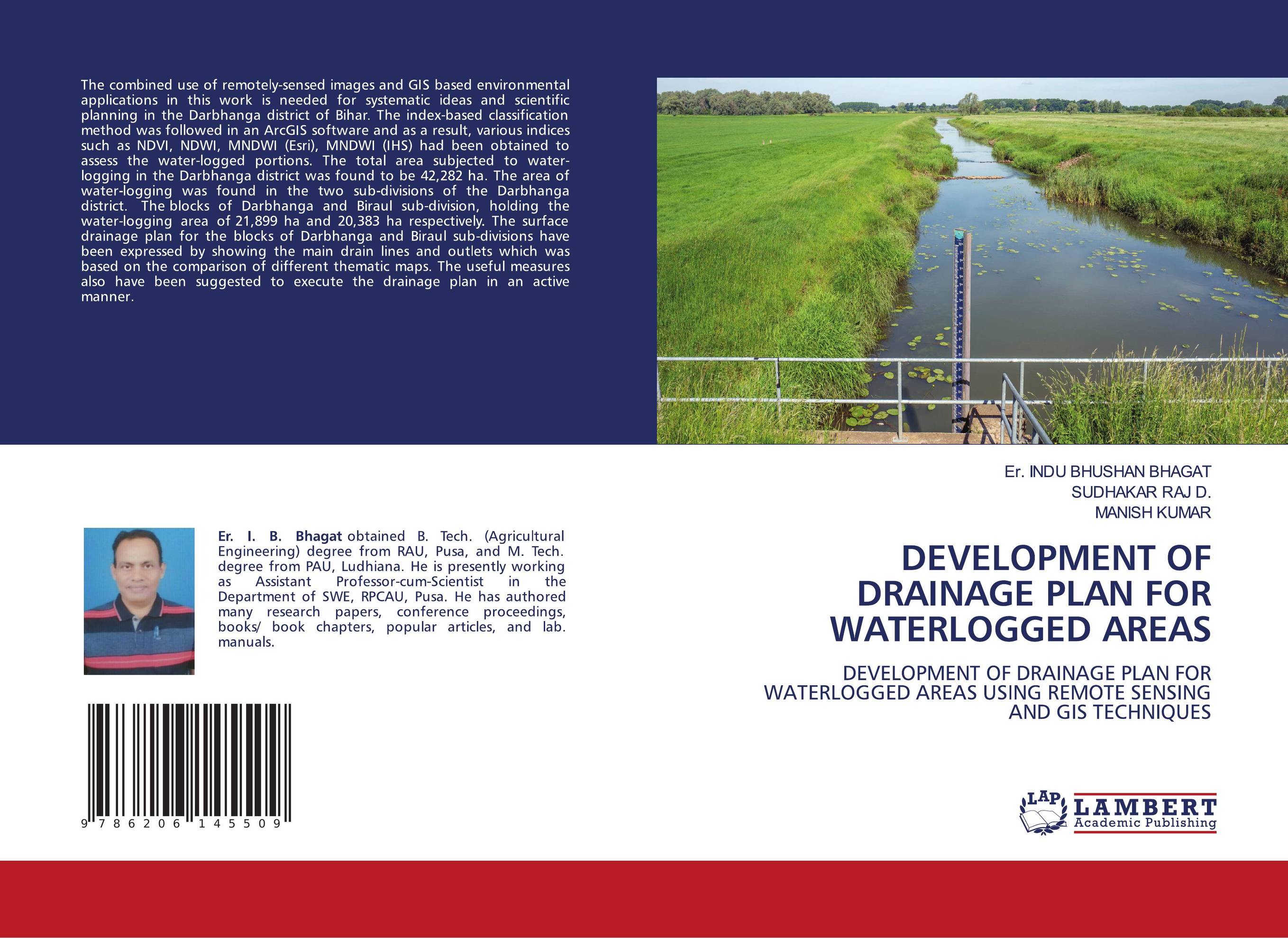
DEVELOPMENT OF DRAINAGE PLAN FOR WATERLOGGED AREAS. DEVELOPMENT OF DRAINAGE PLAN FOR WATERLOGGED AREAS USING REMOTE SENSING AND GIS TECHNIQUES

В наличии
| Местонахождение: Алматы | Состояние экземпляра: новый |

Бумажная
версия
версия
Автор: Er. INDU BHUSHAN BHAGAT,SUDHAKAR RAJ D. and Manish Kumar
ISBN: 9786206145509
Год издания: 1905
Формат книги: 60×90/16 (145×215 мм)
Количество страниц: 100
Издательство: LAP LAMBERT Academic Publishing
Цена: 34793 тг
Положить в корзину
Позиции в рубрикаторе
Отрасли экономики:Код товара: 757507
| Способы доставки в город Алматы * комплектация (срок до отгрузки) не более 2 рабочих дней |
| Самовывоз из города Алматы (пункты самовывоза партнёра CDEK) |
| Курьерская доставка CDEK из города Москва |
| Доставка Почтой России из города Москва |
Аннотация: The combined use of remotely-sensed images and GIS based environmental applications in this work is needed for systematic ideas and scientific planning in the Darbhanga district of Bihar. The index-based classification method was followed in an ArcGIS software and as a result, various indices such as NDVI, NDWI, MNDWI (Esri), MNDWI (IHS) had been obtained to assess the water-logged portions. The total area subjected to water-logging in the Darbhanga district was found to be 42,282 ha. The area of water-logging was found in the two sub-divisions of the Darbhanga district. The blocks of Darbhanga and Biraul sub-division, holding the water-logging area of 21,899 ha and 20,383 ha respectively. The surface drainage plan for the blocks of Darbhanga and Biraul sub-divisions have been expressed by showing the main drain lines and outlets which was based on the comparison of different thematic maps. The useful measures also have been suggested to execute the drainage plan in an active manner.
Ключевые слова: waterlogged, Drainage Plan, Remote sensing, GIS, Darbhanga
Похожие издания
 | Отрасли экономики: Агропромышленный комплекс -> Растениеводство -> Садоводство INDU BHUSHAN BHAGAT,SUDHAKAR RAJ D and Manish Kumar DEVELOPMENT OF DRAINAGE PLAN FOR WATERLOGGED AREAS. OF DARBHANGA DISTRICT USING RS-GIS. 1905 г., 100 стр., мягкий переплет The combined use of remotely-sensed images and GIS based environmental applications in this work is needed for systematic ideas and scientific planning in the Darbhanga district of Bihar. Various indices such as NDVI, NDWI, MNDWI (Esri), MNDWI (IHS) had been obtained to assess the water-logged areas. The total area subjected to water-logging in... | 34793 тг |


