


| Поиск по каталогу |
|
(строгое соответствие)
|
- Профессиональная
- Научно-популярная
- Художественная
- Публицистика
- Детская
- Искусство
- Хобби, семья, дом
- Спорт
- Путеводители
- Блокноты, тетради, открытки
Flood Hazard Vulnerability Assessment Using Remote Sensing and GIS. A Case Study of Morbi Taluka, Morbi, Gujarat, India
В наличии
| Местонахождение: Алматы | Состояние экземпляра: новый |

Бумажная
версия
версия
Автор: Prit Alkeshkumar Gandhi
ISBN: 9786206146582
Год издания: 1905
Формат книги: 60×90/16 (145×215 мм)
Количество страниц: 292
Издательство: LAP LAMBERT Academic Publishing
Цена: 56617 тг
Положить в корзину
| Способы доставки в город Алматы * комплектация (срок до отгрузки) не более 2 рабочих дней |
| Самовывоз из города Алматы (пункты самовывоза партнёра CDEK) |
| Курьерская доставка CDEK из города Москва |
| Доставка Почтой России из города Москва |
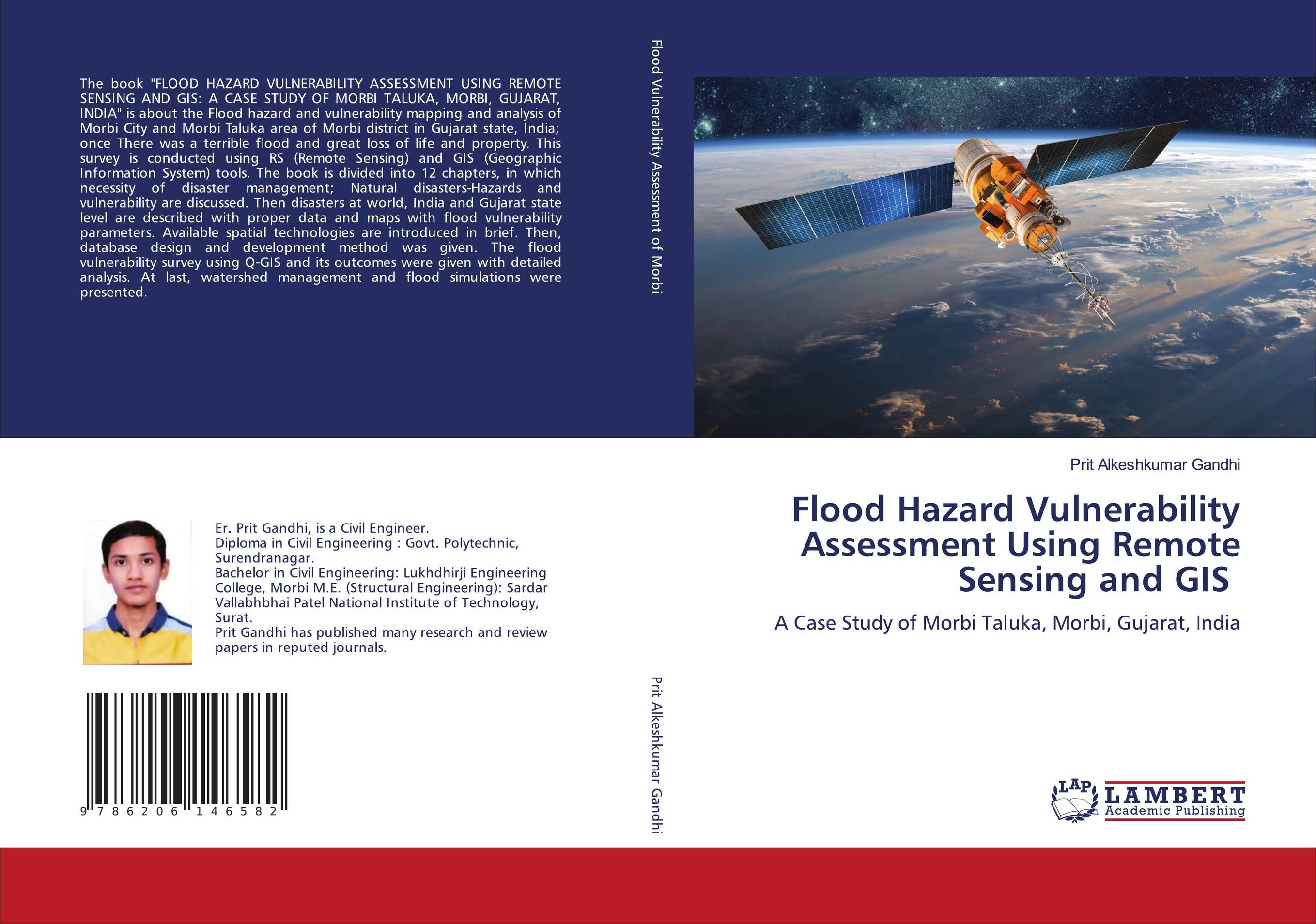
Аннотация: The book "FLOOD HAZARD VULNERABILITY ASSESSMENT USING REMOTE SENSING AND GIS: A CASE STUDY OF MORBI TALUKA, MORBI, GUJARAT, INDIA" is about the Flood hazard and vulnerability mapping and analysis of Morbi City and Morbi Taluka area of Morbi district in Gujarat state, India; once There was a terrible flood and great loss of life and property. This survey is conducted using RS (Remote Sensing) and GIS (Geographic Information System) tools. The book is divided into 12 chapters, in which necessity of disaster management; Natural disasters-Hazards and vulnerability are discussed. Then disasters at world, India and Gujarat state level are described with proper data and maps with flood vulnerability parameters. Available spatial technologies are introduced in brief. Then, database design and development method was given. The flood vulnerability survey using Q-GIS and its outcomes were given with detailed analysis. At last, watershed management and flood simulations were presented.
Ключевые слова: GIS, GPS, Natural Disasters Hazard, vulnerability
Похожие издания
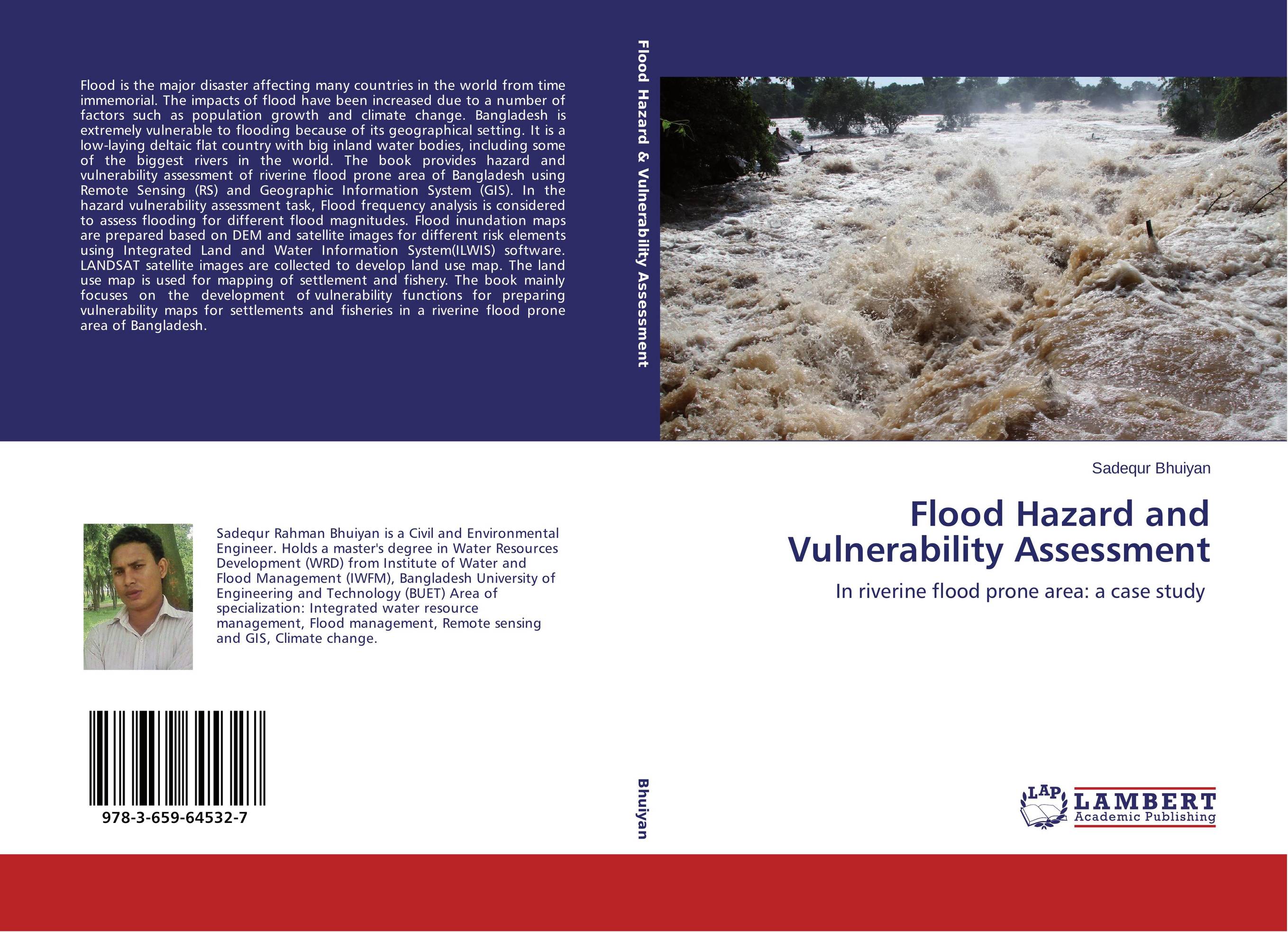 | Отрасли знаний: Науки о Земле -> География Sadequr Bhuiyan Flood Hazard and Vulnerability Assessment. In riverine flood prone area: a case study. 2014 г., 132 стр., мягкий переплет Flood is the major disaster affecting many countries in the world from time immemorial. The impacts of flood have been increased due to a number of factors such as population growth and climate change. Bangladesh is extremely vulnerable to flooding because of its geographical setting. It is a low-laying deltaic flat country with big inland water... | 36414 тг |
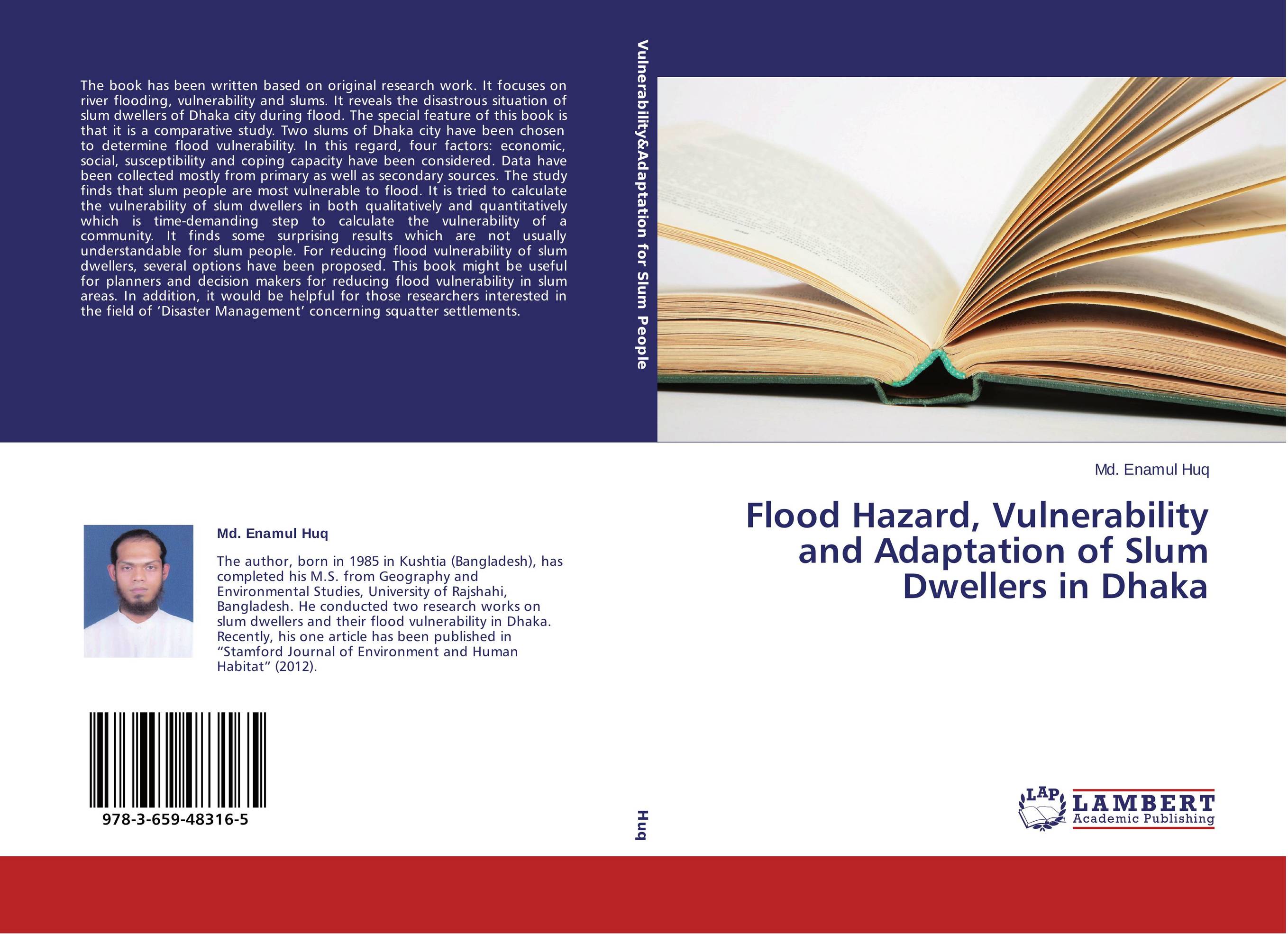 | Отрасли знаний: Науки о Земле -> География Md. Enamul Huq Flood Hazard, Vulnerability and Adaptation of Slum Dwellers in Dhaka. . 2013 г., 116 стр., мягкий переплет The book has been written based on original research work. It focuses on river flooding, vulnerability and slums. It reveals the disastrous situation of slum dwellers of Dhaka city during flood. The special feature of this book is that it is a comparative study. Two slums of Dhaka city have been chosen to determine flood vulnerability. In this... | 32457 тг |