


| Поиск по каталогу |
|
(строгое соответствие)
|
- Профессиональная
- Научно-популярная
- Художественная
- Публицистика
- Детская
- Искусство
- Хобби, семья, дом
- Спорт
- Путеводители
- Блокноты, тетради, открытки
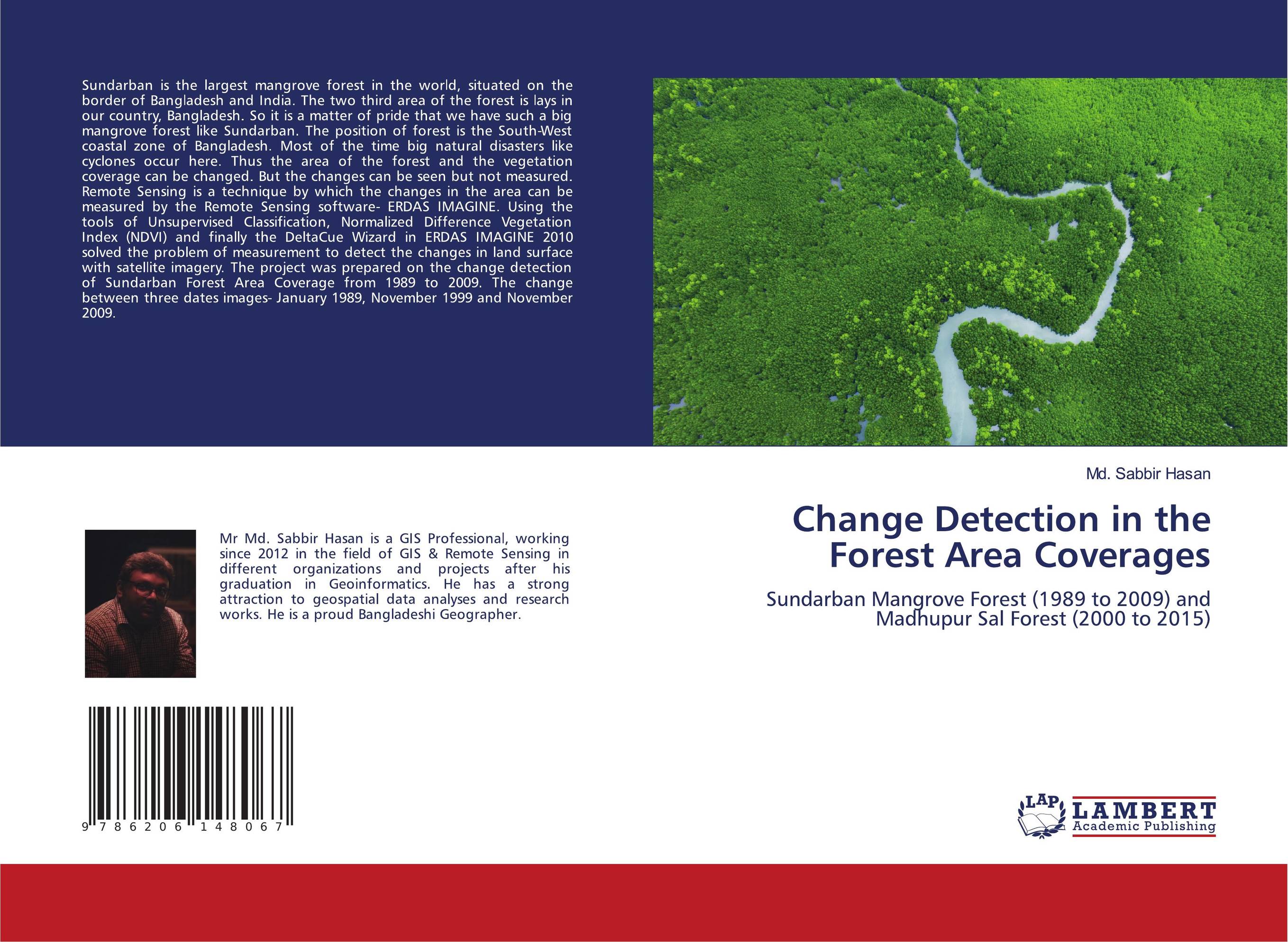
Change Detection in the Forest Area Coverages. Sundarban Mangrove Forest (1989 to 2009) and Madhupur Sal Forest (2000 to 2015)
В наличии
| Местонахождение: Алматы | Состояние экземпляра: новый |

Бумажная
версия
версия
Автор: Md. Sabbir Hasan
ISBN: 9786206148067
Год издания: 1905
Формат книги: 60×90/16 (145×215 мм)
Количество страниц: 72
Издательство: LAP LAMBERT Academic Publishing
Цена: 25571 тг
Положить в корзину
| Способы доставки в город Алматы * комплектация (срок до отгрузки) не более 2 рабочих дней |
| Самовывоз из города Алматы (пункты самовывоза партнёра CDEK) |
| Курьерская доставка CDEK из города Москва |
| Доставка Почтой России из города Москва |
Аннотация: Sundarban is the largest mangrove forest in the world, situated on the border of Bangladesh and India. The two third area of the forest is lays in our country, Bangladesh. So it is a matter of pride that we have such a big mangrove forest like Sundarban. The position of forest is the South-West coastal zone of Bangladesh. Most of the time big natural disasters like cyclones occur here. Thus the area of the forest and the vegetation coverage can be changed. But the changes can be seen but not measured. Remote Sensing is a technique by which the changes in the area can be measured by the Remote Sensing software- ERDAS IMAGINE. Using the tools of Unsupervised Classification, Normalized Difference Vegetation Index (NDVI) and finally the DeltaCue Wizard in ERDAS IMAGINE 2010 solved the problem of measurement to detect the changes in land surface with satellite imagery. The project was prepared on the change detection of Sundarban Forest Area Coverage from 1989 to 2009. The change between three dates images- January 1989, November 1999 and November 2009.
Ключевые слова: GIS, Remote sensing, change detection, Vegetation, Sundarban, Mangrove forest, Forest Coverage
Похожие издания
 | Отрасли экономики: Машиностроение -> Авиастроение Meshack Ndiritu,Collins Mito and Remmy Kesis Change Detection for Mau Forest Complex Kenya. . 2015 г., 60 стр., мягкий переплет The book presents results of a study for Mau Forest Complex in Kenya between the period 2008 and 2013. It applies a Change Detection technique using Remote Sensing and Geographical Information Systems. The objectives of the study is to assess the Government of Kenya's efforts to rehabilitate the Forest Complex as a result of previous escalated... | 21272 тг |