| Поиск по каталогу |
|
(строгое соответствие)
|
- Профессиональная
- Научно-популярная
- Художественная
- Публицистика
- Детская
- Искусство
- Хобби, семья, дом
- Спорт
- Путеводители
- Блокноты, тетради, открытки
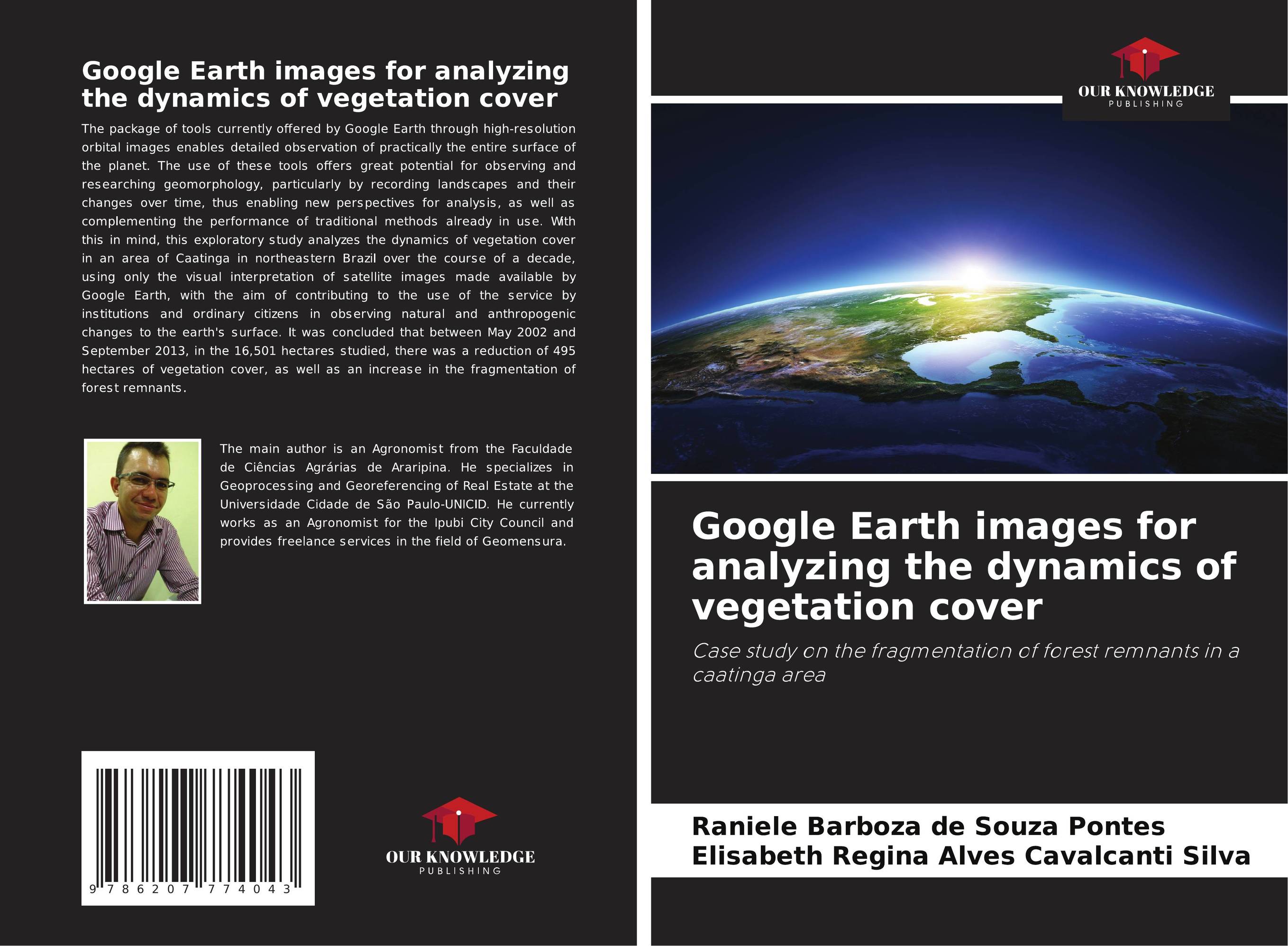
Google Earth images for analyzing the dynamics of vegetation cover. Case study on the fragmentation of forest remnants in a caatinga area

В наличии
| Местонахождение: Алматы | Состояние экземпляра: новый |

Бумажная
версия
версия
Автор: Raniele Barboza de Souza Pontes and Elisabeth Regina Alves Cavalcanti Silva
ISBN: 9786207774043
Год издания: 2024
Формат книги: 60×90/16 (145×215 мм)
Количество страниц: 52
Издательство: Our Knowledge Publishing
Цена: 17827 тг
Положить в корзину
Ожидает определения тематики
Код товара: 886984
| Способы доставки в город Алматы * комплектация (срок до отгрузки) не более 2 рабочих дней |
| Самовывоз из города Алматы (пункты самовывоза партнёра CDEK) |
| Курьерская доставка CDEK из города Москва |
| Доставка Почтой России из города Москва |
Аннотация: The package of tools currently offered by Google Earth through high-resolution orbital images enables detailed observation of practically the entire surface of the planet. The use of these tools offers great potential for observing and researching geomorphology, particularly by recording landscapes and their changes over time, thus enabling new perspectives for analysis, as well as complementing the performance of traditional methods already in use. With this in mind, this exploratory study analyzes the dynamics of vegetation cover in an area of Caatinga in northeastern Brazil over the course of a decade, using only the visual interpretation of satellite images made available by Google Earth, with the aim of contributing to the use of the service by institutions and ordinary citizens in observing natural and anthropogenic changes to the earth's surface. It was concluded that between May 2002 and September 2013, in the 16,501 hectares studied, there was a reduction of 495 hectares of vegetation cover, as well as an increase in the fragmentation of forest remnants.
Ключевые слова: Google Earth, High Resolution Images, Visual Interpretation, vegetation cover


