| Поиск по каталогу |
|
(строгое соответствие)
|
- Профессиональная
- Научно-популярная
- Художественная
- Публицистика
- Детская
- Искусство
- Хобби, семья, дом
- Спорт
- Путеводители
- Блокноты, тетради, открытки
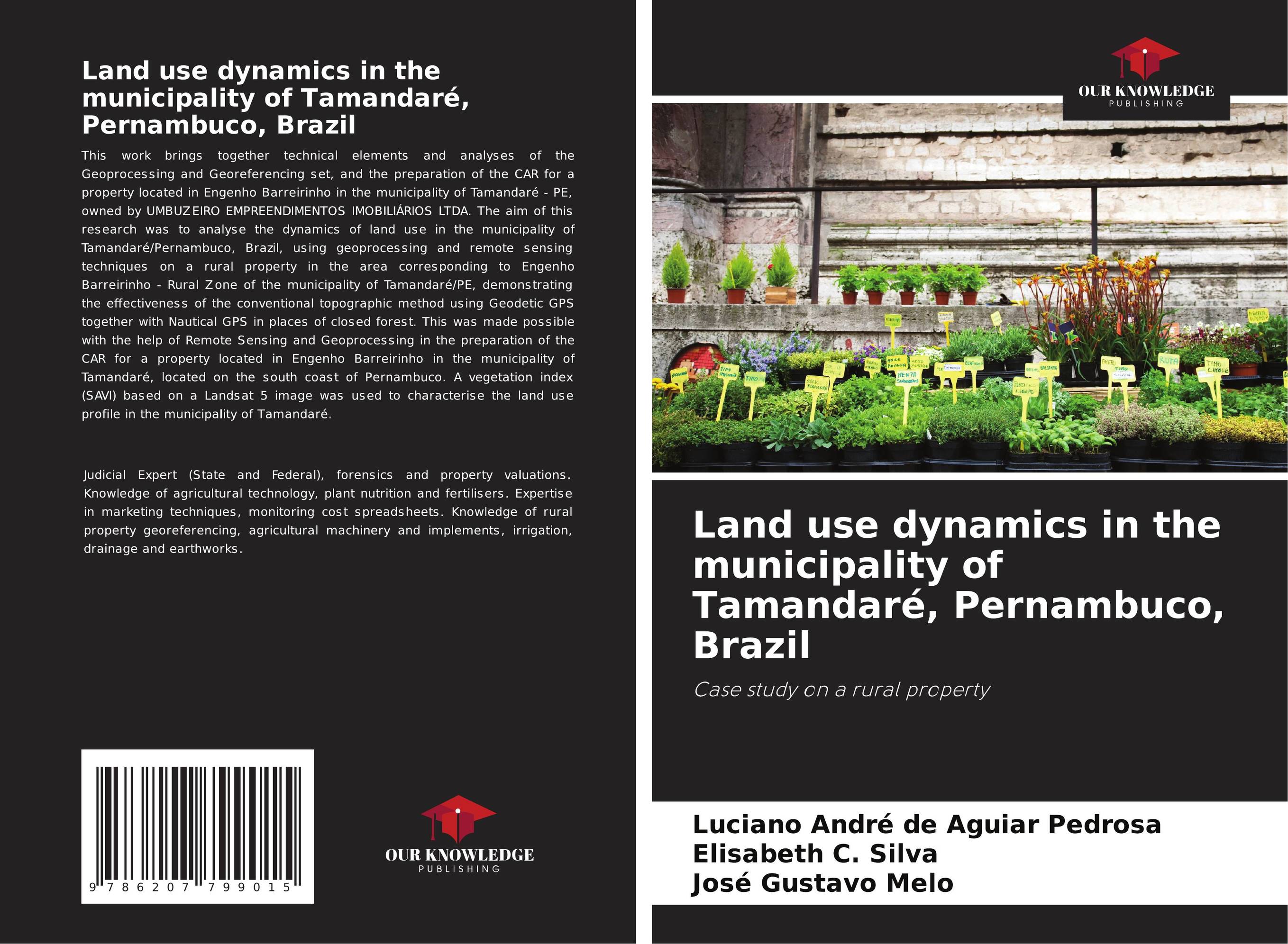
Land use dynamics in the municipality of Tamandaré, Pernambuco, Brazil. Case study on a rural property

В наличии
| Местонахождение: Алматы | Состояние экземпляра: новый |

Бумажная
версия
версия
Автор: Luciano André de Aguiar Pedrosa,Elisabeth C. Silva and José Gustavo Melo
ISBN: 9786207799015
Год издания: 2024
Формат книги: 60×90/16 (145×215 мм)
Количество страниц: 60
Издательство: Our Knowledge Publishing
Цена: 24982 тг
Положить в корзину
Ожидает определения тематики
Код товара: 887272
| Способы доставки в город Алматы * комплектация (срок до отгрузки) не более 2 рабочих дней |
| Самовывоз из города Алматы (пункты самовывоза партнёра CDEK) |
| Курьерская доставка CDEK из города Москва |
| Доставка Почтой России из города Москва |
Аннотация: This work brings together technical elements and analyses of the Geoprocessing and Georeferencing set, and the preparation of the CAR for a property located in Engenho Barreirinho in the municipality of Tamandaré - PE, owned by UMBUZEIRO EMPREENDIMENTOS IMOBILIÁRIOS LTDA. The aim of this research was to analyse the dynamics of land use in the municipality of Tamandaré/Pernambuco, Brazil, using geoprocessing and remote sensing techniques on a rural property in the area corresponding to Engenho Barreirinho - Rural Zone of the municipality of Tamandaré/PE, demonstrating the effectiveness of the conventional topographic method using Geodetic GPS together with Nautical GPS in places of closed forest. This was made possible with the help of Remote Sensing and Geoprocessing in the preparation of the CAR for a property located in Engenho Barreirinho in the municipality of Tamandaré, located on the south coast of Pernambuco. A vegetation index (SAVI) based on a Landsat 5 image was used to characterise the land use profile in the municipality of Tamandaré.
Ключевые слова: georeferencing, vegetation index, anthropisation, descriptive memorial


