| Поиск по каталогу |
|
(строгое соответствие)
|
- Профессиональная
- Научно-популярная
- Художественная
- Публицистика
- Детская
- Искусство
- Хобби, семья, дом
- Спорт
- Путеводители
- Блокноты, тетради, открытки
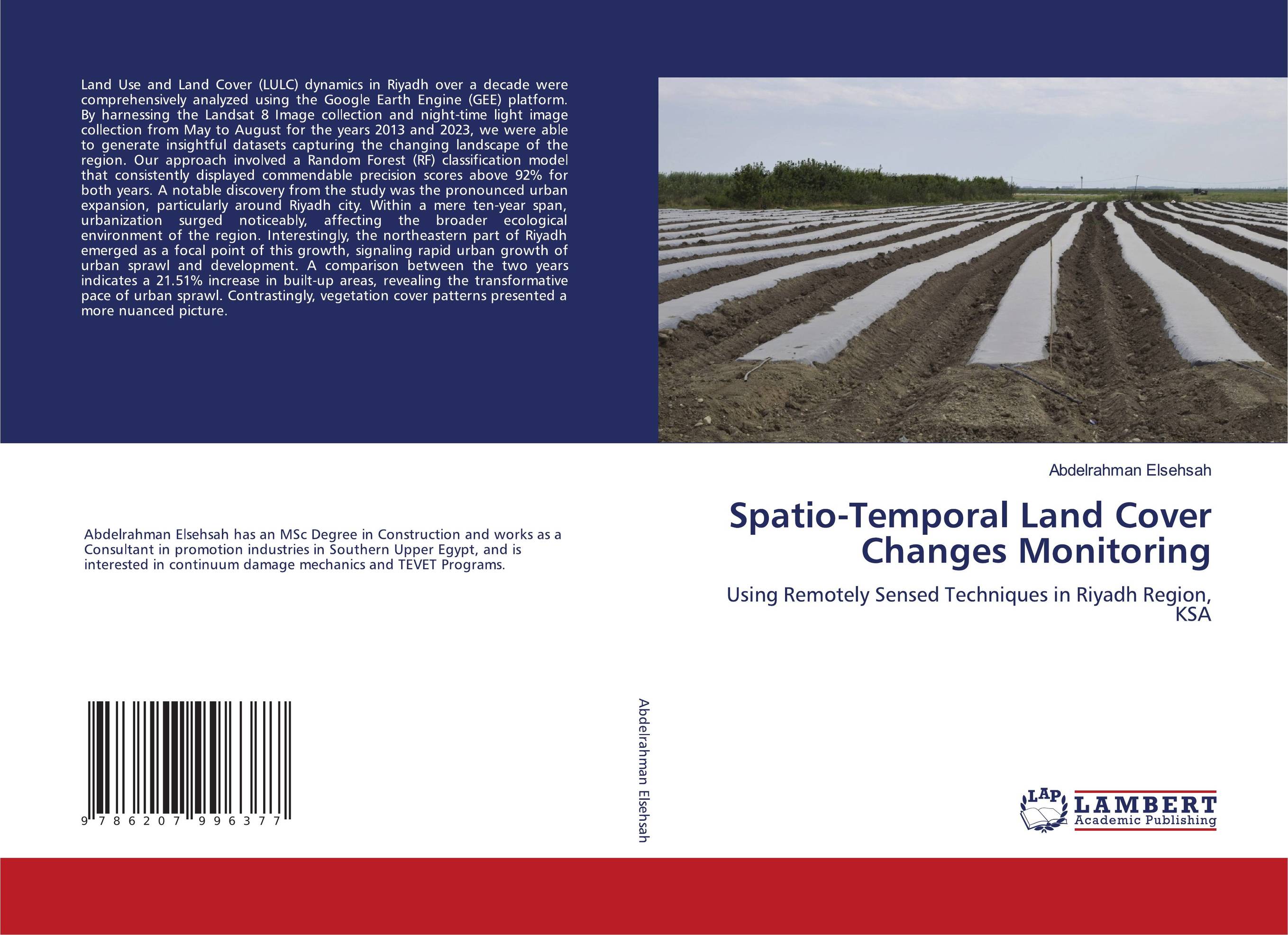
Spatio-Temporal Land Cover Changes Monitoring. Using Remotely Sensed Techniques in Riyadh Region, KSA

В наличии
| Местонахождение: Алматы | Состояние экземпляра: новый |

Бумажная
версия
версия
Автор: Abdelrahman Elsehsah
ISBN: 9786207996377
Год издания: 2024
Формат книги: 60×90/16 (145×215 мм)
Количество страниц: 116
Издательство: LAP LAMBERT Academic Publishing
Цена: 38068 тг
Положить в корзину
Ожидает определения тематики
Код товара: 895721
| Способы доставки в город Алматы * комплектация (срок до отгрузки) не более 2 рабочих дней |
| Самовывоз из города Алматы (пункты самовывоза партнёра CDEK) |
| Курьерская доставка CDEK из города Москва |
| Доставка Почтой России из города Москва |
Аннотация: Land Use and Land Cover (LULC) dynamics in Riyadh over a decade were comprehensively analyzed using the Google Earth Engine (GEE) platform. By harnessing the Landsat 8 Image collection and night-time light image collection from May to August for the years 2013 and 2023, we were able to generate insightful datasets capturing the changing landscape of the region. Our approach involved a Random Forest (RF) classification model that consistently displayed commendable precision scores above 92% for both years. A notable discovery from the study was the pronounced urban expansion, particularly around Riyadh city. Within a mere ten-year span, urbanization surged noticeably, affecting the broader ecological environment of the region. Interestingly, the northeastern part of Riyadh emerged as a focal point of this growth, signaling rapid urban growth of urban sprawl and development. A comparison between the two years indicates a 21.51% increase in built-up areas, revealing the transformative pace of urban sprawl. Contrastingly, vegetation cover patterns presented a more nuanced picture.
Ключевые слова: Remote sensing, land cover changes


