| Поиск по каталогу |
|
(строгое соответствие)
|
- Профессиональная
- Научно-популярная
- Художественная
- Публицистика
- Детская
- Искусство
- Хобби, семья, дом
- Спорт
- Путеводители
- Блокноты, тетради, открытки
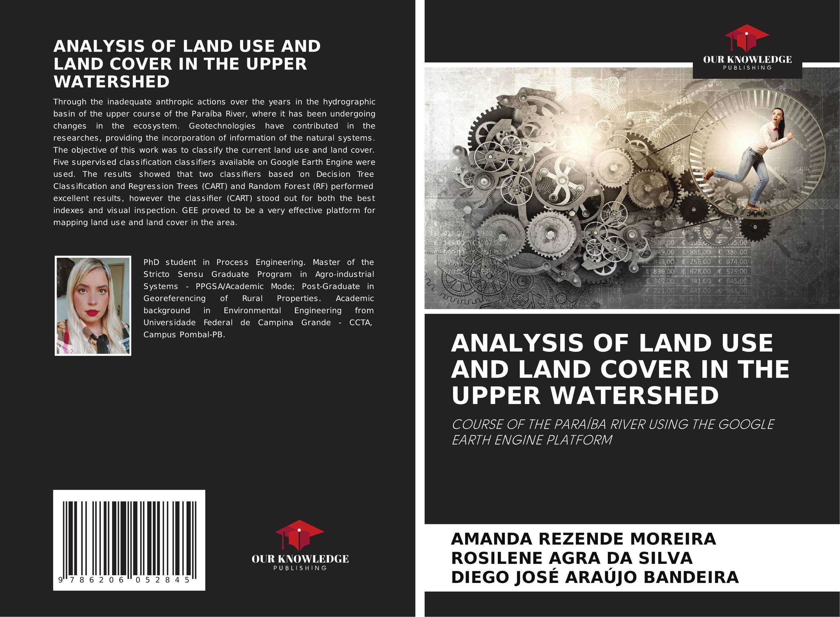
ANALYSIS OF LAND USE AND LAND COVER IN THE UPPER WATERSHED. COURSE OF THE PARAÍBA RIVER USING THE GOOGLE EARTH ENGINE PLATFORM

В наличии
| Местонахождение: Алматы | Состояние экземпляра: новый |

Бумажная
версия
версия
Автор: Amanda Rezende Moreira,Rosilene Agra Da Silva and Diego José Araújo Bandeira
ISBN: 9786206052845
Год издания: 2023
Формат книги: 60×90/16 (145×215 мм)
Количество страниц: 52
Издательство: Our Knowledge Publishing
Цена: 26810 тг
Положить в корзину
Ожидает определения тематики
Код товара: 899363
| Способы доставки в город Алматы * комплектация (срок до отгрузки) не более 2 рабочих дней |
| Самовывоз из города Алматы (пункты самовывоза партнёра CDEK) |
| Курьерская доставка CDEK из города Москва |
| Доставка Почтой России из города Москва |
Аннотация: Through the inadequate anthropic actions over the years in the hydrographic basin of the upper course of the Paraíba River, where it has been undergoing changes in the ecosystem. Geotechnologies have contributed in the researches, providing the incorporation of information of the natural systems. The objective of this work was to classify the current land use and land cover. Five supervised classification classifiers available on Google Earth Engine were used. The results showed that two classifiers based on Decision Tree Classification and Regression Trees (CART) and Random Forest (RF) performed excellent results, however the classifier (CART) stood out for both the best indexes and visual inspection. GEE proved to be a very effective platform for mapping land use and land cover in the area.
Ключевые слова: cloud platform, Sentinel 2, Land cover, Google Earth Engine
Похожие издания
 | Отрасли знаний: Науки о Земле C. Prakasam A Spatial Analysis of Land Use Land Cover Changes Using RS and GIS. . 2017 г., 84 стр., мягкий переплет Land use and land cover is an important component in understanding the interactions of the human activities with the environment and thus it is necessary to be able to simulate changes. Empirical observation revealed a change in land use land cover classification in Kodaikanal taluk, a part of Western Ghats located in Tamilnadu state. In this... | 20021 тг |


