| Поиск по каталогу |
|
(строгое соответствие)
|
- Профессиональная
- Научно-популярная
- Художественная
- Публицистика
- Детская
- Искусство
- Хобби, семья, дом
- Спорт
- Путеводители
- Блокноты, тетради, открытки
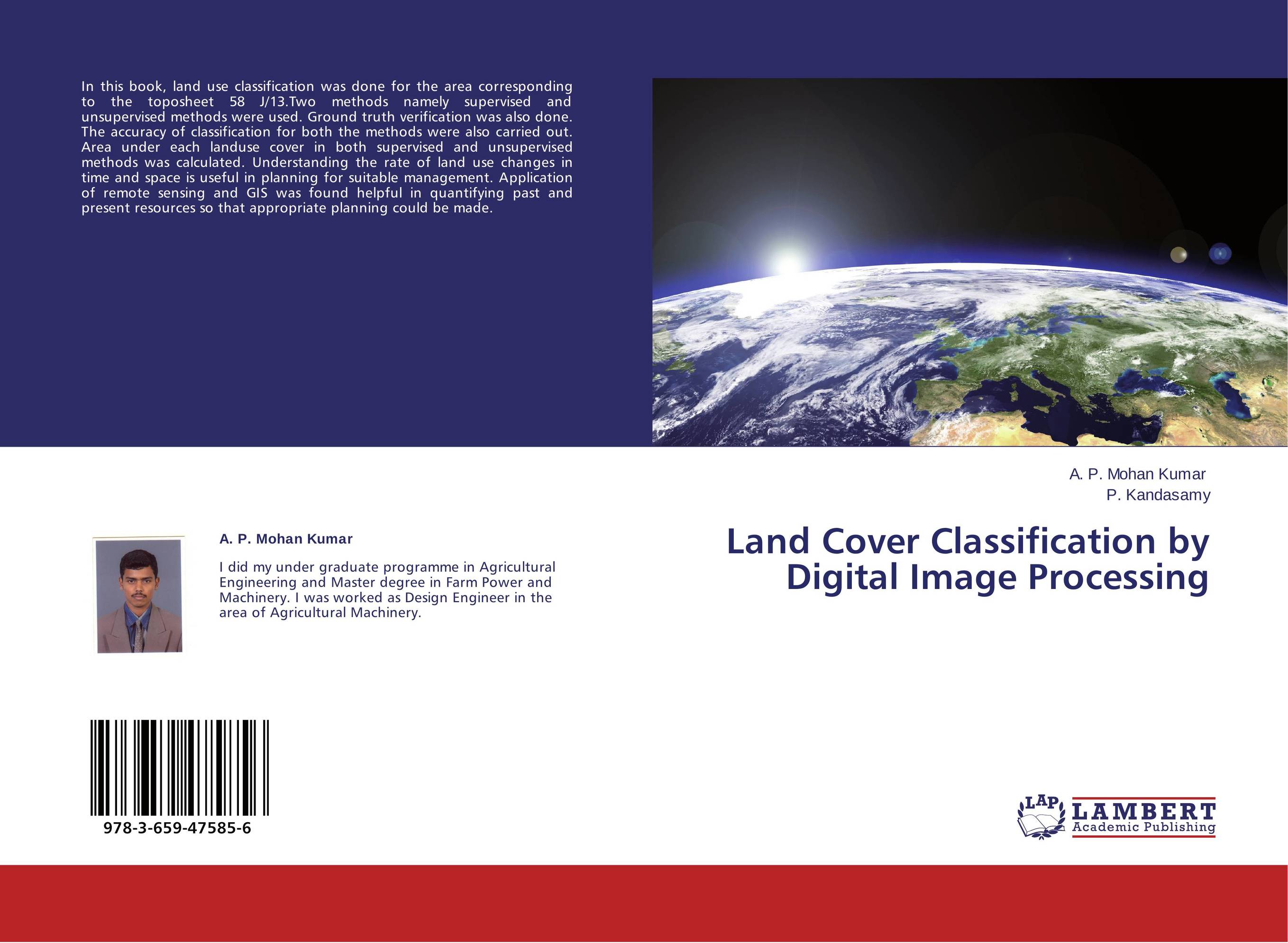
Land Cover Classification by Digital Image Processing.

В наличии
| Местонахождение: Алматы | Состояние экземпляра: новый |

Бумажная
версия
версия
Автор: A. P. Mohan Kumar and P. Kandasamy
ISBN: 9783659475856
Год издания: 2013
Формат книги: 60×90/16 (145×215 мм)
Количество страниц: 64
Издательство: LAP LAMBERT Academic Publishing
Цена: 23350 тг
Положить в корзину
Позиции в рубрикаторе
Отрасли экономики:Код товара: 127734
| Способы доставки в город Алматы * комплектация (срок до отгрузки) не более 2 рабочих дней |
| Самовывоз из города Алматы (пункты самовывоза партнёра CDEK) |
| Курьерская доставка CDEK из города Москва |
| Доставка Почтой России из города Москва |
Аннотация: In this book, land use classification was done for the area corresponding to the toposheet 58 J/13.Two methods namely supervised and unsupervised methods were used. Ground truth verification was also done. The accuracy of classification for both the methods were also carried out. Area under each landuse cover in both supervised and unsupervised methods was calculated. Understanding the rate of land use changes in time and space is useful in planning for suitable management. Application of remote sensing and GIS was found helpful in quantifying past and present resources so that appropriate planning could be made.
Ключевые слова: Remote sensing, GIS., Land Image classification
Похожие издания
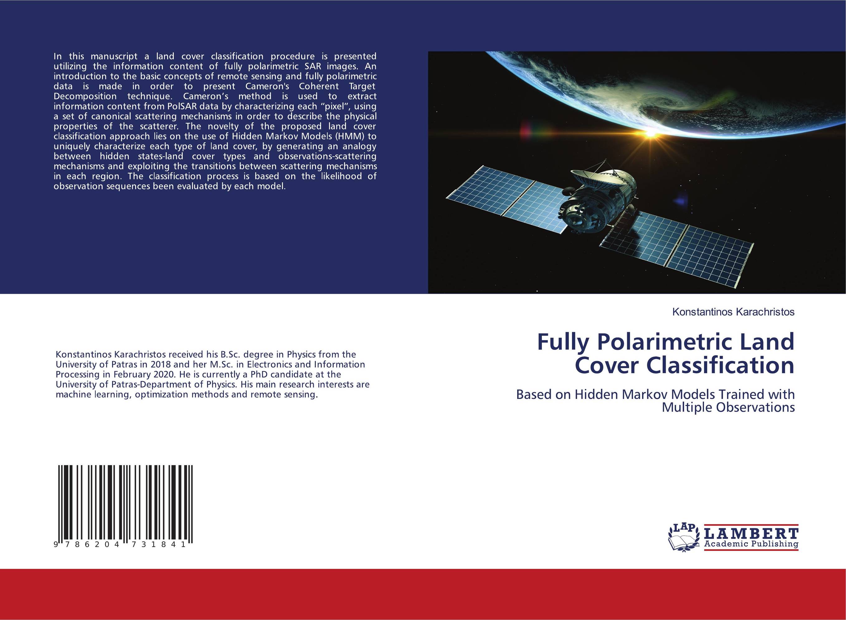
 | Отрасли знаний: Науки о Земле Konstantinos Karachristos Fully Polarimetric Land Cover Classification. Based on Hidden Markov Models Trained with Multiple Observations. 1905 г., 60 стр., мягкий переплет In this manuscript a land cover classification procedure is presented utilizing the information content of fully polarimetric SAR images. An introduction to the basic concepts of remote sensing and fully polarimetric data is made in order to present Cameron's Coherent Target Decomposition technique. Cameron’s method is used to extract... | 25144 тг |
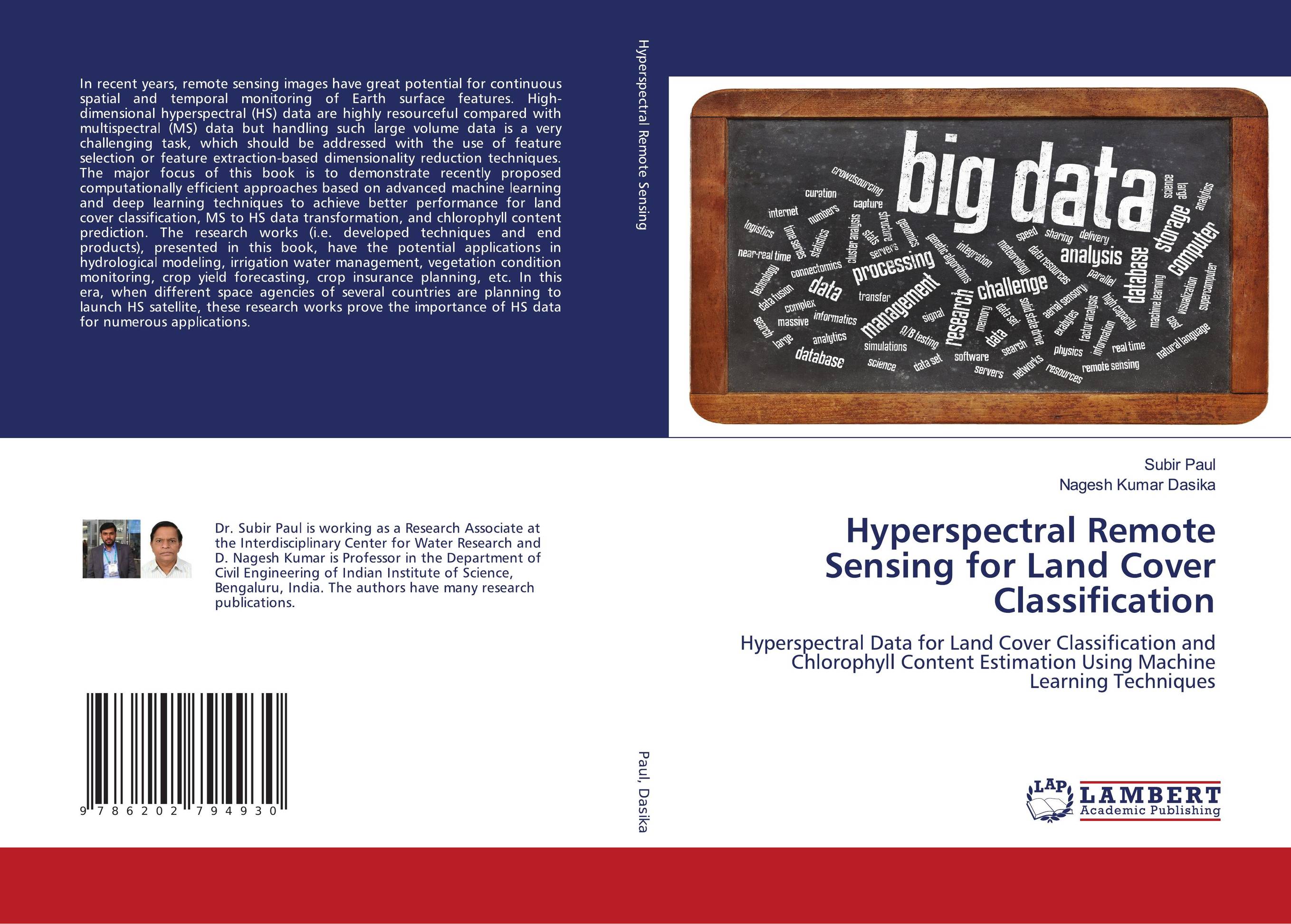
 | Отрасли знаний: Науки о Земле Subir Paul and Nagesh Kumar Dasika Hyperspectral Remote Sensing for Land Cover Classification. Hyperspectral Data for Land Cover Classification and Chlorophyll Content Estimation Using Machine Learning Techniques. 2020 г., 188 стр., мягкий переплет In recent years, remote sensing images have great potential for continuous spatial and temporal monitoring of Earth surface features. High-dimensional hyperspectral (HS) data are highly resourceful compared with multispectral (MS) data but handling such large volume data is a very challenging task, which should be addressed with the use of feature... | 43243 тг |


