


| Поиск по каталогу |
|
(строгое соответствие)
|
- Профессиональная
- Научно-популярная
- Художественная
- Публицистика
- Детская
- Искусство
- Хобби, семья, дом
- Спорт
- Путеводители
- Блокноты, тетради, открытки
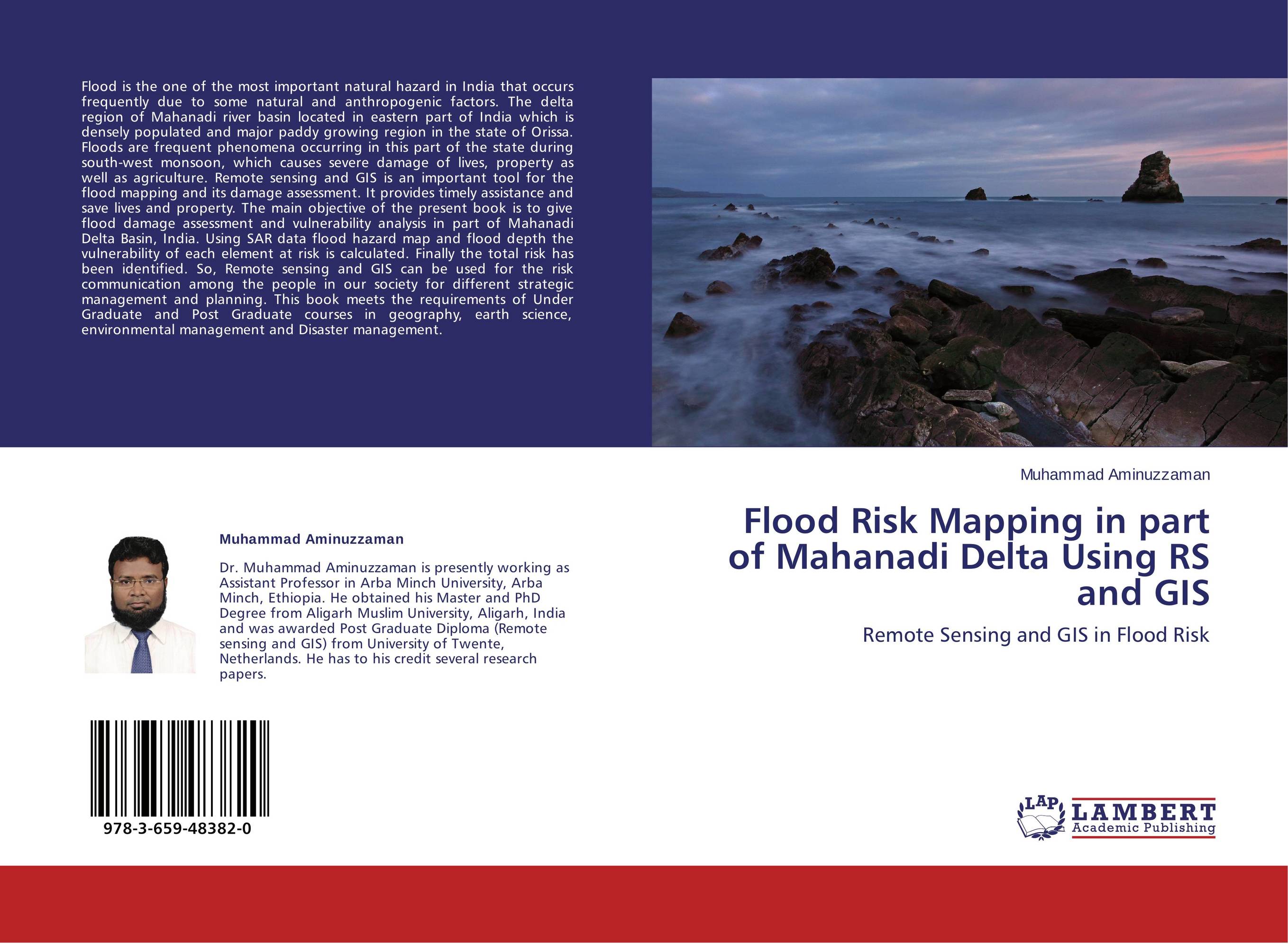
Flood Risk Mapping in part of Mahanadi Delta Using RS and GIS. Remote Sensing and GIS in Flood Risk
В наличии
| Местонахождение: Алматы | Состояние экземпляра: новый |

Бумажная
версия
версия
Автор: Muhammad Aminuzzaman
ISBN: 9783659483820
Год издания: 2013
Формат книги: 60×90/16 (145×215 мм)
Количество страниц: 60
Издательство: LAP LAMBERT Academic Publishing
Цена: 23208 тг
Положить в корзину
| Способы доставки в город Алматы * комплектация (срок до отгрузки) не более 2 рабочих дней |
| Самовывоз из города Алматы (пункты самовывоза партнёра CDEK) |
| Курьерская доставка CDEK из города Москва |
| Доставка Почтой России из города Москва |
Аннотация: Flood is the one of the most important natural hazard in India that occurs frequently due to some natural and anthropogenic factors. The delta region of Mahanadi river basin located in eastern part of India which is densely populated and major paddy growing region in the state of Orissa. Floods are frequent phenomena occurring in this part of the state during south-west monsoon, which causes severe damage of lives, property as well as agriculture. Remote sensing and GIS is an important tool for the flood mapping and its damage assessment. It provides timely assistance and save lives and property. The main objective of the present book is to give flood damage assessment and vulnerability analysis in part of Mahanadi Delta Basin, India. Using SAR data flood hazard map and flood depth the vulnerability of each element at risk is calculated. Finally the total risk has been identified. So, Remote sensing and GIS can be used for the risk communication among the people in our society for different strategic management and planning. This book meets the requirements of Under Graduate and Post Graduate courses in geography, earth science, environmental management and Disaster management.
Ключевые слова: Flood mapping, Remote Sensing and GIS, Risk assessment and Damage Assessment
Похожие издания
 | Отрасли знаний: Естественные науки -> Биология Ludovic Ngu,Barthel?my Ndongo and Mathias Fru Fonteh Flood risk Mapping. A guide for the elaboration of a flood risk map in an urbanised drainage basin. 2018 г., 116 стр., мягкий переплет Disasters are as old as human history but the dramatic increase and the damage caused by them in the recent past have become a cause of national and international concern. However, the poor suffer most from environmental disasters and are more vulnerable and less resilient to fluctuating climate because they live in areas that are at high risk to... | 32457 тг |
 | Отрасли знаний: Науки о Земле Efstratios Vasilakos Flood Risk Mapping. . 2017 г., 64 стр., мягкий переплет GIS are a valuable tool for flood mapping and generally flood planning. The automation in data capture with GPS combined with a GIS can deliver accurate results in a non-time-consuming manner. The purpose of this project was to determine the possibility of a flood in the area of King George’s field in Strathblane and specially to find out if the... | 21414 тг |