


| Поиск по каталогу |
|
(строгое соответствие)
|
- Профессиональная
- Научно-популярная
- Художественная
- Публицистика
- Детская
- Искусство
- Хобби, семья, дом
- Спорт
- Путеводители
- Блокноты, тетради, открытки
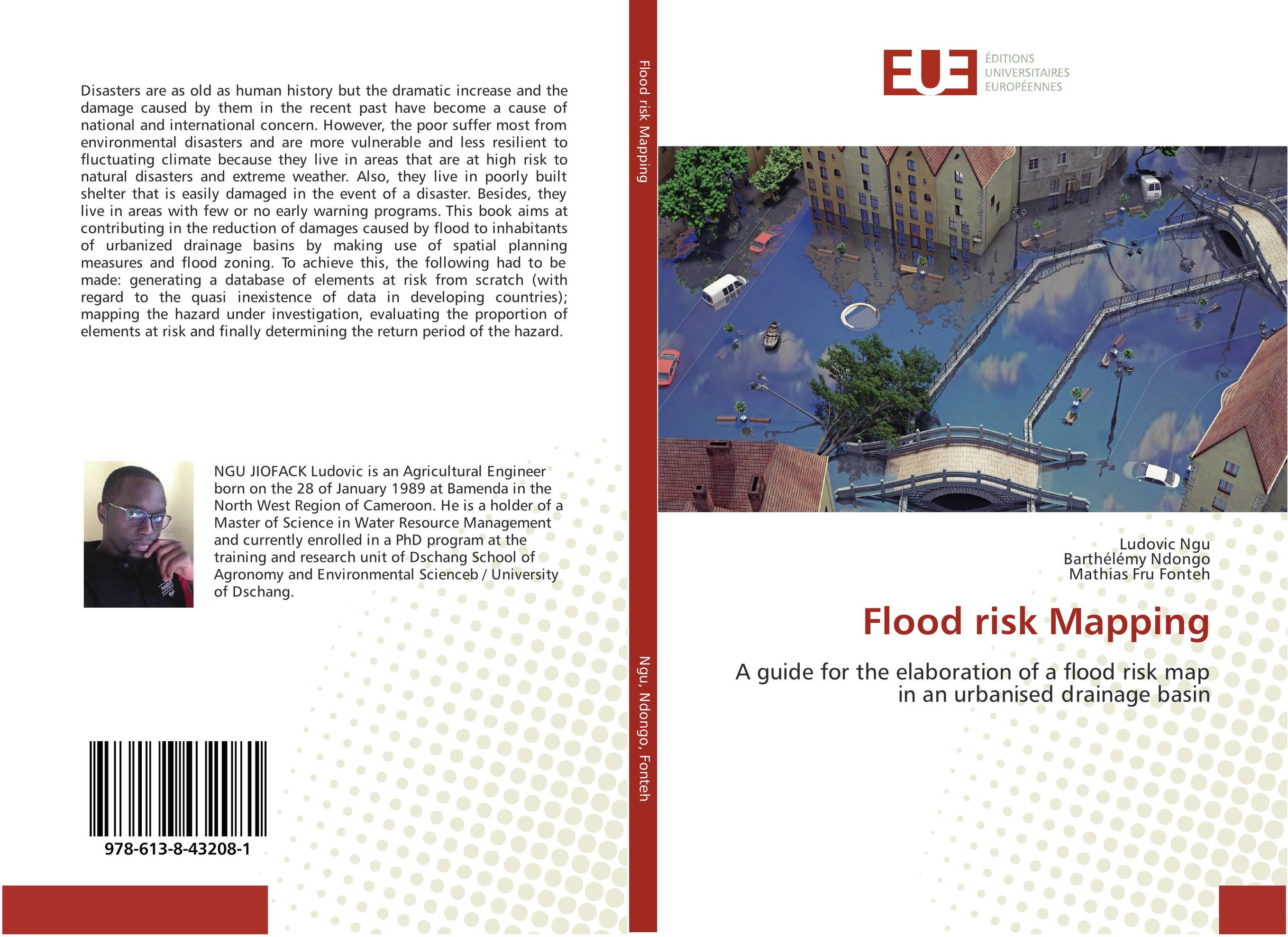
Flood risk Mapping. A guide for the elaboration of a flood risk map in an urbanised drainage basin
В наличии
| Местонахождение: Алматы | Состояние экземпляра: новый |

Бумажная
версия
версия
Автор: Ludovic Ngu,Barthel?my Ndongo and Mathias Fru Fonteh
ISBN: 9786138432081
Год издания: 2018
Формат книги: 60×90/16 (145×215 мм)
Количество страниц: 116
Издательство: ?ditions universitaires europ?ennes
Цена: 32457 тг
Положить в корзину
| Способы доставки в город Алматы * комплектация (срок до отгрузки) не более 2 рабочих дней |
| Самовывоз из города Алматы (пункты самовывоза партнёра CDEK) |
| Курьерская доставка CDEK из города Москва |
| Доставка Почтой России из города Москва |
Аннотация: Disasters are as old as human history but the dramatic increase and the damage caused by them in the recent past have become a cause of national and international concern. However, the poor suffer most from environmental disasters and are more vulnerable and less resilient to fluctuating climate because they live in areas that are at high risk to natural disasters and extreme weather. Also, they live in poorly built shelter that is easily damaged in the event of a disaster. Besides, they live in areas with few or no early warning programs. This book aims at contributing in the reduction of damages caused by flood to inhabitants of urbanized drainage basins by making use of spatial planning measures and flood zoning. To achieve this, the following had to be made: generating a database of elements at risk from scratch (with regard to the quasi inexistence of data in developing countries); mapping the hazard under investigation, evaluating the proportion of elements at risk and finally determining the return period of the hazard.
Ключевые слова: Floods, Mapping units, Ilwis, global mapper, Element at risk
Похожие издания
 | Отрасли знаний: Науки о Земле Efstratios Vasilakos Flood Risk Mapping. . 2017 г., 64 стр., мягкий переплет GIS are a valuable tool for flood mapping and generally flood planning. The automation in data capture with GPS combined with a GIS can deliver accurate results in a non-time-consuming manner. The purpose of this project was to determine the possibility of a flood in the area of King George’s field in Strathblane and specially to find out if the... | 21414 тг |
 | Отрасли знаний: Науки о Земле -> География Muhammad Aminuzzaman Flood Risk Mapping in part of Mahanadi Delta Using RS and GIS. Remote Sensing and GIS in Flood Risk. 2013 г., 60 стр., мягкий переплет Flood is the one of the most important natural hazard in India that occurs frequently due to some natural and anthropogenic factors. The delta region of Mahanadi river basin located in eastern part of India which is densely populated and major paddy growing region in the state of Orissa. Floods are frequent phenomena occurring in this part of the... | 23208 тг |