| Поиск по каталогу |
|
(строгое соответствие)
|
- Профессиональная
- Научно-популярная
- Художественная
- Публицистика
- Детская
- Искусство
- Хобби, семья, дом
- Спорт
- Путеводители
- Блокноты, тетради, открытки
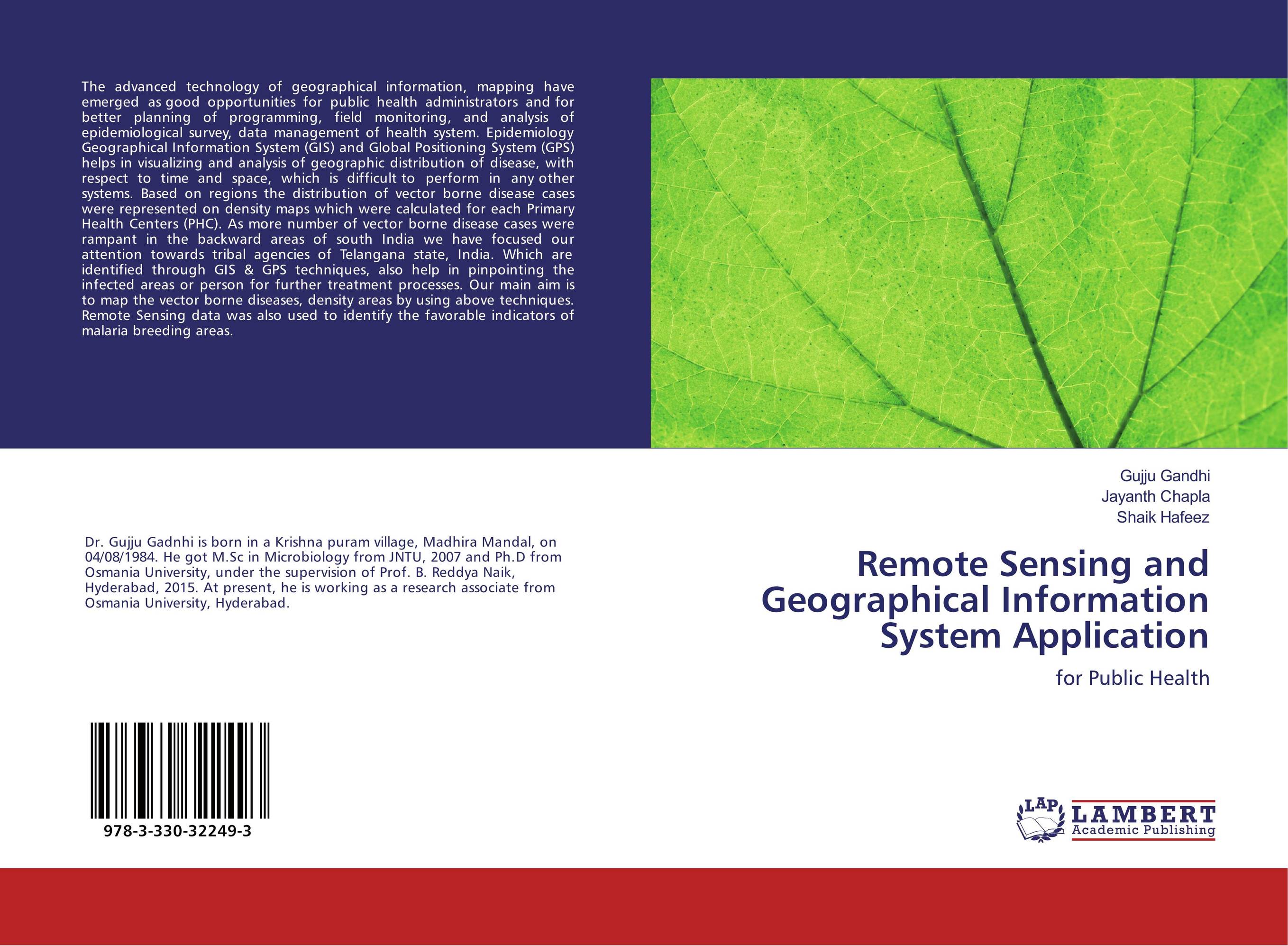
Remote Sensing and Geographical Information System Application. For Public Health

В наличии
| Местонахождение: Алматы | Состояние экземпляра: новый |

Бумажная
версия
версия
Автор: Gujju Gandhi,Jayanth Chapla and Shaik Hafeez
ISBN: 9783330322493
Год издания: 2017
Формат книги: 60×90/16 (145×215 мм)
Количество страниц: 52
Издательство: LAP LAMBERT Academic Publishing
Цена: 20988 тг
Положить в корзину
Позиции в рубрикаторе
Отрасли знаний:Код товара: 176421
| Способы доставки в город Алматы * комплектация (срок до отгрузки) не более 2 рабочих дней |
| Самовывоз из города Алматы (пункты самовывоза партнёра CDEK) |
| Курьерская доставка CDEK из города Москва |
| Доставка Почтой России из города Москва |
Аннотация: The advanced technology of geographical information, mapping have emerged as good opportunities for public health administrators and for better planning of programming, field monitoring, and analysis of epidemiological survey, data management of health system. Epidemiology Geographical Information System (GIS) and Global Positioning System (GPS) helps in visualizing and analysis of geographic distribution of disease, with respect to time and space, which is difficult to perform in any other systems. Based on regions the distribution of vector borne disease cases were represented on density maps which were calculated for each Primary Health Centers (PHC). As more number of vector borne disease cases were rampant in the backward areas of south India we have focused our attention towards tribal agencies of Telangana state, India. Which are identified through GIS & GPS techniques, also help in pinpointing the infected areas or person for further treatment processes. Our main aim is to map the vector borne diseases, density areas by using above techniques. Remote Sensing data was also used to identify the favorable indicators of malaria breeding areas.
Ключевые слова: GIS, GPS, Mapping, Remote sensing, VBD
Похожие издания
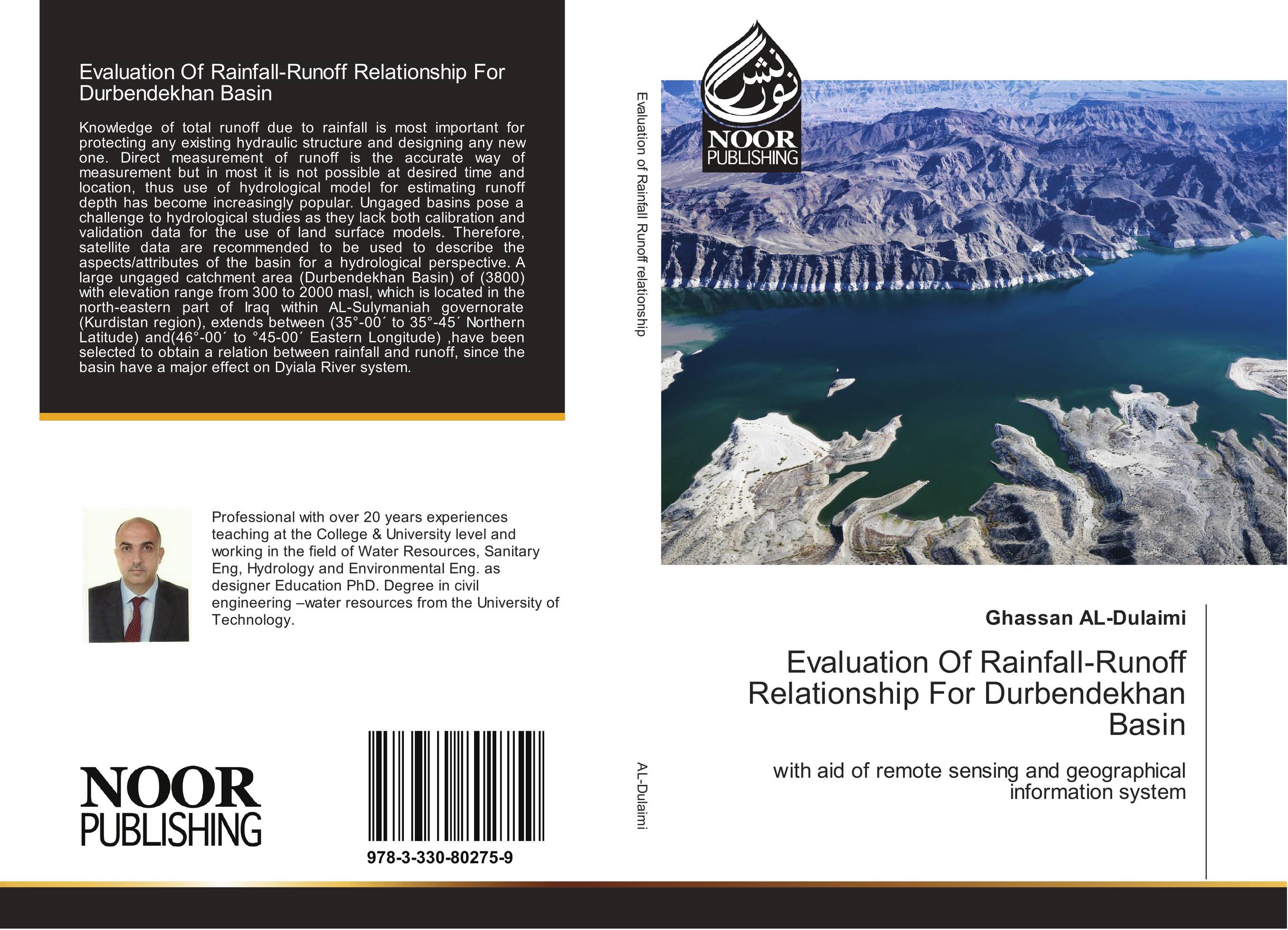
 | Отрасли знаний: Общественные науки -> Экономика Ghassan AL-Dulaimi Evaluation Of Rainfall-Runoff Relationship For Durbendekhan Basin. With aid of remote sensing and geographical information system. 2017 г., 140 стр., мягкий переплет Knowledge of total runoff due to rainfall is most important for protecting any existing hydraulic structure and designing any new one. Direct measurement of runoff is the accurate way of measurement but in most it is not possible at desired time and location, thus use of hydrological model for estimating runoff depth has become increasingly... | 33794 тг |


