| Поиск по каталогу |
|
(строгое соответствие)
|
- Профессиональная
- Научно-популярная
- Художественная
- Публицистика
- Детская
- Искусство
- Хобби, семья, дом
- Спорт
- Путеводители
- Блокноты, тетради, открытки
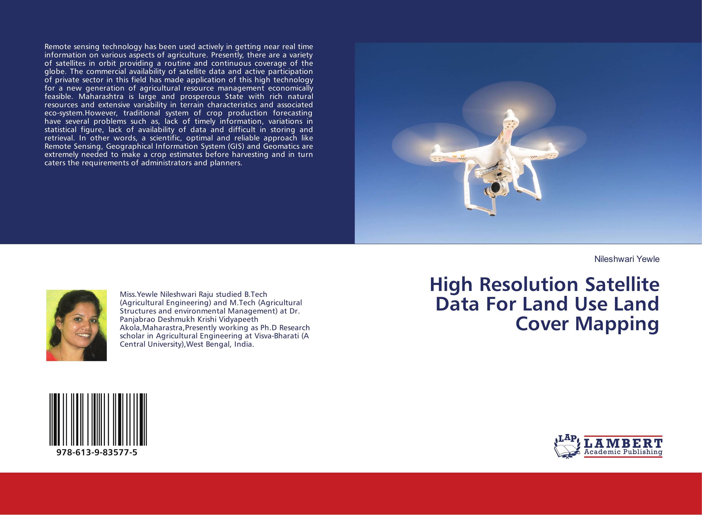
High Resolution Satellite Data For Land Use Land Cover Mapping.

В наличии
| Местонахождение: Алматы | Состояние экземпляра: новый |

Бумажная
версия
версия
Автор: Nileshwari Yewle
ISBN: 9786139835775
Год издания: 2018
Формат книги: 60×90/16 (145×215 мм)
Количество страниц: 52
Издательство: LAP LAMBERT Academic Publishing
Цена: 22584 тг
Положить в корзину
Позиции в рубрикаторе
Отрасли экономики:Код товара: 207029
| Способы доставки в город Алматы * комплектация (срок до отгрузки) не более 2 рабочих дней |
| Самовывоз из города Алматы (пункты самовывоза партнёра CDEK) |
| Курьерская доставка CDEK из города Москва |
| Доставка Почтой России из города Москва |
Аннотация: Remote sensing technology has been used actively in getting near real time information on various aspects of agriculture. Presently, there are a variety of satellites in orbit providing a routine and continuous coverage of the globe. The commercial availability of satellite data and active participation of private sector in this field has made application of this high technology for a new generation of agricultural resource management economically feasible. Maharashtra is large and prosperous State with rich natural resources and extensive variability in terrain characteristics and associated eco-system.However, traditional system of crop production forecasting have several problems such as, lack of timely information, variations in statistical figure, lack of availability of data and difficult in storing and retrieval. In other words, a scientific, optimal and reliable approach like Remote Sensing, Geographical Information System (GIS) and Geomatics are extremely needed to make a crop estimates before harvesting and in turn caters the requirements of administrators and planners.
Ключевые слова: land use, satellite data, Software, Agricultural Remote Sensing, land Mapping
Похожие издания
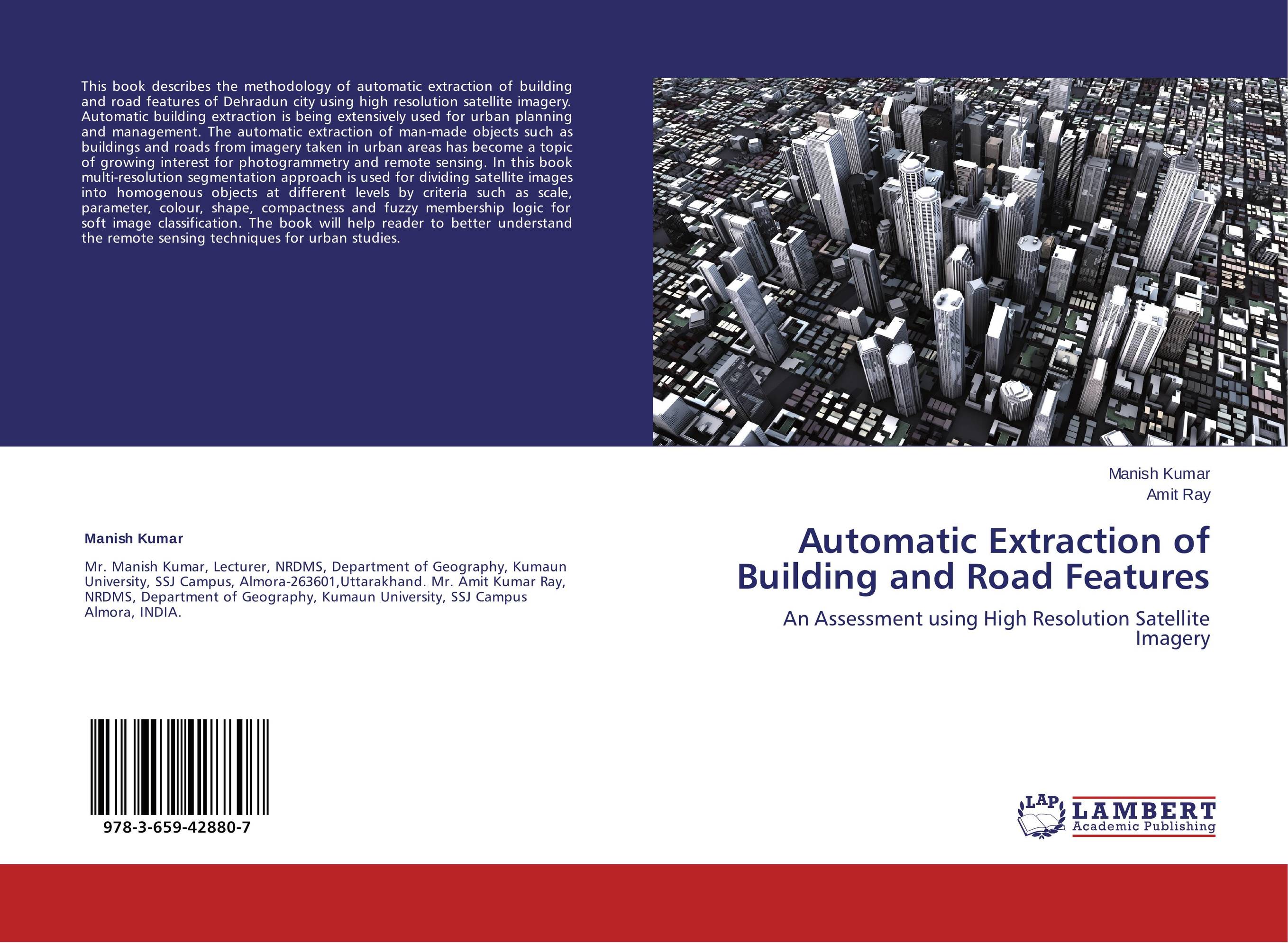
 | Отрасли знаний: Науки о Земле -> География Manish Kumar and Amit Ray Automatic Extraction of Building and Road Features. An Assessment using High Resolution Satellite Imagery. 2013 г., 68 стр., мягкий переплет This book describes the methodology of automatic extraction of building and road features of Dehradun city using high resolution satellite imagery. Automatic building extraction is being extensively used for urban planning and management. The automatic extraction of man-made objects such as buildings and roads from imagery taken in urban areas has... | 25266 тг |


