


| Поиск по каталогу |
|
(строгое соответствие)
|
- Профессиональная
- Научно-популярная
- Художественная
- Публицистика
- Детская
- Искусство
- Хобби, семья, дом
- Спорт
- Путеводители
- Блокноты, тетради, открытки
Soil Erosion Risk Assessment Using Rusle Model. To estimate the annual soil loss from Yemeles watershed
В наличии
| Местонахождение: Алматы | Состояние экземпляра: новый |

Бумажная
версия
версия
Автор: Nigus Kelkay and Nigus Kelkay
ISBN: 9786200304360
Год издания: 2019
Формат книги: 60×90/16 (145×215 мм)
Количество страниц: 76
Издательство: LAP LAMBERT Academic Publishing
Цена: 23777 тг
Положить в корзину
| Способы доставки в город Алматы * комплектация (срок до отгрузки) не более 2 рабочих дней |
| Самовывоз из города Алматы (пункты самовывоза партнёра CDEK) |
| Курьерская доставка CDEK из города Москва |
| Доставка Почтой России из города Москва |
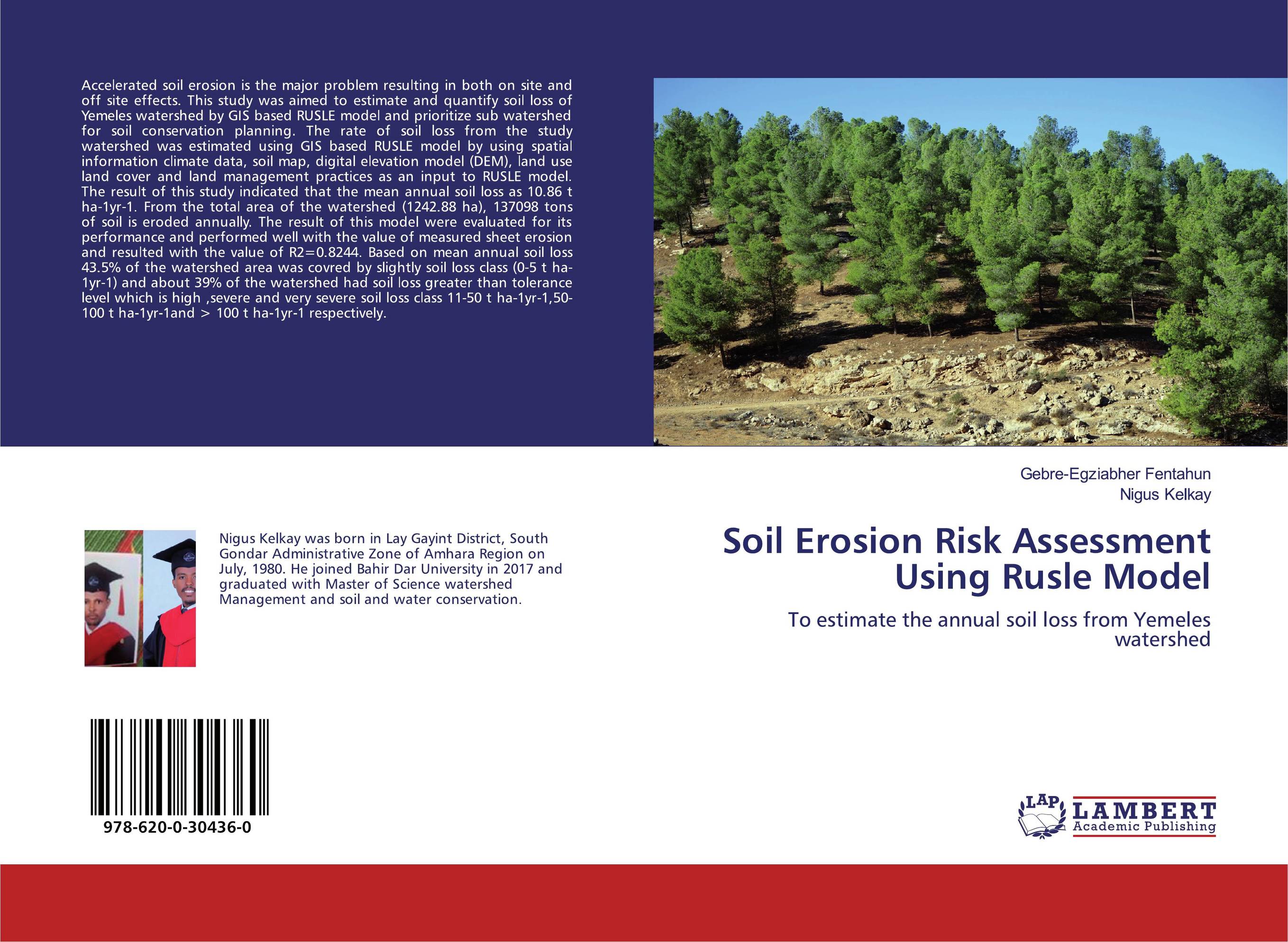
Аннотация: Accelerated soil erosion is the major problem resulting in both on site and off site effects. This study was aimed to estimate and quantify soil loss of Yemeles watershed by GIS based RUSLE model and prioritize sub watershed for soil conservation planning. The rate of soil loss from the study watershed was estimated using GIS based RUSLE model by using spatial information climate data, soil map, digital elevation model (DEM), land use land cover and land management practices as an input to RUSLE model. The result of this study indicated that the mean annual soil loss as 10.86 t ha-1yr-1. From the total area of the watershed (1242.88 ha), 137098 tons of soil is eroded annually. The result of this model were evaluated for its performance and performed well with the value of measured sheet erosion and resulted with the value of R2=0.8244. Based on mean annual soil loss 43.5% of the watershed area was covred by slightly soil loss class (0-5 t ha-1yr-1) and about 39% of the watershed had soil loss greater than tolerance level which is high ,severe and very severe soil loss class 11-50 t ha-1yr-1,50-100 t ha-1yr-1and > 100 t ha-1yr-1 respectively.
Ключевые слова: soil
Похожие издания
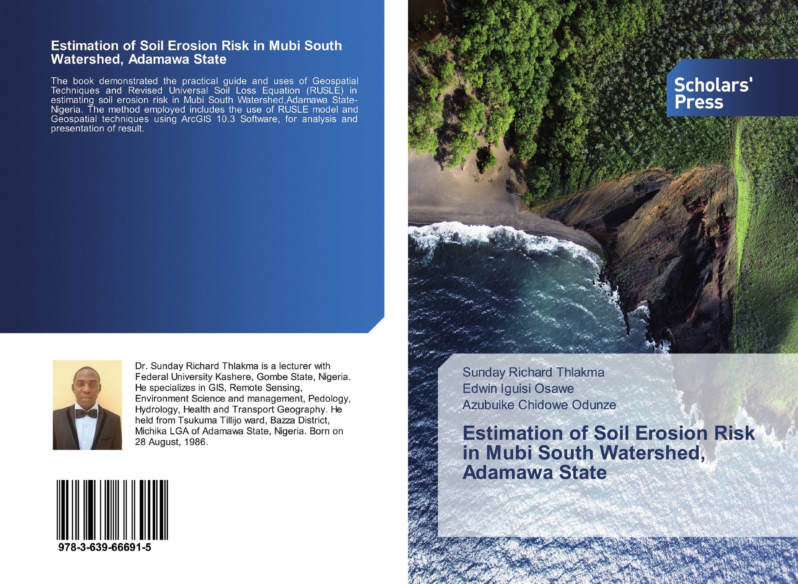 | Отрасли знаний: Науки о Земле Sunday Richard Thlakma,Edwin Iguisi Osawe and Azubuike Chidowe Odunze Estimation of Soil Erosion Risk in Mubi South Watershed, Adamawa State. . 2019 г., 64 стр., мягкий переплет The book demonstrated the practical guide and uses of Geospatial Techniques and Revised Universal Soil Loss Equation (RUSLE) in estimating soil erosion risk in Mubi South Watershed,Adamawa State-Nigeria. The method employed includes the use of RUSLE model and Geospatial techniques using ArcGIS 10.3 Software, for analysis and presentation of result. | 26255 тг |
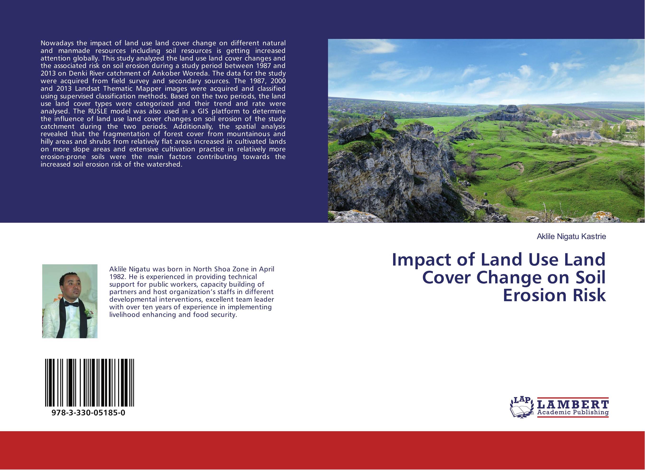 | Отрасли знаний: Естественные науки -> Экология Aklile Nigatu Kastrie Impact of Land Use Land Cover Change on Soil Erosion Risk. . 2017 г., 88 стр., мягкий переплет Nowadays the impact of land use land cover change on different natural and manmade resources including soil resources is getting increased attention globally. This study analyzed the land use land cover changes and the associated risk on soil erosion during a study period between 1987 and 2013 on Denki River catchment of Ankober Woreda. The data... | 16460 тг |