


| Поиск по каталогу |
|
(строгое соответствие)
|
- Профессиональная
- Научно-популярная
- Художественная
- Публицистика
- Детская
- Искусство
- Хобби, семья, дом
- Спорт
- Путеводители
- Блокноты, тетради, открытки
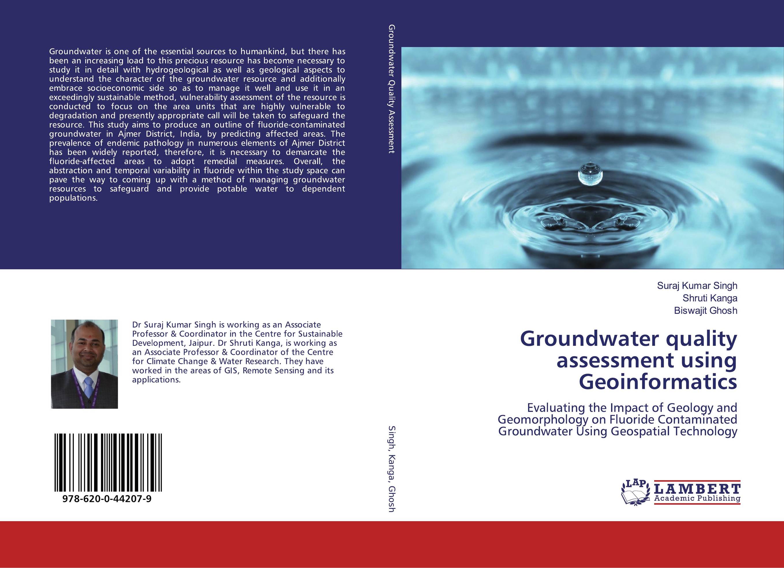
Groundwater quality assessment using Geoinformatics. Evaluating the Impact of Geology and Geomorphology on Fluoride Contaminated Groundwater Using Geospatial Technology
В наличии
| Местонахождение: Алматы | Состояние экземпляра: новый |

Бумажная
версия
версия
Автор: Suraj Kumar Singh,Shruti Kanga and Biswajit Ghosh
ISBN: 9786200442079
Год издания: 2019
Формат книги: 60×90/16 (145×215 мм)
Количество страниц: 124
Издательство: LAP LAMBERT Academic Publishing
Цена: 35181 тг
Положить в корзину
| Способы доставки в город Алматы * комплектация (срок до отгрузки) не более 2 рабочих дней |
| Самовывоз из города Алматы (пункты самовывоза партнёра CDEK) |
| Курьерская доставка CDEK из города Москва |
| Доставка Почтой России из города Москва |
Аннотация: Groundwater is one of the essential sources to humankind, but there has been an increasing load to this precious resource has become necessary to study it in detail with hydrogeological as well as geological aspects to understand the character of the groundwater resource and additionally embrace socioeconomic side so as to manage it well and use it in an exceedingly sustainable method, vulnerability assessment of the resource is conducted to focus on the area units that are highly vulnerable to degradation and presently appropriate call will be taken to safeguard the resource. This study aims to produce an outline of fluoride-contaminated groundwater in Ajmer District, India, by predicting affected areas. The prevalence of endemic pathology in numerous elements of Ajmer District has been widely reported, therefore, it is necessary to demarcate the fluoride-affected areas to adopt remedial measures. Overall, the abstraction and temporal variability in fluoride within the study space can pave the way to coming up with a method of managing groundwater resources to safeguard and provide potable water to dependent populations.
Ключевые слова: Remote sensing, quality, Groundwater, Geology, geomorphology, Sensor
Похожие издания
 | Отрасли знаний: Естественные науки -> Биология Adeolu Aderemi The Impacts of Municipal Landfill Leachate on Groundwater Quality. Assessment of Groundwater Contamination and Leachate Acute Toxicity. 2012 г., 64 стр., мягкий переплет Municipal solid waste disposal is a global concern, most especially in a developing nation like Nigeria where landfills are better categorized as open dumps, sited for convenience and usually involve the pitching of garbage into pre-existing holes. These open pits are located near residential housing, posing a threat to public health and the... | 29932 тг |
 | Отрасли знаний: Науки о Земле -> Геология и геофизика Ramakrishna Reddy Machireddy and sunitha vangala Delineation of Groundwater Potential Zones & Application. Of Water quality index method for Groundwater quality Assessment in parts of Y.S.R District, A.P, India. 2019 г., 64 стр., мягкий переплет An integrated survey based on satellite image interpretation corroborated with limited field checks were carried out with a view to delineate the ground water potential in parts of Y.S.R District district, Andhra Pradesh, South India. The interpretation of Remote Sensing data & GIS in conjunction with conventional data and sufficient ground... | 25124 тг |
 | Отрасли знаний: Науки о Земле -> Геология и геофизика Md. Bodrud-Doza Multivariate Statistics and GIS for Groundwater Quality Assessment. . 2016 г., 80 стр., мягкий переплет Multivariate statistical techniques involving factor analysis and hierarchical cluster analysis were performed on 45 groundwater samples from Dhaka district to extract principal processes controlling the water chemistry. The principle components obtained from factor analysis indicated that the parameters responsible for groundwater quality... | 23578 тг |