


| Поиск по каталогу |
|
(строгое соответствие)
|
- Профессиональная
- Научно-популярная
- Художественная
- Публицистика
- Детская
- Искусство
- Хобби, семья, дом
- Спорт
- Путеводители
- Блокноты, тетради, открытки
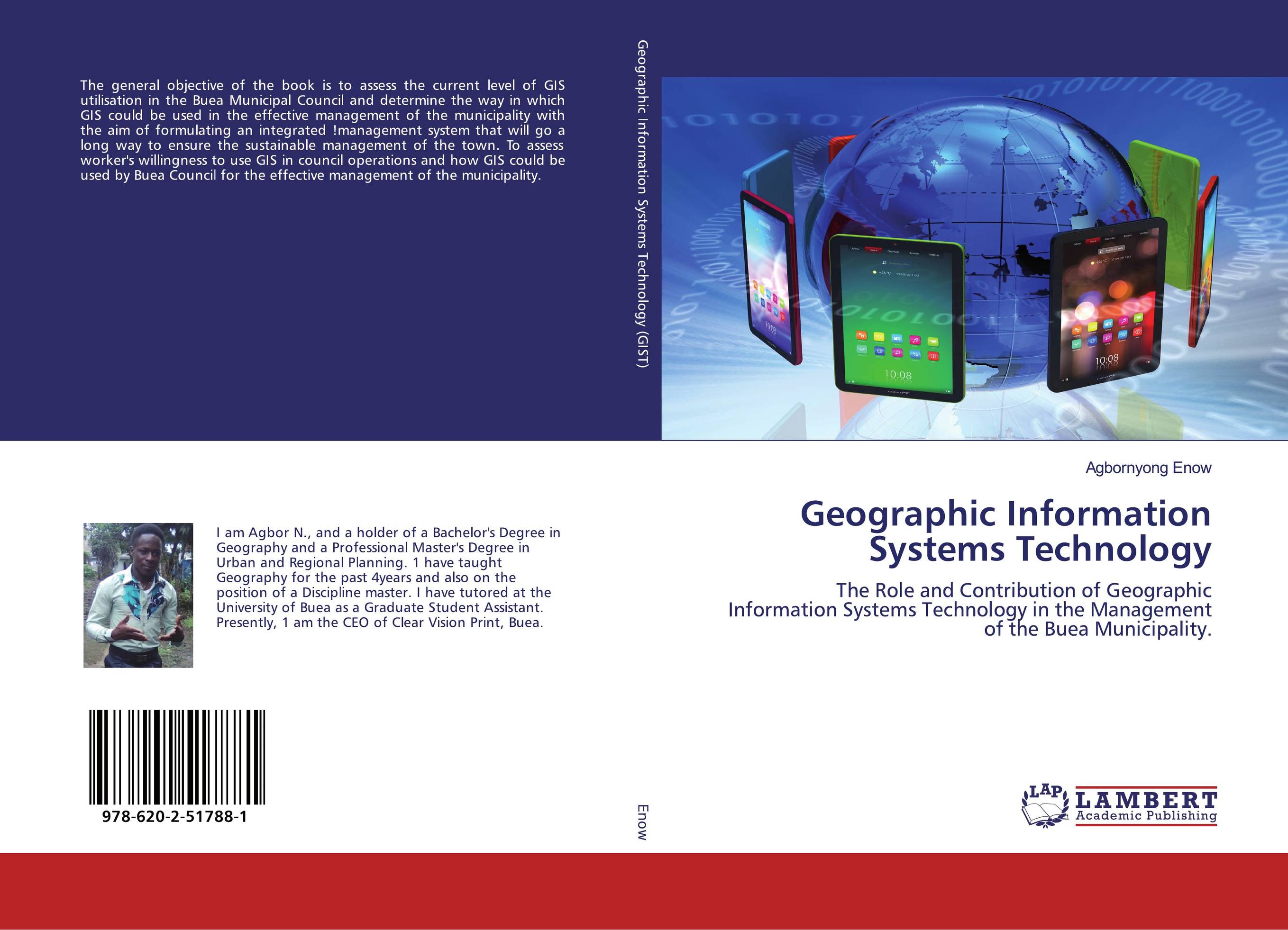
Geographic Information Systems Technology. The Role and Contribution of Geographic Information Systems Technology in the Management of the Buea Municipality.
В наличии
| Местонахождение: Алматы | Состояние экземпляра: новый |

Бумажная
версия
версия
Автор: Agbornyong Enow
ISBN: 9786202517881
Год издания: 2020
Формат книги: 60×90/16 (145×215 мм)
Количество страниц: 140
Издательство: LAP LAMBERT Academic Publishing
Цена: 36698 тг
Положить в корзину
| Способы доставки в город Алматы * комплектация (срок до отгрузки) не более 2 рабочих дней |
| Самовывоз из города Алматы (пункты самовывоза партнёра CDEK) |
| Курьерская доставка CDEK из города Москва |
| Доставка Почтой России из города Москва |
Аннотация: The general objective of the book is to assess the current level of GIS utilisation in the Buea Municipal Council and determine the way in which GIS could be used in the effective management of the municipality with the aim of formulating an integrated !management system that will go a long way to ensure the sustainable management of the town. To assess worker's willingness to use GIS in council operations and how GIS could be used by Buea Council for the effective management of the municipality.
Ключевые слова: GIS, Urban Management, town planning, Buea Municipality
Похожие издания
 | Отрасли знаний: Точные науки -> Математика -> Геометрия Sahar I. M. Abd Elrahman Capabilities of Geographic Information Systems in Creating Databases. Take Advantages of the Capabilities of GIS in Creating Databases in Detail from the Beginning, Step by Step. 1905 г., 120 стр., мягкий переплет This book deals in detail with how to take advantage of Geographic Information Systems in creating a database (the creation of a database for an educational institution was taken as an example, represented by the College of Technology, Sudan University of Science and Technology) from the beginning, step by step using the ArcGIS 10.3 program, as... | 32599 тг |
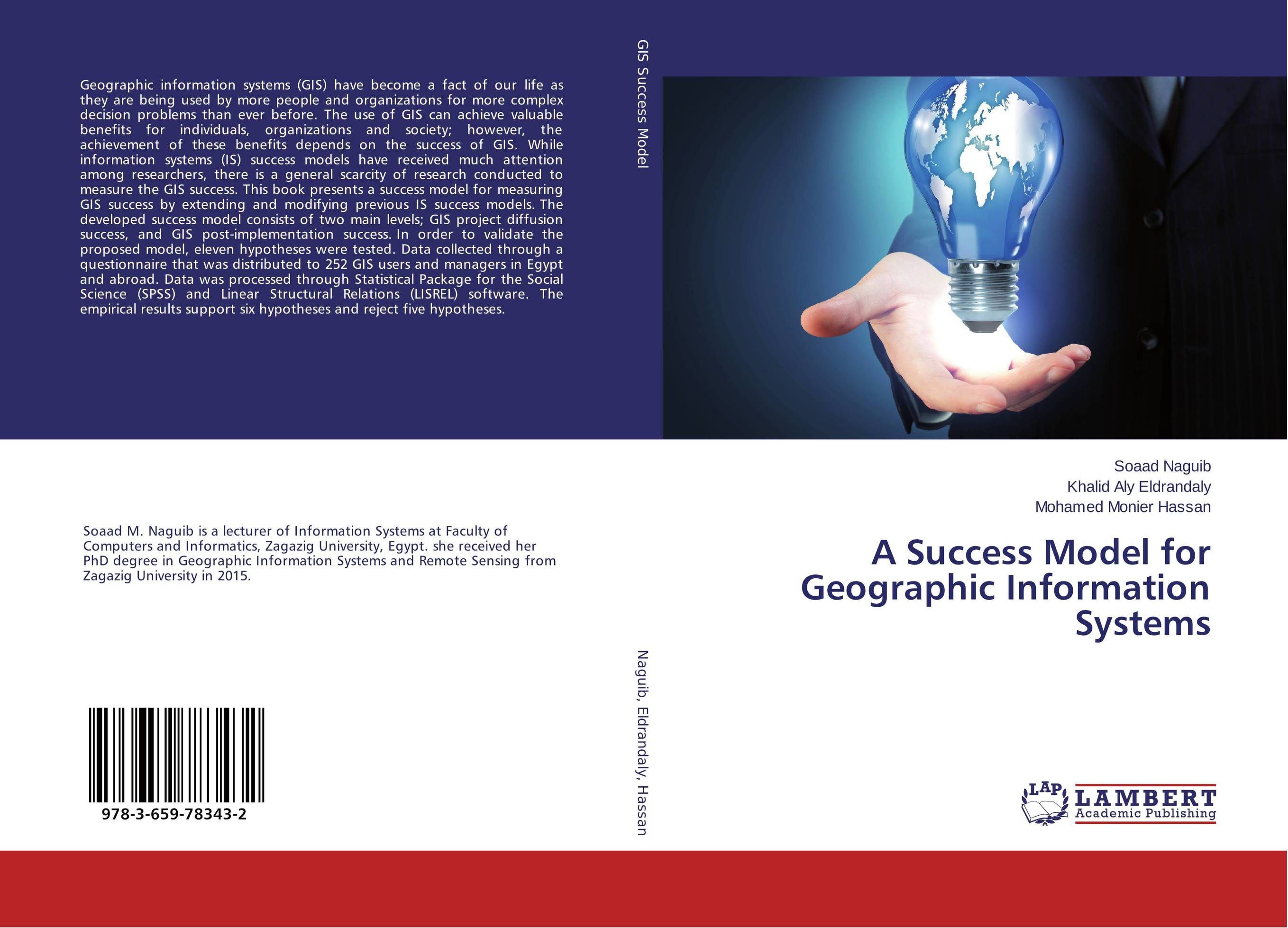 | Отрасли знаний: Точные науки -> Информатика и программирование -> Информационные технологии Soaad Naguib,Khalid Aly Eldrandaly and Mohamed Monier Hassan A Success Model for Geographic Information Systems. . 2015 г., 152 стр., мягкий переплет Geographic information systems (GIS) have become a fact of our life as they are being used by more people and organizations for more complex decision problems than ever before. The use of GIS can achieve valuable benefits for individuals, organizations and society; however, the achievement of these benefits depends on the success of GIS. While... | 37125 тг |
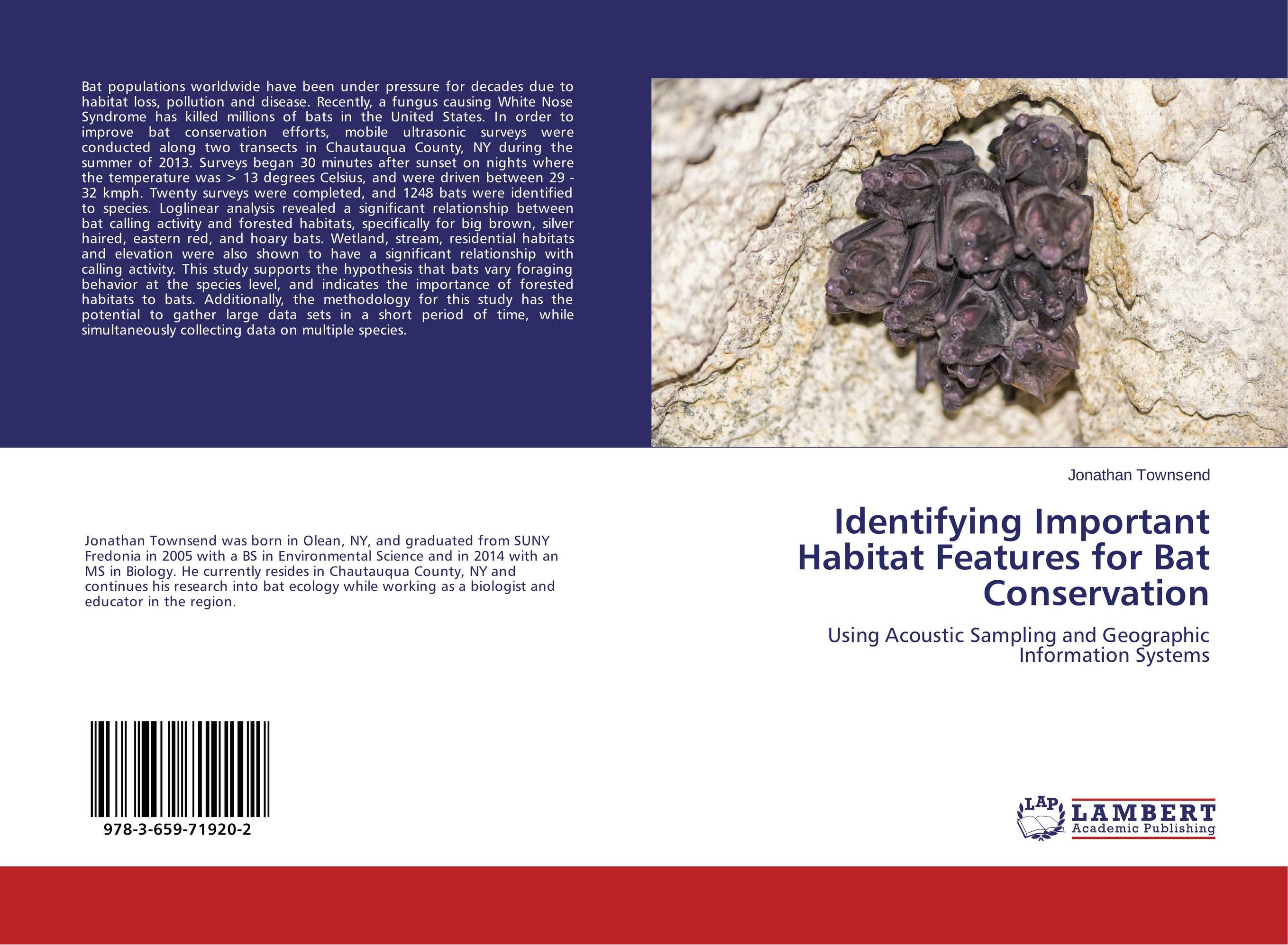 | Отрасли знаний: Естественные науки -> Экология Jonathan Townsend Identifying Important Habitat Features for Bat Conservation. Using Acoustic Sampling and Geographic Information Systems. 2015 г., 56 стр., мягкий переплет Bat populations worldwide have been under pressure for decades due to habitat loss, pollution and disease. Recently, a fungus causing White Nose Syndrome has killed millions of bats in the United States. In order to improve bat conservation efforts, mobile ultrasonic surveys were conducted along two transects in Chautauqua County, NY during the... | 15323 тг |
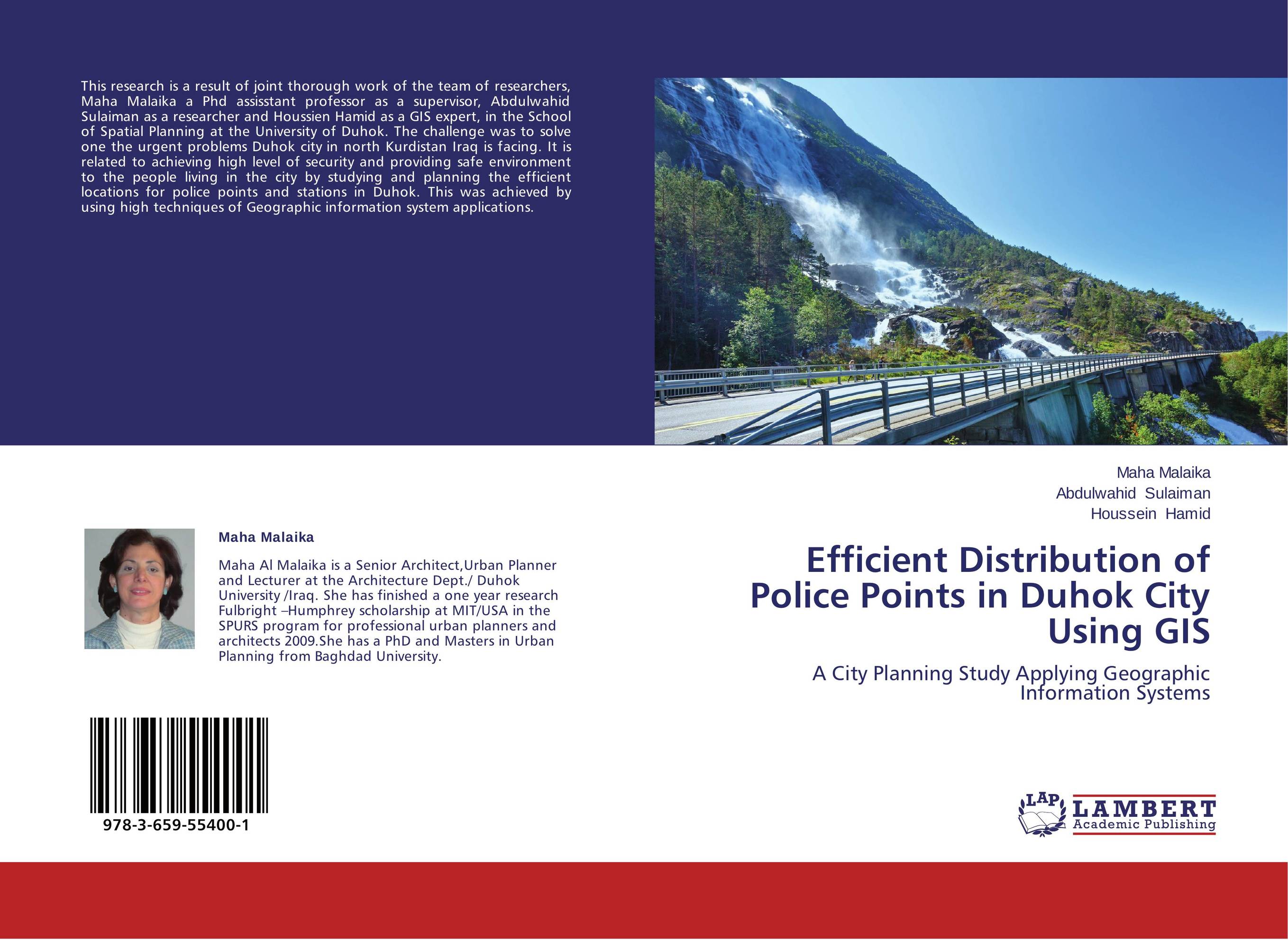 | Отрасли знаний: Науки о Земле Maha Malaika,Abdulwahid Sulaiman and Houssein Hamid Efficient Distribution of Police Points in Duhok City Using GIS. A City Planning Study Applying Geographic Information Systems. 2014 г., 84 стр., мягкий переплет This research is a result of joint thorough work of the team of researchers, Maha Malaika a Phd assisstant professor as a supervisor, Abdulwahid Sulaiman as a researcher and Houssien Hamid as a GIS expert, in the School of Spatial Planning at the University of Duhok. The challenge was to solve one the urgent problems Duhok city in north Kurdistan... | 18737 тг |
 | Отрасли знаний: Точные науки -> Информатика и программирование Asma Thamir Ibraheem,Afrah Mekki Daham and Zina Adil Najeeb Architectural Geographic Information Systems. . 2014 г., 120 стр., мягкий переплет Digital close range photogrammetry has been successfully applied (for measurement, producing a large scale maps and 3D modeling. in many applications such as archaeology, architecture, industrial measurement and animations. One of the important current developments in digital close range photogrammetric systems is the full automation of the... | 21952 тг |
 | Отрасли экономики: Промышленность в целом Judith Mbau,Moses Nyangito and Charles Gachene Land use and land cover change analysis. Linking local communities to land use and land cover changes using Participatory Geographic Information Systems(PGIS). 2013 г., 96 стр., мягкий переплет Land use and land cover changes are important processes that influence the dynamics of human-wildlife conflicts. Effective management of human-wildlife conflicts requires the participation of local communities and other stakeholders. However, local communities need to identify and understand resource use change and their role in the process, so as... | 29327 тг |