| Поиск по каталогу |
|
(строгое соответствие)
|
- Профессиональная
- Научно-популярная
- Художественная
- Публицистика
- Детская
- Искусство
- Хобби, семья, дом
- Спорт
- Путеводители
- Блокноты, тетради, открытки
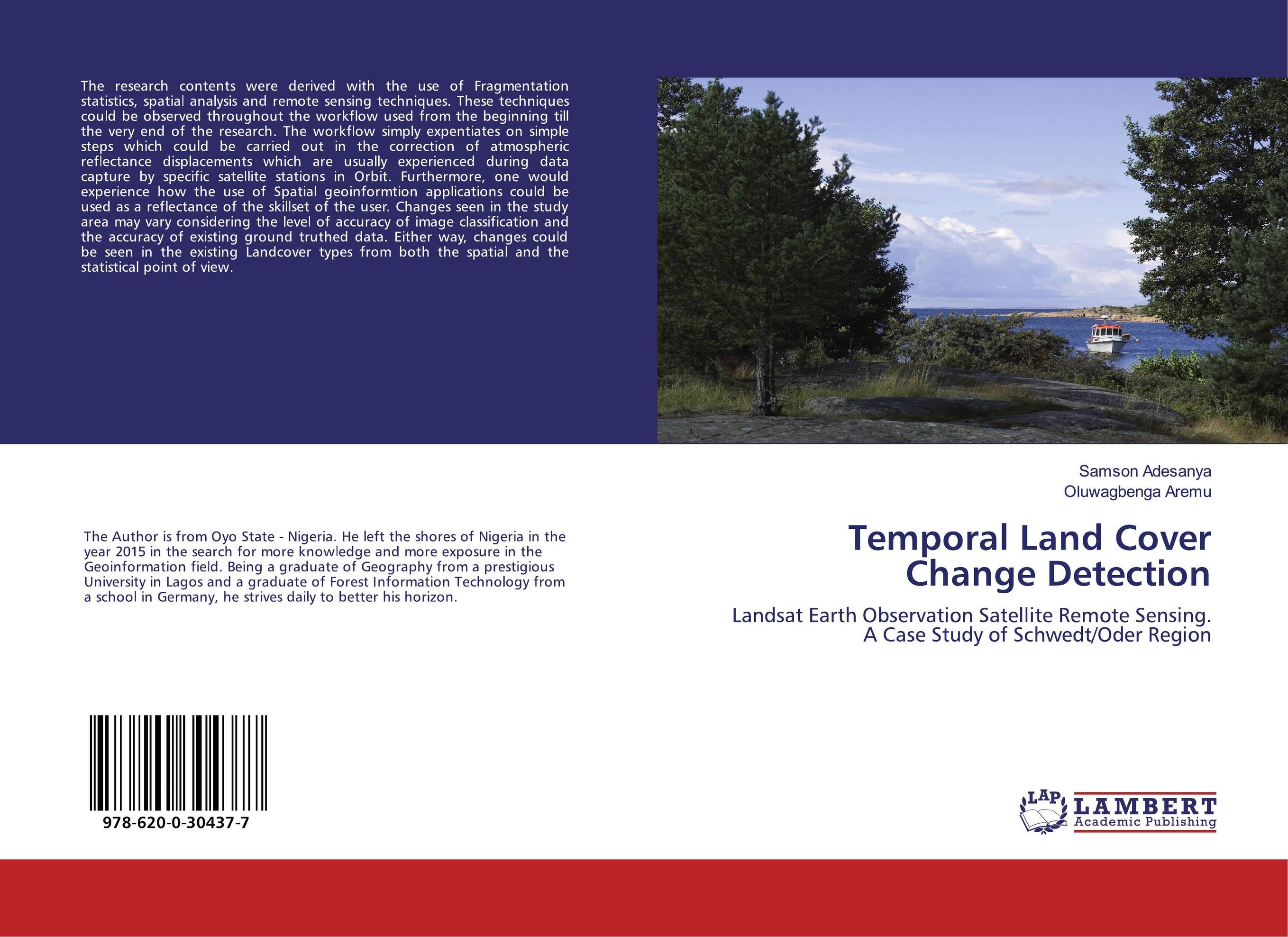
Temporal Land Cover Change Detection. Landsat Earth Observation Satellite Remote Sensing. A Case Study of Schwedt/Oder Region

В наличии
| Местонахождение: Алматы | Состояние экземпляра: новый |

Бумажная
версия
версия
Автор: Oluwagbenga Aremu and Oluwagbenga Aremu
ISBN: 9786200304377
Год издания: 2020
Формат книги: 60×90/16 (145×215 мм)
Количество страниц: 104
Издательство: LAP LAMBERT Academic Publishing
Цена: 34471 тг
Положить в корзину
| Способы доставки в город Алматы * комплектация (срок до отгрузки) не более 2 рабочих дней |
| Самовывоз из города Алматы (пункты самовывоза партнёра CDEK) |
| Курьерская доставка CDEK из города Москва |
| Доставка Почтой России из города Москва |
Аннотация: The research contents were derived with the use of Fragmentation statistics, spatial analysis and remote sensing techniques. These techniques could be observed throughout the workflow used from the beginning till the very end of the research. The workflow simply expentiates on simple steps which could be carried out in the correction of atmospheric reflectance displacements which are usually experienced during data capture by specific satellite stations in Orbit. Furthermore, one would experience how the use of Spatial geoinformtion applications could be used as a reflectance of the skillset of the user. Changes seen in the study area may vary considering the level of accuracy of image classification and the accuracy of existing ground truthed data. Either way, changes could be seen in the existing Landcover types from both the spatial and the statistical point of view.
Ключевые слова: temporal scales, FRAGSTATS, normalised differential vegetation index, ground truthing, Land cover, corine landcover numenclature 2006, Broad-leaved forest, Landsat, Coniferous forest, Electromagnetic spectrum, Green urban fabric, agriculture, Non-unique land cover classes, Semi-Automatic classification plugin, Top of Atmosphere reflectance, Pastures, water, Aerosol Noise Types, Histogram of Reflectance, Subtraction of Noise from Individual Spectral Bands, Radiometric Correction, Image classification accuracy assessment, Dissolving the Edges, land cover change detection, DOS Atmospheric correction
Похожие издания
 | Abdelrahman Elsehsah Spatio-Temporal Land Cover Changes Monitoring. Using Remotely Sensed Techniques in Riyadh Region, KSA. 2024 г., 116 стр., мягкий переплет Land Use and Land Cover (LULC) dynamics in Riyadh over a decade were comprehensively analyzed using the Google Earth Engine (GEE) platform. By harnessing the Landsat 8 Image collection and night-time light image collection from May to August for the years 2013 and 2023, we were able to generate insightful datasets capturing the changing landscape... | 38068 тг |


