| Поиск по каталогу |
|
(строгое соответствие)
|
- Профессиональная
- Научно-популярная
- Художественная
- Публицистика
- Детская
- Искусство
- Хобби, семья, дом
- Спорт
- Путеводители
- Блокноты, тетради, открытки
Remote Sensing and GIS Technology. Estimation of Runoff and Soil loss
В наличии
| Местонахождение: Алматы | Состояние экземпляра: новый |

Бумажная
версия
версия
Автор: Pratibha Katara,Deeepesh Machiwal and Arun Bhagat
ISBN: 9783659364495
Год издания: 2013
Формат книги: 60×90/16 (145×215 мм)
Количество страниц: 96
Издательство: LAP LAMBERT Academic Publishing
Цена: 31069 тг
Положить в корзину
Позиции в рубрикаторе
Отрасли экономики:Код товара: 119941
| Способы доставки в город Алматы * комплектация (срок до отгрузки) не более 2 рабочих дней |
| Самовывоз из города Алматы (пункты самовывоза партнёра CDEK) |
| Курьерская доставка CDEK из города Москва |
| Доставка Почтой России из города Москва |
Аннотация: The study aimed at estimating runoff and sediment yield by using remote sensing and GIS techniques in catchment. Thematic layers of soil, topographic elevation, slope, land use/land cover (LULC) were generated in GIS platform by using existing soil map, SRTM DEM, and IRS-P4 satellite imagery. The GIS-based soil map was used to develop hydrologic soil group (HSG) map of the study area. HSG and LULC maps were used to generate curve number (CN) map in the GIS environment. Weighted CN value under antecedent moisture condition (AMC) type I, II and III for catchment was computed based on the GIS-based CN map, which were used to compute annual surface runoff. Furthermore, GIS-based maps of six USLE model factors, R, K, L, S, C and P, were generated. Raster maps of the six USLE factors were multiplied to estimate sediment yield on pixel basis.
Ключевые слова: DEM, SRTM, USLE model, runoff and sediment yield, remote sensing and GIS techniques, SCS-CN method, HSG
Похожие издания
 | Отрасли знаний: Науки о Земле Yohanna Peter and Nuhu H. Tini Revising Township Map Using Remote Sensing and GIS Technology. A Case Study of Mubi Metropolis, Adamawa State, Nigeria. 2017 г., 64 стр., мягкий переплет Contemporary cities, particularly in developing countries, experience an accelerating rate of changes and expansion. Such development has instigated the need for use of a fast technique that could adequately update the map of urban areas. This book demonstrates the application of Remote Sensing and Geographic Information System (GIS) in revising... | 23010 тг |
 | Отрасли знаний: Науки о Земле Sadra Karimzadeh Practical Examples of GIS-Remote Sensing Technology in Earth Sciences. Focused on seismically active country, Iran. 2015 г., 176 стр., мягкий переплет The mapping was started from an ancient era and even now it is developing rapidly which deals with spatial information like the “Where” question. From the Neanderthal to the Human, all were asking same questions like “Where is my cave!? or “Where is the starting point?”. These sorts of questions show that how much the mapping and the... | 46011 тг |
 | Отрасли знаний: Естественные науки -> Биология Kush Kushwah,Bidyalakshmi Phurailatpam and R.J. Rao Biodiversity and Habitat Mapping. Biodiversity Characterization & Habitat Mapping of Kuno Wildlife Sanctuary,India using Remote Sensing & GIS technology. 2014 г., 136 стр., мягкий переплет Kuno Wildlife Sanctuary,M.P., India is the most promising location to re-establish a free ranging population of critically endangered Asiatic Lions from Gir National Park, India where they are highly over-populated. In preparation for reintroduction of Lions, all the human settlements from the Sanctuary area have been relocated and the sanctuary... | 39306 тг |
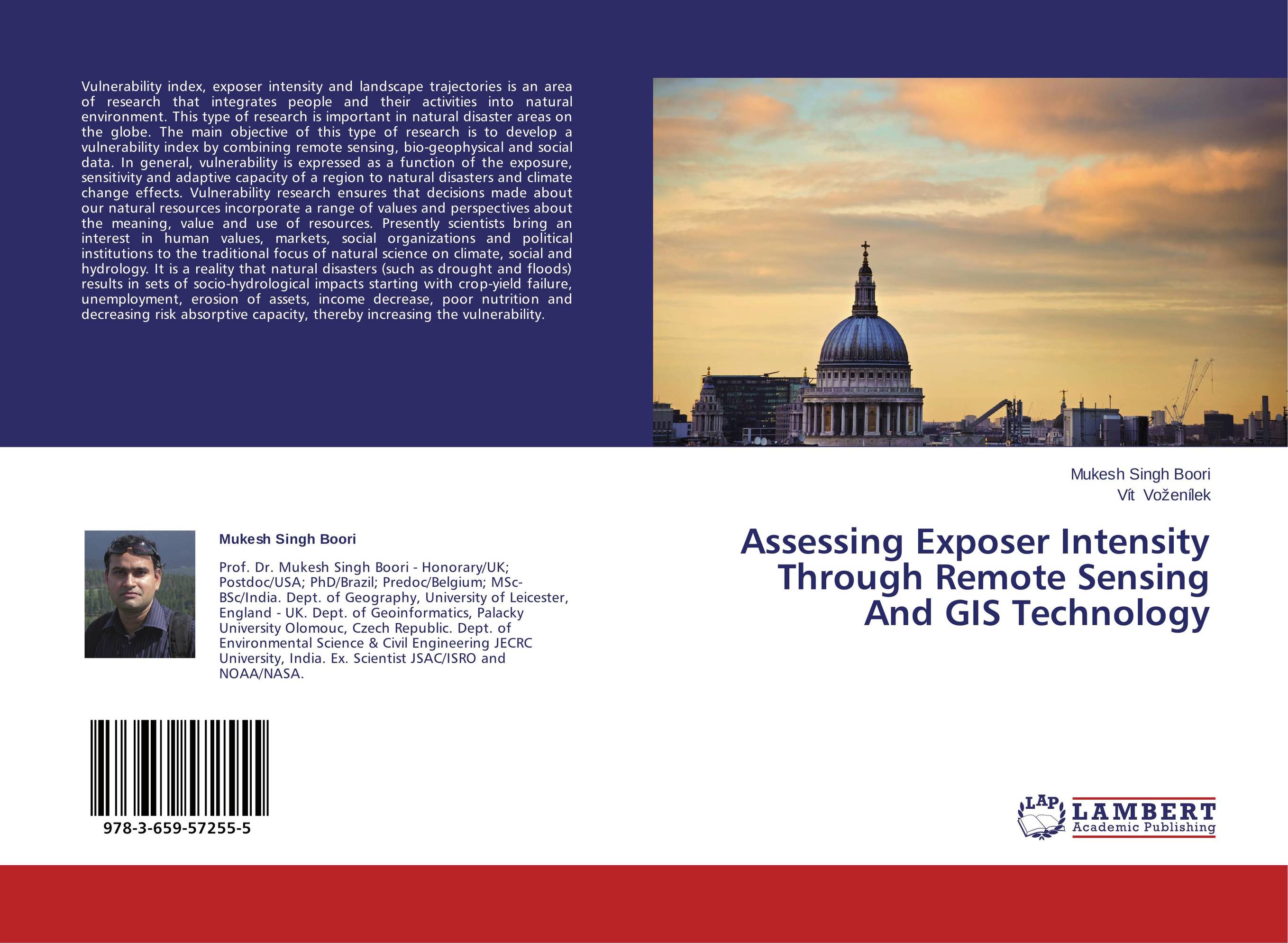 | Отрасли знаний: Науки о Земле Mukesh Singh Boori and V?t Vo?en?lek Assessing Exposer Intensity Through Remote Sensing And GIS Technology. . 2014 г., 68 стр., мягкий переплет Vulnerability index, exposer intensity and landscape trajectories is an area of research that integrates people and their activities into natural environment. This type of research is important in natural disaster areas on the globe. The main objective of this type of research is to develop a vulnerability index by combining remote sensing,... | 25266 тг |
 | Отрасли экономики: Машиностроение -> Авиастроение Yitong Jiang Identifying the Application of Sewage Sludge. An Application of Remote Sensing Technology on Monitoring Soil Amendments. 2013 г., 112 стр., мягкий переплет Application of sewage sludge to agricultural fields is used by farmers to improve the soil conditions physically, chemically, and organically. However, the application has potential risk to public health and the environment, because the heavy metals, nutrients, and pathogens may be included in sewage sludge. The location of all applications of... | 31637 тг |


