


| Поиск по каталогу |
|
(строгое соответствие)
|
- Профессиональная
- Научно-популярная
- Художественная
- Публицистика
- Детская
- Искусство
- Хобби, семья, дом
- Спорт
- Путеводители
- Блокноты, тетради, открытки
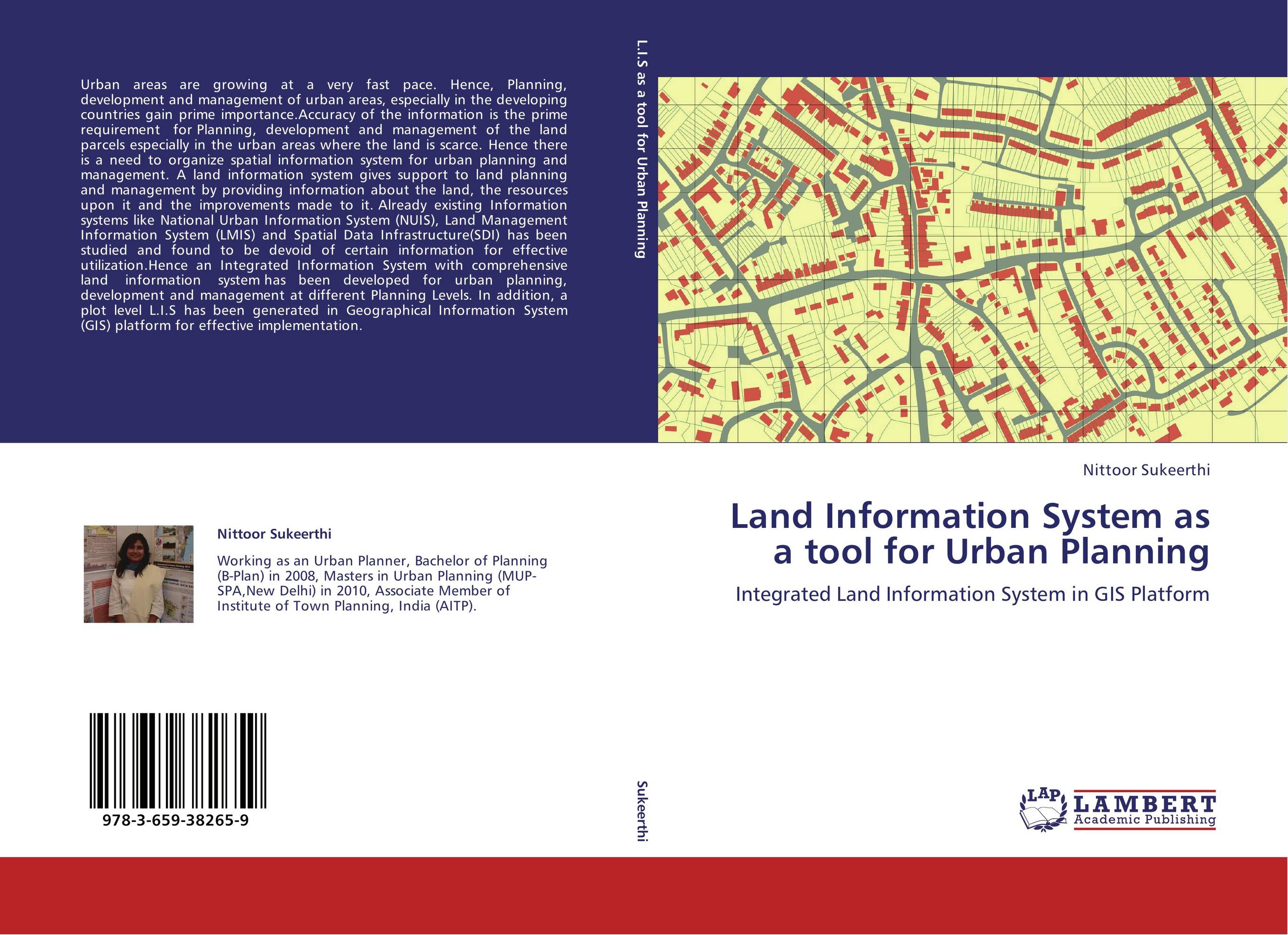
Land Information System as a tool for Urban Planning. Integrated Land Information System in GIS Platform
В наличии
| Местонахождение: Алматы | Состояние экземпляра: новый |

Бумажная
версия
версия
Автор: Nittoor Sukeerthi
ISBN: 9783659382659
Год издания: 2013
Формат книги: 60×90/16 (145×215 мм)
Количество страниц: 112
Издательство: LAP LAMBERT Academic Publishing
Цена: 34755 тг
Положить в корзину
| Способы доставки в город Алматы * комплектация (срок до отгрузки) не более 2 рабочих дней |
| Самовывоз из города Алматы (пункты самовывоза партнёра CDEK) |
| Курьерская доставка CDEK из города Москва |
| Доставка Почтой России из города Москва |
Аннотация: Urban areas are growing at a very fast pace. Hence, Planning, development and management of urban areas, especially in the developing countries gain prime importance.Accuracy of the information is the prime requirement for Planning, development and management of the land parcels especially in the urban areas where the land is scarce. Hence there is a need to organize spatial information system for urban planning and management. A land information system gives support to land planning and management by providing information about the land, the resources upon it and the improvements made to it. Already existing Information systems like National Urban Information System (NUIS), Land Management Information System (LMIS) and Spatial Data Infrastructure(SDI) has been studied and found to be devoid of certain information for effective utilization.Hence an Integrated Information System with comprehensive land information system has been developed for urban planning, development and management at different Planning Levels. In addition, a plot level L.I.S has been generated in Geographical Information System (GIS) platform for effective implementation.
Ключевые слова: urban planning, Land Information System, land related attributes
Похожие издания
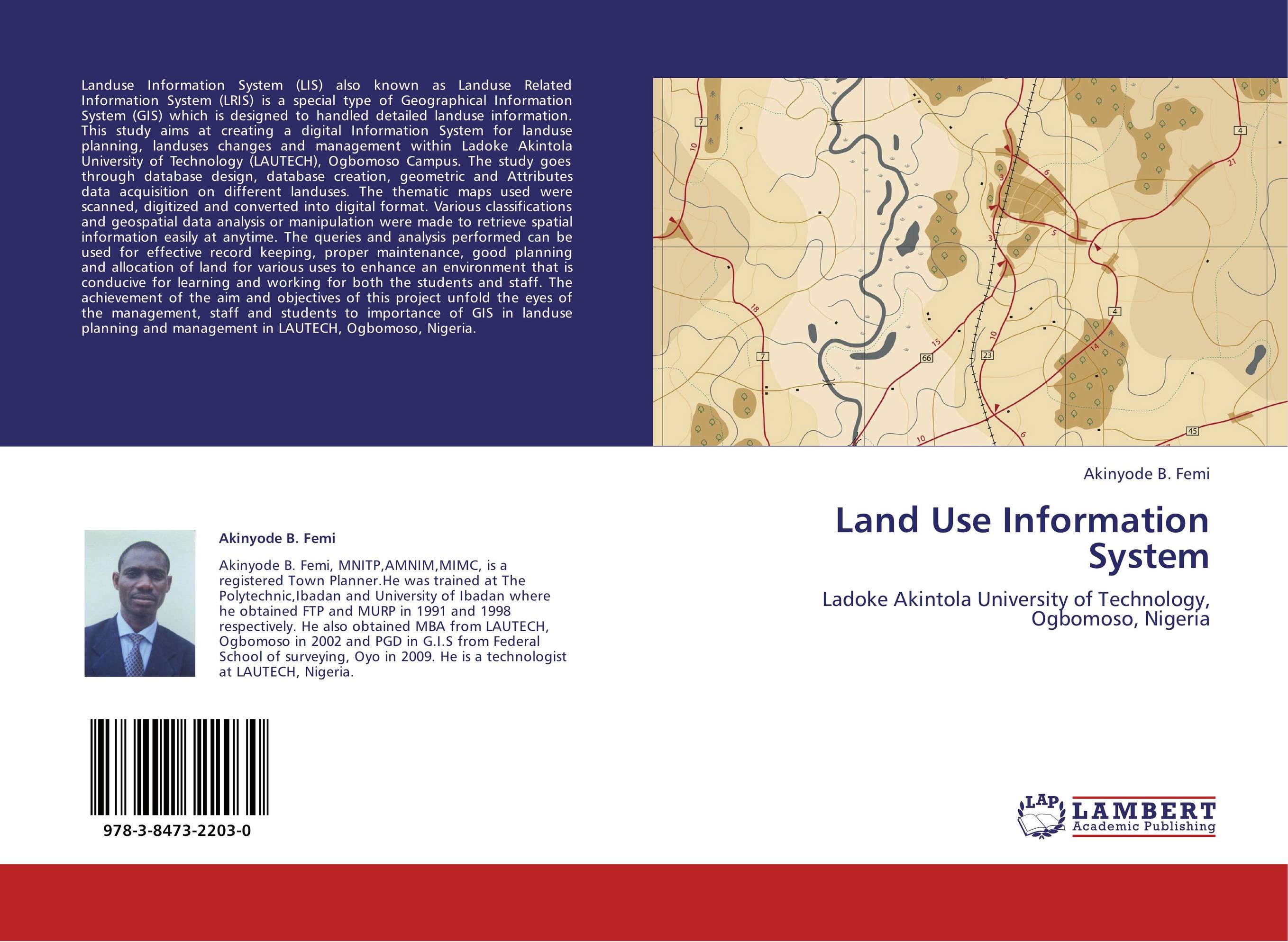 | Отрасли знаний: Точные науки -> Информатика и программирование Akinyode B. Femi Land Use Information System. Ladoke Akintola University of Technology, Ogbomoso, Nigeria. 2012 г., 72 стр., мягкий переплет Landuse Information System (LIS) also known as Landuse Related Information System (LRIS) is a special type of Geographical Information System (GIS) which is designed to handled detailed landuse information. This study aims at creating a digital Information System for landuse planning, landuses changes and management within Ladoke Akintola... | 30216 тг |
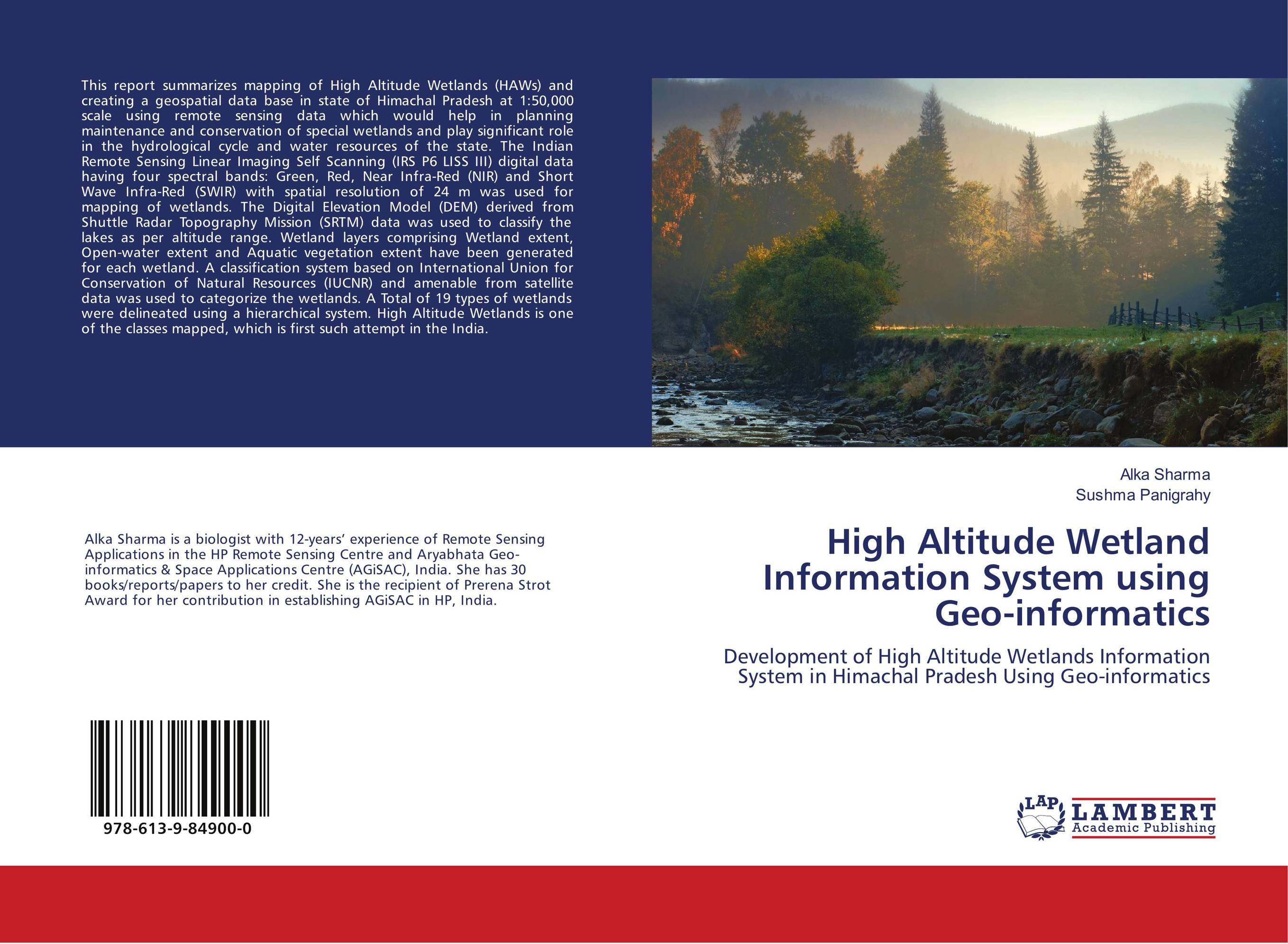 | Отрасли экономики: Машиностроение -> Авиастроение Alka Sharma and Sushma Panigrahy High Altitude Wetland Information System using Geo-informatics. Development of High Altitude Wetlands Information System in Himachal Pradesh Using Geo-informatics. 2018 г., 60 стр., мягкий переплет This report summarizes mapping of High Altitude Wetlands (HAWs) and creating a geospatial data base in state of Himachal Pradesh at 1:50,000 scale using remote sensing data which would help in planning maintenance and conservation of special wetlands and play significant role in the hydrological cycle and water resources of the state. The Indian... | 22868 тг |
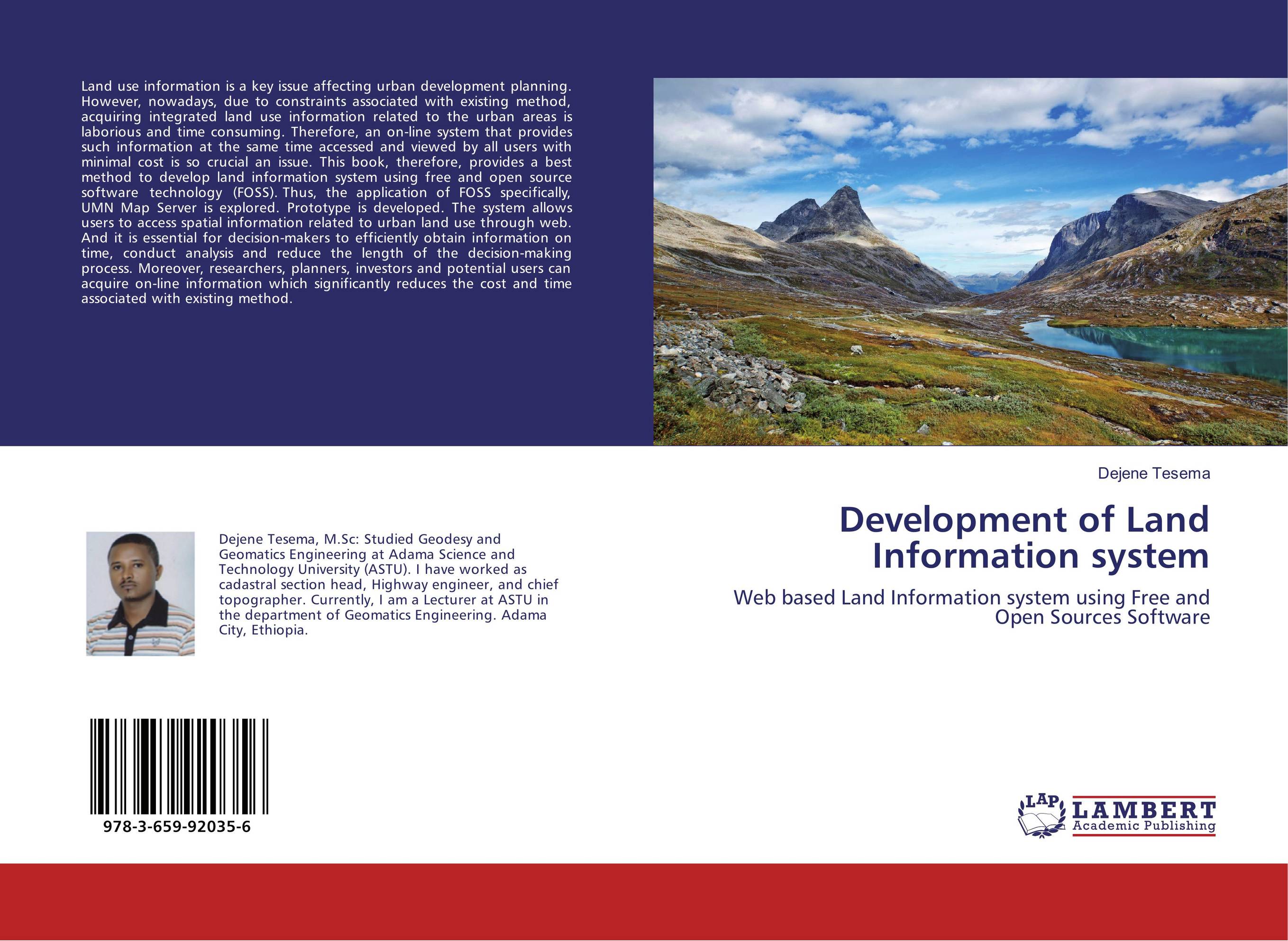 | Отрасли знаний: Точные науки -> Информатика и программирование Dejene Tesema Development of Land Information system. Web based Land Information system using Free and Open Sources Software. 2016 г., 76 стр., мягкий переплет Land use information is a key issue affecting urban development planning. However, nowadays, due to constraints associated with existing method, acquiring integrated land use information related to the urban areas is laborious and time consuming. Therefore, an on-line system that provides such information at the same time accessed and viewed by... | 23436 тг |