


| Поиск по каталогу |
|
(строгое соответствие)
|
- Профессиональная
- Научно-популярная
- Художественная
- Публицистика
- Детская
- Искусство
- Хобби, семья, дом
- Спорт
- Путеводители
- Блокноты, тетради, открытки
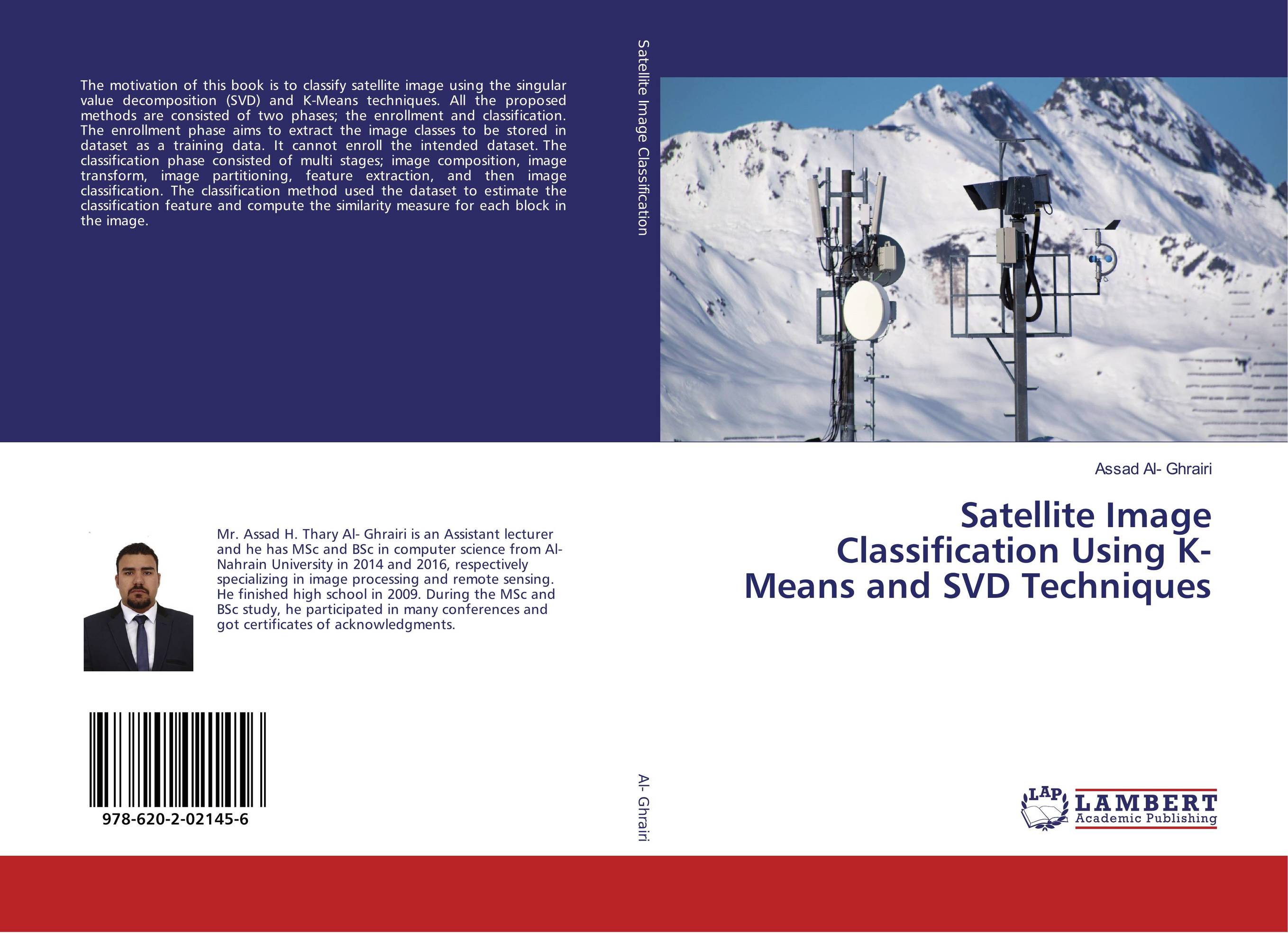
Satellite Image Classification Using K-Means and SVD Techniques.
В наличии
| Местонахождение: Алматы | Состояние экземпляра: новый |

Бумажная
версия
версия
Автор: Assad Al- Ghrairi
ISBN: 9786202021456
Год издания: 2017
Формат книги: 60×90/16 (145×215 мм)
Количество страниц: 128
Издательство: LAP LAMBERT Academic Publishing
Цена: 30464 тг
Положить в корзину
Позиции в рубрикаторе
Отрасли знаний:Код товара: 177559
| Способы доставки в город Алматы * комплектация (срок до отгрузки) не более 2 рабочих дней |
| Самовывоз из города Алматы (пункты самовывоза партнёра CDEK) |
| Курьерская доставка CDEK из города Москва |
| Доставка Почтой России из города Москва |
Аннотация: The motivation of this book is to classify satellite image using the singular value decomposition (SVD) and K-Means techniques. All the proposed methods are consisted of two phases; the enrollment and classification. The enrollment phase aims to extract the image classes to be stored in dataset as a training data. It cannot enroll the intended dataset. The classification phase consisted of multi stages; image composition, image transform, image partitioning, feature extraction, and then image classification. The classification method used the dataset to estimate the classification feature and compute the similarity measure for each block in the image.
Ключевые слова: block-based classification, Image classification, K-means, moment, Satellite Image Classification, segmentation, SVD, pixel-based classification
Похожие издания
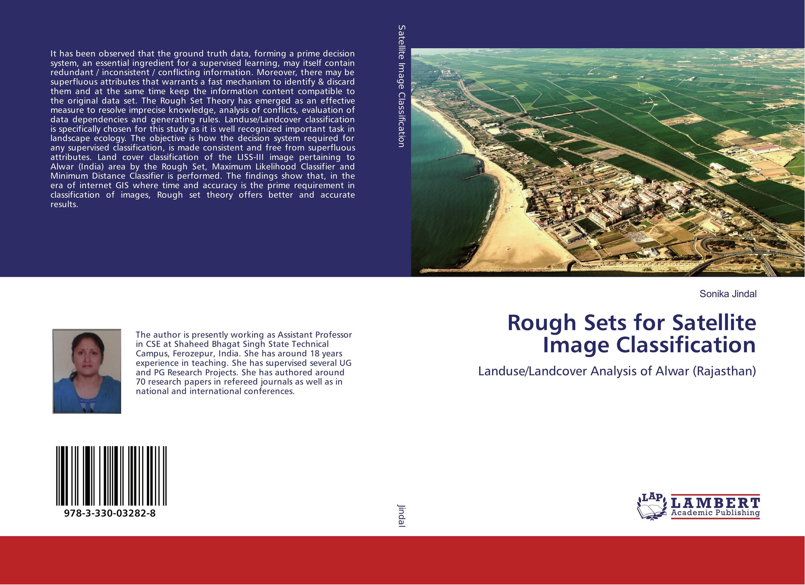 | Отрасли знаний: Точные науки -> Информатика и программирование Sonika Jindal Rough Sets for Satellite Image Classification. Landuse/Landcover Analysis of Alwar (Rajasthan). 2017 г., 108 стр., мягкий переплет It has been observed that the ground truth data, forming a prime decision system, an essential ingredient for a supervised learning, may itself contain redundant / inconsistent / conflicting information. Moreover, there may be superfluous attributes that warrants a fast mechanism to identify & discard them and at the same time keep the... | 29753 тг |
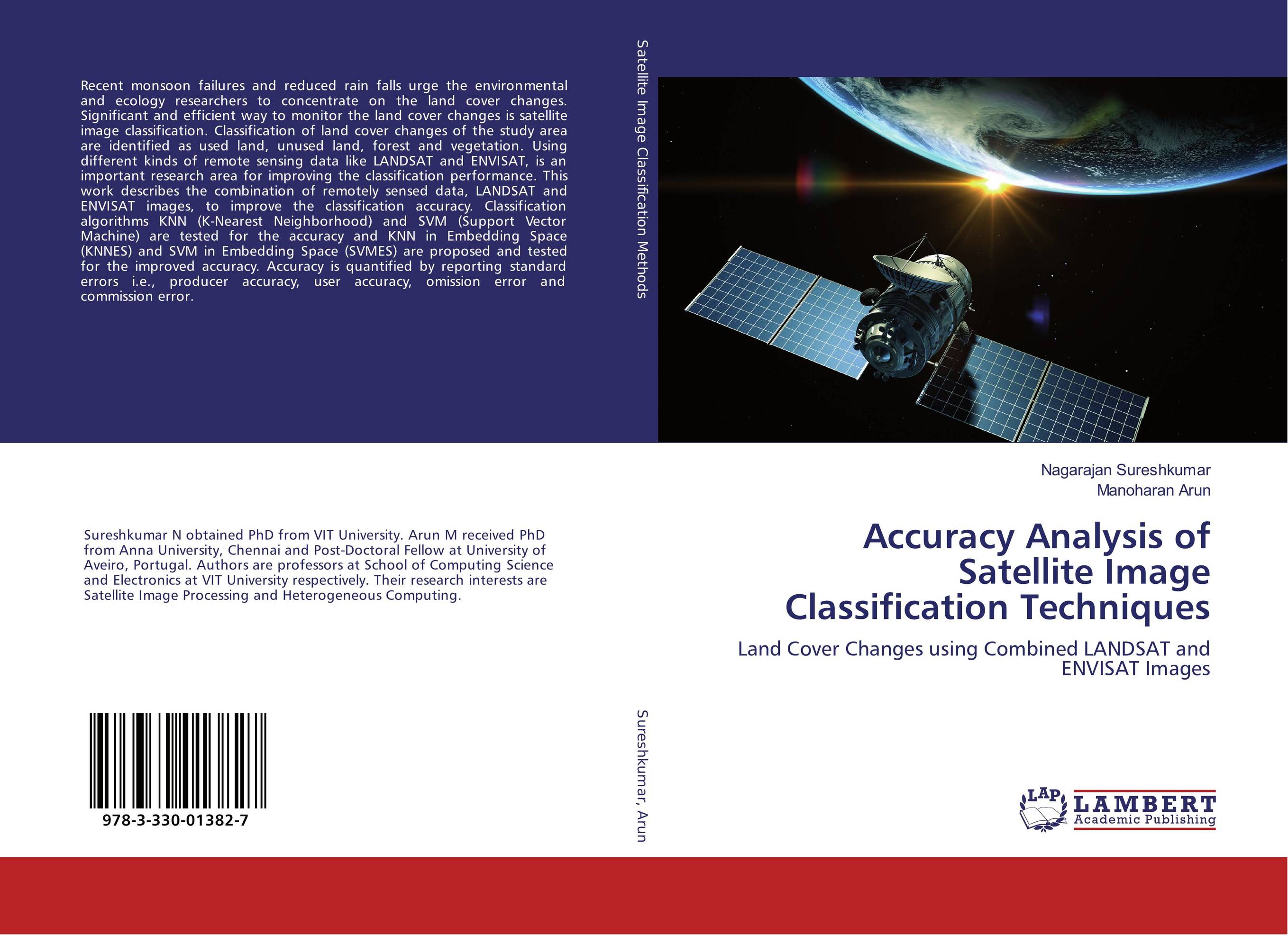 | Отрасли знаний: Точные науки -> Информатика и программирование Nagarajan Sureshkumar and Manoharan Arun Accuracy Analysis of Satellite Image Classification Techniques. Land Cover Changes using Combined LANDSAT and ENVISAT Images. 2016 г., 112 стр., мягкий переплет Recent monsoon failures and reduced rain falls urge the environmental and ecology researchers to concentrate on the land cover changes. Significant and efficient way to monitor the land cover changes is satellite image classification. Classification of land cover changes of the study area are identified as used land, unused land, forest and... | 29896 тг |
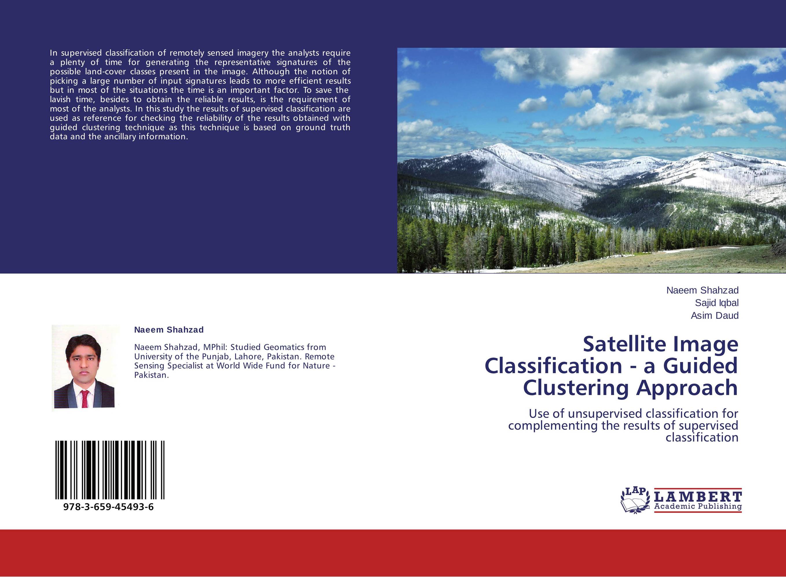 | Отрасли знаний: Науки о Земле Naeem Shahzad,Sajid Iqbal and Asim Daud Satellite Image Classification - a Guided Clustering Approach. Use of unsupervised classification for complementing the results of supervised classification. 2013 г., 52 стр., мягкий переплет In supervised classification of remotely sensed imagery the analysts require a plenty of time for generating the representative signatures of the possible land-cover classes present in the image. Although the notion of picking a large number of input signatures leads to more efficient results but in most of the situations the time is an important... | 20988 тг |