


| Поиск по каталогу |
|
(строгое соответствие)
|
- Профессиональная
- Научно-популярная
- Художественная
- Публицистика
- Детская
- Искусство
- Хобби, семья, дом
- Спорт
- Путеводители
- Блокноты, тетради, открытки
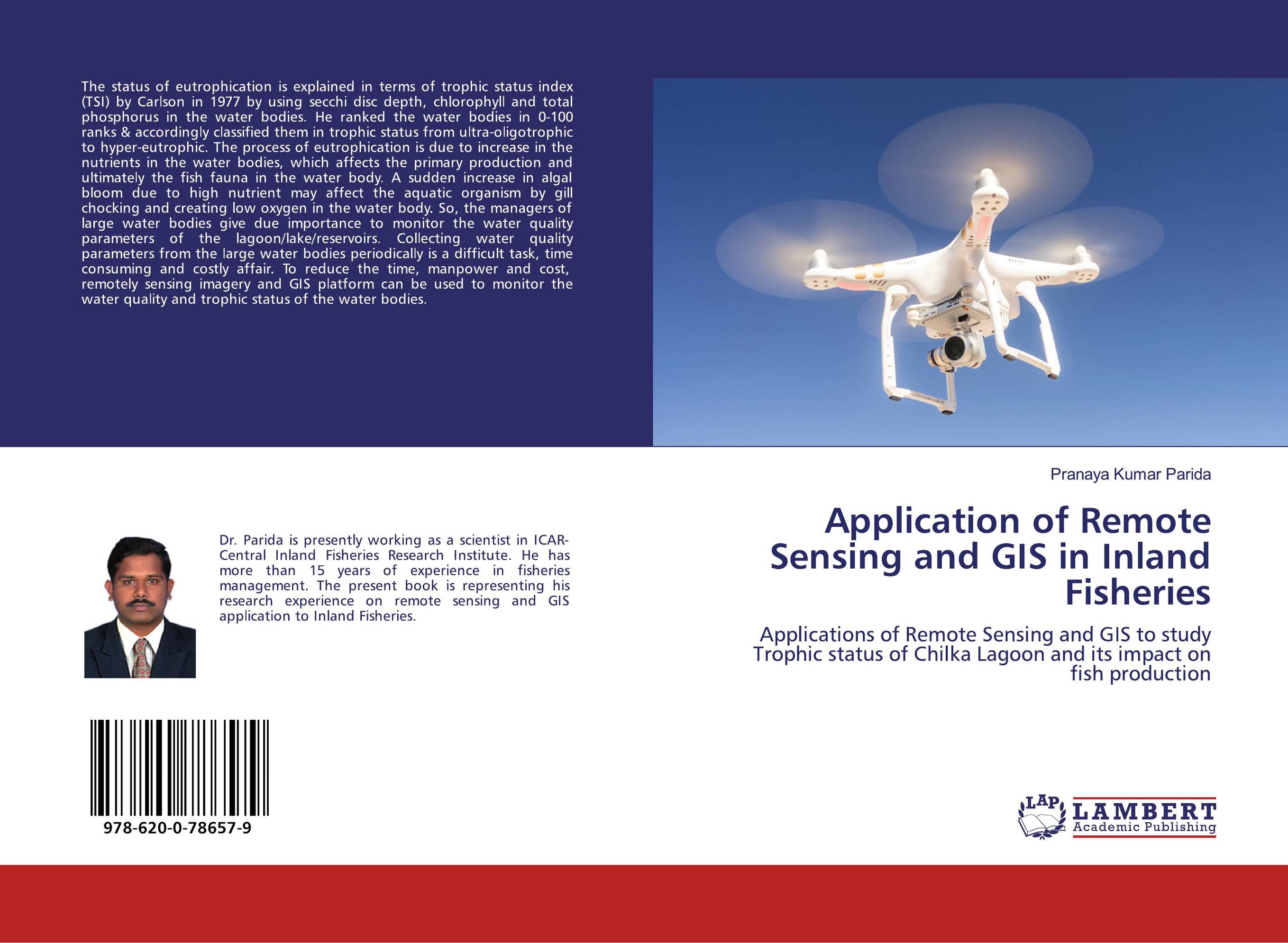
Application of Remote Sensing and GIS in Inland Fisheries. Applications of Remote Sensing and GIS to study Trophic status of Chilka Lagoon and its impact on fish production
В наличии
| Местонахождение: Алматы | Состояние экземпляра: новый |

Бумажная
версия
версия
Автор: Pranaya Kumar Parida
ISBN: 9786200786579
Год издания: 2020
Формат книги: 60×90/16 (145×215 мм)
Количество страниц: 68
Издательство: LAP LAMBERT Academic Publishing
Цена: 25266 тг
Положить в корзину
| Способы доставки в город Алматы * комплектация (срок до отгрузки) не более 2 рабочих дней |
| Самовывоз из города Алматы (пункты самовывоза партнёра CDEK) |
| Курьерская доставка CDEK из города Москва |
| Доставка Почтой России из города Москва |
Аннотация: The status of eutrophication is explained in terms of trophic status index (TSI) by Carlson in 1977 by using secchi disc depth, chlorophyll and total phosphorus in the water bodies. He ranked the water bodies in 0-100 ranks & accordingly classified them in trophic status from ultra-oligotrophic to hyper-eutrophic. The process of eutrophication is due to increase in the nutrients in the water bodies, which affects the primary production and ultimately the fish fauna in the water body. A sudden increase in algal bloom due to high nutrient may affect the aquatic organism by gill chocking and creating low oxygen in the water body. So, the managers of large water bodies give due importance to monitor the water quality parameters of the lagoon/lake/reservoirs. Collecting water quality parameters from the large water bodies periodically is a difficult task, time consuming and costly affair. To reduce the time, manpower and cost, remotely sensing imagery and GIS platform can be used to monitor the water quality and trophic status of the water bodies.
Ключевые слова: Remote sensing, GIS, Chilka, TSI, eutrophication, trophic status, Chilka Lagoon, Fish Production, Chlorophyll-a mapping, OC-2 algorithm, Turbidity mapping, Water pH, remotely sensing imagery
Похожие издания
 | Отрасли экономики: Агропромышленный комплекс -> Растениеводство -> Садоводство Amrutha R Krishnan Application of Remote Sensing and GIS in Fisheries.. 1905 г., 52 стр., мягкий переплет The World’s highest producer of fish and fishery products from capture fisheries are identified as major fishing areas by FAO. The countries within the Southeast Asian region considered as a major producer of capture fisheries. GIS is within the sort of hardware, software, and data that permits any trained staff to update, manipulate, analyze,... | 26810 тг |
 | Отрасли знаний: Науки о Земле AMRUTHA R KRISHNAN APPLICATION OF REMOTE SENSING AND GIS IN FISHERIES.. 1905 г., 52 стр., мягкий переплет The changes in the environmental conditions influence the abundance, distribution, availability and recruitment of marine resource in ocean. The measurement of ocean characteristics like concentration of suspended and dissolved matters, sea surface temperature, upwelling regions, frontal boundaries, water circulation pattern etc gives the... | 26810 тг |
 | Отрасли знаний: Наука в целом Zeel Shah and Chirag Shah APPLICATION OF REMOTE SENSING TECHNIQUES. To study the change in land use-land cover and vegetative productivity in and around Tadkeshwar lignite mine, Gujarat. 1905 г., 96 стр., мягкий переплет Remote sensing is that the process of detecting and monitoring the neighborhood characteristics of an area by measuring its reflected and emitted radiation at a distance. Special cameras collect remotely sensed images, which help researchers "sense" things about the world. Mining activities may cause to several geological changes, i.e.,... | 34186 тг |
 | Отрасли знаний: Точные науки -> Математика -> Анализ Nekkanti Haripavan and Subhashish Dey Applications of GIS systems in solid waste management for Gudivada AP. Application of remote sensing and geographic information system in solid waste management for Gudivada Municipalit. 1905 г., 80 стр., мягкий переплет Solid waste management is one of the major issues in the developing areas of the world and serious environmental problem that should be considered into account before other environmental problems. There is a considerable amount of waste disposal without proper segregation which has leads to both economic and environmental sufferings. Due to direct... | 27805 тг |
 | Отрасли знаний: Науки о Земле -> География Ranjan Saikia,Gitika Thakuriah and Monoj Kr. Jaiswal Application of Remote Sensing and GIS in Geomorphology. . 2012 г., 140 стр., мягкий переплет Remote sensing and Geomorphology are two disciplines of science, where geomorphology is the science of study of landforms of the earth. It is concerned with pattern of landform, materials and their related processes. Geomorphology as a science deals with evolutionary processes of relief forms of the earth and lead us to understand various... | 37916 тг |
 | Отрасли экономики: Агропромышленный комплекс -> Растениеводство -> Садоводство Seyed Armin Hashemi Application of remote sensing for studying natural resources. Application remote sensing on monitoring environment. 2012 г., 68 стр., мягкий переплет Increasingly, we are realizing the finite capacity of our globe to absorb the consequences of our activities: ongoing degradation and loss of natural ecosystems and dependent species; overuse of resources; pollution of water, land and the atmosphere; and modifications in atmospheric composition leading to climate change with all its... | 30074 тг |
 | Отрасли экономики: Агропромышленный комплекс -> Растениеводство -> Садоводство Eskinder Gidey and Abebe Kelemework Watershed Modeling. Application of Remote Sensing and GIS for Characterization of Hydrological Elements and Land Use/Land Cover Dynamism. 2012 г., 60 стр., мягкий переплет There is evidence of unprecedented land use change in the Koga watershed with far-reaching consequences for the long-term sustainability of the natural resource. Thus, the objective of this study was to characterize the hydrological elements and Land use/Land cover changes of Koga watershed, Mecha Woreda-West Gojjam. The watershed has been... | 29790 тг |
 | Отрасли знаний: Естественные науки -> Экология Mohammed A. Abd Rabou Assessment and Mapping of the Gaza Coastal Zone Changes, Palestine. Application of GIS and Remote Sensing Techniques. 2018 г., 116 стр., мягкий переплет This book focuses on assessing and mapping the Gaza coastal zone changes using GIS and Remote Sensing techniques. Three axes were handled: The first axis investigated the detection of land use/land cover (LULC) changes from SPOT-5, Landsat and QuickBird for the years 2004, 2009 and 2016. The second analyzed satellite images from 1972 to 2014 to... | 32254 тг |
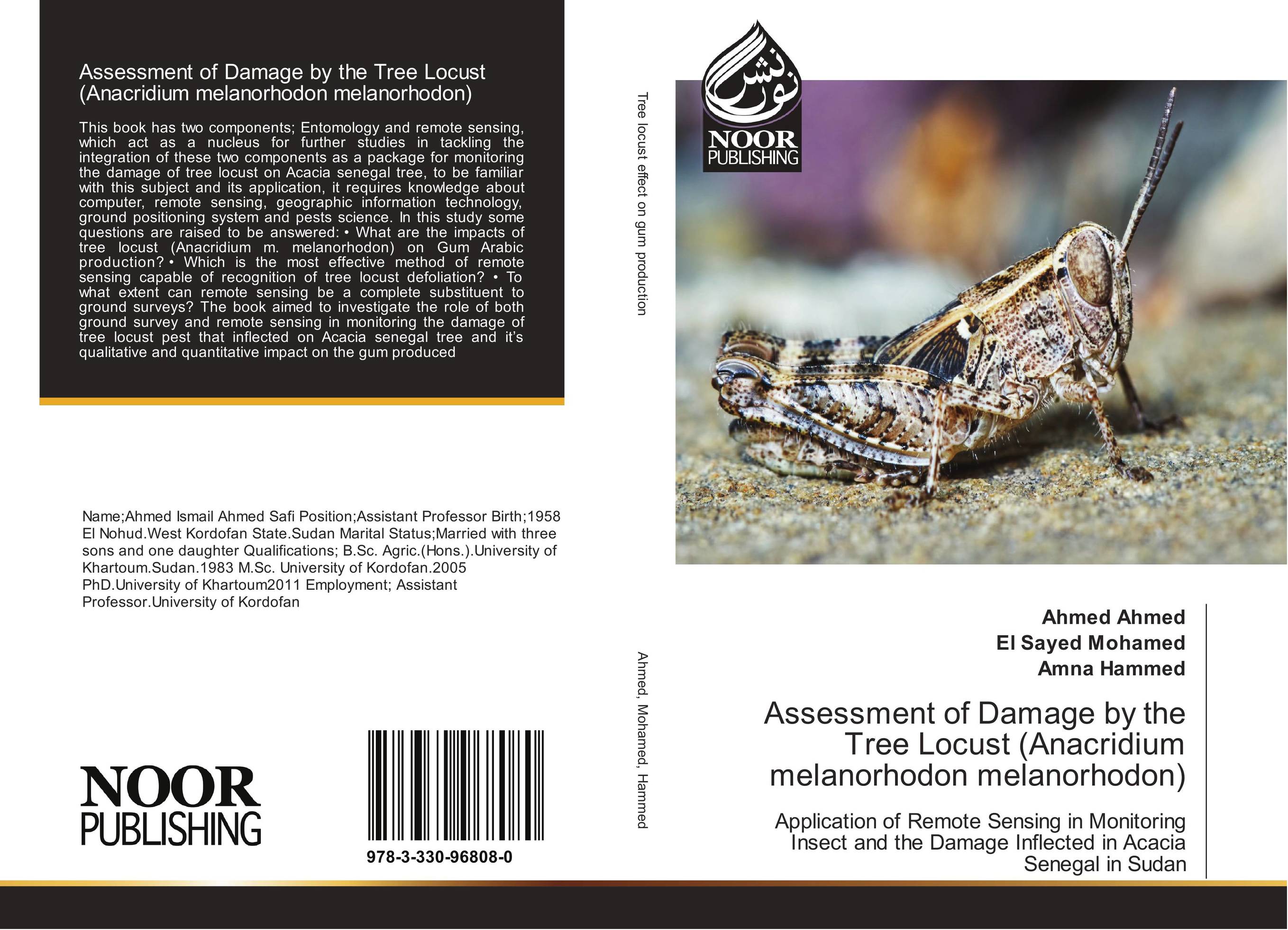 | Отрасли экономики: Агропромышленный комплекс -> Растениеводство -> Садоводство Ahmed Ahmed,El Sayed Mohamed and Amna Hammed Assessment of Damage by the Tree Locust (Anacridium melanorhodon melanorhodon). Application of Remote Sensing in Monitoring Insect and the Damage Inflected in Acacia Senegal in Sudan. 2017 г., 144 стр., мягкий переплет This book has two components; Entomology and remote sensing, which act as a nucleus for further studies in tackling the integration of these two components as a package for monitoring the damage of tree locust on Acacia senegal tree, to be familiar with this subject and its application, it requires knowledge about computer, remote sensing,... | 36420 тг |
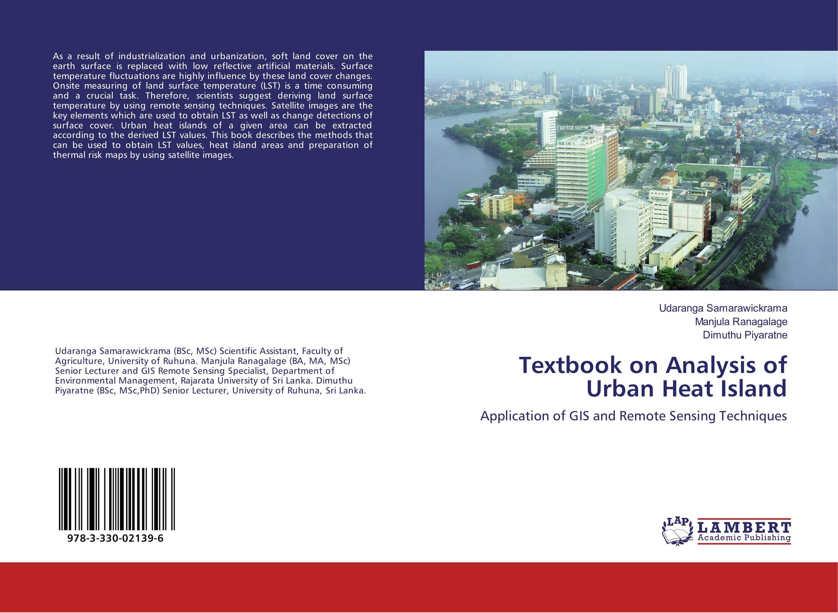 | Отрасли знаний: Науки о Земле Udaranga Samarawickrama,Manjula Ranagalage and Dimuthu Piyaratne Textbook on Analysis of Urban Heat Island. Application of GIS and Remote Sensing Techniques. 2017 г., 64 стр., мягкий переплет As a result of industrialization and urbanization, soft land cover on the earth surface is replaced with low reflective artificial materials. Surface temperature fluctuations are highly influence by these land cover changes. Onsite measuring of land surface temperature (LST) is a time consuming and a crucial task. Therefore, scientists suggest... | 23010 тг |
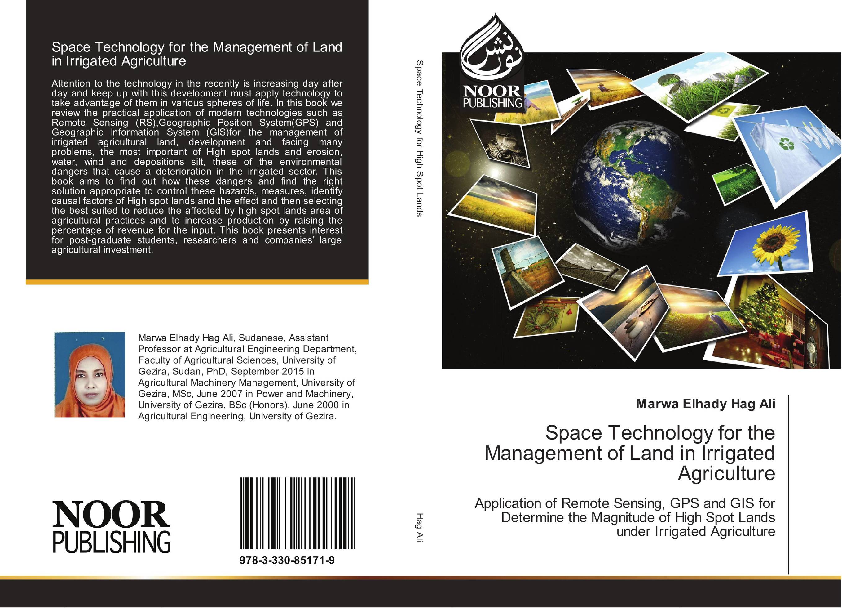 | Отрасли экономики: Агропромышленный комплекс -> Растениеводство -> Садоводство Marwa Elhady Hag Ali Space Technology for the Management of Land in Irrigated Agriculture. Application of Remote Sensing, GPS and GIS for Determine the Magnitude of High Spot Lands under Irrigated Agriculture. 2017 г., 148 стр., мягкий переплет Attention to the technology in the recently is increasing day after day and keep up with this development must apply technology to take advantage of them in various spheres of life. In this book we review the practical application of modern technologies such as Remote Sensing (RS),Geographic Position System(GPS) and Geographic Information System... | 36562 тг |
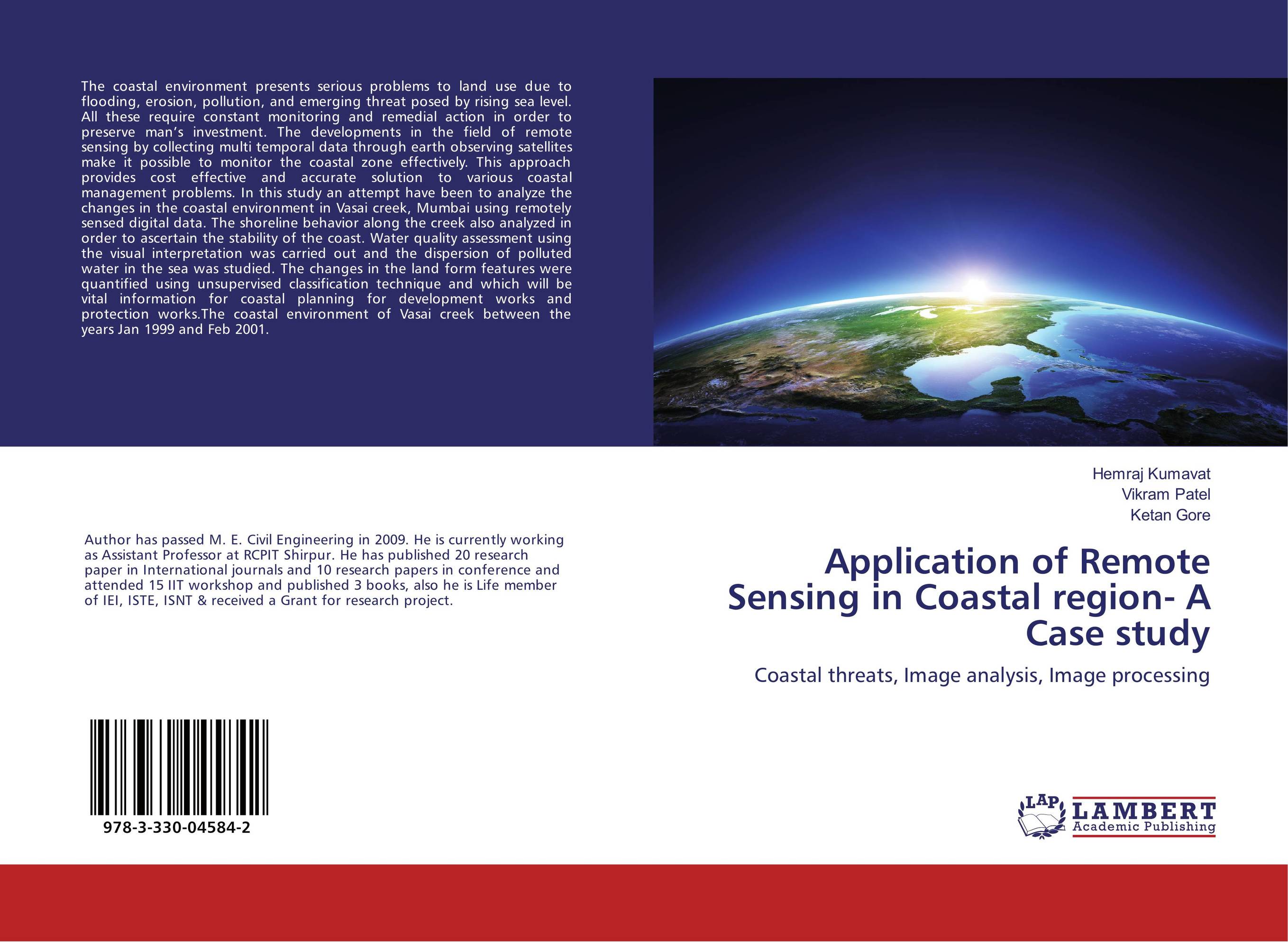 | Отрасли экономики: Промышленность в целом Hemraj Kumavat,Vikram Patel and Ketan Gore Application of Remote Sensing in Coastal region- A Case study. Coastal threats, Image analysis, Image processing. 2017 г., 76 стр., мягкий переплет The coastal environment presents serious problems to land use due to flooding, erosion, pollution, and emerging threat posed by rising sea level. All these require constant monitoring and remedial action in order to preserve man’s investment. The developments in the field of remote sensing by collecting multi temporal data through earth... | 23436 тг |
 | Отрасли знаний: Естественные науки -> Экология Dessalegn Ejigu Application of GIS and remote sensing in ecology. . 2016 г., 56 стр., мягкий переплет Reliable information and sound assessment methods about the ecosystem enable for identification of indicator species in order to predict changes occurring in the ecosystem. Information about a given ecosystem might be collected both by ground-based and remote sensing methods. Ground-based methods of data acquisition include field observations and... | 22726 тг |
 | Отрасли знаний: Науки о Земле -> Геология и геофизика Hassan Mohy,Fawzy F. Basta and Islam Abou El-Magd Application of remote sensing for gold exploration in Egypt. . 2016 г., 124 стр., мягкий переплет In this study, the Advanced Spaceborne Thermal Emission and Reflection Radiometer (ASTER) images were used to map the lithology, the alteration zones related to gold mineralization and the structural patterns at the Fawakhir area, Central Eastern Desert of Egypt. Integration of band rationing and Principal Component Analysis (PCA) was used to... | 32539 тг |
 | Отрасли знаний: Общественные науки -> Юриспруденция Raad M. Wafur Application of GIS and Remote Sensing Techniques on Groundwater. . 2015 г., 128 стр., мягкий переплет The study explains the ability of remote sensing and geographic information system GIS techniques, to define the highly concentrated ions in the groundwater of Dibdiba aquifer of the southern west part of Iraq/Basrah governorate. The study concludes, that the most important reasons for the higher concentration of ions of groundwater come from the... | 42192 тг |
 | Отрасли экономики: Агропромышленный комплекс -> Растениеводство -> Садоводство Nakhawa Ajay D.,Priyanka Vichare and Sandip Markad Application Of Remote Sensing In Coastal Mapping. . 2014 г., 64 стр., мягкий переплет Remote sensing is important tool for mapping the different ecosystem of coastal area as it give synoptic views of an area retrieved through repetitive and multi-spectral remote sensing data, which can be useful for monitoring coastal areas. Coastal features are under threat from anthropogenic activities and climate change impact, so it necessary... | 25124 тг |
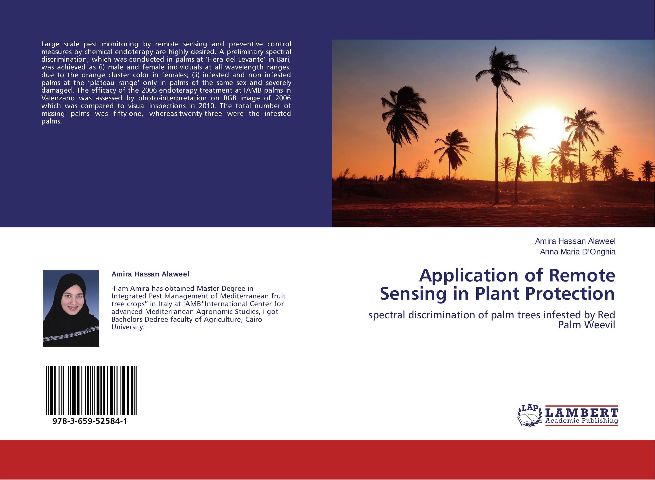 | Отрасли экономики: Агропромышленный комплекс -> Растениеводство -> Садоводство Amira Hassan Alaweel and Anna Maria D'Onghia Application of Remote Sensing in Plant Protection. Spectral discrimination of palm trees infested by Red Palm Weevil. 2014 г., 68 стр., мягкий переплет Large scale pest monitoring by remote sensing and preventive control measures by chemical endoterapy are highly desired. A preliminary spectral discrimination, which was conducted in palms at ‘Fiera del Levante’ in Bari, was achieved as (i) male and female individuals at all wavelength ranges, due to the orange cluster color in females; (ii)... | 25266 тг |
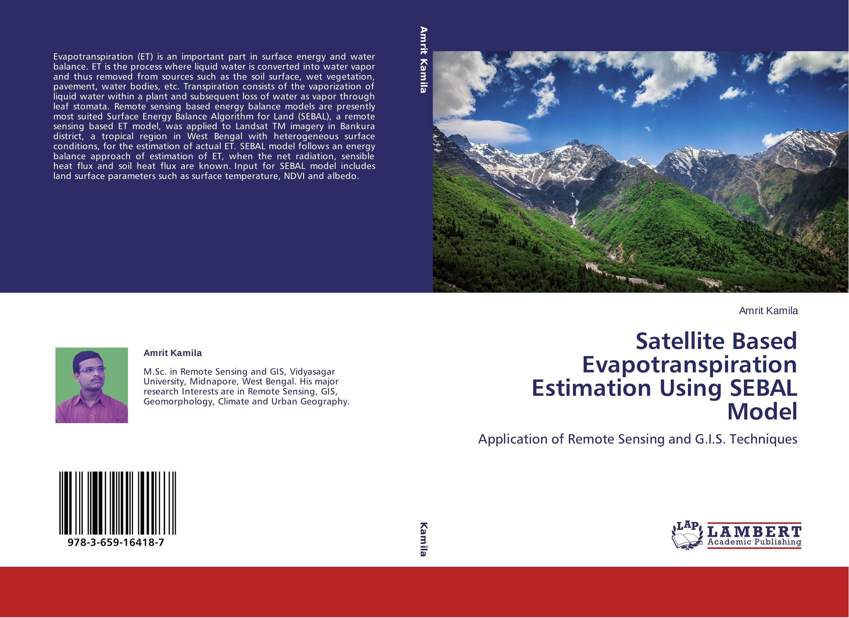 | Отрасли знаний: Науки о Земле -> География Amrit Kamila Satellite Based Evapotranspiration Estimation Using SEBAL Model. Application of Remote Sensing and G.I.S. Techniques. 2014 г., 100 стр., мягкий переплет Evapotranspiration (ET) is an important part in surface energy and water balance. ET is the process where liquid water is converted into water vapor and thus removed from sources such as the soil surface, wet vegetation, pavement, water bodies, etc. Transpiration consists of the vaporization of liquid water within a plant and subsequent loss of... | 34328 тг |
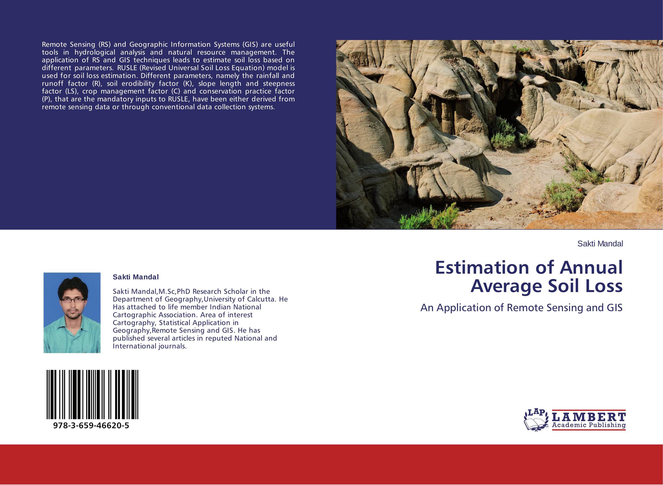 | Отрасли знаний: Науки о Земле Sakti Mandal Estimation of Annual Average Soil Loss. An Application of Remote Sensing and GIS. 2013 г., 68 стр., мягкий переплет Remote Sensing (RS) and Geographic Information Systems (GIS) are useful tools in hydrological analysis and natural resource management. The application of RS and GIS techniques leads to estimate soil loss based on different parameters. RUSLE (Revised Universal Soil Loss Equation) model is used for soil loss estimation. Different parameters, namely... | 25266 тг |
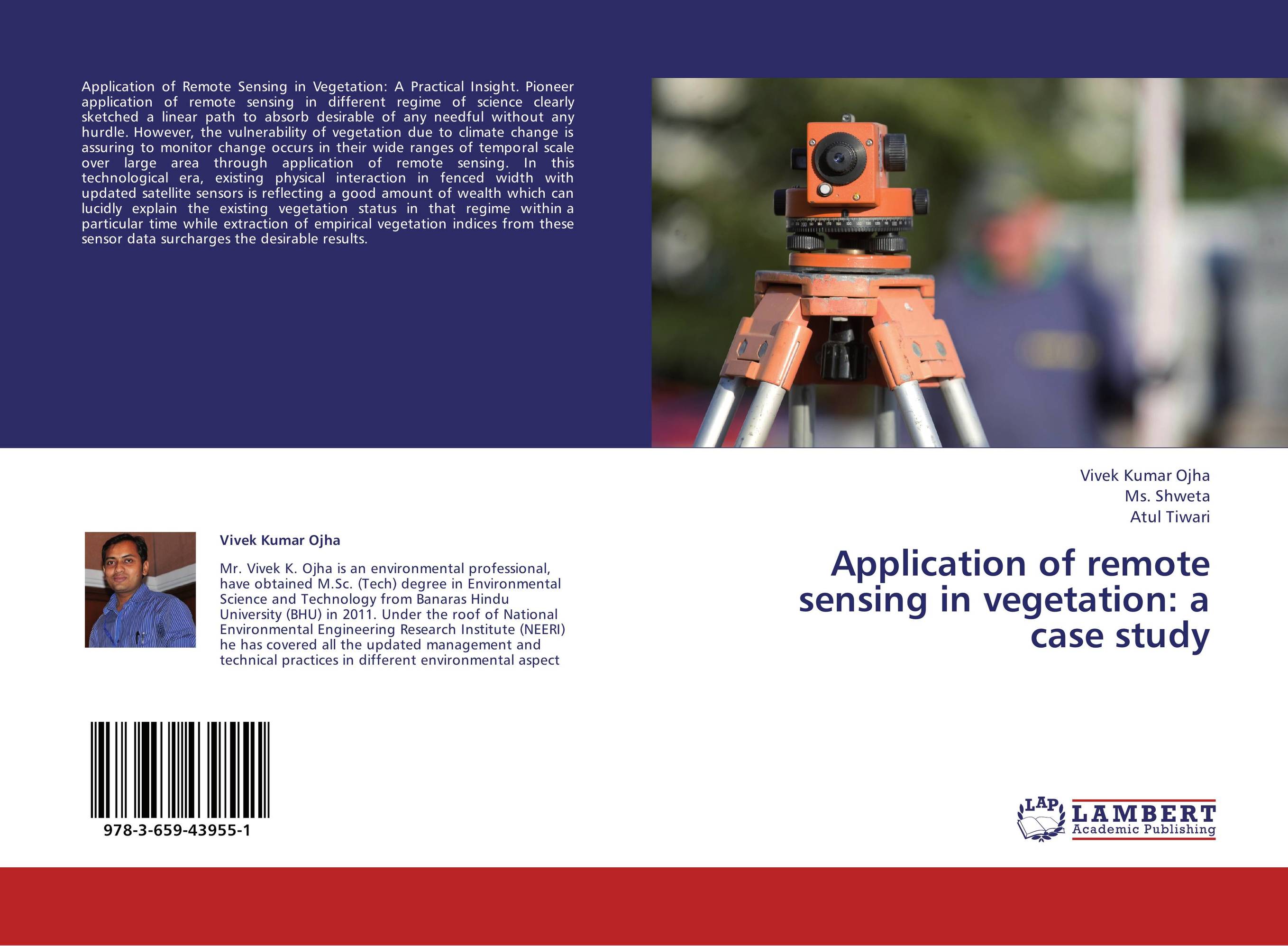 | Отрасли знаний: Науки о Земле Vivek Kumar Ojha,Ms. Shweta and Atul Tiwari Application of remote sensing in vegetation: a case study. . 2013 г., 56 стр., мягкий переплет Application of Remote Sensing in Vegetation: A Practical Insight. Pioneer application of remote sensing in different regime of science clearly sketched a linear path to absorb desirable of any needful without any hurdle. However, the vulnerability of vegetation due to climate change is assuring to monitor change occurs in their wide ranges... | 22726 тг |
 | Отрасли знаний: Науки о Земле Cosmas Kujjo Application of Remote Sensing for Gold Exploration in the Sudan. A Case History of Gold Exploration in Arid and Semi-Arid Areas. 2013 г., 136 стр., мягкий переплет Gold has been and will remain precious. Likewise, Remote Sensing is an extremely valuable and rapidily advancing tool which the author has utilized in exploring for gold in the Nuba Mountains of Sudan. Gold exploration in the Sudan has been known since Pharaonic times (4,000 years), but the sparse population and inhospitable climate caused the... | 30322 тг |
 | Отрасли экономики: Машиностроение -> Авиастроение Yitong Jiang Identifying the Application of Sewage Sludge. An Application of Remote Sensing Technology on Monitoring Soil Amendments. 2013 г., 112 стр., мягкий переплет Application of sewage sludge to agricultural fields is used by farmers to improve the soil conditions physically, chemically, and organically. However, the application has potential risk to public health and the environment, because the heavy metals, nutrients, and pathogens may be included in sewage sludge. The location of all applications of... | 31637 тг |
 | Отрасли знаний: Науки о Земле Sakti Mandal and Ratnadeep Ray Application of Remote Sensing in Urban Area. A Study on Urban Heat Island Mapping. 2014 г., 124 стр., мягкий переплет The urban heat island (UHI) effect has caught the great attention with the fast urbanization processes. Kolkata Metropolitan Area in India is one of the regions experiencing rapid urbanization that has resulted in UHI which will influence the regional climate, environment and socio-economic development. Two distinct Land sat ETM+ images (year of... | 35181 тг |