| Поиск по каталогу |
|
(строгое соответствие)
|
- Профессиональная
- Научно-популярная
- Художественная
- Публицистика
- Детская
- Искусство
- Хобби, семья, дом
- Спорт
- Путеводители
- Блокноты, тетради, открытки
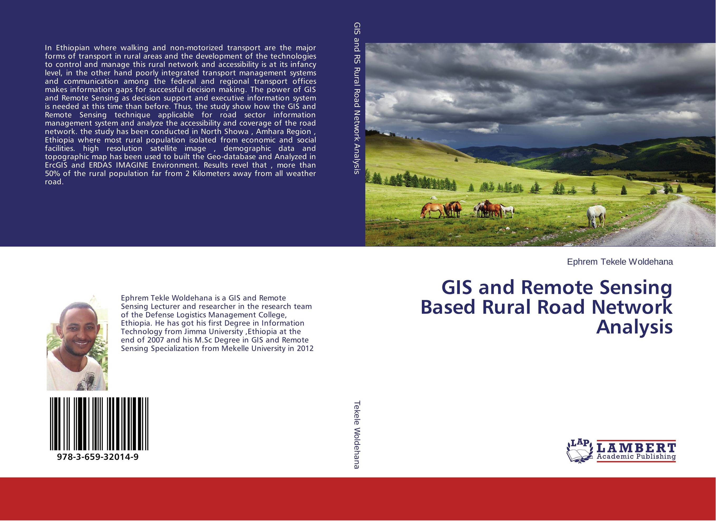
GIS and Remote Sensing Based Rural Road Network Analysis.
В наличии
| Местонахождение: Алматы | Состояние экземпляра: новый |

Бумажная
версия
версия
Автор: Ephrem Tekele Woldehana
ISBN: 9783659320149
Год издания: 2013
Формат книги: 60×90/16 (145×215 мм)
Количество страниц: 104
Издательство: LAP LAMBERT Academic Publishing
Цена: 31353 тг
Положить в корзину
| Способы доставки в город Алматы * комплектация (срок до отгрузки) не более 2 рабочих дней |
| Самовывоз из города Алматы (пункты самовывоза партнёра CDEK) |
| Курьерская доставка CDEK из города Москва |
| Доставка Почтой России из города Москва |
Аннотация: In Ethiopian where walking and non-motorized transport are the major forms of transport in rural areas and the development of the technologies to control and manage this rural network and accessibility is at its infancy level, in the other hand poorly integrated transport management systems and communication among the federal and regional transport offices makes information gaps for successful decision making. The power of GIS and Remote Sensing as decision support and executive information system is needed at this time than before. Thus, the study show how the GIS and Remote Sensing technique applicable for road sector information management system and analyze the accessibility and coverage of the road network. the study has been conducted in North Showa , Amhara Region , Ethiopia where most rural population isolated from economic and social facilities. high resolution satellite image , demographic data and topographic map has been used to built the Geo-database and Analyzed in ErcGIS and ERDAS IMAGINE Environment. Results revel that , more than 50% of the rural population far from 2 Kilometers away from all weather road.
Ключевые слова: GIS, Remote sensing, Rural Road Network Analysis
Похожие издания
 | Отрасли экономики: Агропромышленный комплекс -> Растениеводство -> Садоводство Ajeet Singh Nain Wheat in India: a Geospatial Approach for Enhancing Productivity. Remote Sensing and GIS based Approach for enhancing Wheat productivity. 2019 г., 140 стр., мягкий переплет The book provides exclusive information on the status of wheat and use of Geospatial Technology for enhancing wheat productivity. The efforts have been made to provide wheat relevant information at one place so that readers get complete knowledge of the wheat including wheat biology and factors affecting distribution of wheat in India. The major... | 39449 тг |
 | Отрасли знаний: Науки о Земле Sofonias Mehari GIS &Remote Sensing based Water Quality Assessment in-relation. To Land use/land Cover Patterns. 2012 г., 96 стр., мягкий переплет GIS and Remote Sensing are powerful tools on analyzing land use/ land cover change of a given place. Different studies have shown that in watershed, land use land cover change have direct impact on determining water quality, and this remains to be true in the analysis done for Hashengea watershed system. In this study, land use land cover change... | 31069 тг |
 | Отрасли знаний: Науки о Земле Rajarshi DasGupta Assessment of Land Degradation and Its restoration in Jharia Coalfield. A Remote Sensing and GIS Based Approach. 2012 г., 68 стр., мягкий переплет Jharia coalfield is the prime coking coal reserve of India. It has a long history of unsystematic and unscientific mining which resulted in severe land degradation, surface and subsurface mine fires and subsidence of land. Since the nationalization of coalmines in the year 1972-73, a scientific approach of coal mining has been adapted for coal... | 30074 тг |
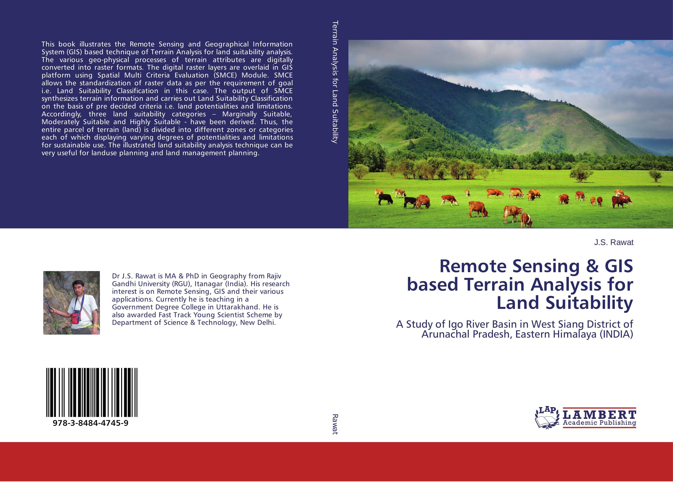 | Отрасли знаний: Науки о Земле -> География J.S. Rawat Remote Sensing & GIS based Terrain Analysis for Land Suitability. A Study of Igo River Basin in West Siang District of Arunachal Pradesh, Eastern Himalaya (INDIA). 2012 г., 184 стр., мягкий переплет This book illustrates the Remote Sensing and Geographical Information System (GIS) based technique of Terrain Analysis for land suitability analysis. The various geo-physical processes of terrain attributes are digitally converted into raster formats. The digital raster layers are overlaid in GIS platform using Spatial Multi Criteria Evaluation... | 44234 тг |
 | Отрасли экономики: Машиностроение -> Авиастроение Rushanka Amrutkar Microwave Remote Sensing based Polarimetric Decomposition. A Study on forest biopysical parameter extraction using space technology. 2017 г., 64 стр., мягкий переплет This book explains the development of SAR polarimetry based semi-empirical Water Cloud Model (WCM) for Stem volume and Aboveground biomass estimation over Eastern and Northern Gujarat (India) forest area covering portions of Surat, Valsad, Dang and Dadra and Nagar Haveli districts. It explains the relationship between these forest biophysical... | 23010 тг |
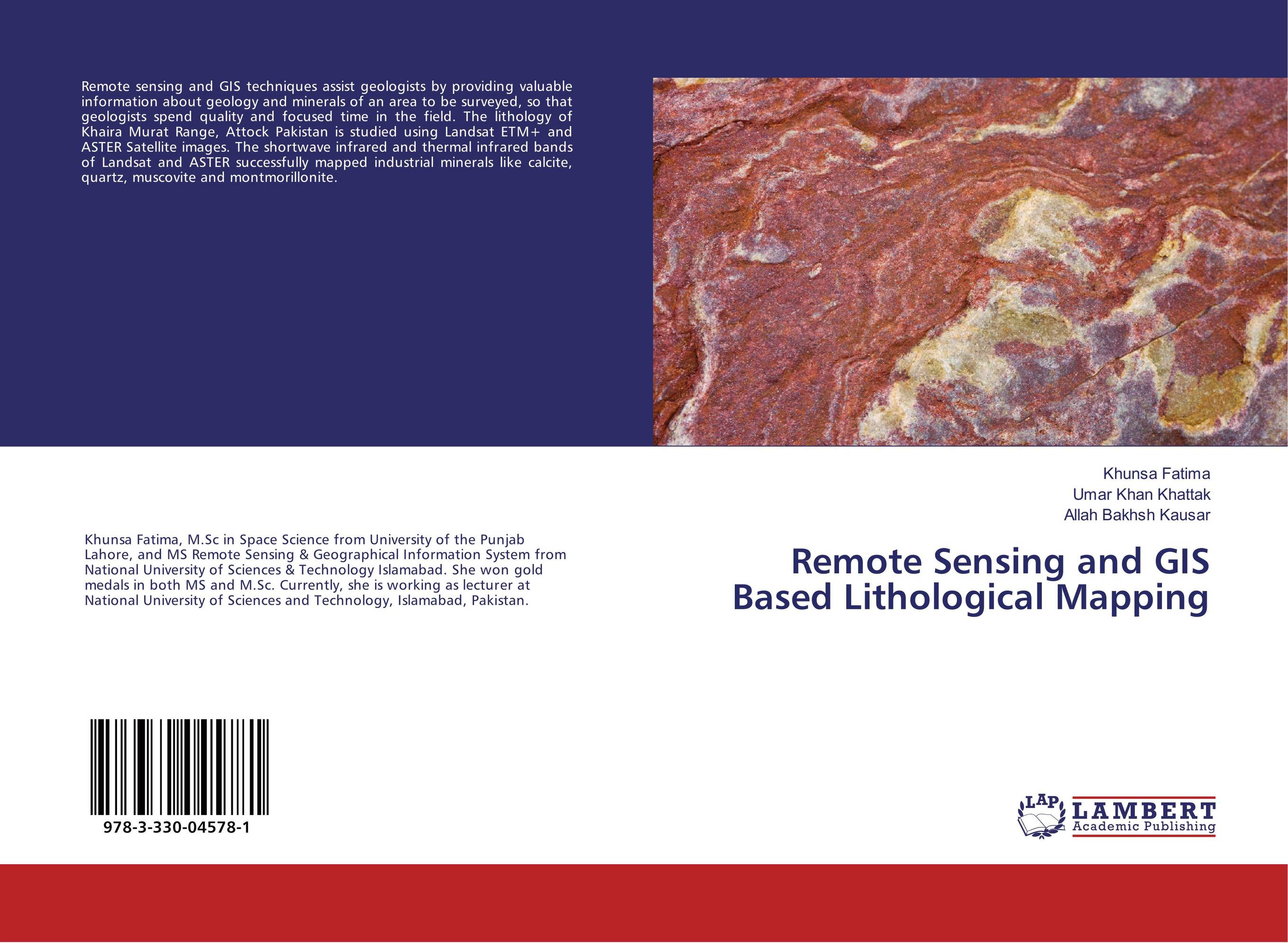 | Отрасли знаний: Науки о Земле Khunsa Fatima,Umar Khan Khattak and Allah Bakhsh Kausar Remote Sensing and GIS Based Lithological Mapping. . 2017 г., 68 стр., мягкий переплет Remote sensing and GIS techniques assist geologists by providing valuable information about geology and minerals of an area to be surveyed, so that geologists spend quality and focused time in the field. The lithology of Khaira Murat Range, Attock Pakistan is studied using Landsat ETM+ and ASTER Satellite images. The shortwave infrared and thermal... | 23152 тг |
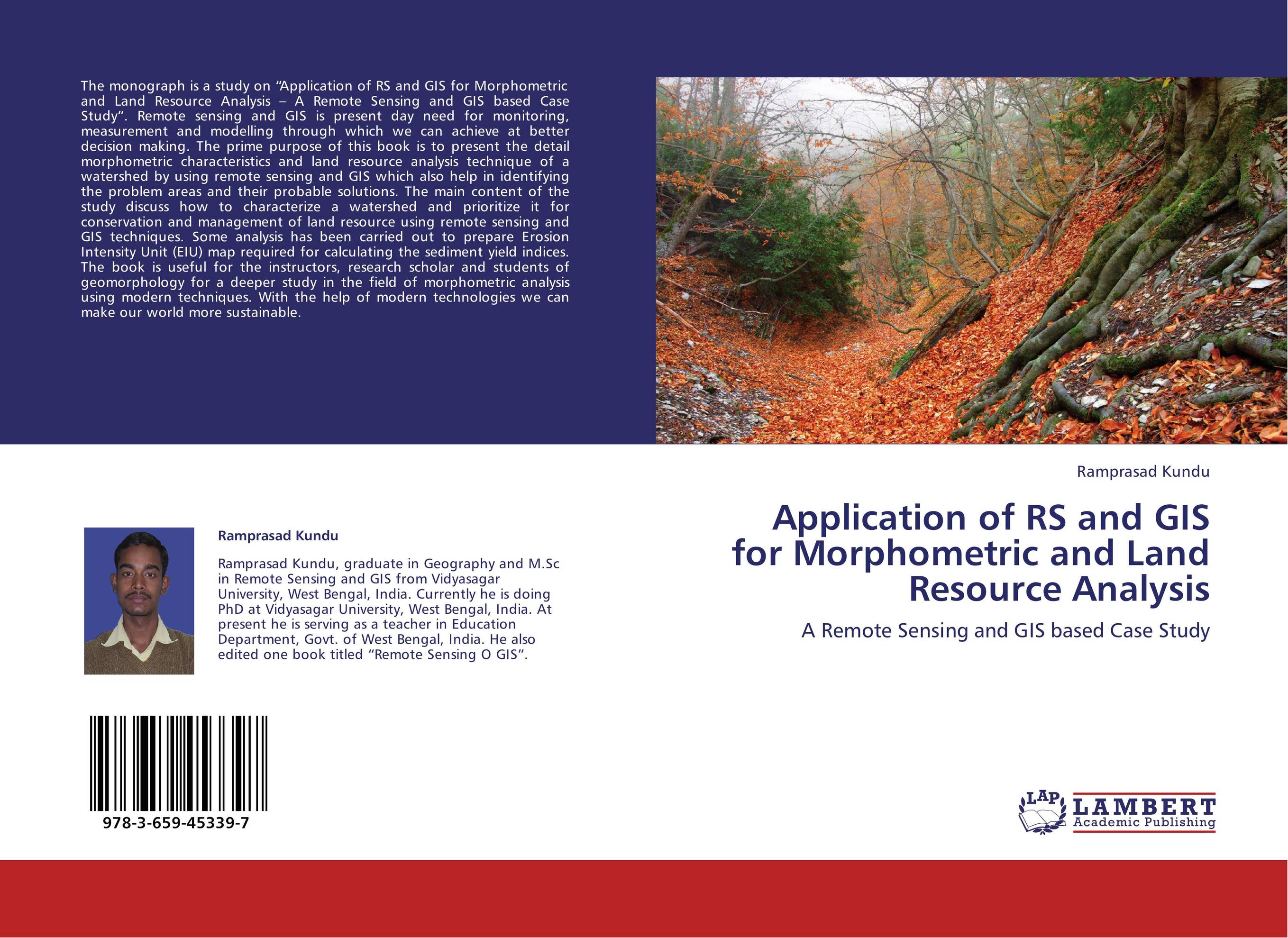 | Отрасли знаний: Науки о Земле Ramprasad Kundu Application of RS and GIS for Morphometric and Land Resource Analysis. A Remote Sensing and GIS based Case Study. 2013 г., 96 стр., мягкий переплет The monograph is a study on “Application of RS and GIS for Morphometric and Land Resource Analysis – A Remote Sensing and GIS based Case Study”. Remote sensing and GIS is present day need for monitoring, measurement and modelling through which we can achieve at better decision making. The prime purpose of this book is to present the detail... | 34186 тг |
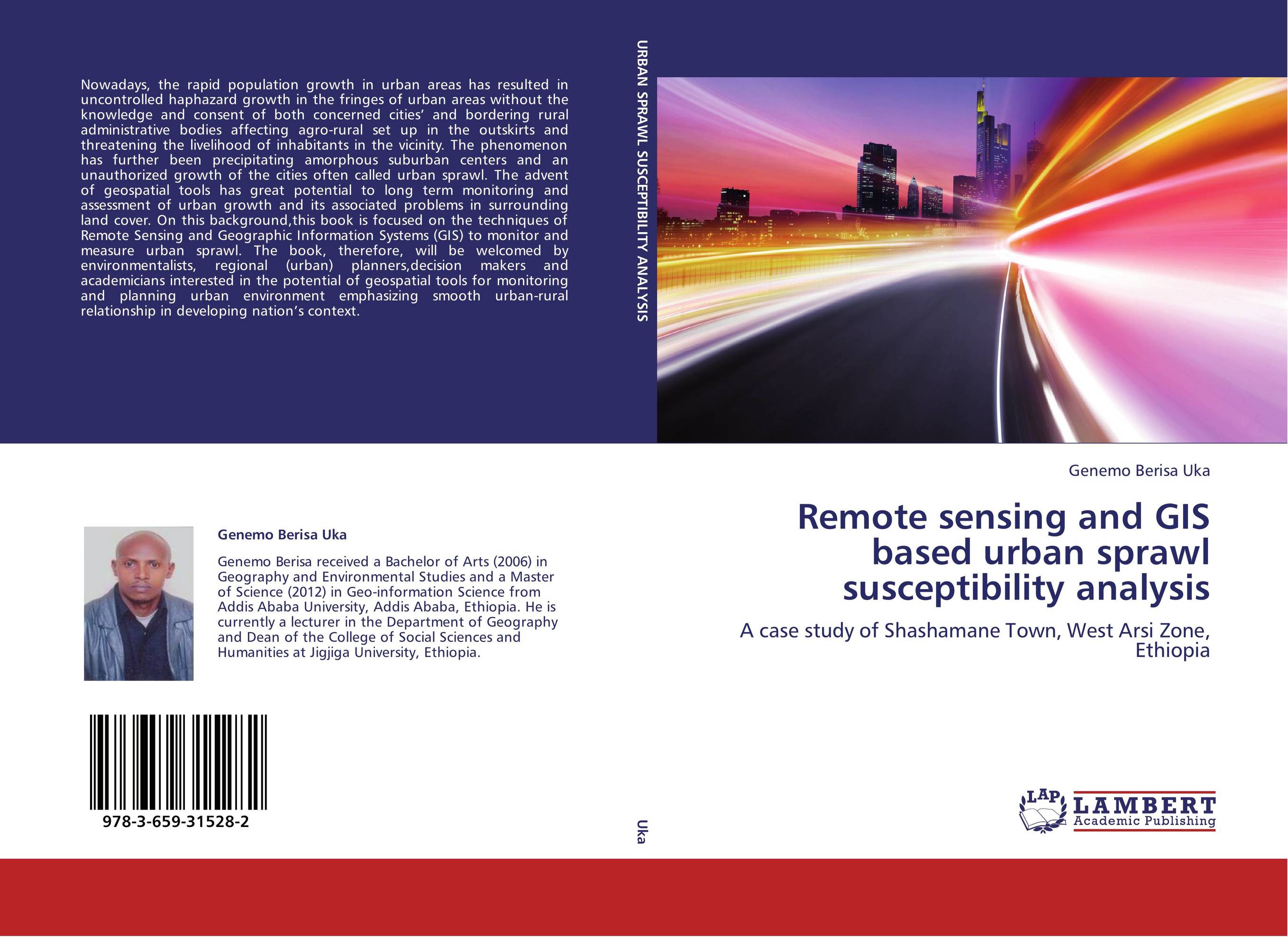 | Отрасли знаний: Науки о Земле Genemo Berisa Uka Remote sensing and GIS based urban sprawl susceptibility analysis. A case study of Shashamane Town, West Arsi Zone, Ethiopia. 2013 г., 104 стр., мягкий переплет Nowadays, the rapid population growth in urban areas has resulted in uncontrolled haphazard growth in the fringes of urban areas without the knowledge and consent of both concerned cities’ and bordering rural administrative bodies affecting agro-rural set up in the outskirts and threatening the livelihood of inhabitants in the vicinity. The... | 31353 тг |
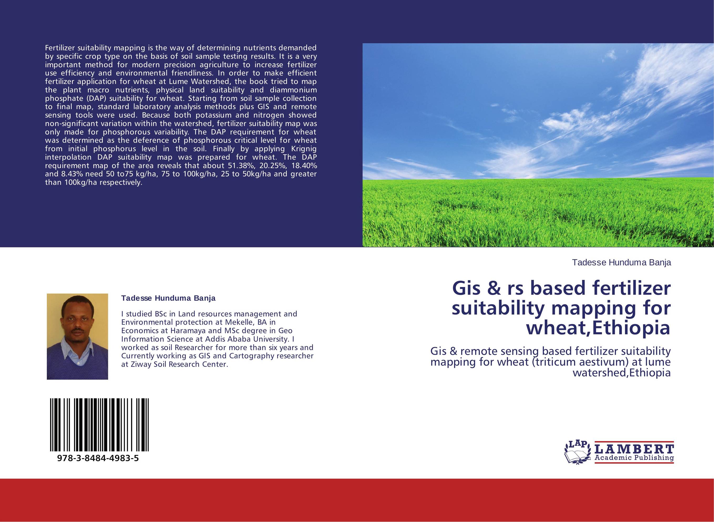 | Отрасли экономики: Агропромышленный комплекс -> Растениеводство -> Садоводство Tadesse Hunduma Banja Gis & rs based fertilizer suitability mapping for wheat,Ethiopia. Gis & remote sensing based fertilizer suitability mapping for wheat (triticum aestivum) at lume watershed,Ethiopia. 2014 г., 80 стр., мягкий переплет Fertilizer suitability mapping is the way of determining nutrients demanded by specific crop type on the basis of soil sample testing results. It is a very important method for modern precision agriculture to increase fertilizer use efficiency and environmental friendliness. In order to make efficient fertilizer application for wheat at Lume... | 25692 тг |


