


| Поиск по каталогу |
|
(строгое соответствие)
|
- Профессиональная
- Научно-популярная
- Художественная
- Публицистика
- Детская
- Искусство
- Хобби, семья, дом
- Спорт
- Путеводители
- Блокноты, тетради, открытки
Geographical Information System for Community Health Monitoring.
В наличии
| Местонахождение: Алматы | Состояние экземпляра: новый |

Бумажная
версия
версия
Автор: Haimwant Persaud
ISBN: 9783659632679
Год издания: 2014
Формат книги: 60×90/16 (145×215 мм)
Количество страниц: 96
Издательство: LAP LAMBERT Academic Publishing
Цена: 31747 тг
Положить в корзину
| Способы доставки в город Алматы * комплектация (срок до отгрузки) не более 2 рабочих дней |
| Самовывоз из города Алматы (пункты самовывоза партнёра CDEK) |
| Курьерская доставка CDEK из города Москва |
| Доставка Почтой России из города Москва |
Аннотация: Monitoring and assessing health problem trends require health specialists to access high quality information in order to identify and prioritize problems, develop and evaluate policies and actions, organize the delivery of clinical health services, guide research and development, and contribute to the development of standards and guidelines. This enables public health planning, management, and monitoring. HARC is a non-profit organization in the Coachella Valley, collecting a wealth of data and information; but it lacked an effective or efficient approach to communicate the information with its clients. Their data were contained in a 700-page report on health indicators and disparities in Coachella Valley. Presenting data in a user-friendly format through the developed application made it easier for people to locate data for specific populations and to produce clear and easy-to-understand maps. HARC will also be able to increase awareness of the health problems faced by communities in Coachella Valley. HARC and its clients will use the application to view, query, print, and share information on health indicators, behavior, and disparities in the Coachella Valley.
Ключевые слова: Geographic information system, public, community health, Web Application
Похожие издания
 | Отрасли знаний: Науки о Земле -> География Gheorghe Salceanu Real Estate - Urban Geographical. Information System Of A Municipality. 1905 г., 60 стр., мягкий переплет The Geographical Information System (GIS) is a modern software tool which allow the collection of referenced data, the storage, organisation, viewing, integration and interpretation of information with a spatial component, so that it the relations between them are understood and that the patterns and tendencies may be established. The Land... | 21272 тг |
 | Отрасли знаний: Общественные науки -> Экономика Mona Alrowaili,Khalil Aljuboori and Uneb Gazder Assessing the Feasibility of Utilizing Geographical Information Systems (GIS). For Monitoring Traffic-Related Accidents. 1905 г., 132 стр., мягкий переплет People around the globe are suffering from traffic accidents, as a result of rapid urban development. This leads to increase in death rate and disabilities as well as psychological effects and moral damages to individuals and societies. This research aims at assessing the feasibility of utilizing Geographic information systems (GIS) for monitoring... | 39802 тг |
 | Отрасли знаний: Науки о Земле Kalyanjit Sarmah and Pranjit Kumar Sarma Introduction To Geographical Information System. A Guide Book to GIS Learners. 2020 г., 376 стр., мягкий переплет This textbook is a step-by-step tutorial for the beginner's of Geographic Information Systems (GIS) and it's role in solving different issues. It provides information about the basic concepts and fundamentals of GIS. Author explains what a GIS is and what it is used for, the basics of map classification, data acquisition, coordinate systems and... | 60569 тг |
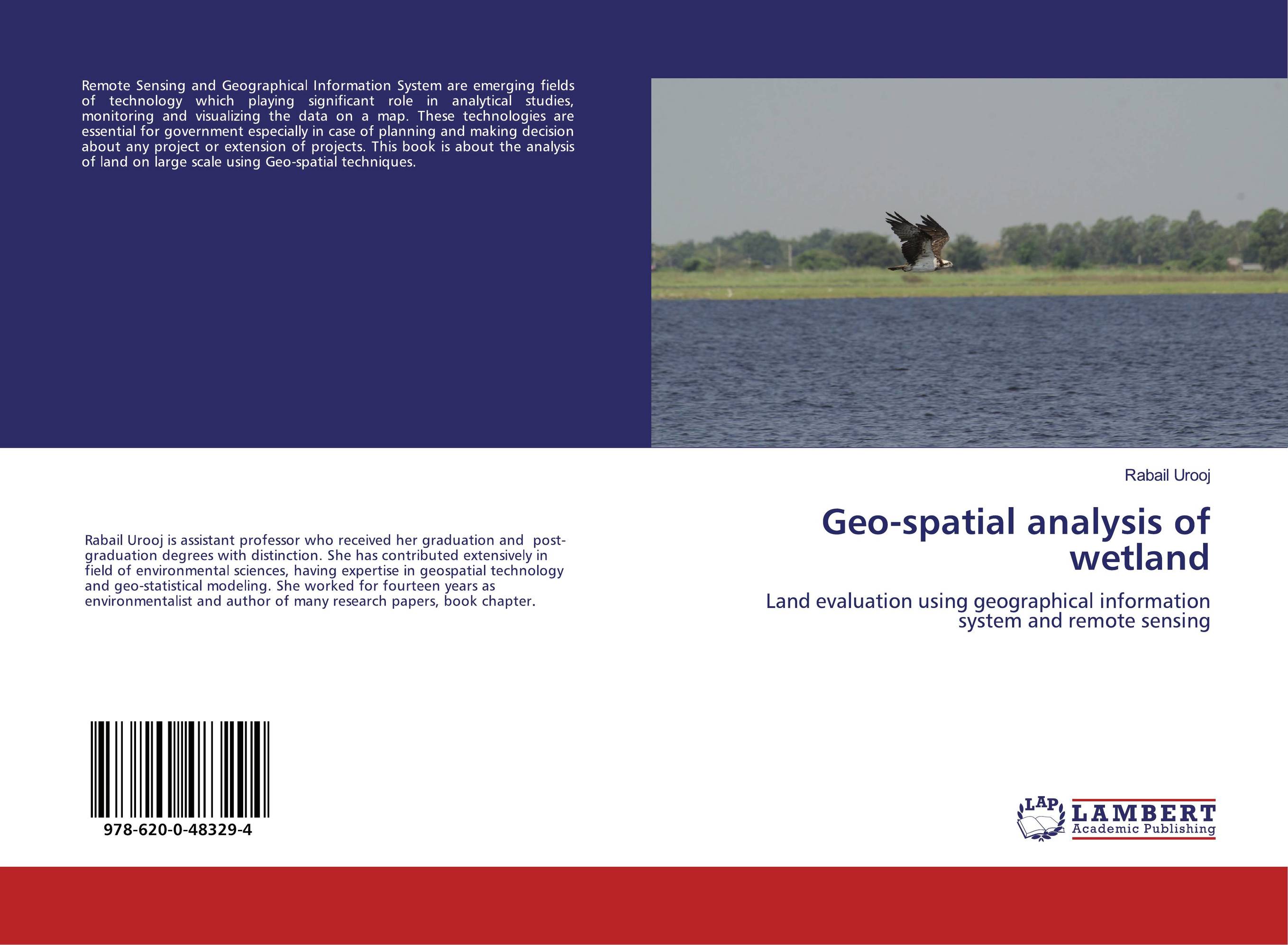 | Отрасли знаний: Науки о Земле Rabail Urooj Geo-spatial analysis of wetland. Land evaluation using geographical information system and remote sensing. 2019 г., 56 стр., мягкий переплет Remote Sensing and Geographical Information System are emerging fields of technology which playing significant role in analytical studies, monitoring and visualizing the data on a map. These technologies are essential for government especially in case of planning and making decision about any project or extension of projects. This book is about... | 23066 тг |
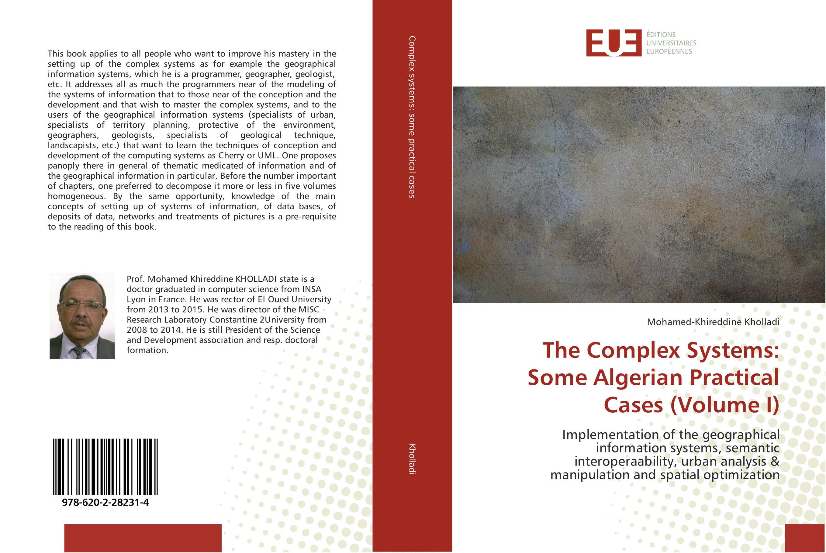 | Отрасли знаний: Точные науки -> Информатика и программирование -> Информационные технологии Mohamed-Khireddine Kholladi The Complex Systems: Some Algerian Practical Cases (Volume I). Implementation of the geographical information systems, semantic interoperaability, urban analysis & manipulation and spatial optimization. 2018 г., 552 стр., мягкий переплет This book applies to all people who want to improve his mastery in the setting up of the complex systems as for example the geographical information systems, which he is a programmer, geographer, geologist, etc. It addresses all as much the programmers near of the modeling of the systems of information that to those near of the conception and the... | 54720 тг |
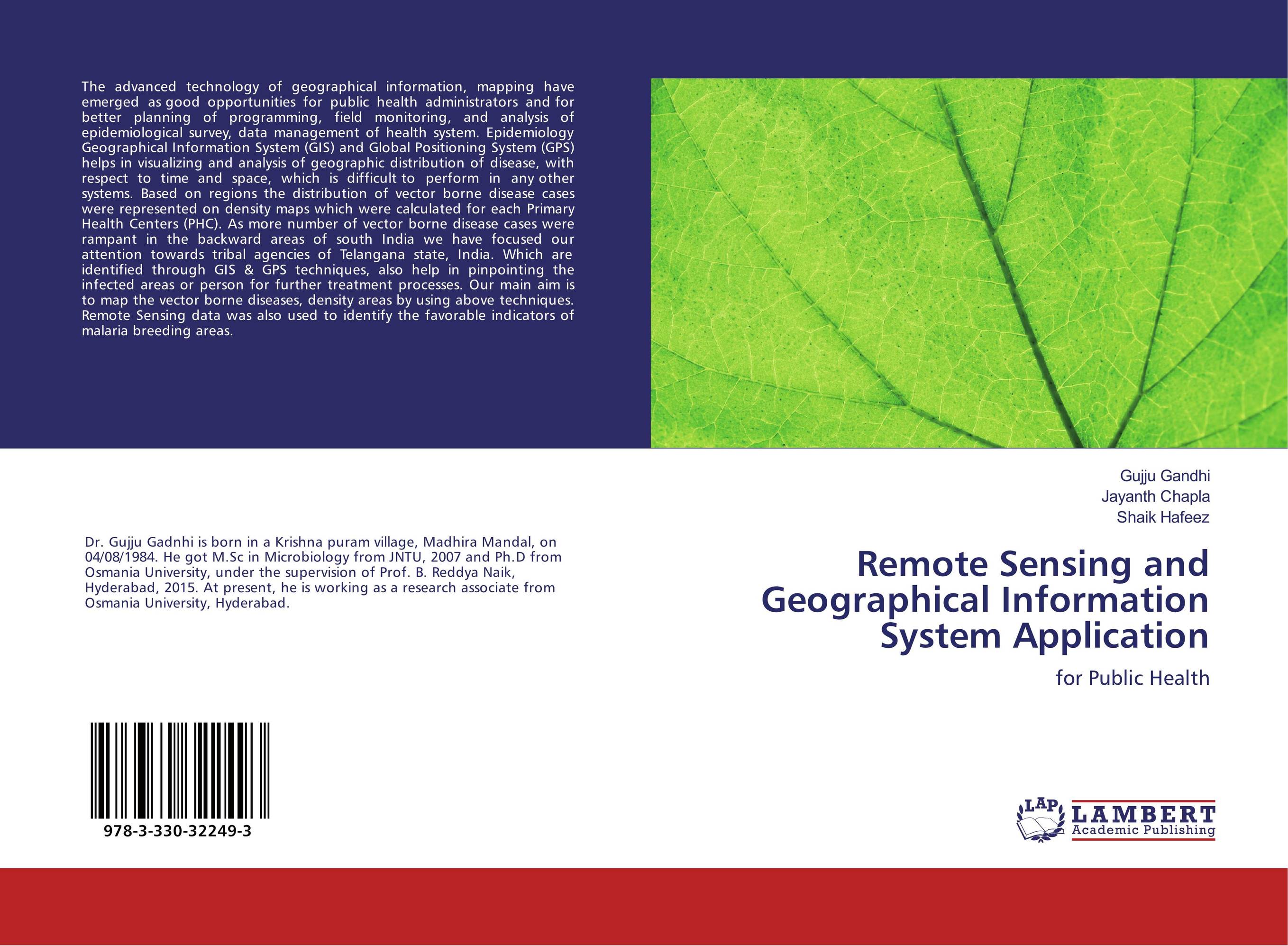 | Отрасли знаний: Точные науки -> Информатика и программирование Gujju Gandhi,Jayanth Chapla and Shaik Hafeez Remote Sensing and Geographical Information System Application. For Public Health. 2017 г., 52 стр., мягкий переплет The advanced technology of geographical information, mapping have emerged as good opportunities for public health administrators and for better planning of programming, field monitoring, and analysis of epidemiological survey, data management of health system. Epidemiology Geographical Information System (GIS) and Global Positioning System (GPS)... | 20988 тг |
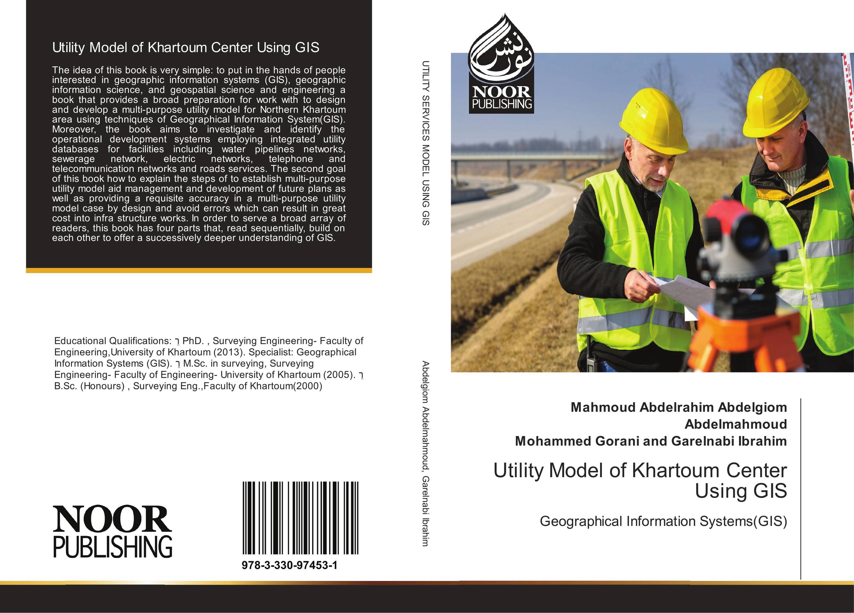 | Сферы деятельности: Предпринимательская деятельность -> Менеджмент Mahmoud Abdelrahim Abdelgiom Abdelmahmoud and Mohammed Gorani and Garelnabi Ibrahim Utility Model of Khartoum Center Using GIS. Geographical Information Systems(GIS). 2017 г., 180 стр., мягкий переплет The idea of this book is very simple: to put in the hands of people interested in geographic information systems (GIS), geographic information science, and geospatial science and engineering a book that provides a broad preparation for work with to design and develop a multi-purpose utility model for Northern Khartoum area using techniques of... | 18759 тг |
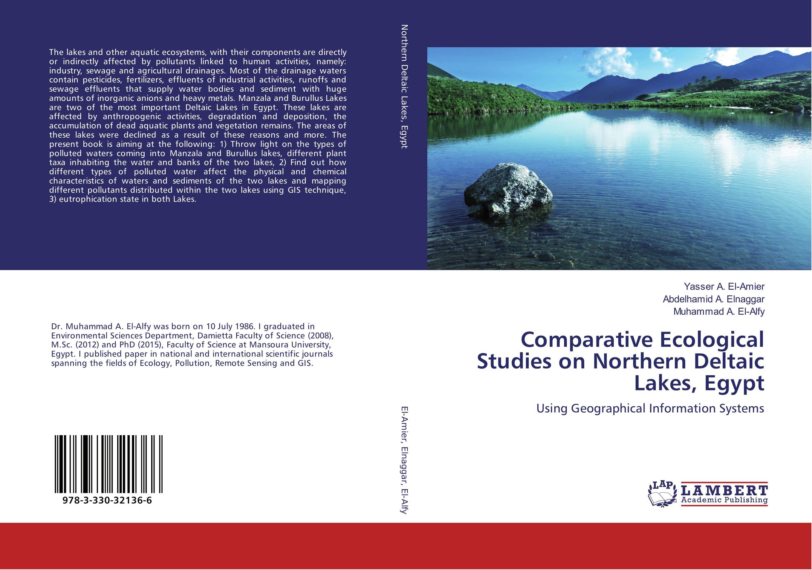 | Отрасли знаний: Естественные науки -> Экология Yasser A. El-Amier,Abdelhamid A. Elnaggar and Muhammad A. El-Alfy Comparative Ecological Studies on Northern Deltaic Lakes, Egypt. Using Geographical Information Systems. 2017 г., 288 стр., мягкий переплет The lakes and other aquatic ecosystems, with their components are directly or indirectly affected by pollutants linked to human activities, namely: industry, sewage and agricultural drainages. Most of the drainage waters contain pesticides, fertilizers, effluents of industrial activities, runoffs and sewage effluents that supply water bodies and... | 48247 тг |
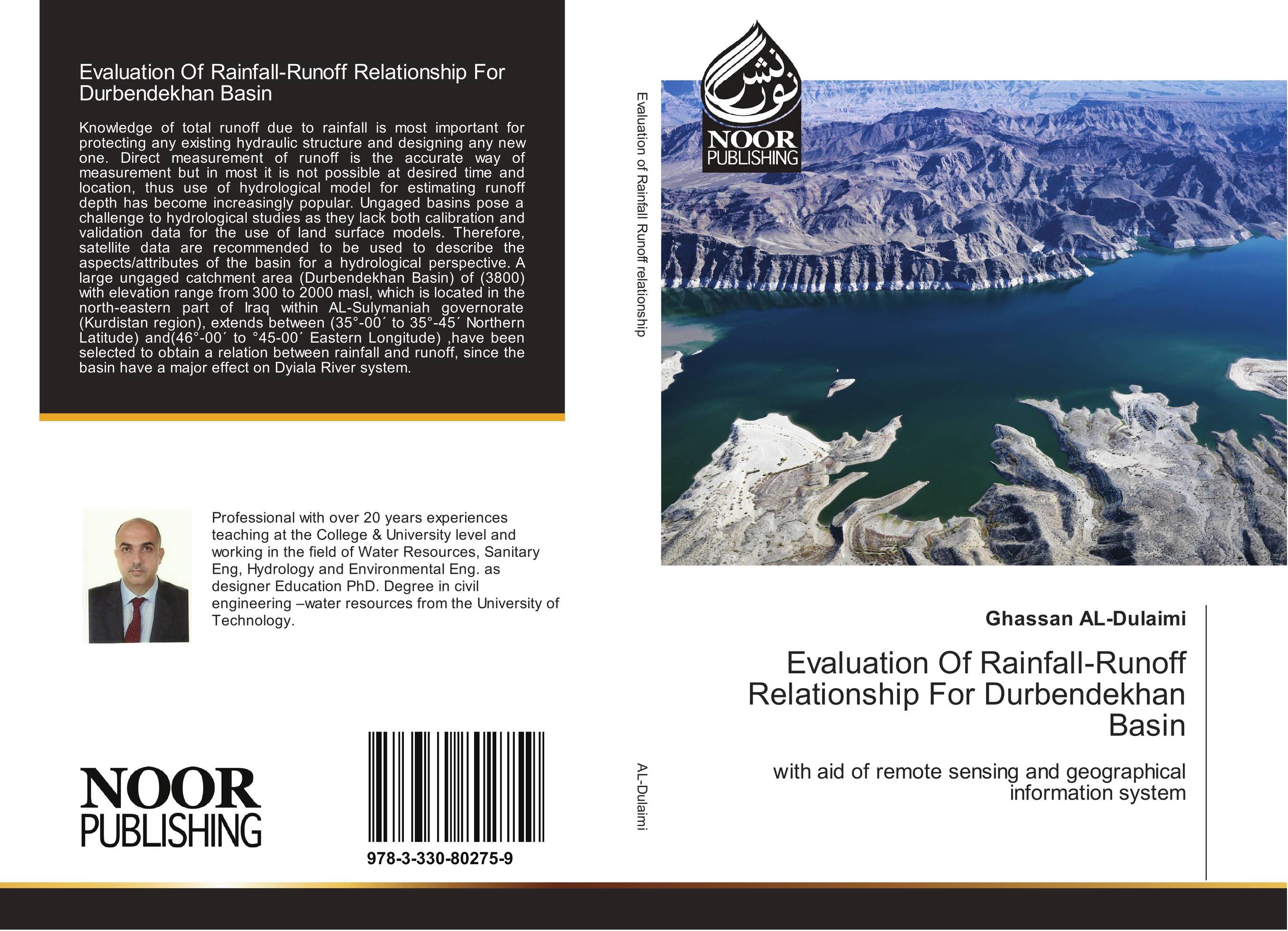 | Отрасли знаний: Общественные науки -> Экономика Ghassan AL-Dulaimi Evaluation Of Rainfall-Runoff Relationship For Durbendekhan Basin. With aid of remote sensing and geographical information system. 2017 г., 140 стр., мягкий переплет Knowledge of total runoff due to rainfall is most important for protecting any existing hydraulic structure and designing any new one. Direct measurement of runoff is the accurate way of measurement but in most it is not possible at desired time and location, thus use of hydrological model for estimating runoff depth has become increasingly... | 33794 тг |
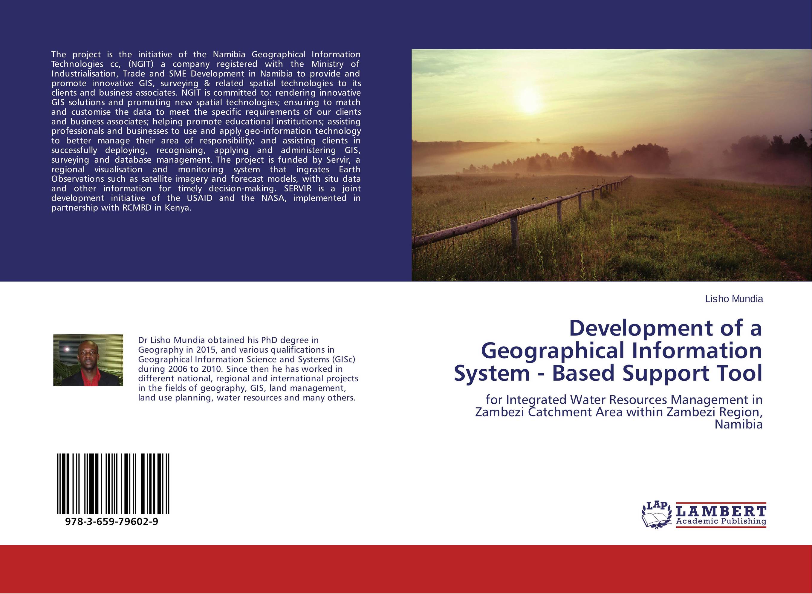 | Отрасли знаний: Науки о Земле -> География Lisho Mundia Development of a Geographical Information System - Based Support Tool. For Integrated Water Resources Management in Zambezi Catchment Area within Zambezi Region, Namibia. 2015 г., 72 стр., мягкий переплет The project is the initiative of the Namibia Geographical Information Technologies cc, (NGIT) a company registered with the Ministry of Industrialisation, Trade and SME Development in Namibia to provide and promote innovative GIS, surveying & related spatial technologies to its clients and business associates. NGIT is committed to: rendering... | 15891 тг |