


| Поиск по каталогу |
|
(строгое соответствие)
|
- Профессиональная
- Научно-популярная
- Художественная
- Публицистика
- Детская
- Искусство
- Хобби, семья, дом
- Спорт
- Путеводители
- Блокноты, тетради, открытки
Geographic Information System (Theory and Practical Manual).

В наличии
| Местонахождение: Алматы | Состояние экземпляра: новый |

Бумажная
версия
версия
Автор: Ayele Behaylu,Abineh Tilahun and Tahir Hussain
ISBN: 9783659717888
Год издания: 2015
Формат книги: 60×90/16 (145×215 мм)
Количество страниц: 128
Издательство: LAP LAMBERT Academic Publishing
Цена: 36272 тг
Положить в корзину
| Способы доставки в город Алматы * комплектация (срок до отгрузки) не более 2 рабочих дней |
| Самовывоз из города Алматы (пункты самовывоза партнёра CDEK) |
| Курьерская доставка CDEK из города Москва |
| Доставка Почтой России из города Москва |
Аннотация: GIS is a very popular and emerging computer assisted technology. The use of this technology is increasing day by day in different disciplines like Agriculture, Mining, Fishing, Geology, Water Resource Management, Defense and what not. GIS can handle enormous data with ease. It is possible to have different layers of different variables in one map at a time. With this technology, it has become very easy to analyze the different earth features. In GIS, there are different soft-wares which are very user friendly.
Ключевые слова: Data, GIS, GPS, Hardware, image processing, Remote sensing, Software, photogrametry
Похожие издания
 | Отрасли знаний: Науки о Земле -> География SUNDARESAN KALAPPAN Think About Geographic Information System.. 1905 г., 220 стр., мягкий переплет A geographic information system (GIS) is a computer system for capturing, storing, querying, analyzing, and displaying geospatial data. A GIS is a system of hardware, software and procedures to facilitate the management, manipulation, analysis, modelling, representation and display of georeferenced data to solve complex problems regarding planning... | 46800 тг |
 | Отрасли знаний: Точные науки -> Математика -> Геометрия Sahar I. M. Abd Elrahman Capabilities of Geographic Information Systems in Creating Databases. Take Advantages of the Capabilities of GIS in Creating Databases in Detail from the Beginning, Step by Step. 1905 г., 120 стр., мягкий переплет This book deals in detail with how to take advantage of Geographic Information Systems in creating a database (the creation of a database for an educational institution was taken as an example, represented by the College of Technology, Sudan University of Science and Technology) from the beginning, step by step using the ArcGIS 10.3 program, as... | 32599 тг |
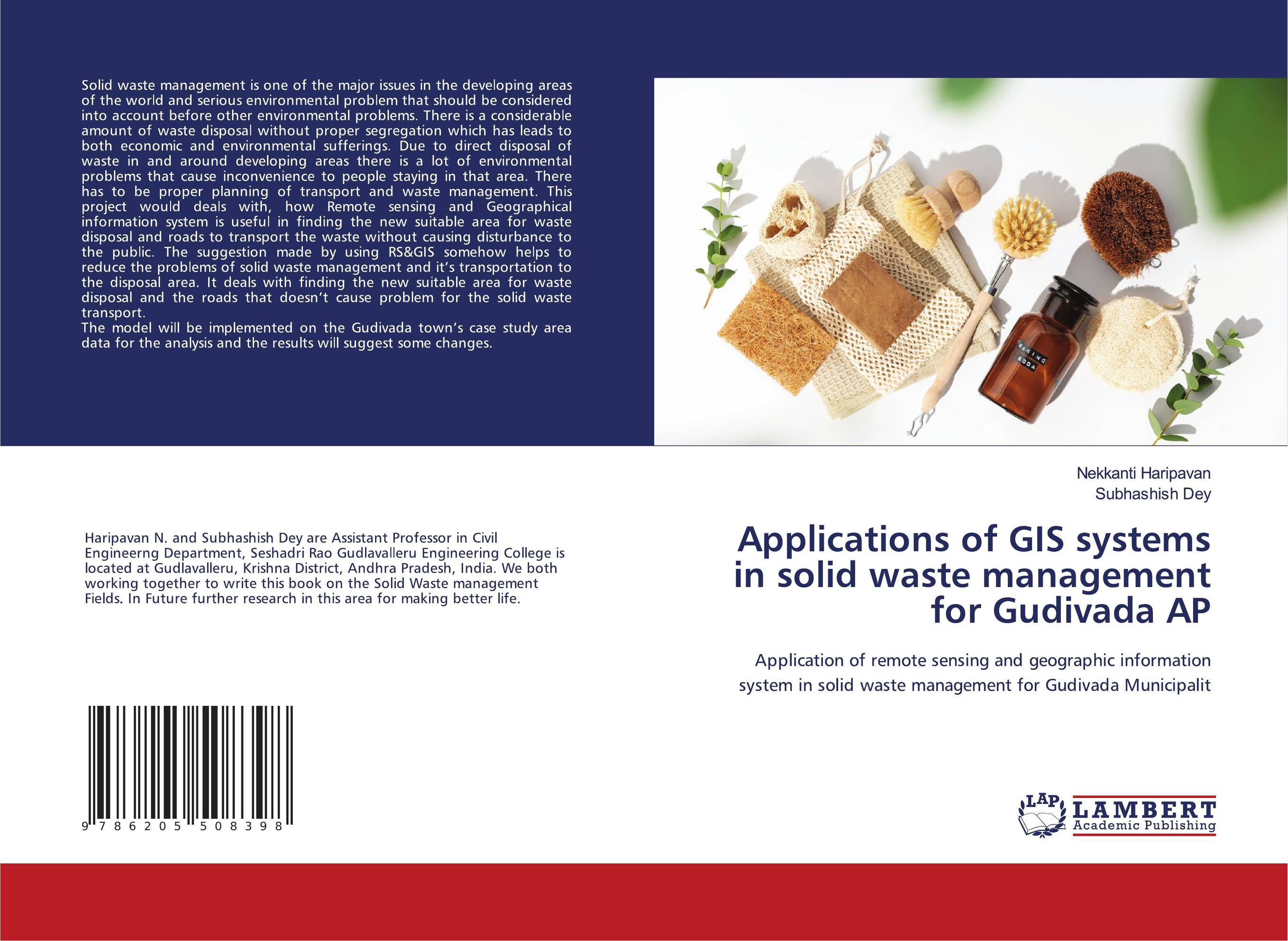 | Отрасли знаний: Точные науки -> Математика -> Анализ Nekkanti Haripavan and Subhashish Dey Applications of GIS systems in solid waste management for Gudivada AP. Application of remote sensing and geographic information system in solid waste management for Gudivada Municipalit. 1905 г., 80 стр., мягкий переплет Solid waste management is one of the major issues in the developing areas of the world and serious environmental problem that should be considered into account before other environmental problems. There is a considerable amount of waste disposal without proper segregation which has leads to both economic and environmental sufferings. Due to direct... | 25855 тг |
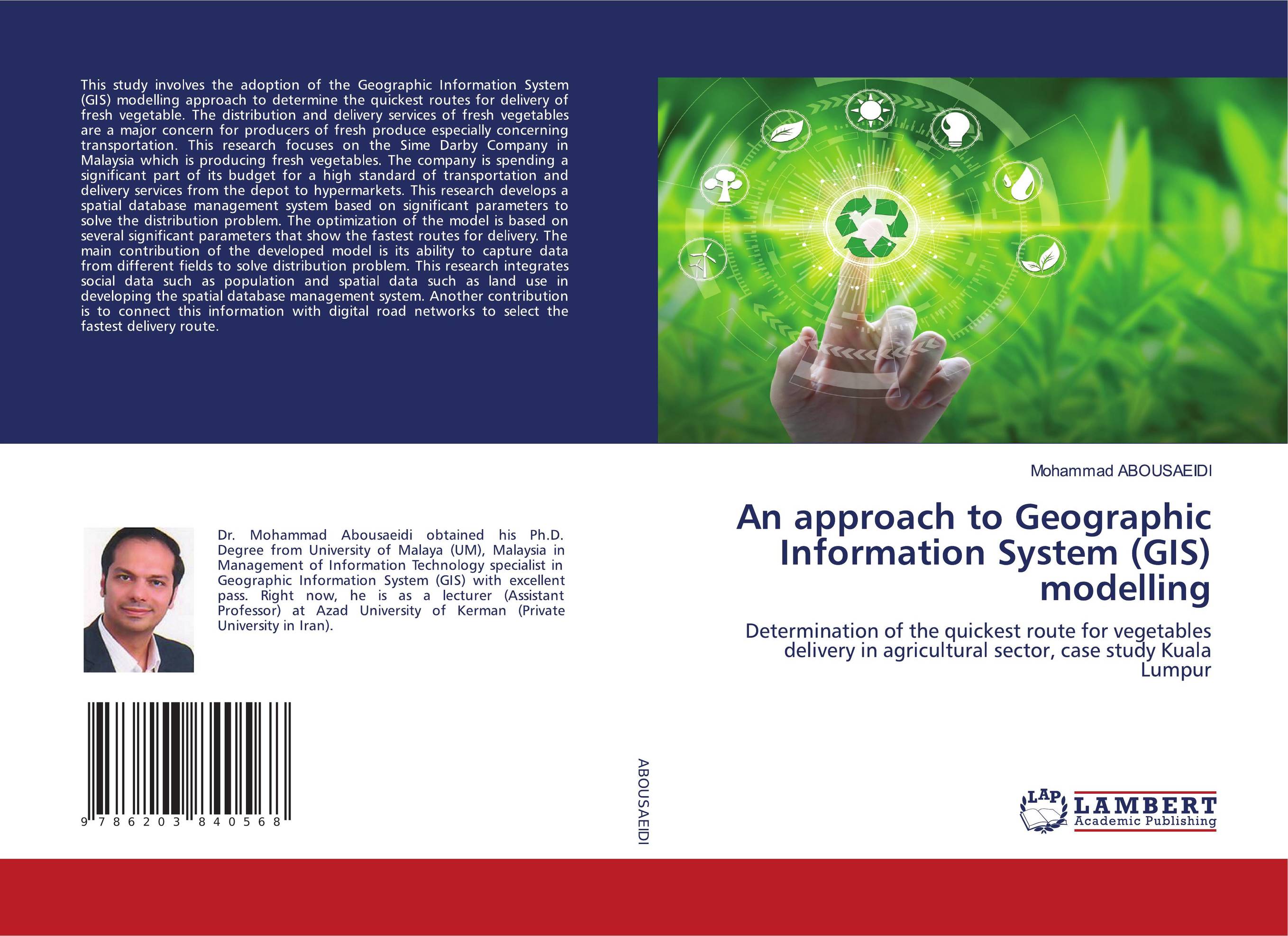 | Отрасли знаний: Наука в целом Mohammad Abousaeidi An approach to Geographic Information System (GIS) modelling. Determination of the quickest route for vegetables delivery in agricultural sector, case study Kuala Lumpur. 1905 г., 108 стр., мягкий переплет This study involves the adoption of the Geographic Information System (GIS) modelling approach to determine the quickest routes for delivery of fresh vegetable. The distribution and delivery services of fresh vegetables are a major concern for producers of fresh produce especially concerning transportation. This research focuses on the Sime Darby... | 32173 тг |
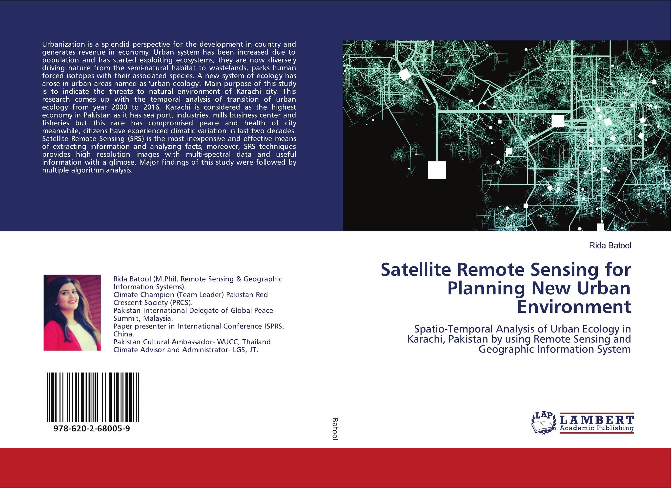 | Отрасли знаний: Естественные науки -> Экология Rida Batool Satellite Remote Sensing for Planning New Urban Environment. Spatio-Temporal Analysis of Urban Ecology in Karachi, Pakistan by using Remote Sensing and Geographic Information System. 2020 г., 108 стр., мягкий переплет Urbanization is a splendid perspective for the development in country and generates revenue in economy. Urban system has been increased due to population and has started exploiting ecosystems, they are now diversely driving nature from the semi-natural habitat to wastelands, parks human forced isotopes with their associated species. A new system... | 32173 тг |
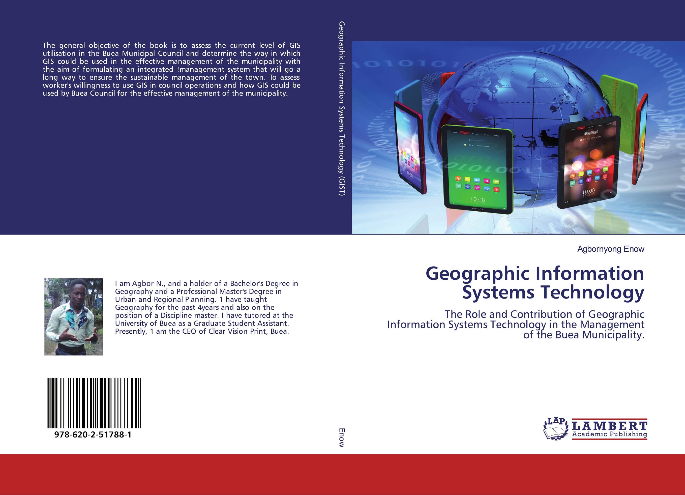 | Отрасли знаний: Общественные науки -> Экономика Agbornyong Enow Geographic Information Systems Technology. The Role and Contribution of Geographic Information Systems Technology in the Management of the Buea Municipality.. 2020 г., 140 стр., мягкий переплет The general objective of the book is to assess the current level of GIS utilisation in the Buea Municipal Council and determine the way in which GIS could be used in the effective management of the municipality with the aim of formulating an integrated !management system that will go a long way to ensure the sustainable management of the town. To... | 36698 тг |
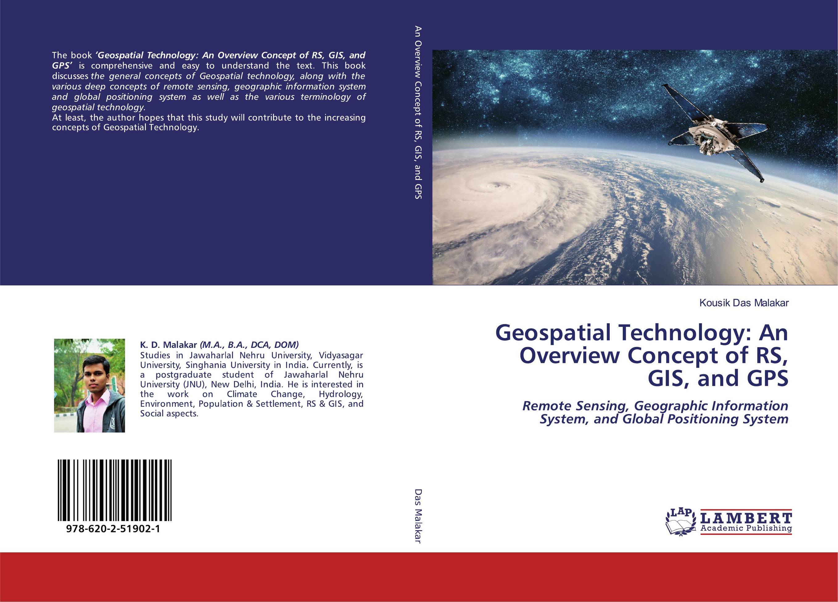 | Отрасли знаний: Науки о Земле -> География Kousik Das Malakar Geospatial Technology: An Overview Concept of RS, GIS, and GPS. Remote Sensing, Geographic Information System, and Global Positioning System. 2020 г., 168 стр., мягкий переплет The book ‘Geospatial Technology: An Overview Concept of RS, GIS, and GPS’ is comprehensive and easy to understand the text. This book discusses the general concepts of Geospatial technology, along with the various deep concepts of remote sensing, geographic information system and global positioning system as well as the various terminology of... | 42533 тг |
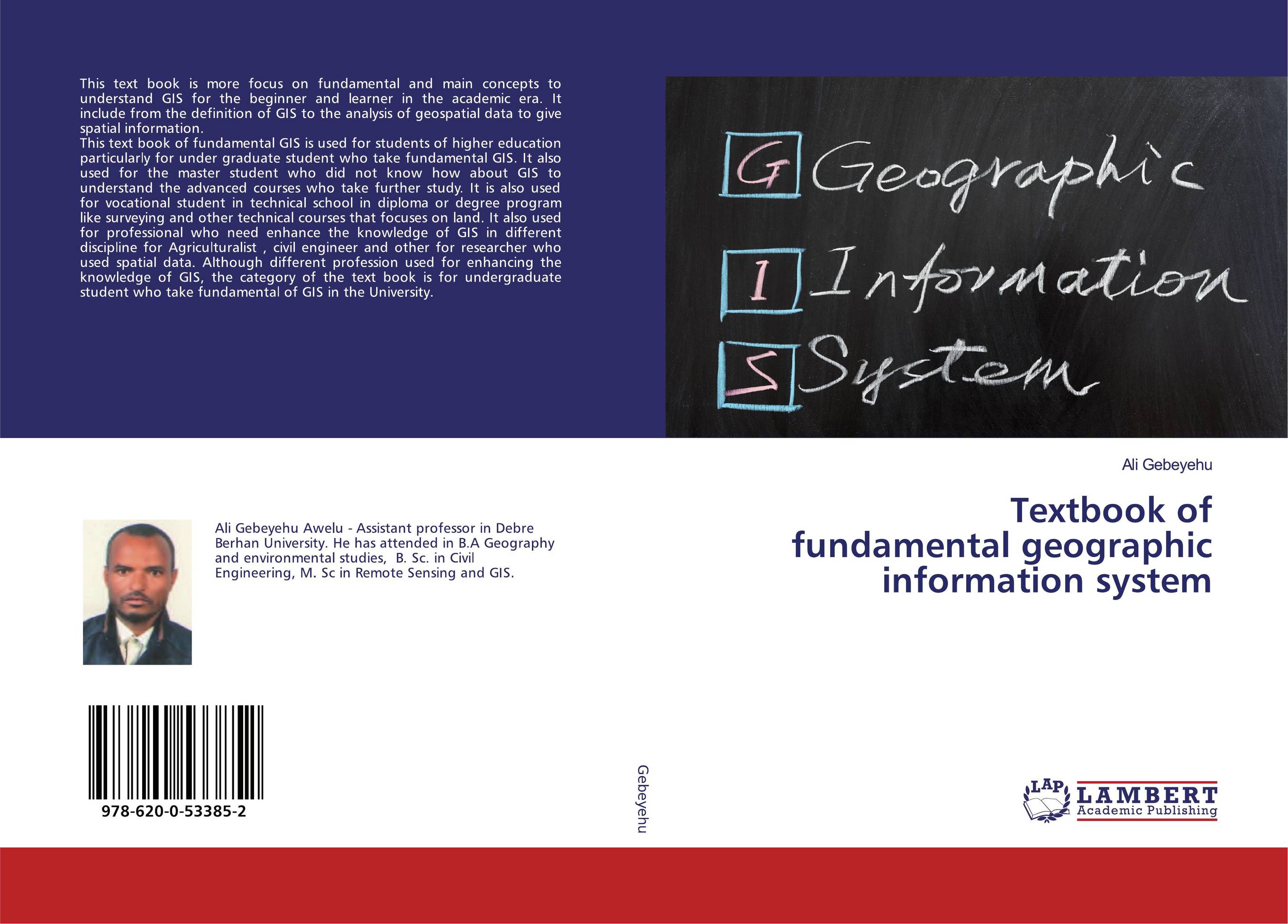 | Отрасли знаний: Науки о Земле Ali Gebeyehu Textbook of fundamental geographic information system. . 2020 г., 176 стр., мягкий переплет This text book is more focus on fundamental and main concepts to understand GIS for the beginner and learner in the academic era. It include from the definition of GIS to the analysis of geospatial data to give spatial information. This text book of fundamental GIS is used for students of higher education particularly for under graduate student... | 42817 тг |
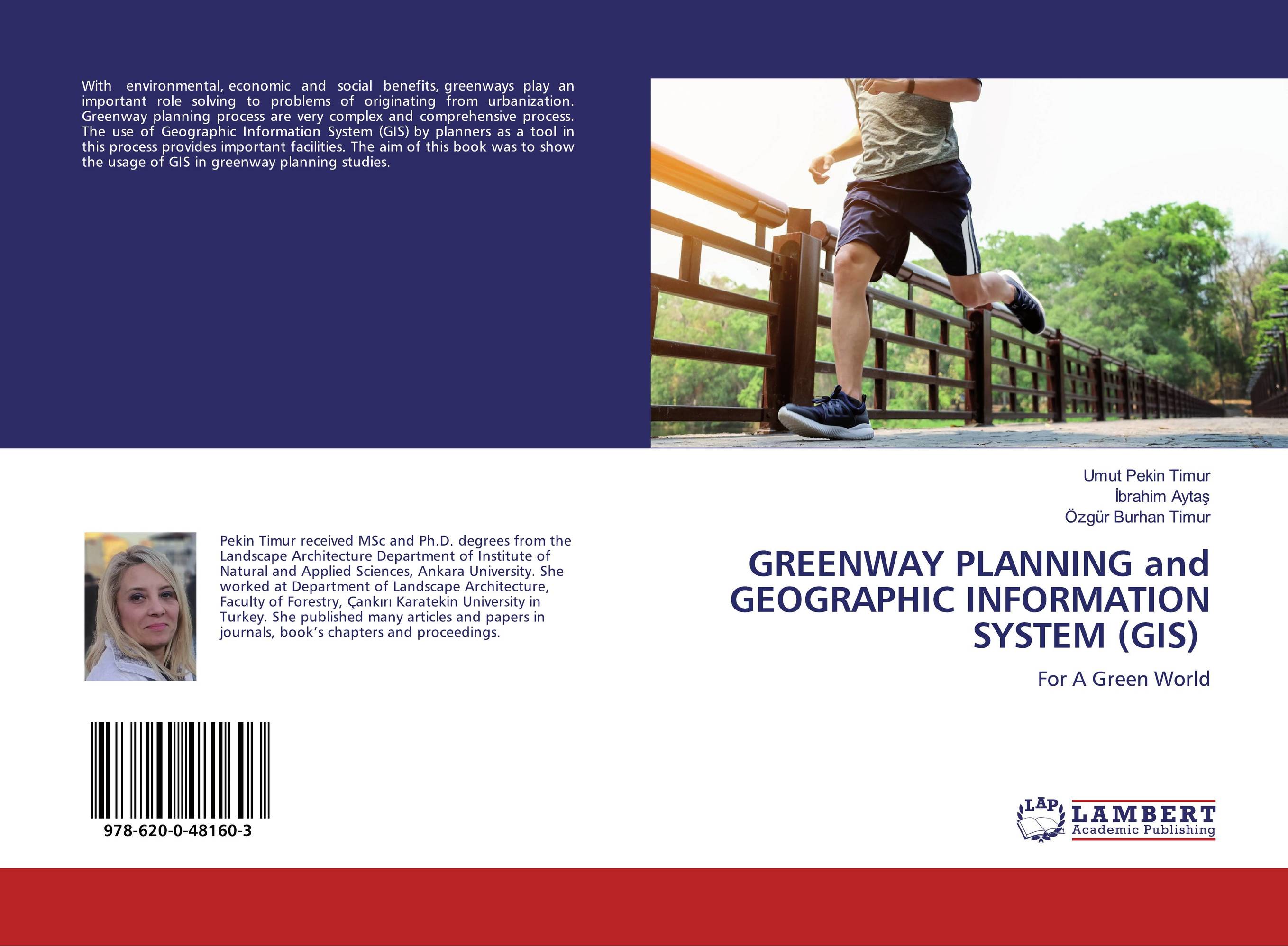 | Отрасли знаний: Науки о Земле Umut Pekin Timur,?brahim Ayta? and ?zg?r Burhan Timur GREENWAY PLANNING and GEOGRAPHIC INFORMATION SYSTEM (GIS). For A Green World. 2019 г., 52 стр., мягкий переплет With environmental, economic and social benefits, greenways play an important role solving to problems of originating from urbanization. Greenway planning process are very complex and comprehensive process. The use of Geographic Information System (GIS) by planners as a tool in this process provides important facilities. The aim of this book was... | 19537 тг |
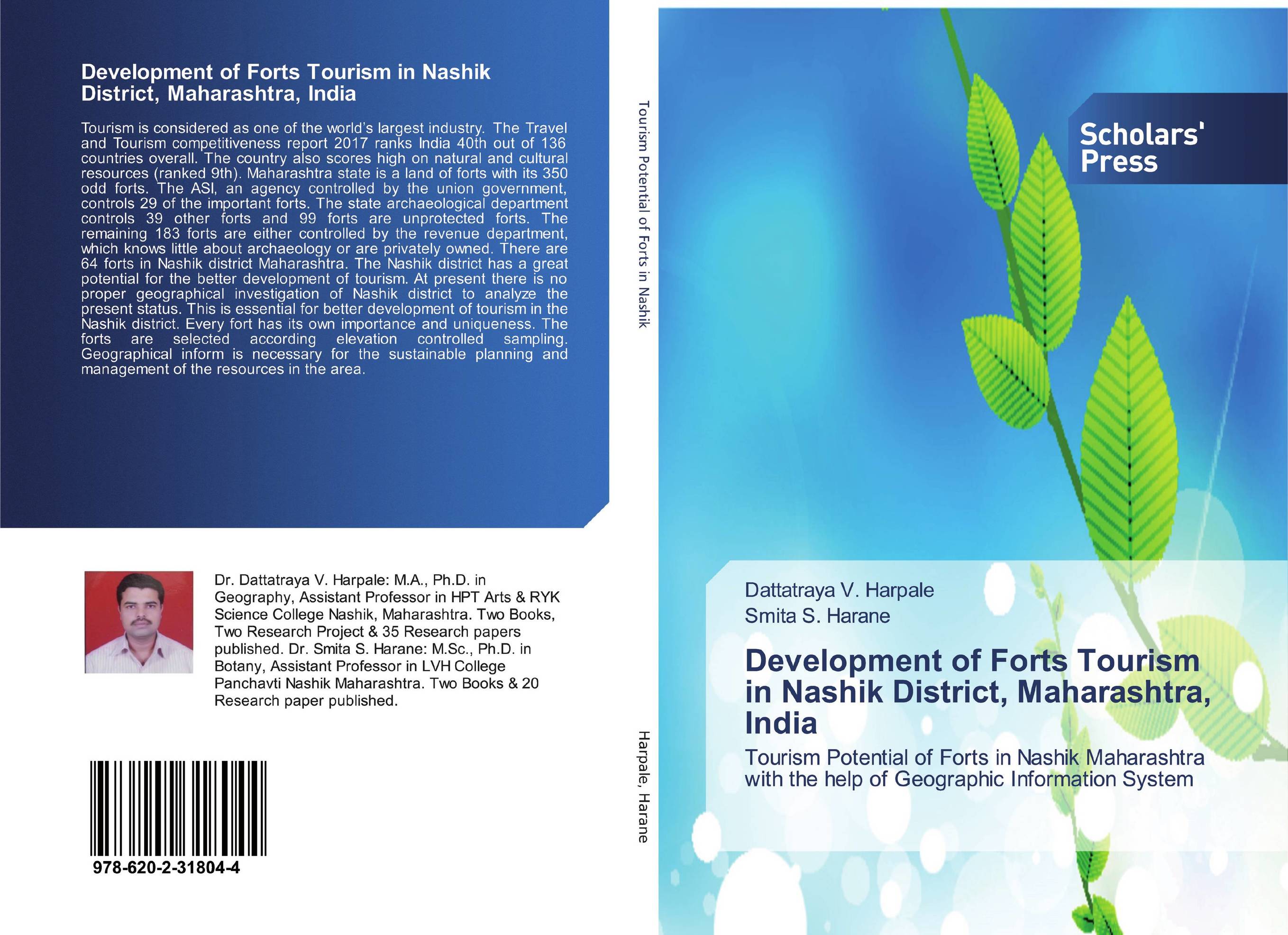 | Отрасли знаний: Науки о Земле -> География Dattatraya V. Harpale and Smita S. Harane Development of Forts Tourism in Nashik District, Maharashtra, India. Tourism Potential of Forts in Nashik Maharashtra with the help of Geographic Information System. 2018 г., 116 стр., мягкий переплет Tourism is considered as one of the world’s largest industry. The Travel and Tourism competitiveness report 2017 ranks India 40th out of 136 countries overall. The country also scores high on natural and cultural resources (ranked 9th). Maharashtra state is a land of forts with its 350 odd forts. The ASI, an agency controlled by the union... | 34878 тг |
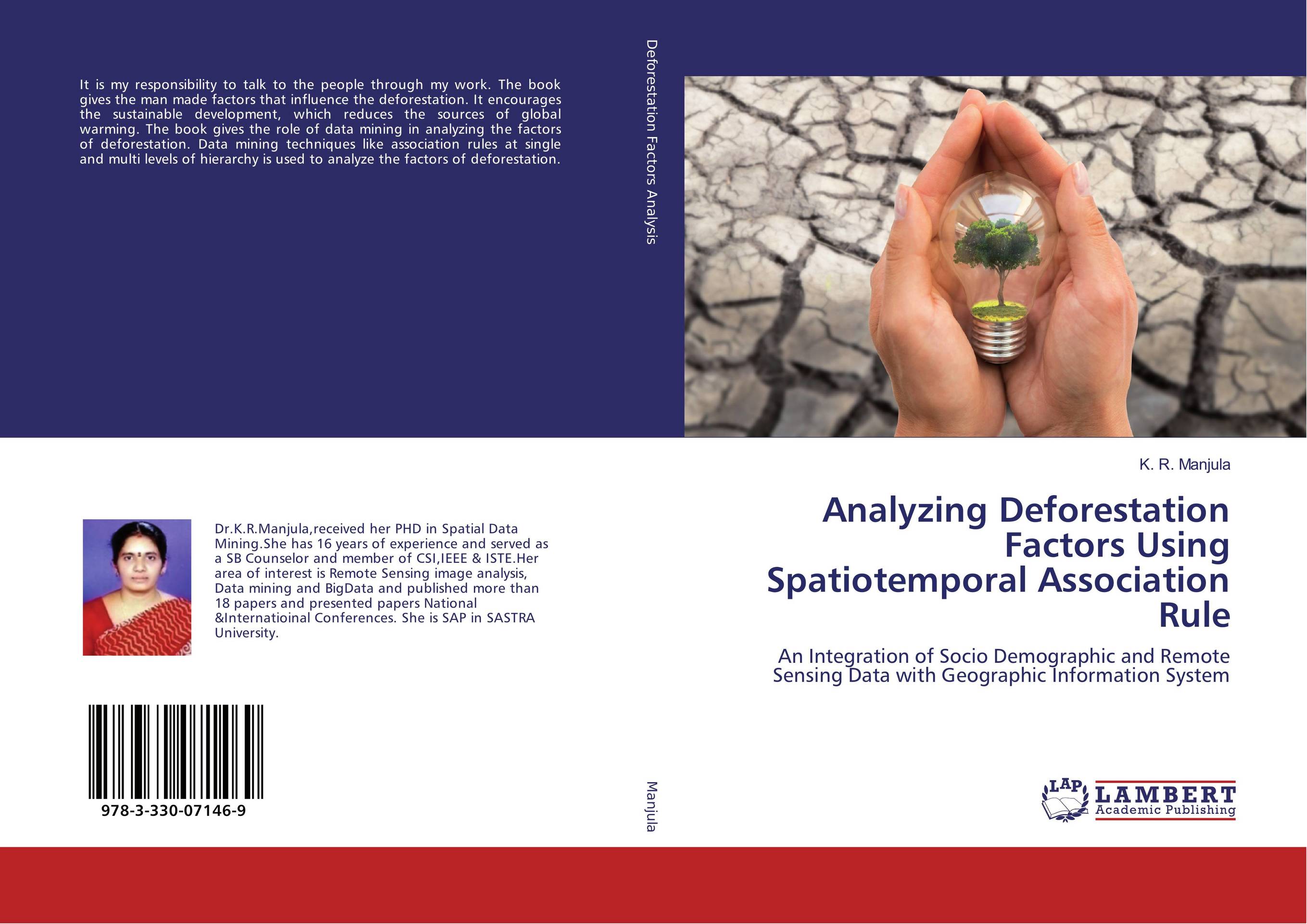 | Отрасли знаний: Науки о Земле K. R. Manjula Analyzing Deforestation Factors Using Spatiotemporal Association Rule. An Integration of Socio Demographic and Remote Sensing Data with Geographic Information System. 2017 г., 256 стр., мягкий переплет It is my responsibility to talk to the people through my work. The book gives the man made factors that influence the deforestation. It encourages the sustainable development, which reduces the sources of global warming. The book gives the role of data mining in analyzing the factors of deforestation. Data mining techniques like association rules... | 47110 тг |
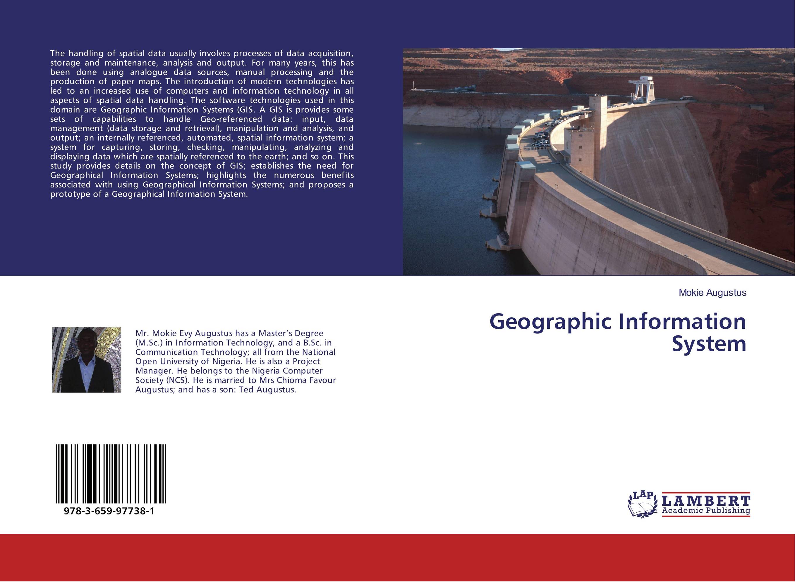 | Отрасли знаний: Точные науки -> Информатика и программирование Mokie Augustus Geographic Information System. . 2017 г., 64 стр., мягкий переплет The handling of spatial data usually involves processes of data acquisition, storage and maintenance, analysis and output. For many years, this has been done using analogue data sources, manual processing and the production of paper maps. The introduction of modern technologies has led to an increased use of computers and information technology in... | 21414 тг |
 | Сферы деятельности: Образование Meisam Siamidoudaran,Ali Kia and Mehdi Siamidodaran Emergency Service Location Study. Using Quantum Geographic Information System software and Python Programming Language. 2016 г., 76 стр., мягкий переплет The aim of this study is to identify suitable locations for a fire station which has been achieved through applying the Quantum Geographic Information Systems (QGIS) software and Python Programming Language. In this book, a detailed study was conducted for the city of Kyrenia in Cyprus to identify links and nodes, travel times, and superimpose... | 23777 тг |
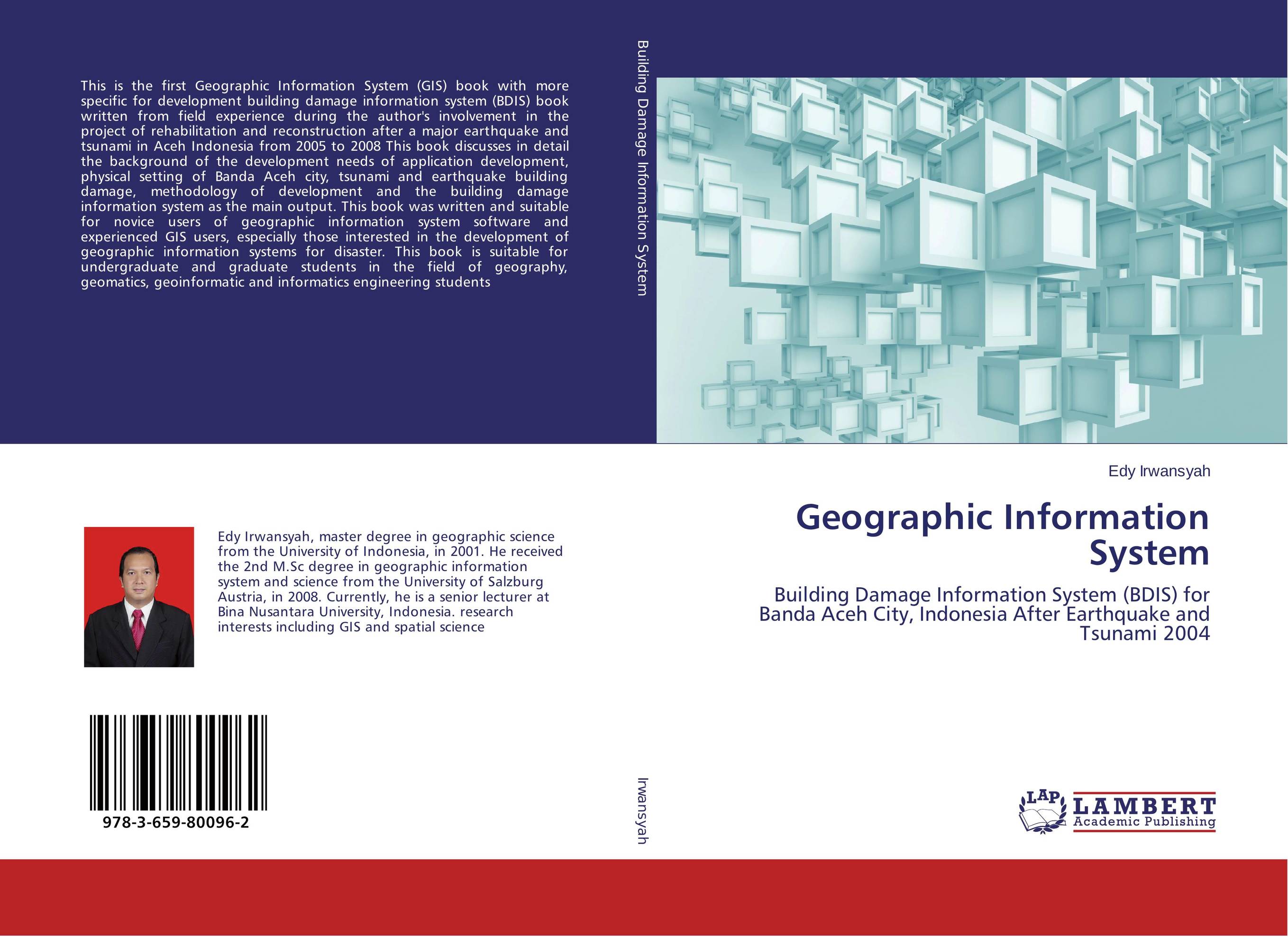 | Отрасли знаний: Общественные науки -> Юриспруденция Edy Irwansyah Geographic Information System. Building Damage Information System (BDIS) for Banda Aceh City, Indonesia After Earthquake and Tsunami 2004. 2015 г., 100 стр., мягкий переплет This is the first Geographic Information System (GIS) book with more specific for development building damage information system (BDIS) book written from field experience during the author's involvement in the project of rehabilitation and reconstruction after a major earthquake and tsunami in Aceh Indonesia from 2005 to 2008 This book discusses... | 24629 тг |
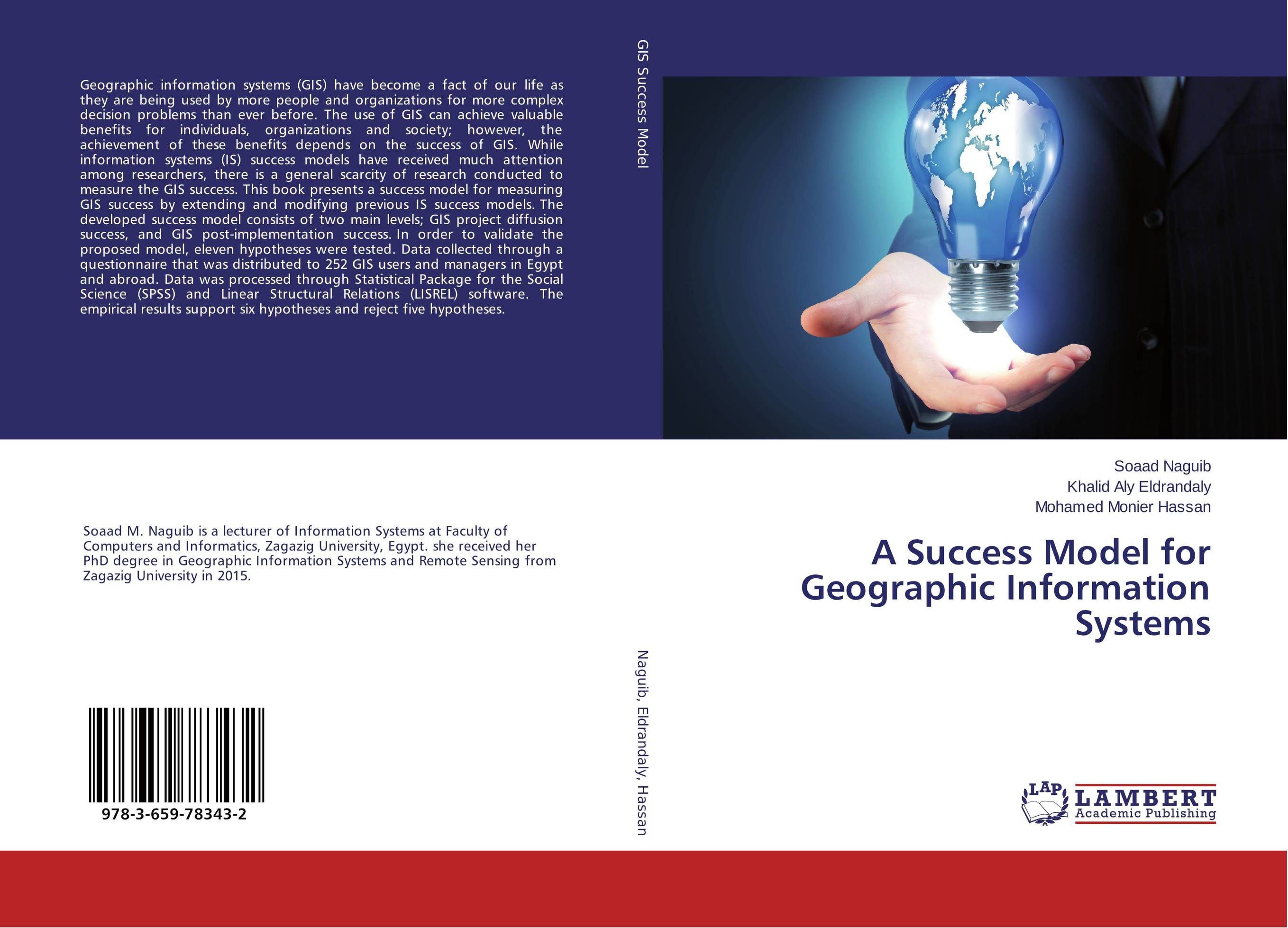 | Отрасли знаний: Точные науки -> Информатика и программирование -> Информационные технологии Soaad Naguib,Khalid Aly Eldrandaly and Mohamed Monier Hassan A Success Model for Geographic Information Systems. . 2015 г., 152 стр., мягкий переплет Geographic information systems (GIS) have become a fact of our life as they are being used by more people and organizations for more complex decision problems than ever before. The use of GIS can achieve valuable benefits for individuals, organizations and society; however, the achievement of these benefits depends on the success of GIS. While... | 37125 тг |
 | Отрасли знаний: Естественные науки -> Экология Jonathan Townsend Identifying Important Habitat Features for Bat Conservation. Using Acoustic Sampling and Geographic Information Systems. 2015 г., 56 стр., мягкий переплет Bat populations worldwide have been under pressure for decades due to habitat loss, pollution and disease. Recently, a fungus causing White Nose Syndrome has killed millions of bats in the United States. In order to improve bat conservation efforts, mobile ultrasonic surveys were conducted along two transects in Chautauqua County, NY during the... | 15323 тг |
 | Отрасли знаний: Науки о Земле Alba Gallo and Claudio Bini Mapping environmental data with a Geographic Information System. The influence of land use changes on hydrodynamics in the Muson river watershed (TV), in relation to climate change. 2015 г., 52 стр., мягкий переплет Climate change is a current issue: temperature and rainfall rise, glaciers and snow melt and the global average sea level is rising. This causes an increase of natural hazards (such as flooding risk and landslides), that could become more frequent. In this context, resident population should adapt to global environmental and climate change. The... | 20988 тг |
 | Отрасли знаний: Науки о Земле Maha Malaika,Abdulwahid Sulaiman and Houssein Hamid Efficient Distribution of Police Points in Duhok City Using GIS. A City Planning Study Applying Geographic Information Systems. 2014 г., 84 стр., мягкий переплет This research is a result of joint thorough work of the team of researchers, Maha Malaika a Phd assisstant professor as a supervisor, Abdulwahid Sulaiman as a researcher and Houssien Hamid as a GIS expert, in the School of Spatial Planning at the University of Duhok. The challenge was to solve one the urgent problems Duhok city in north Kurdistan... | 18737 тг |
 | Отрасли знаний: Точные науки -> Информатика и программирование Asma Thamir Ibraheem,Afrah Mekki Daham and Zina Adil Najeeb Architectural Geographic Information Systems. . 2014 г., 120 стр., мягкий переплет Digital close range photogrammetry has been successfully applied (for measurement, producing a large scale maps and 3D modeling. in many applications such as archaeology, architecture, industrial measurement and animations. One of the important current developments in digital close range photogrammetric systems is the full automation of the... | 21952 тг |
 | Отрасли экономики: Промышленность в целом Judith Mbau,Moses Nyangito and Charles Gachene Land use and land cover change analysis. Linking local communities to land use and land cover changes using Participatory Geographic Information Systems(PGIS). 2013 г., 96 стр., мягкий переплет Land use and land cover changes are important processes that influence the dynamics of human-wildlife conflicts. Effective management of human-wildlife conflicts requires the participation of local communities and other stakeholders. However, local communities need to identify and understand resource use change and their role in the process, so as... | 29327 тг |
 | Отрасли экономики: Промышленность в целом Umme Kalsoom Performance Evaluation of Canal Irrigation System in Rice-Wheat Zone. Use of Geographic Information System and RS Technology for Evaluation of Canal Performance in Rice-Wheat Cropping Zone. 2013 г., 168 стр., мягкий переплет The book evaluate the performance of canal irrigation system by using special scientific tools like Remote Sensing and Geographical Information System, so that proper measurements could be taken for the sustainable agriculture and water management. Different performance evaluation parameters had been calculated.The purposed data was gathered from... | 39144 тг |