


| Поиск по каталогу |
|
(строгое соответствие)
|
- Профессиональная
- Научно-популярная
- Художественная
- Публицистика
- Детская
- Искусство
- Хобби, семья, дом
- Спорт
- Путеводители
- Блокноты, тетради, открытки
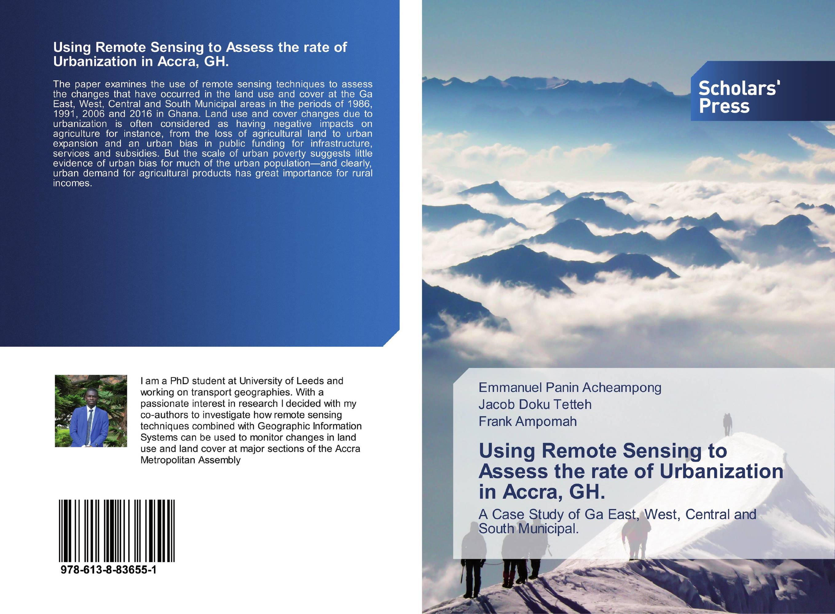
Using Remote Sensing to Assess the rate of Urbanization in Accra, GH.. A Case Study of Ga East, West, Central and South Municipal.
В наличии
| Местонахождение: Алматы | Состояние экземпляра: новый |

Бумажная
версия
версия
Автор: Emmanuel Panin Acheampong,Jacob Doku Tetteh and Frank Ampomah
ISBN: 9786138836551
Год издания: 2019
Формат книги: 60×90/16 (145×215 мм)
Количество страниц: 52
Издательство: Scholars' Press
Цена: 25828 тг
Положить в корзину
| Способы доставки в город Алматы * комплектация (срок до отгрузки) не более 2 рабочих дней |
| Самовывоз из города Алматы (пункты самовывоза партнёра CDEK) |
| Курьерская доставка CDEK из города Москва |
| Доставка Почтой России из города Москва |
Аннотация: The paper examines the use of remote sensing techniques to assess the changes that have occurred in the land use and cover at the Ga East, West, Central and South Municipal areas in the periods of 1986, 1991, 2006 and 2016 in Ghana. Land use and cover changes due to urbanization is often considered as having negative impacts on agriculture for instance, from the loss of agricultural land to urban expansion and an urban bias in public funding for infrastructure, services and subsidies. But the scale of urban poverty suggests little evidence of urban bias for much of the urban population—and clearly, urban demand for agricultural products has great importance for rural incomes.
Ключевые слова: Remote Sensing, images, Radiometric, Geometric, Supervised Classification, Landmark
Похожие издания
 | Отрасли знаний: Науки о Земле Ali Khalid Abbas Al-Ali and Alaa M. Atiaa Al-Abadi Gully Erosion susceptibility mapping of Ali Al-Gharbi District. North-East of Missan Governorate, Southern of Iraq, Using Remote Sensing and GIS. 1905 г., 152 стр., мягкий переплет This work aims to evaluate the predictive capability of three bivariate statistical models, namely information value, frequency ratio, and evidential belief functions, in gully erosion susceptibility mapping in northeastern Maysan Governorate (Ali AlGharbi District) in southern Iraq. The gully inventory map, consisting of 21 gullies of different... | 24540 тг |
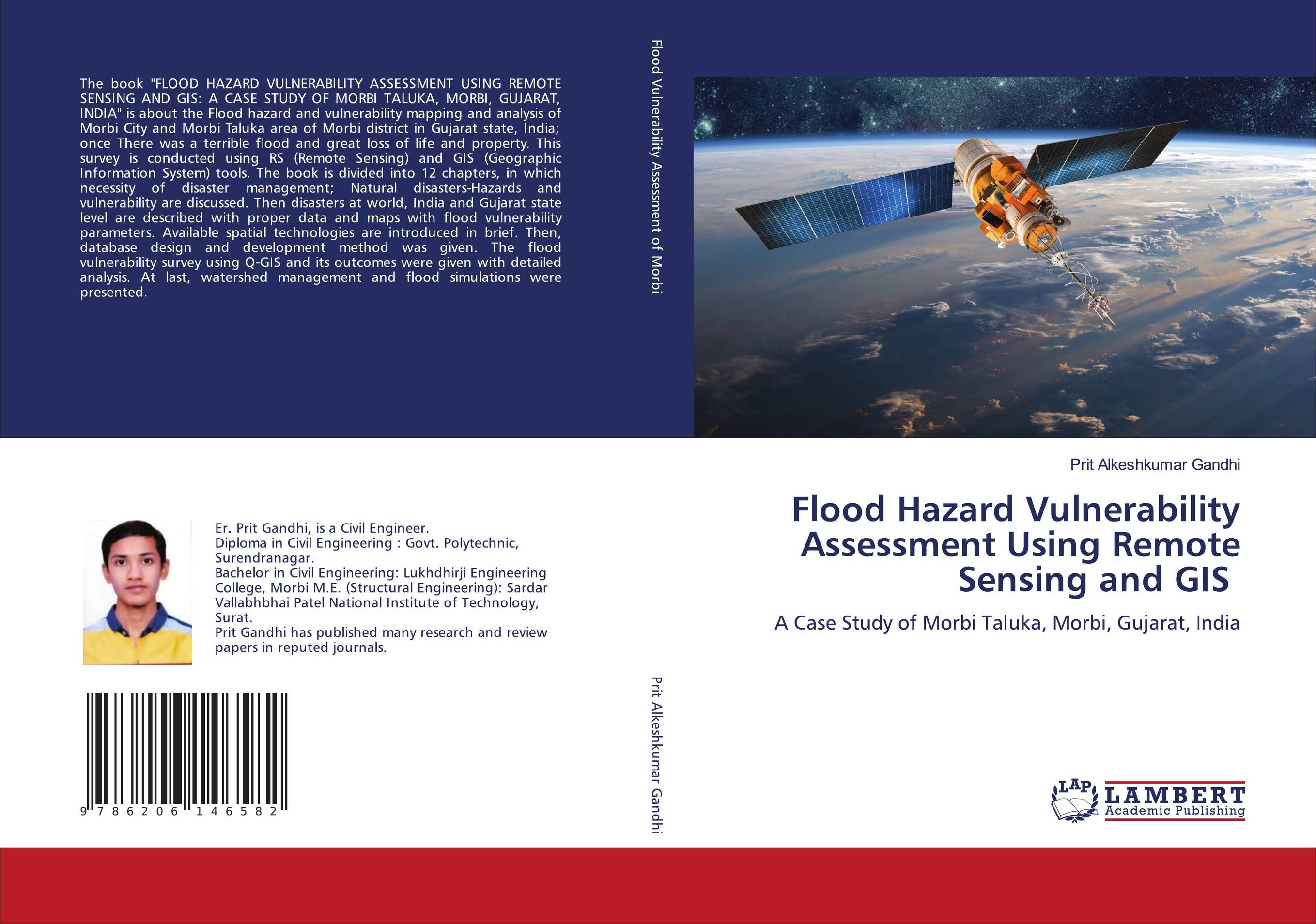 | Отрасли экономики: Промышленность в целом Prit Alkeshkumar Gandhi Flood Hazard Vulnerability Assessment Using Remote Sensing and GIS. A Case Study of Morbi Taluka, Morbi, Gujarat, India. 1905 г., 292 стр., мягкий переплет The book "FLOOD HAZARD VULNERABILITY ASSESSMENT USING REMOTE SENSING AND GIS: A CASE STUDY OF MORBI TALUKA, MORBI, GUJARAT, INDIA" is about the Flood hazard and vulnerability mapping and analysis of Morbi City and Morbi Taluka area of Morbi district in Gujarat state, India; once There was a terrible flood and great loss of life and... | 56617 тг |
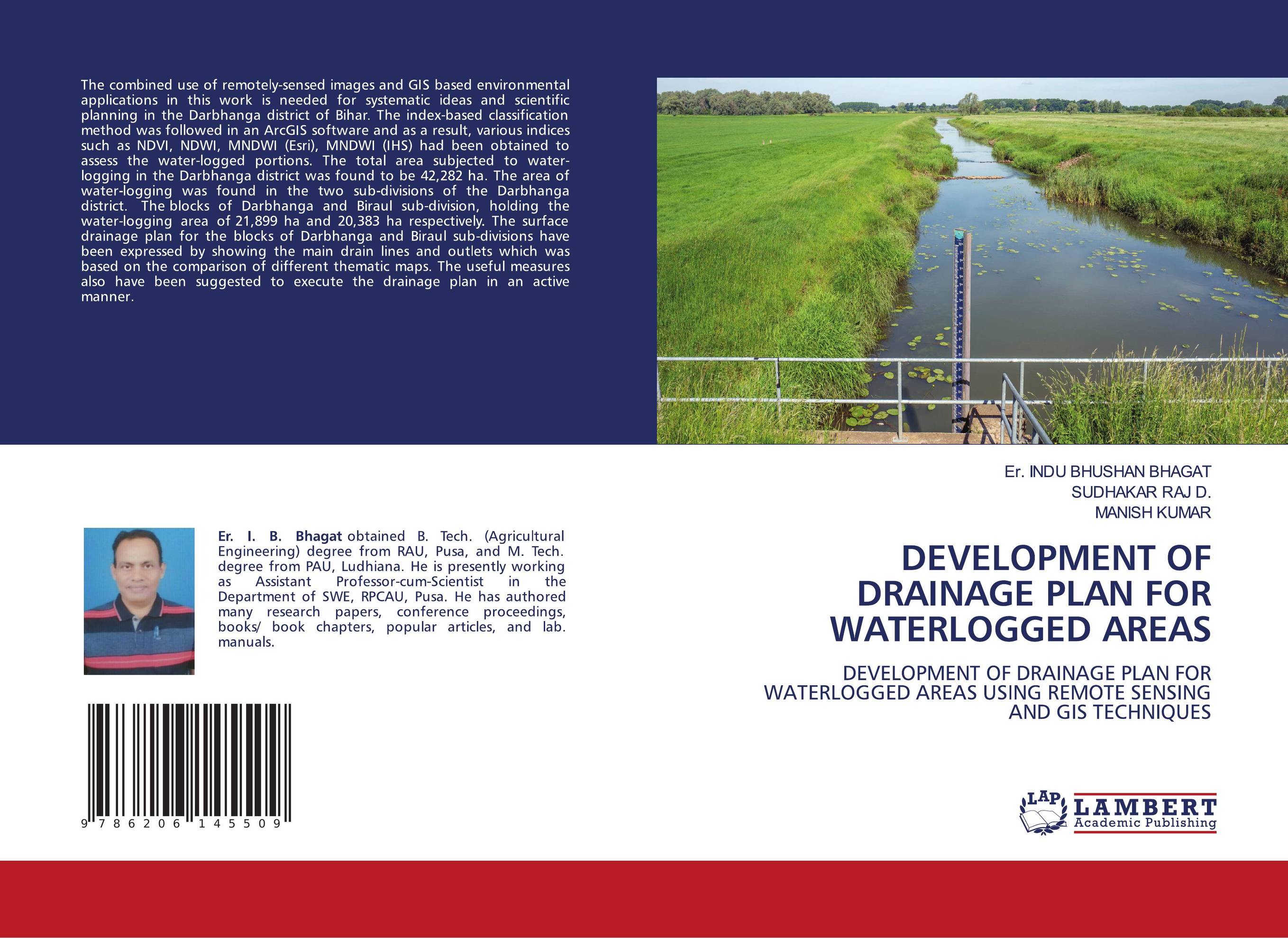 | Отрасли экономики: Агропромышленный комплекс -> Растениеводство -> Садоводство Er. INDU BHUSHAN BHAGAT,SUDHAKAR RAJ D. and Manish Kumar DEVELOPMENT OF DRAINAGE PLAN FOR WATERLOGGED AREAS. DEVELOPMENT OF DRAINAGE PLAN FOR WATERLOGGED AREAS USING REMOTE SENSING AND GIS TECHNIQUES. 1905 г., 100 стр., мягкий переплет The combined use of remotely-sensed images and GIS based environmental applications in this work is needed for systematic ideas and scientific planning in the Darbhanga district of Bihar. The index-based classification method was followed in an ArcGIS software and as a result, various indices such as NDVI, NDWI, MNDWI (Esri), MNDWI (IHS) had been... | 34793 тг |
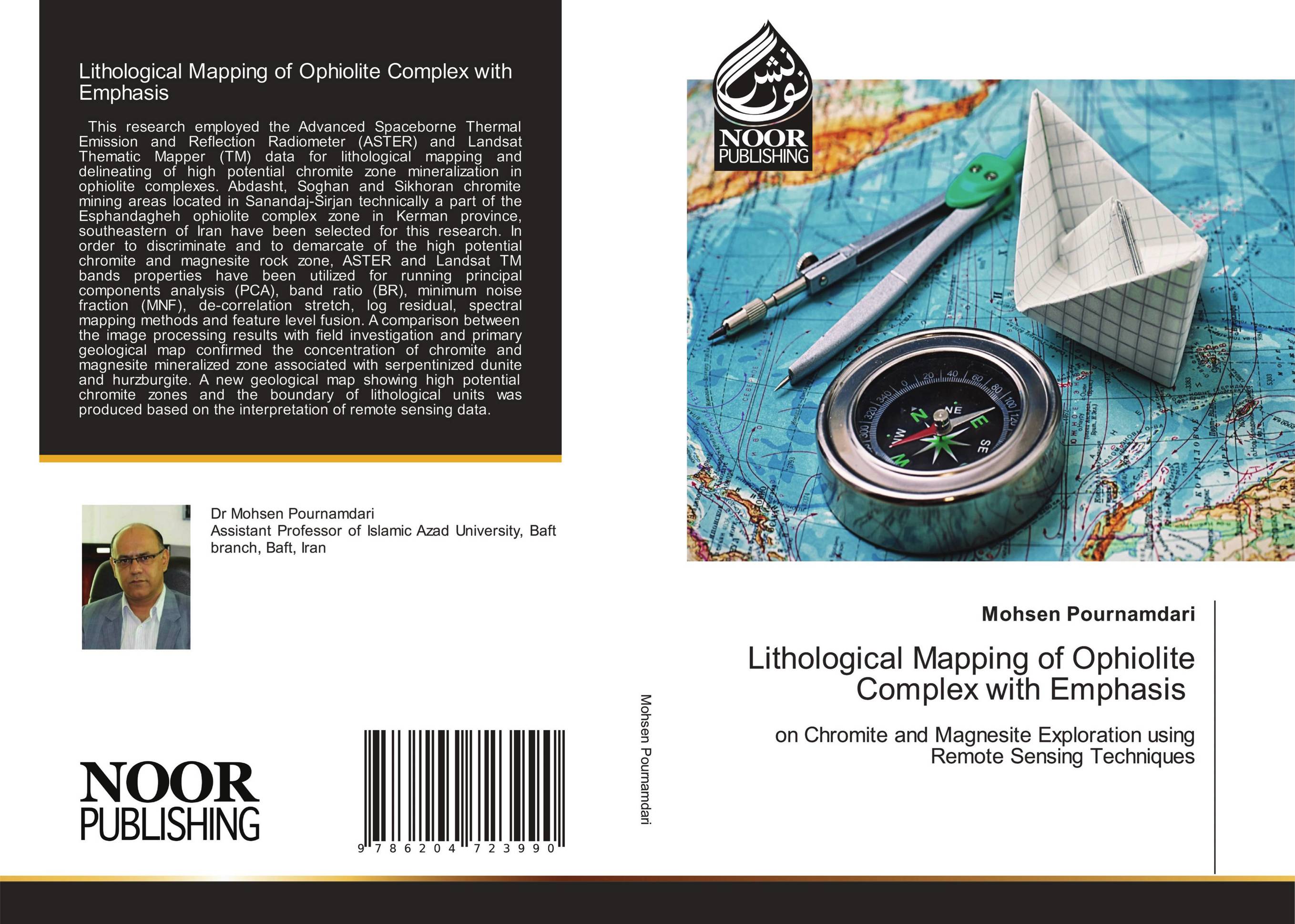 | Отрасли знаний: Науки о Земле -> География Mohsen Pournamdari Lithological Mapping of Ophiolite Complex with Emphasis. On Chromite and Magnesite Exploration using Remote Sensing Techniques. 1905 г., 208 стр., мягкий переплет This research employed the Advanced Spaceborne Thermal Emission and Reflection Radiometer (ASTER) and Landsat Thematic Mapper (TM) data for lithological mapping and delineating of high potential chromite zone mineralization in ophiolite complexes. Abdasht, Soghan and Sikhoran chromite mining areas located in Sanandaj-Sirjan technically a part of... | 35242 тг |
 | Отрасли знаний: Науки о Земле -> География Rajekhan Shikalgar Drought Assessment and Monitoring Using Remote Sensing Data. Man River Basin, Maharashtra. 1905 г., 148 стр., мягкий переплет Drought is a regular natural calamity that occurs in some part or the other. Some areas are clearly recognized as a drought prone area. The drought prone areas are demarcated on the basis of a combination of actual annual rainfall and the percentage of irrigated area to the net cropped area. The revenue department assesses yield loss through... | 40370 тг |
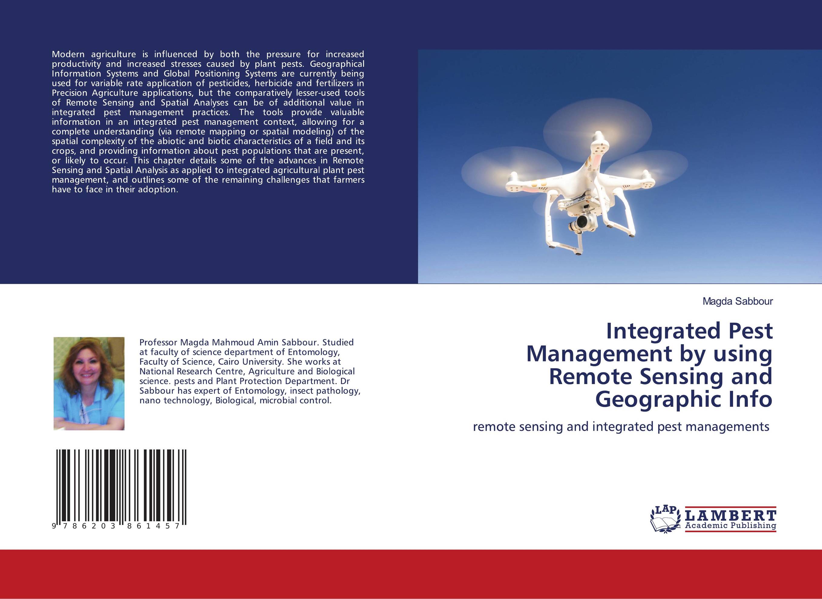 | Отрасли знаний: Общественные науки -> Экономика Magda Sabbour Integrated Pest Management by using Remote Sensing and Geographic Info. Remote sensing and integrated pest managements. 1905 г., 88 стр., мягкий переплет Modern agriculture is influenced by both the pressure for increased productivity and increased stresses caused by plant pests. Geographical Information Systems and Global Positioning Systems are currently being used for variable rate application of pesticides, herbicide and fertilizers in Precision Agriculture applications, but the comparatively... | 24203 тг |
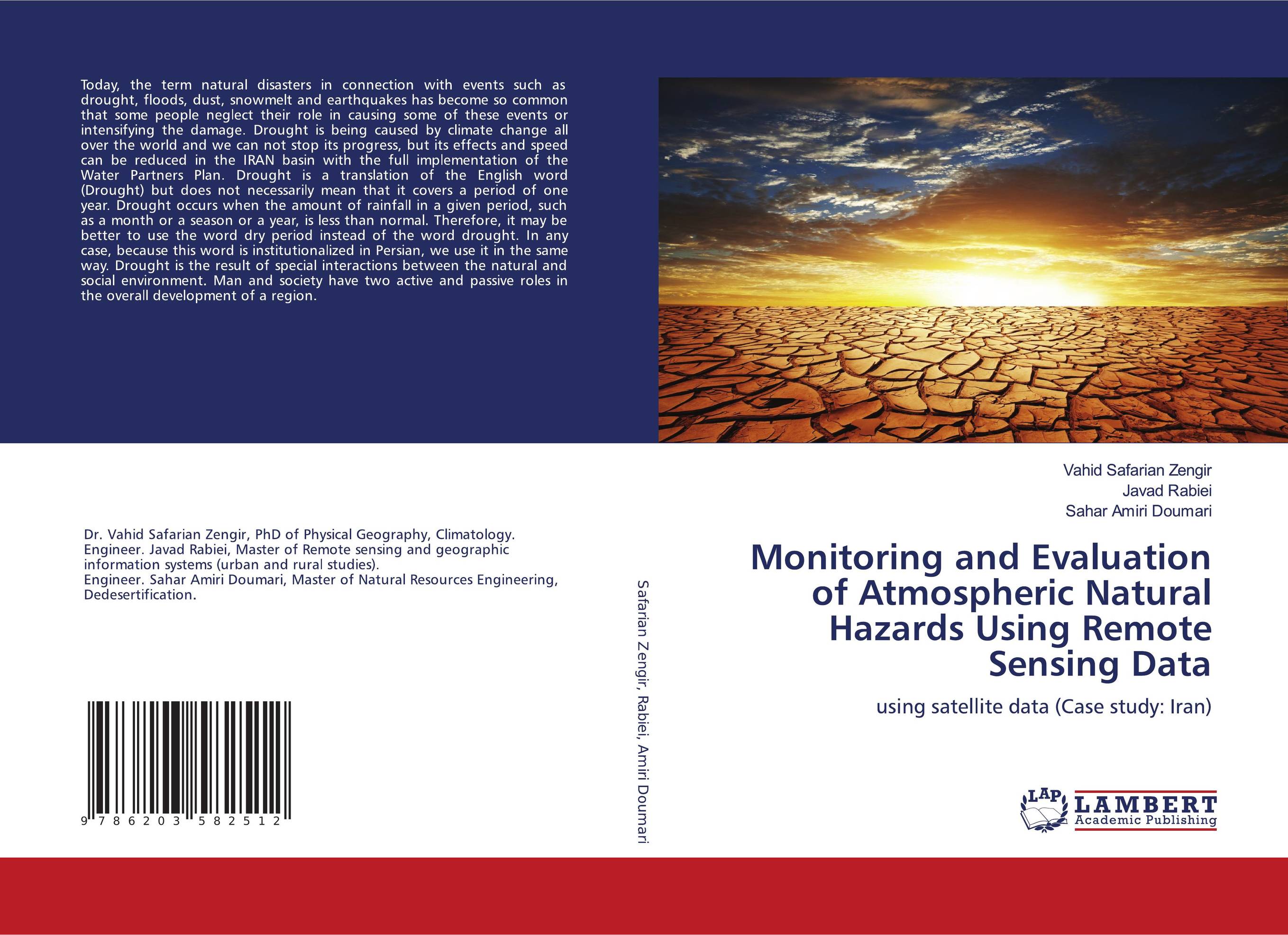 | Отрасли знаний: Естественные науки -> Физика Vahid Safarian Zengir,Javad Rabiei and Sahar Amiri Doumari Monitoring and Evaluation of Atmospheric Natural Hazards Using Remote Sensing Data. Using satellite data (Case study: Iran). 1905 г., 112 стр., мягкий переплет Today, the term natural disasters in connection with events such as drought, floods, dust, snowmelt and earthquakes has become so common that some people neglect their role in causing some of these events or intensifying the damage. Drought is being caused by climate change all over the world and we can not stop its progress, but its effects and... | 32315 тг |
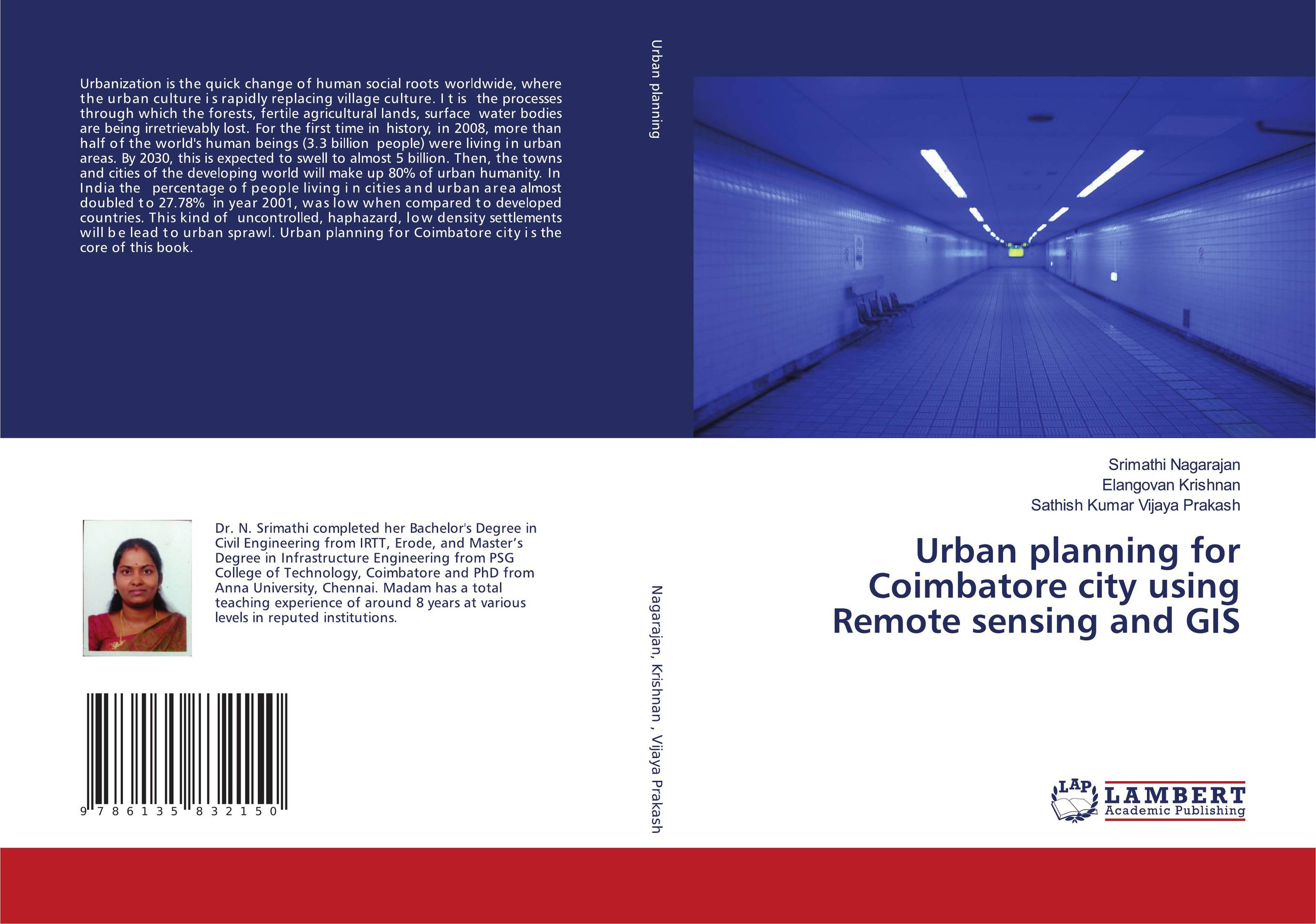 | Отрасли знаний: Науки о Земле Srimathi Nagarajan,Elangovan Krishnan and Sathish Kumar Vijaya Prakash Urban planning for Coimbatore city using Remote sensing and GIS.. 1905 г., 292 стр., мягкий переплет Urbanization is the quick change of human social roots worldwide, where the urban culture is rapidly replacing village culture. It is the processes through which the forests, fertile agricultural lands, surface water bodies are being irretrievably lost. For the first time in history, in 2008, more than half of the world's human beings (3.3 billion... | 52261 тг |
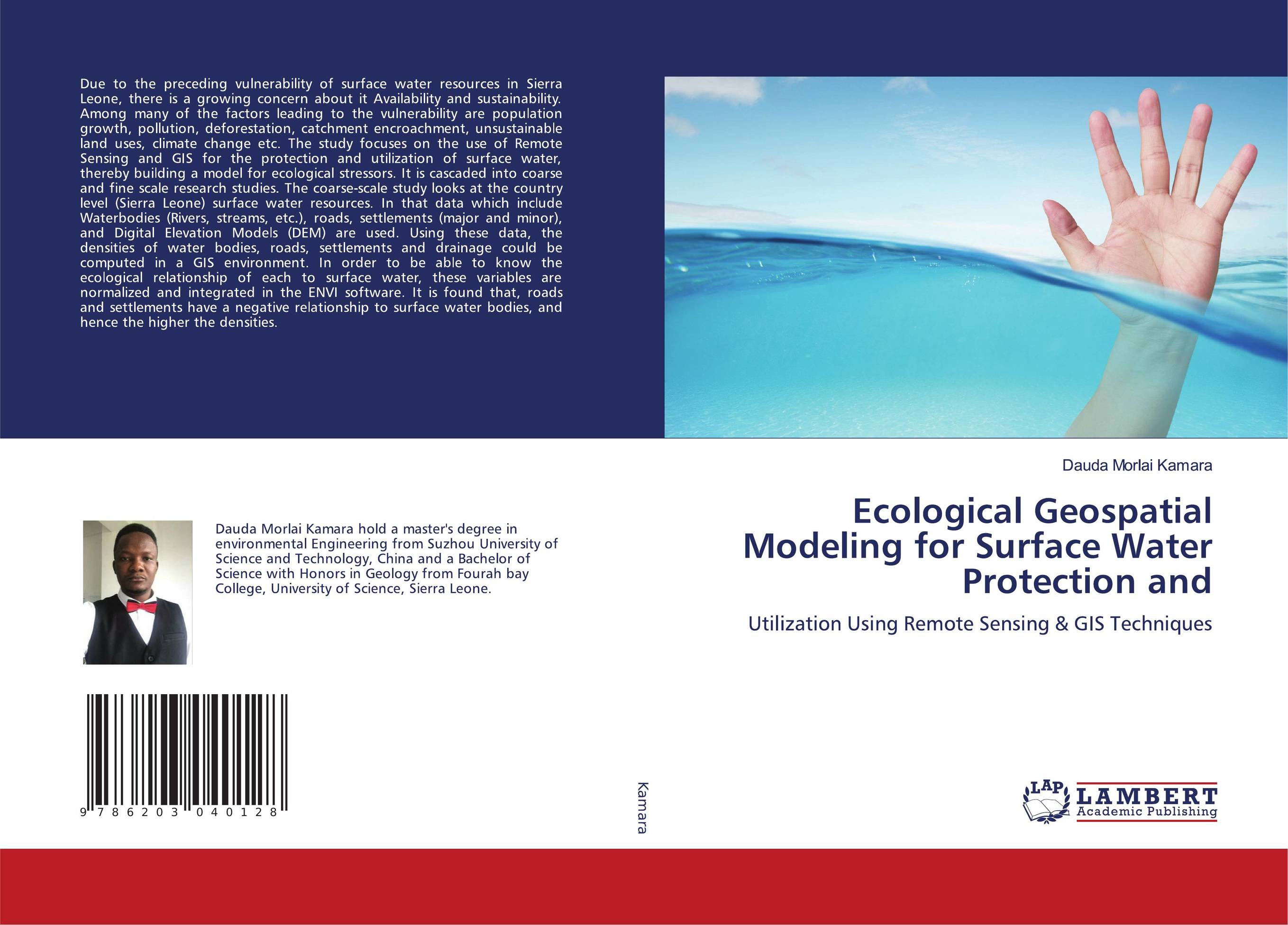 | Отрасли знаний: Естественные науки -> Химия Dauda Morlai Kamara Ecological Geospatial Modeling for Surface Water Protection and. Utilization Using Remote Sensing & GIS Techniques. 2020 г., 168 стр., мягкий переплет Due to the preceding vulnerability of surface water resources in Sierra Leone, there is a growing concern about it Availability and sustainability. Among many of the factors leading to the vulnerability are population growth, pollution, deforestation, catchment encroachment, unsustainable land uses, climate change etc. The study focuses on the use... | 42533 тг |
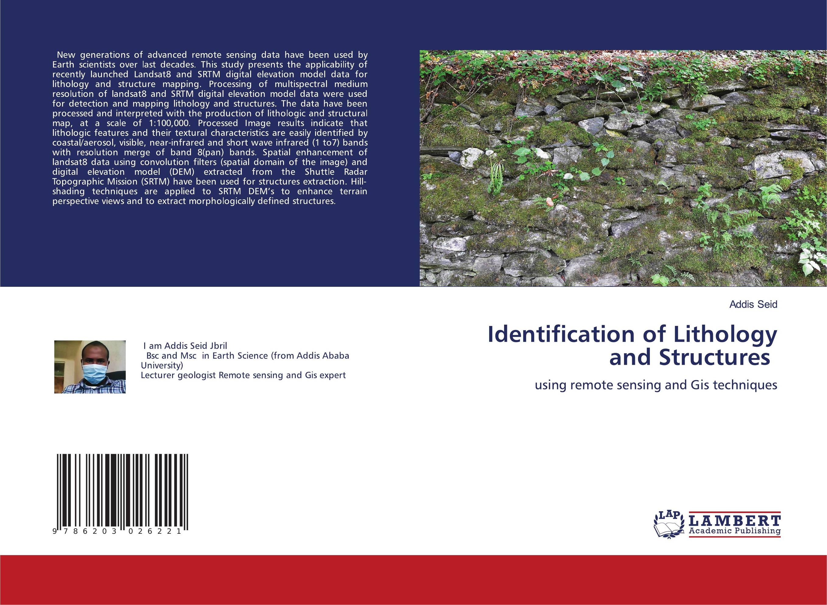 | Отрасли знаний: Науки о Земле Addis Seid Identification of Lithology and Structures. Using remote sensing and Gis techniques. 2020 г., 76 стр., мягкий переплет New generations of advanced remote sensing data have been used by Earth scientists over last decades. This study presents the applicability of recently launched Landsat8 and SRTM digital elevation model data for lithology and structure mapping. Processing of multispectral medium resolution of landsat8 and SRTM digital elevation model data were... | 23777 тг |
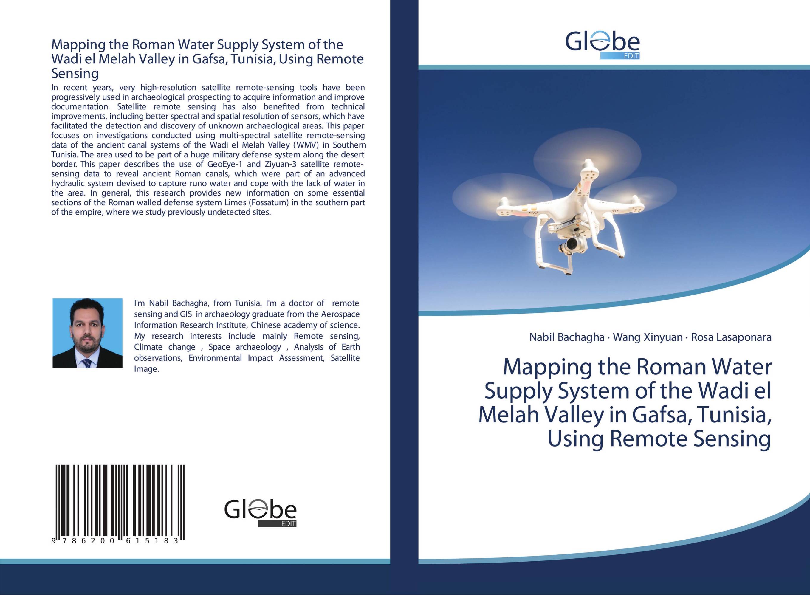 | Отрасли знаний: Общественные науки -> Социология Nabil Bachagha,Wang Xinyuan and Rosa Lasaponara Mapping the Roman Water Supply System of the Wadi el Melah Valley in Gafsa, Tunisia, Using Remote Sensing. . 2020 г., 52 стр., мягкий переплет In recent years, very high-resolution satellite remote-sensing tools have been progressively used in archaeological prospecting to acquire information and improve documentation. Satellite remote sensing has also benefited from technical improvements, including better spectral and spatial resolution of sensors, which have facilitated the detection... | 20988 тг |
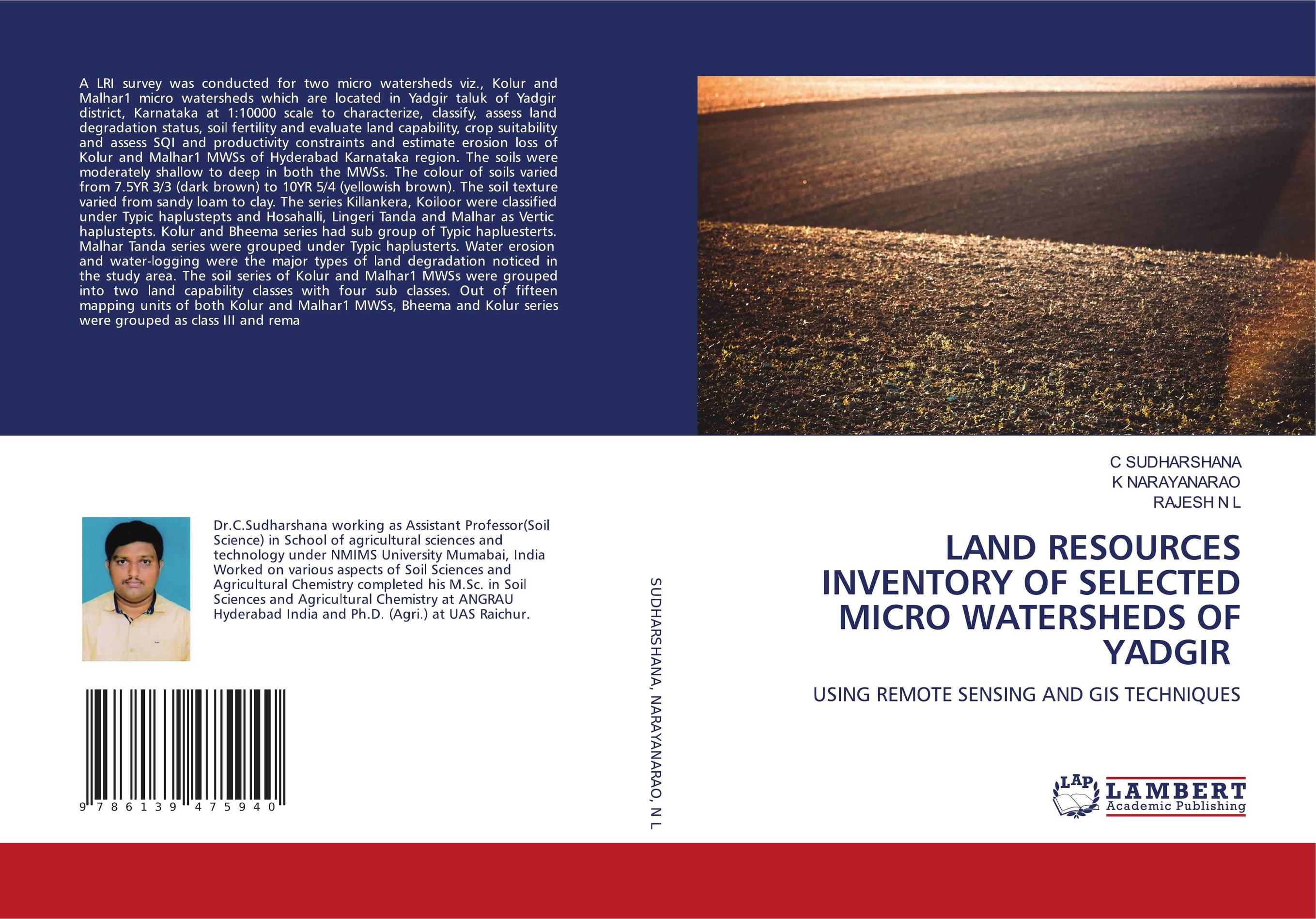 | Отрасли экономики: Агропромышленный комплекс -> Растениеводство -> Садоводство C SUDHARSHANA,K NARAYANARAO and RAJESH N L LAND RESOURCES INVENTORY OF SELECTED MICRO WATERSHEDS OF YADGIR. USING REMOTE SENSING AND GIS TECHNIQUES. 2020 г., 324 стр., мягкий переплет A LRI survey was conducted for two micro watersheds viz., Kolur and Malhar1 micro watersheds which are located in Yadgir taluk of Yadgir district, Karnataka at 1:10000 scale to characterize, classify, assess land degradation status, soil fertility and evaluate land capability, crop suitability and assess SQI and productivity constraints and... | 55817 тг |
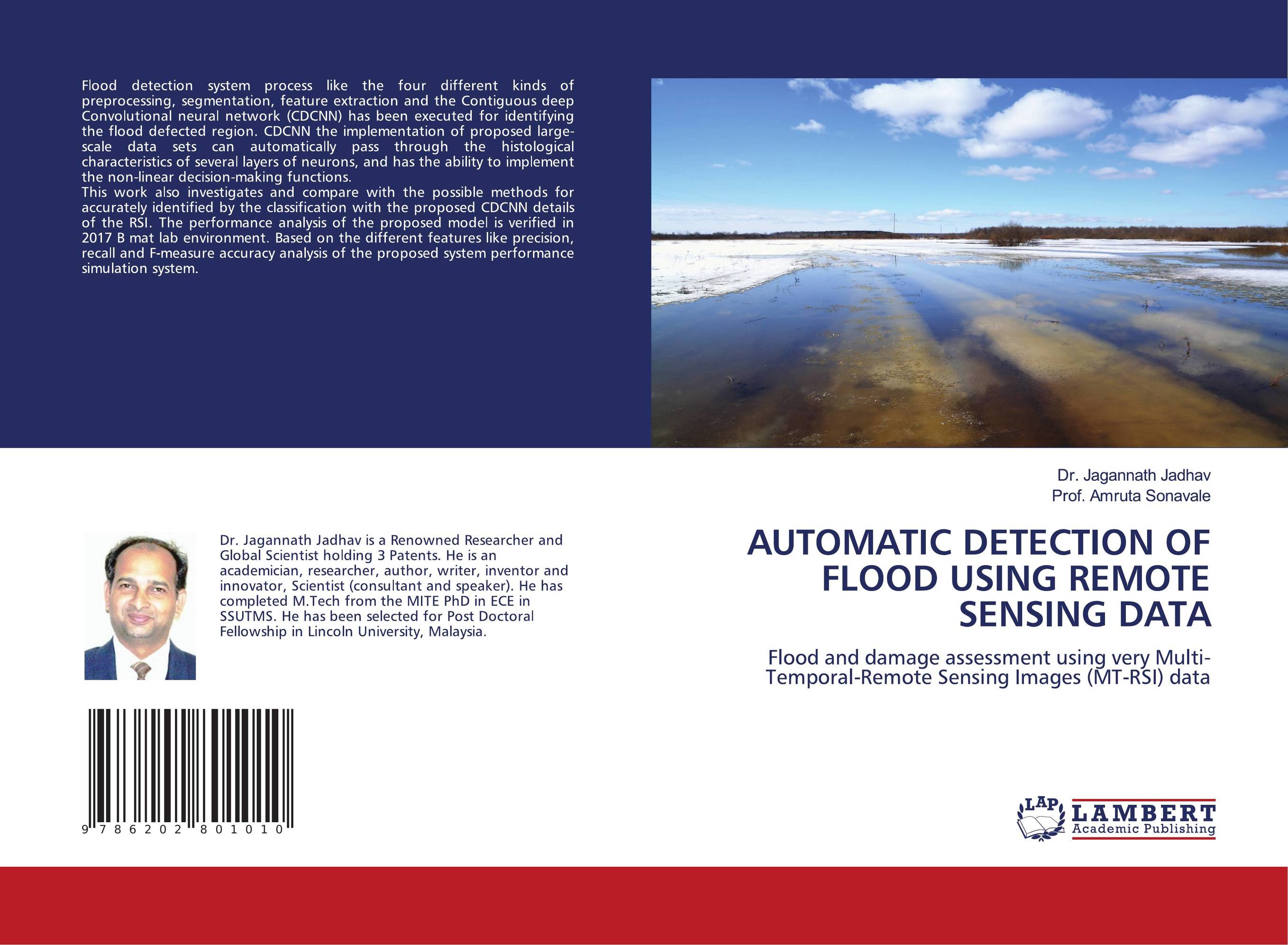 | Отрасли экономики: Промышленность в целом Dr. Jagannath Jadhav and Prof. Amruta Sonavale AUTOMATIC DETECTION OF FLOOD USING REMOTE SENSING DATA. Flood and damage assessment using very Multi-Temporal-Remote Sensing Images (MT-RSI) data. 2020 г., 56 стр., мягкий переплет Flood detection system process like the four different kinds of preprocessing, segmentation, feature extraction and the Contiguous deep Convolutional neural network (CDCNN) has been executed for identifying the flood defected region. CDCNN the implementation of proposed large-scale data sets can automatically pass through the histological... | 23066 тг |
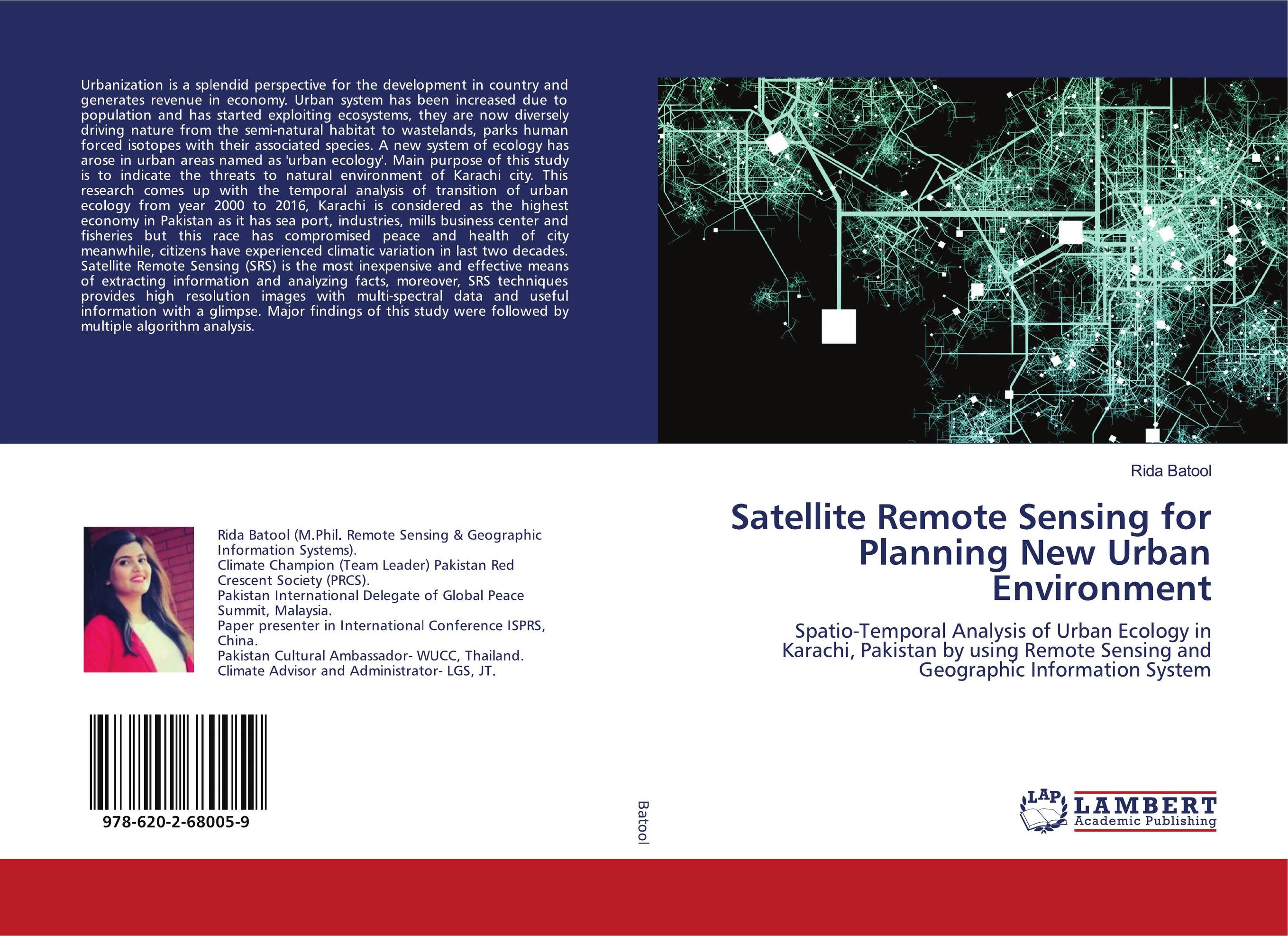 | Отрасли знаний: Естественные науки -> Экология Rida Batool Satellite Remote Sensing for Planning New Urban Environment. Spatio-Temporal Analysis of Urban Ecology in Karachi, Pakistan by using Remote Sensing and Geographic Information System. 2020 г., 108 стр., мягкий переплет Urbanization is a splendid perspective for the development in country and generates revenue in economy. Urban system has been increased due to population and has started exploiting ecosystems, they are now diversely driving nature from the semi-natural habitat to wastelands, parks human forced isotopes with their associated species. A new system... | 32173 тг |
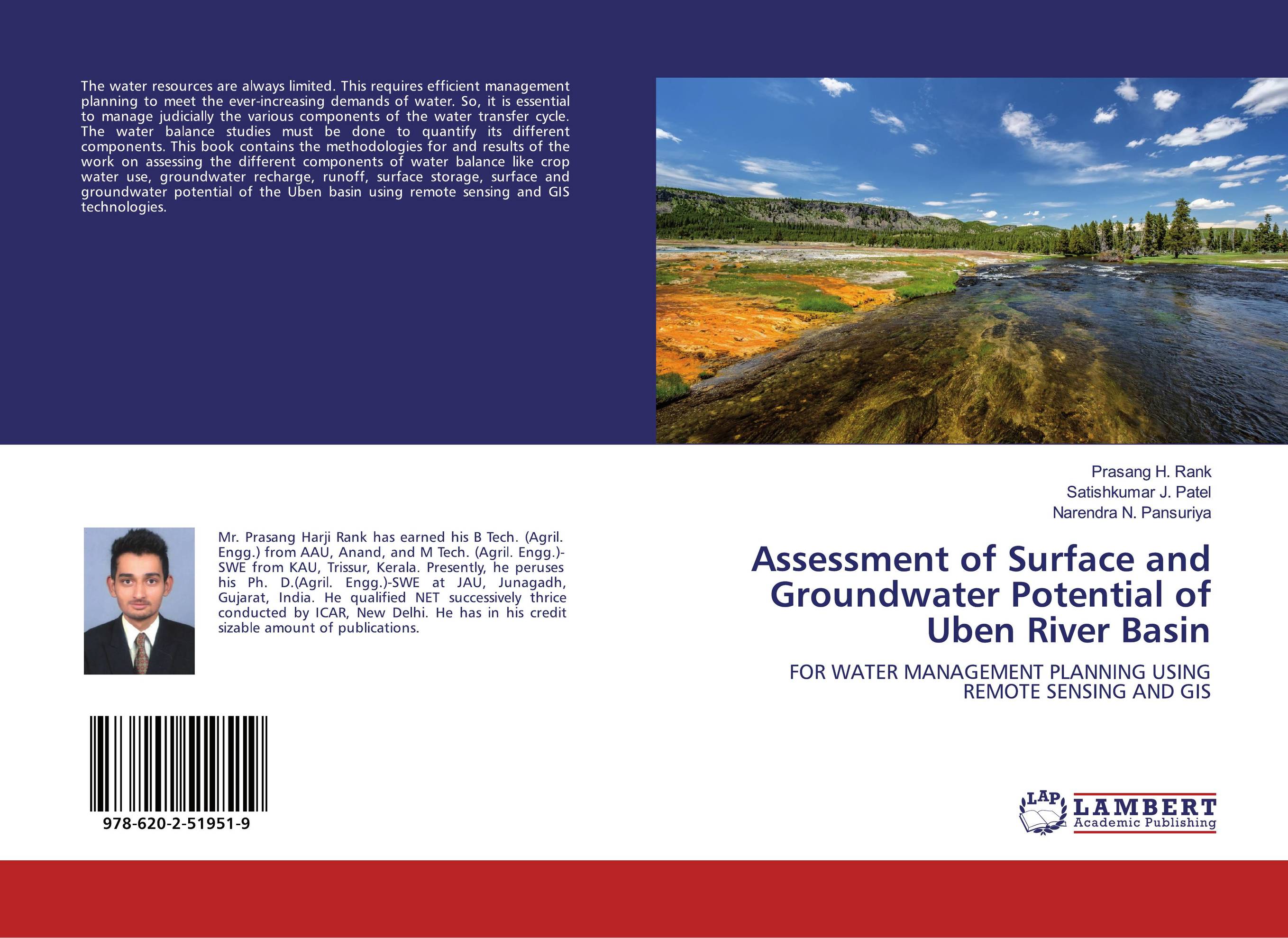 | Отрасли экономики: Агропромышленный комплекс -> Растениеводство -> Садоводство Prasang H. Rank,Satishkumar J. Patel and Narendra N. Pansuriya Assessment of Surface and Groundwater Potential of Uben River Basin. FOR WATER MANAGEMENT PLANNING USING REMOTE SENSING AND GIS. 2020 г., 96 стр., мягкий переплет The water resources are always limited. This requires efficient management planning to meet the ever-increasing demands of water. So, it is essential to manage judicially the various components of the water transfer cycle. The water balance studies must be done to quantify its different components. This book contains the methodologies for and... | 31747 тг |
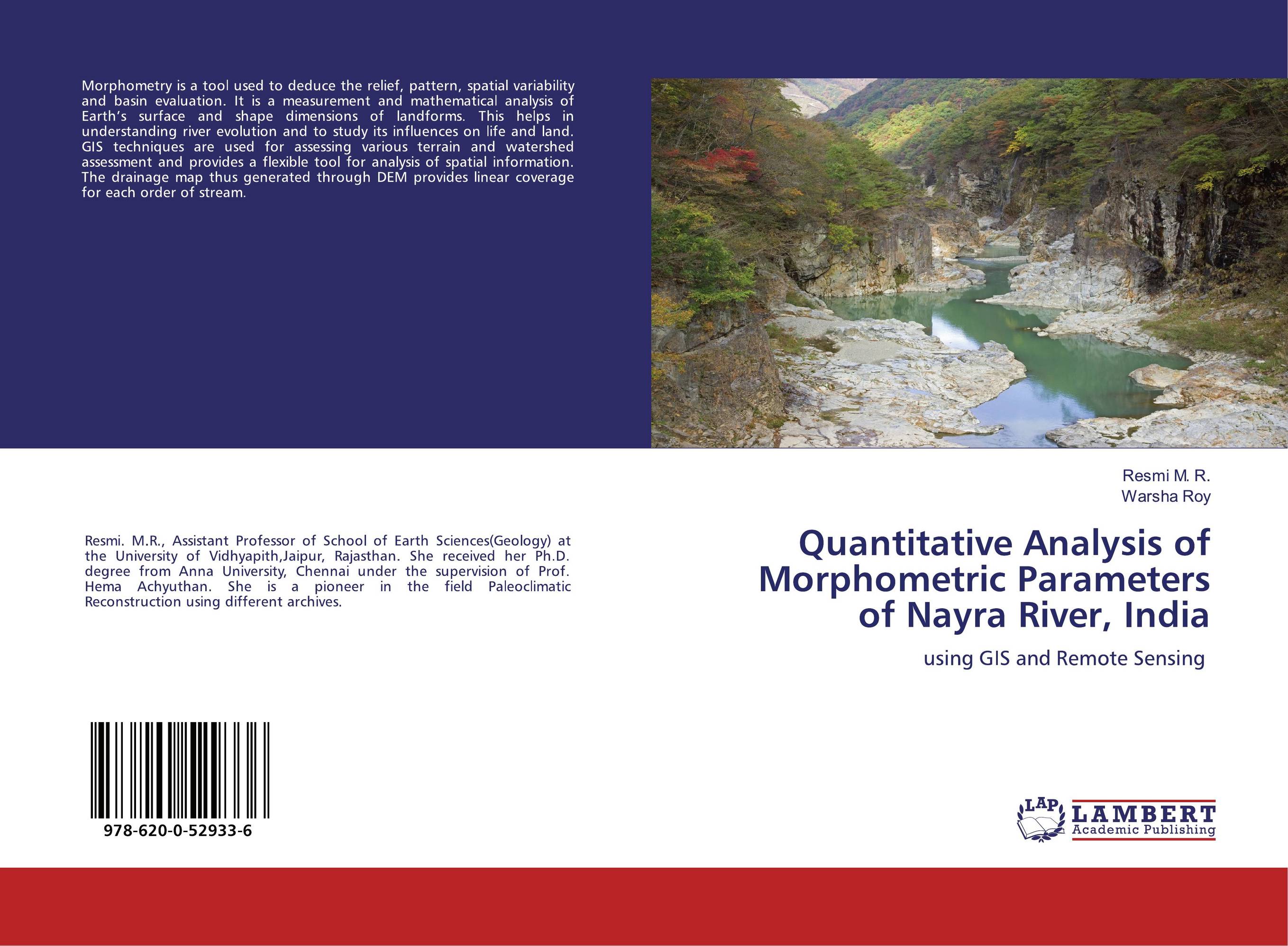 | Отрасли знаний: Науки о Земле -> Геология и геофизика Resmi M. R. and Warsha Roy Quantitative Analysis of Morphometric Parameters of Nayra River, India. Using GIS and Remote Sensing. 2020 г., 56 стр., мягкий переплет Morphometry is a tool used to deduce the relief, pattern, spatial variability and basin evaluation. It is a measurement and mathematical analysis of Earth’s surface and shape dimensions of landforms. This helps in understanding river evolution and to study its influences on life and land. GIS techniques are used for assessing various terrain and... | 23066 тг |
 | Отрасли знаний: Науки о Земле -> Геология и геофизика Y. Sudharshan Reddy and sunitha vangala Hydrogeochemical Studies of Groundwater. In Chennur Mandal, Y.S.R District, A.P using Remote Sensing Technique. 2019 г., 56 стр., мягкий переплет Water is a non-renewable and most precious resource. Groundwater occupies a major part in water supply for drinking, irrigation and industrial purposes in the world. In India arid and semiarid regions, especially in rural regions, most population depends on the groundwater for their drinking and irrigation purposes. It is evaluated that nearly one... | 23066 тг |
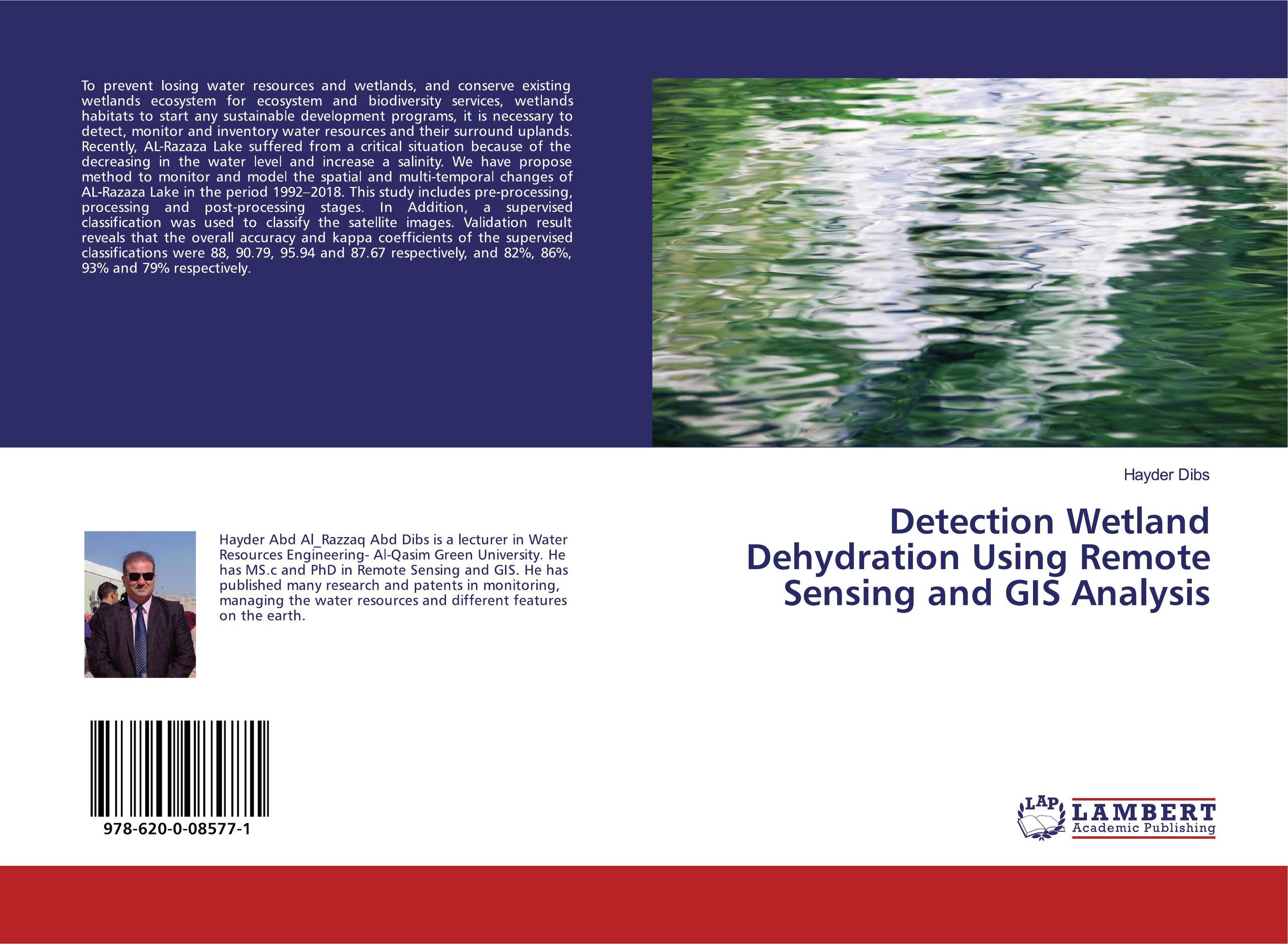 | Отрасли знаний: Общественные науки -> Юриспруденция -> Гражданское право Hayder Dibs Detection Wetland Dehydration Using Remote Sensing and GIS Analysis. . 2019 г., 64 стр., мягкий переплет To prevent losing water resources and wetlands, and conserve existing wetlands ecosystem for ecosystem and biodiversity services, wetlands habitats to start any sustainable development programs, it is necessary to detect, monitor and inventory water resources and their surround uplands. Recently, AL-Razaza Lake suffered from a critical situation... | 23350 тг |
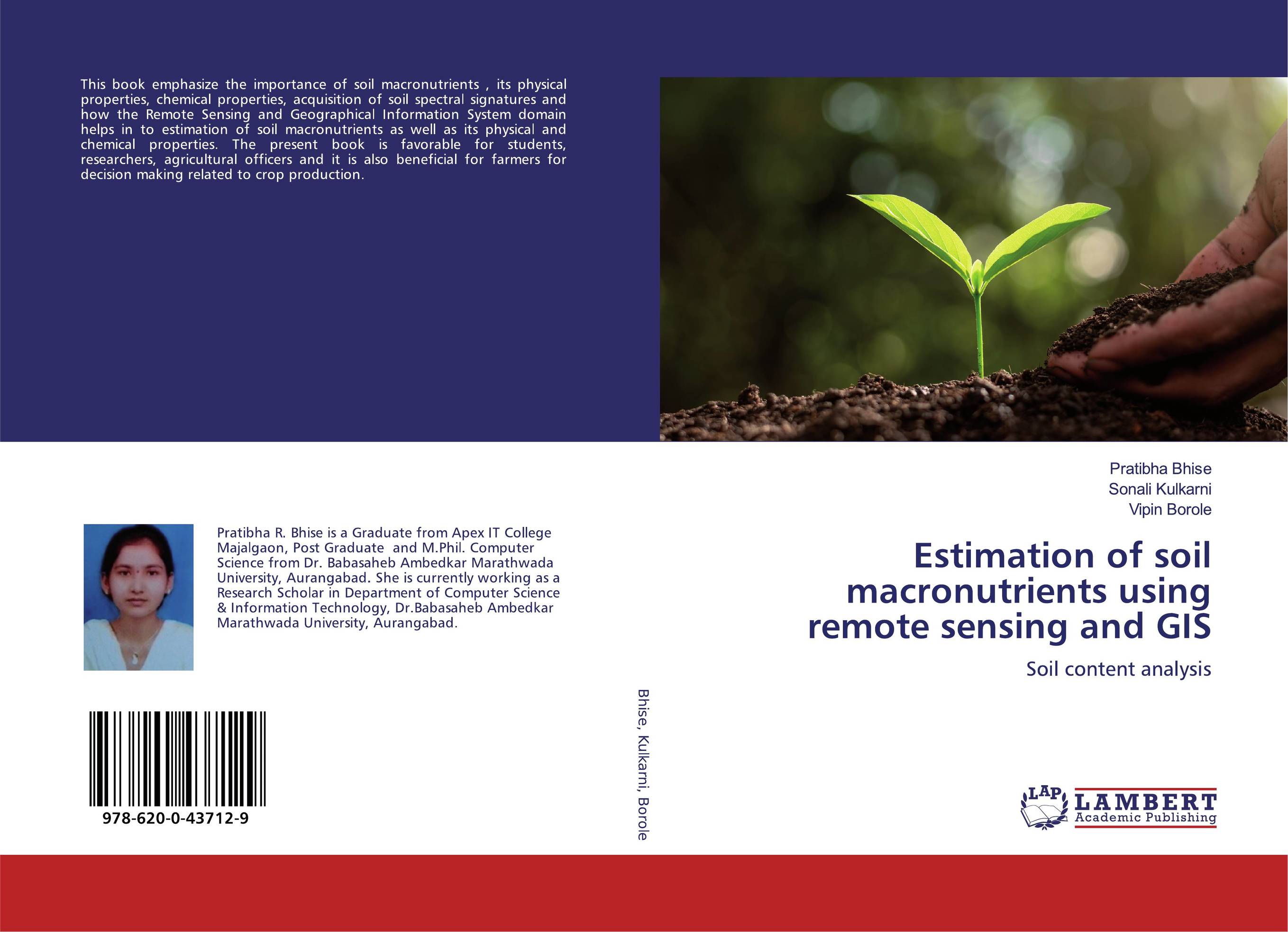 | Отрасли экономики: Агропромышленный комплекс -> Растениеводство -> Садоводство Pratibha Bhise,Sonali Kulkarni and Vipin Borole Estimation of soil macronutrients using remote sensing and GIS. Soil content analysis. 2019 г., 128 стр., мягкий переплет This book emphasize the importance of soil macronutrients , its physical properties, chemical properties, acquisition of soil spectral signatures and how the Remote Sensing and Geographical Information System domain helps in to estimation of soil macronutrients as well as its physical and chemical properties. The present book is favorable for... | 32883 тг |
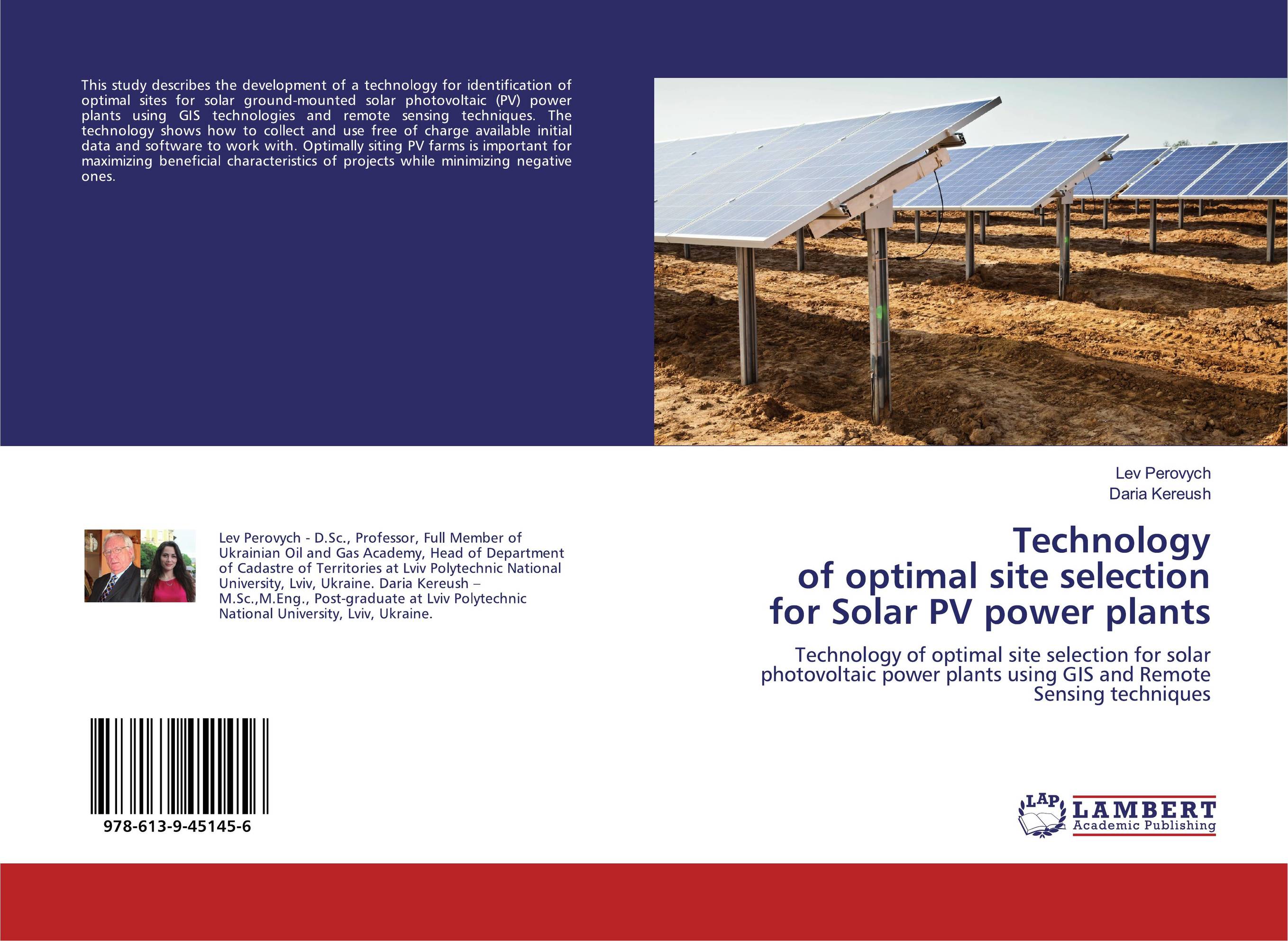 | Отрасли знаний: Науки о Земле Lev Perovych and Daria Kereush Technology of optimal site selection for Solar PV power plants. Technology of optimal site selection for solar photovoltaic power plants using GIS and Remote Sensing techniques. 2019 г., 80 стр., мягкий переплет This study describes the development of a technology for identification of optimal sites for solar ground-mounted solar photovoltaic (PV) power plants using GIS technologies and remote sensing techniques. The technology shows how to collect and use free of charge available initial data and software to work with. Optimally siting PV farms is... | 21983 тг |
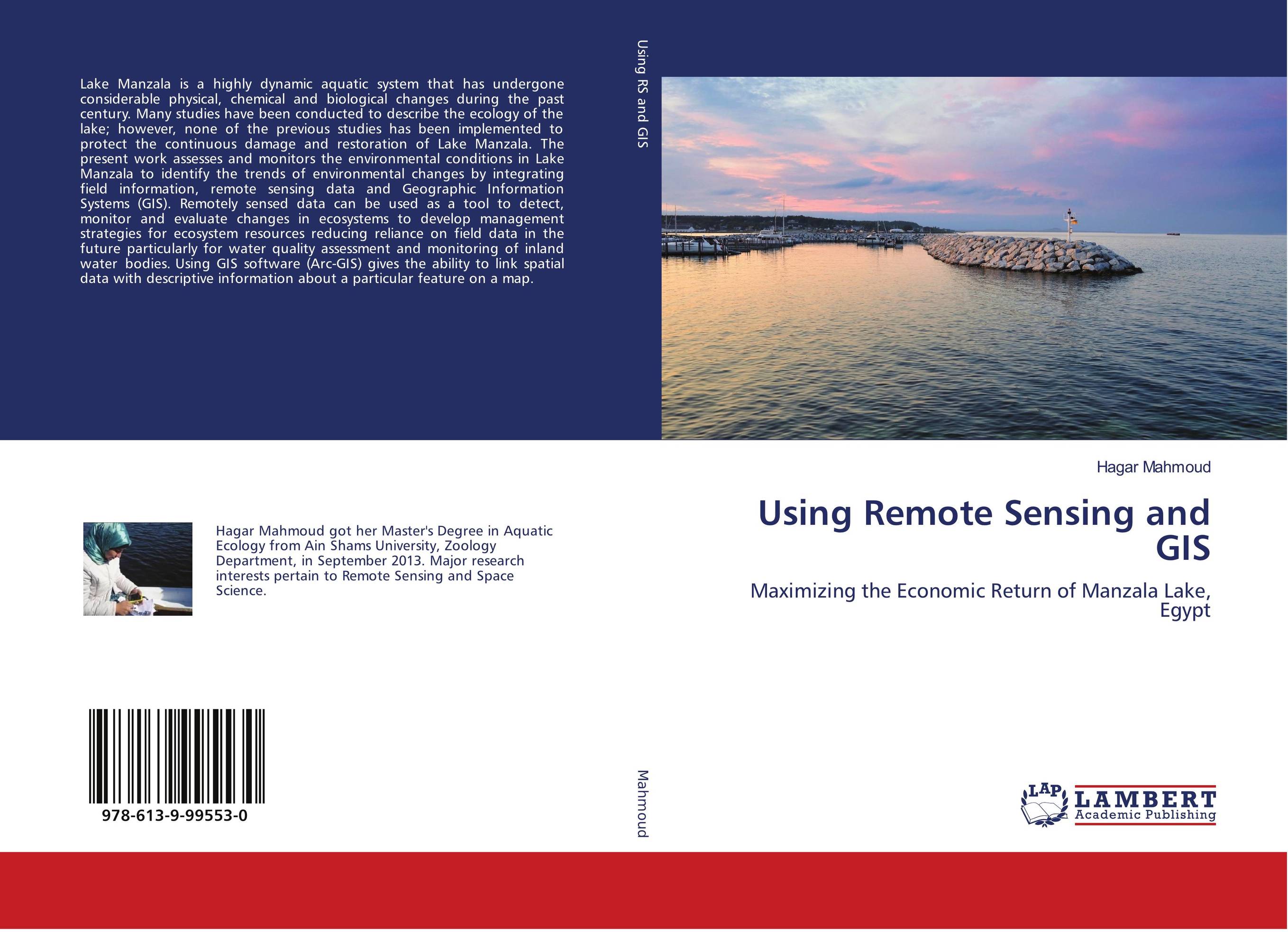 | Отрасли знаний: Общественные науки -> Политика и политология Hagar Mahmoud Using Remote Sensing and GIS. Maximizing the Economic Return of Manzala Lake, Egypt. 2019 г., 144 стр., мягкий переплет Lake Manzala is a highly dynamic aquatic system that has undergone considerable physical, chemical and biological changes during the past century. Many studies have been conducted to describe the ecology of the lake; however, none of the previous studies has been implemented to protect the continuous damage and restoration of Lake Manzala. The... | 41681 тг |
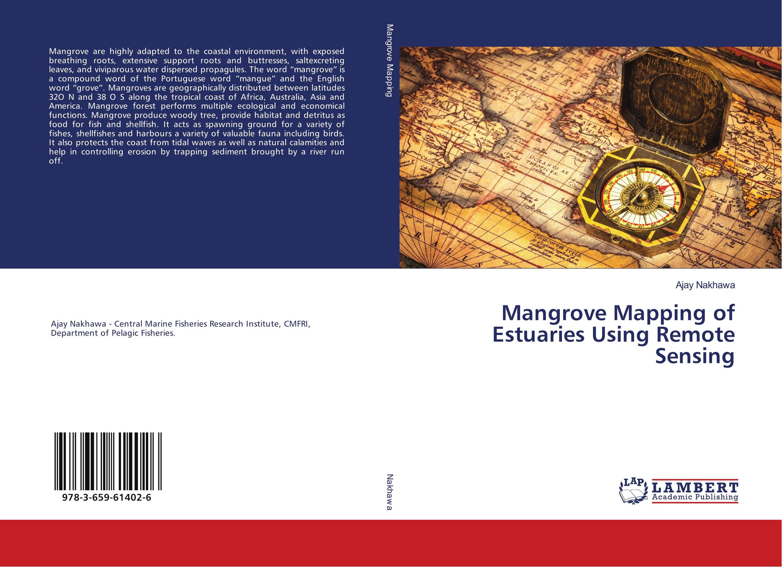 | Отрасли знаний: Общественные науки -> Экономика Ajay Nakhawa Mangrove Mapping of Estuaries Using Remote Sensing. . 2018 г., 112 стр., мягкий переплет Mangrove are highly adapted to the coastal environment, with exposed breathing roots, extensive support roots and buttresses, saltexcreting leaves, and viviparous water dispersed propagules. The word “mangrove” is a compound word of the Portuguese word “mangue” and the English word “grove”. Mangroves are geographically distributed... | 32315 тг |
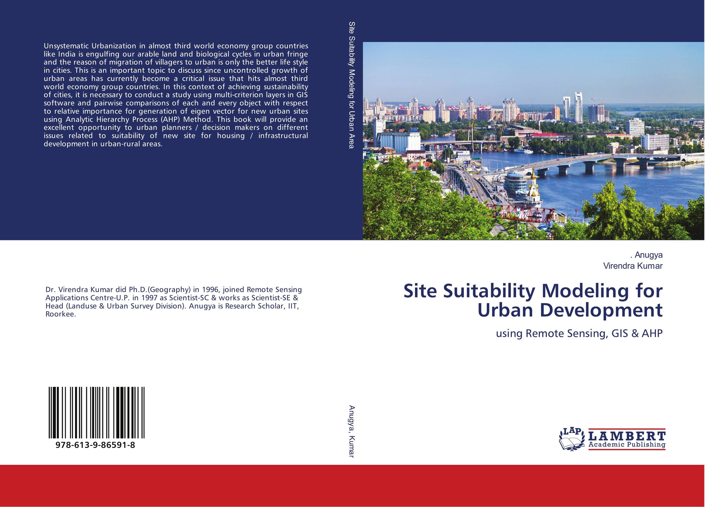 | Отрасли знаний: Общественные науки -> Экономика . Anugya and Virendra Kumar Site Suitability Modeling for Urban Development. Using Remote Sensing, GIS & AHP. 2018 г., 160 стр., мягкий переплет Unsystematic Urbanization in almost third world economy group countries like India is engulfing our arable land and biological cycles in urban fringe and the reason of migration of villagers to urban is only the better life style in cities. This is an important topic to discuss since uncontrolled growth of urban areas has currently become a... | 42249 тг |
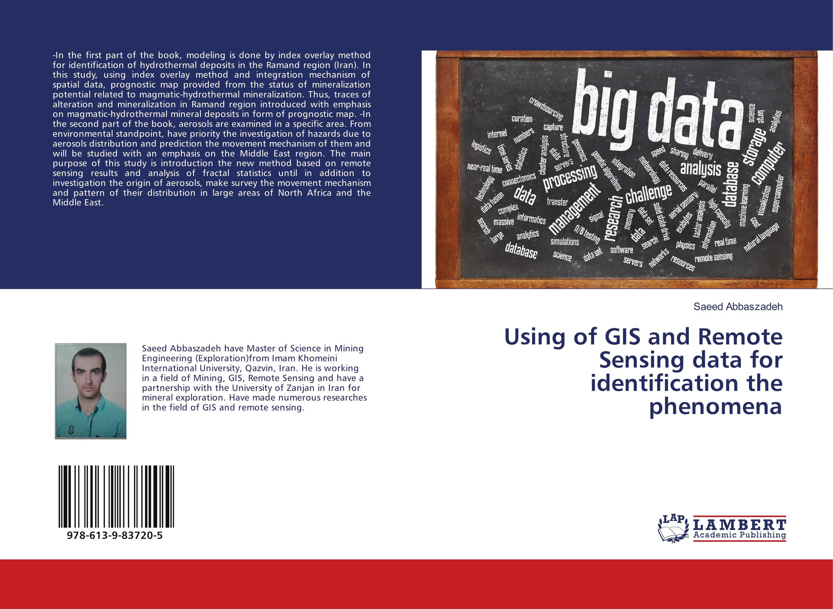 | Отрасли знаний: Науки о Земле -> Геология и геофизика Saeed Abbaszadeh Using of GIS and Remote Sensing data for identification the phenomena. . 2018 г., 60 стр., мягкий переплет -In the first part of the book, modeling is done by index overlay method for identification of hydrothermal deposits in the Ramand region (Iran). In this study, using index overlay method and integration mechanism of spatial data, prognostic map provided from the status of mineralization potential related to magmatic-hydrothermal mineralization.... | 21272 тг |
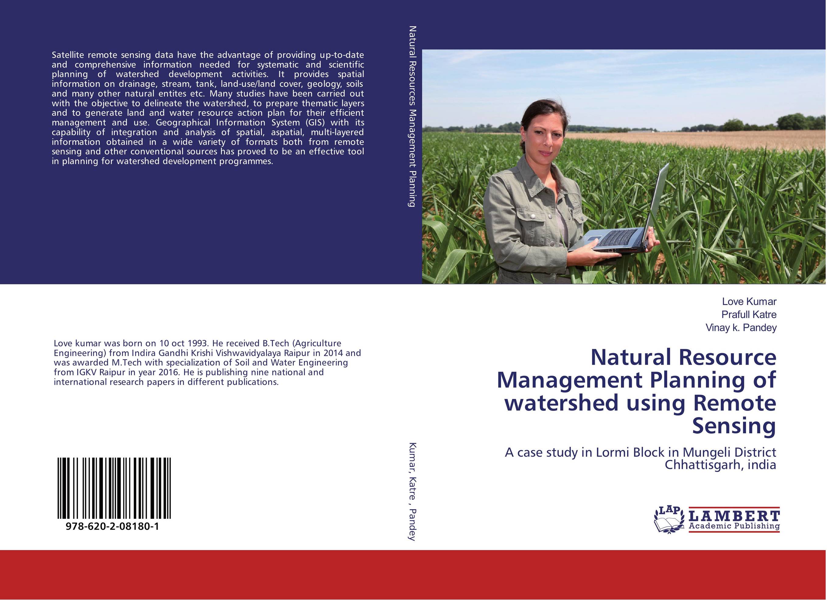 | Отрасли экономики: Агропромышленный комплекс -> Растениеводство -> Садоводство Love Kumar,Prafull Katre and Vinay k. Pandey Natural Resource Management Planning of watershed using Remote Sensing. A case study in Lormi Block in Mungeli District Chhattisgarh, india. 2017 г., 116 стр., мягкий переплет Satellite remote sensing data have the advantage of providing up-to-date and comprehensive information needed for systematic and scientific planning of watershed development activities. It provides spatial information on drainage, stream, tank, land-use/land cover, geology, soils and many other natural entites etc. Many studies have been carried... | 30038 тг |
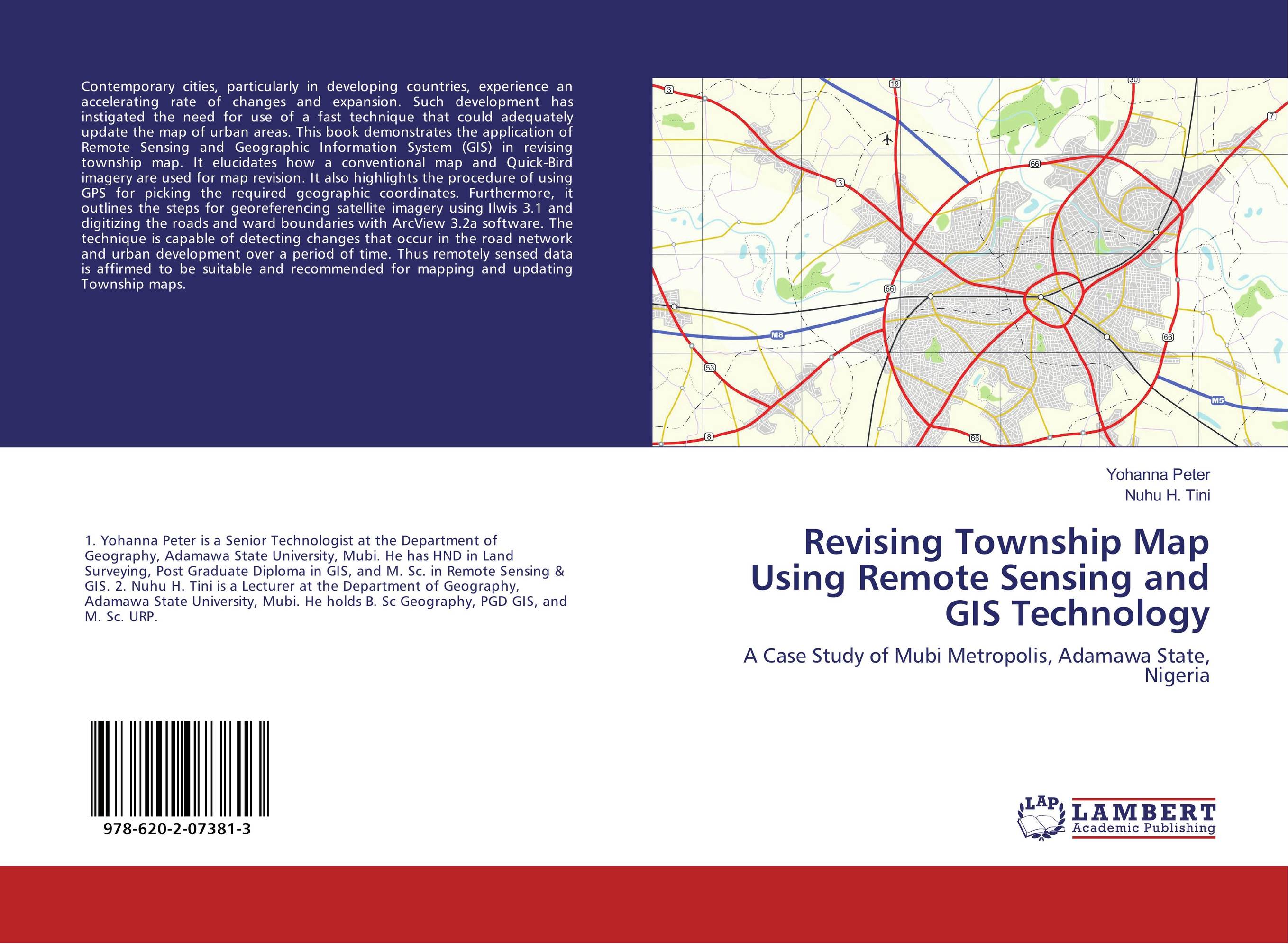 | Отрасли знаний: Науки о Земле Yohanna Peter and Nuhu H. Tini Revising Township Map Using Remote Sensing and GIS Technology. A Case Study of Mubi Metropolis, Adamawa State, Nigeria. 2017 г., 64 стр., мягкий переплет Contemporary cities, particularly in developing countries, experience an accelerating rate of changes and expansion. Such development has instigated the need for use of a fast technique that could adequately update the map of urban areas. This book demonstrates the application of Remote Sensing and Geographic Information System (GIS) in revising... | 21414 тг |
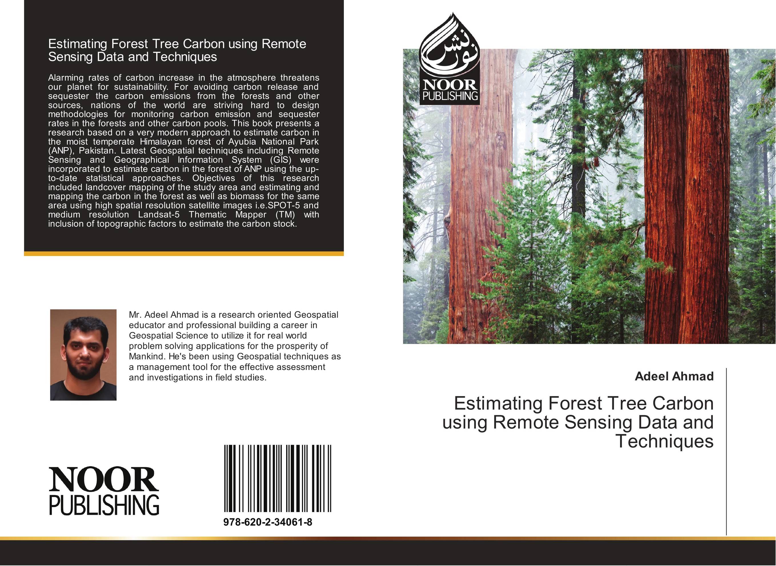 | Отрасли знаний: Науки о Земле Adeel Ahmad Estimating Forest Tree Carbon using Remote Sensing Data and Techniques. . 2017 г., 88 стр., мягкий переплет Alarming rates of carbon increase in the atmosphere threatens our planet for sustainability. For avoiding carbon release and sequester the carbon emissions from the forests and other sources, nations of the world are striving hard to design methodologies for monitoring carbon emission and sequester rates in the forests and other carbon pools. This... | 18879 тг |
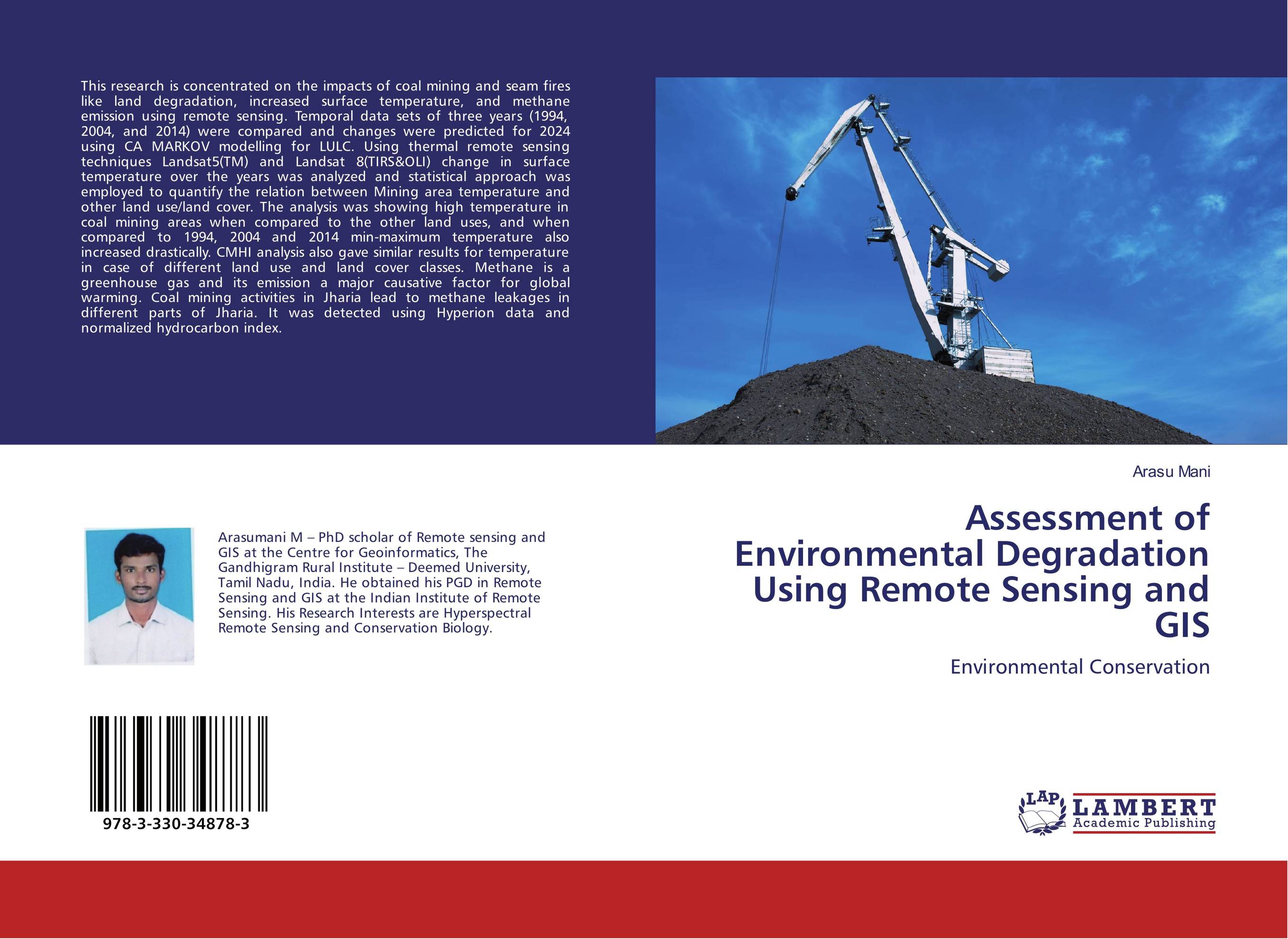 | Отрасли знаний: Науки о Земле Arasu Mani Assessment of Environmental Degradation Using Remote Sensing and GIS. Environmental Conservation. 2017 г., 92 стр., мягкий переплет This research is concentrated on the impacts of coal mining and seam fires like land degradation, increased surface temperature, and methane emission using remote sensing. Temporal data sets of three years (1994, 2004, and 2014) were compared and changes were predicted for 2024 using CA MARKOV modelling for LULC. Using thermal remote sensing... | 29185 тг |
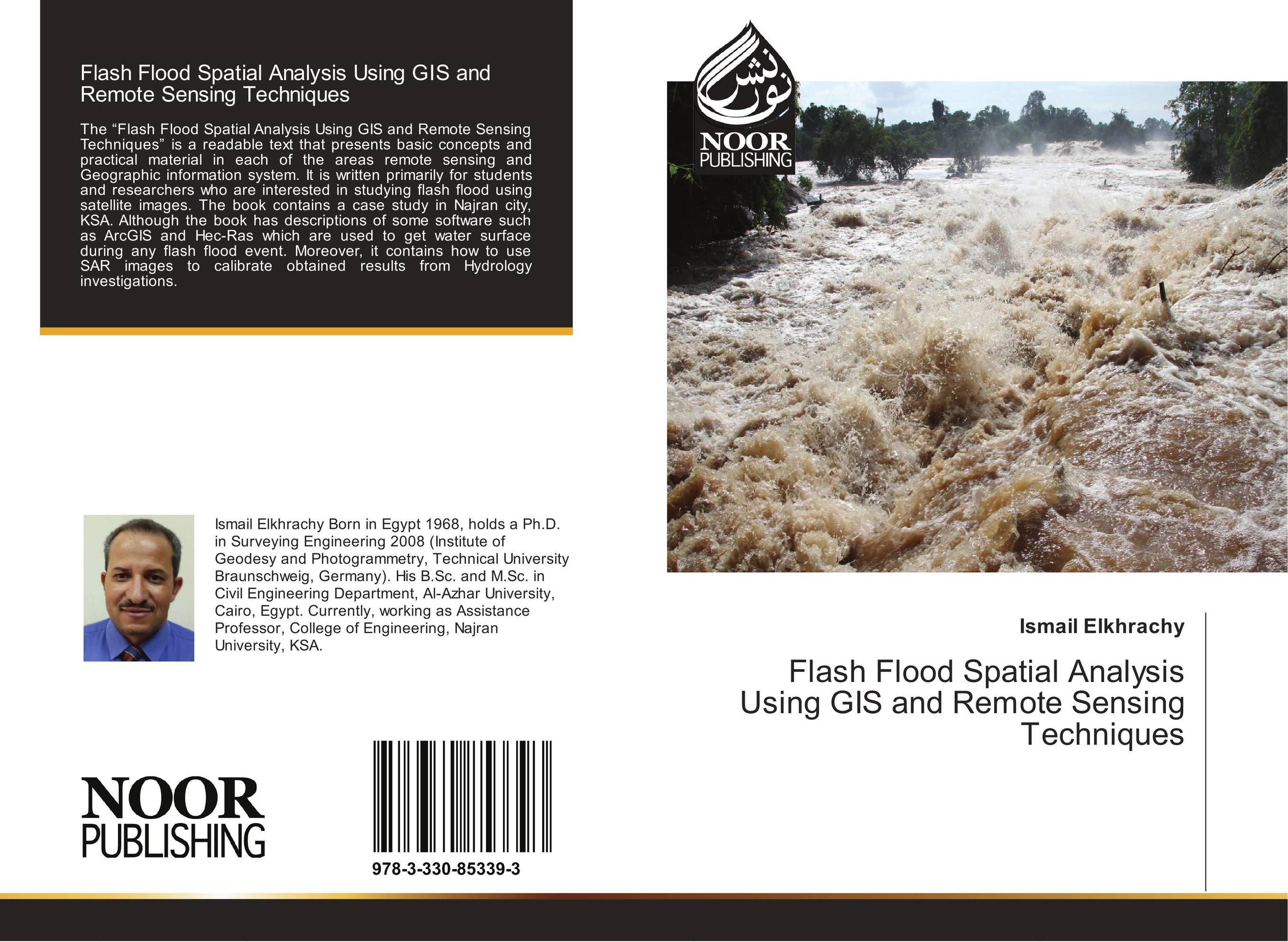 | Отрасли знаний: Науки о Земле Ismail Elkhrachy Flash Flood Spatial Analysis Using GIS and Remote Sensing Techniques. . 2017 г., 72 стр., мягкий переплет The “Flash Flood Spatial Analysis Using GIS and Remote Sensing Techniques” is a readable text that presents basic concepts and practical material in each of the areas remote sensing and Geographic information system. It is written primarily for students and researchers who are interested in studying flash flood using satellite images. The book... | 21699 тг |
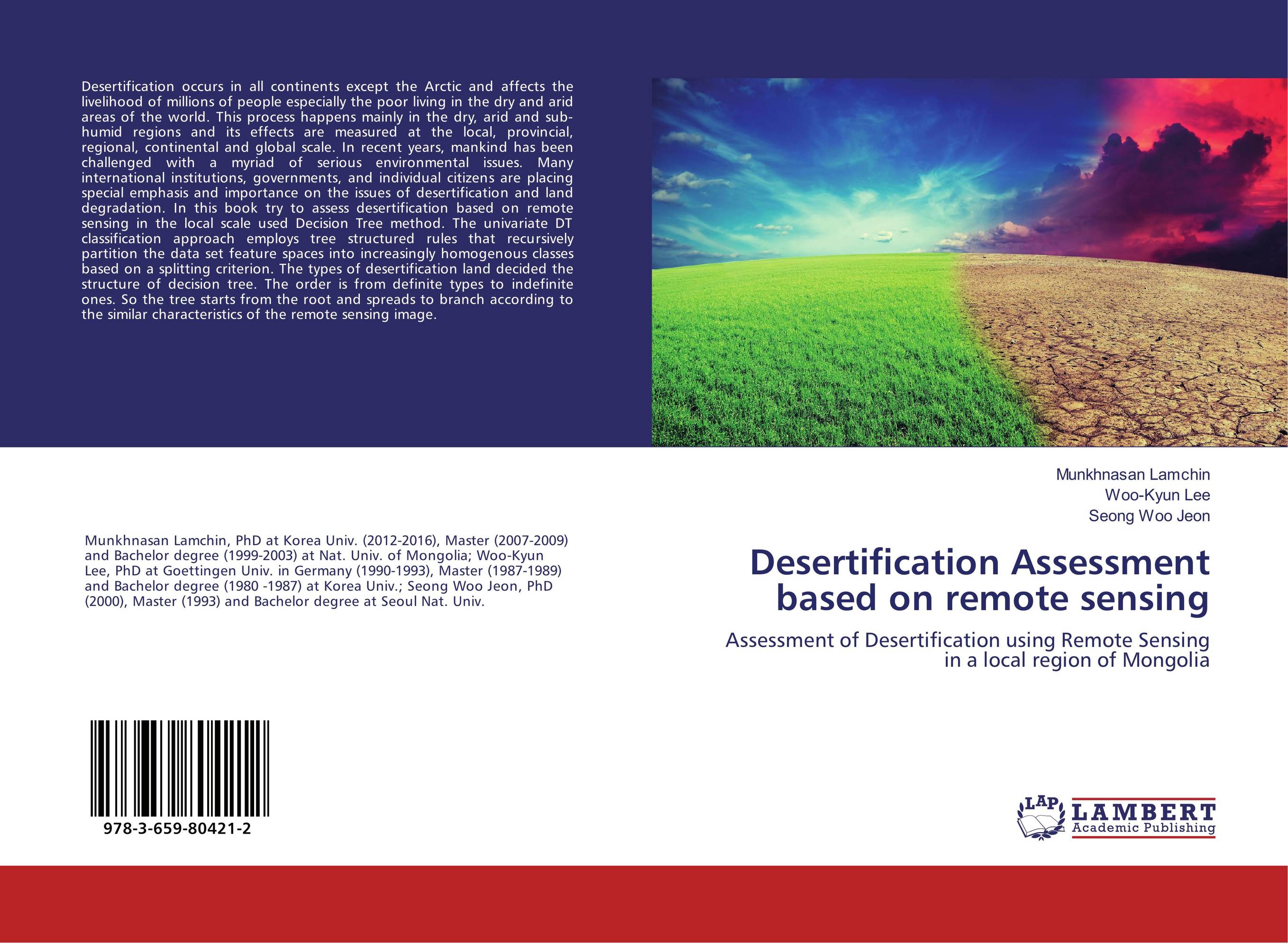 | Отрасли знаний: Науки о Земле Munkhnasan Lamchin,Woo-Kyun Lee and Seong Woo Jeon Desertification Assessment based on remote sensing. Assessment of Desertification using Remote Sensing in a local region of Mongolia. 2017 г., 60 стр., мягкий переплет Desertification occurs in all continents except the Arctic and affects the livelihood of millions of people especially the poor living in the dry and arid areas of the world. This process happens mainly in the dry, arid and sub-humid regions and its effects are measured at the local, provincial, regional, continental and global scale. In recent... | 14497 тг |
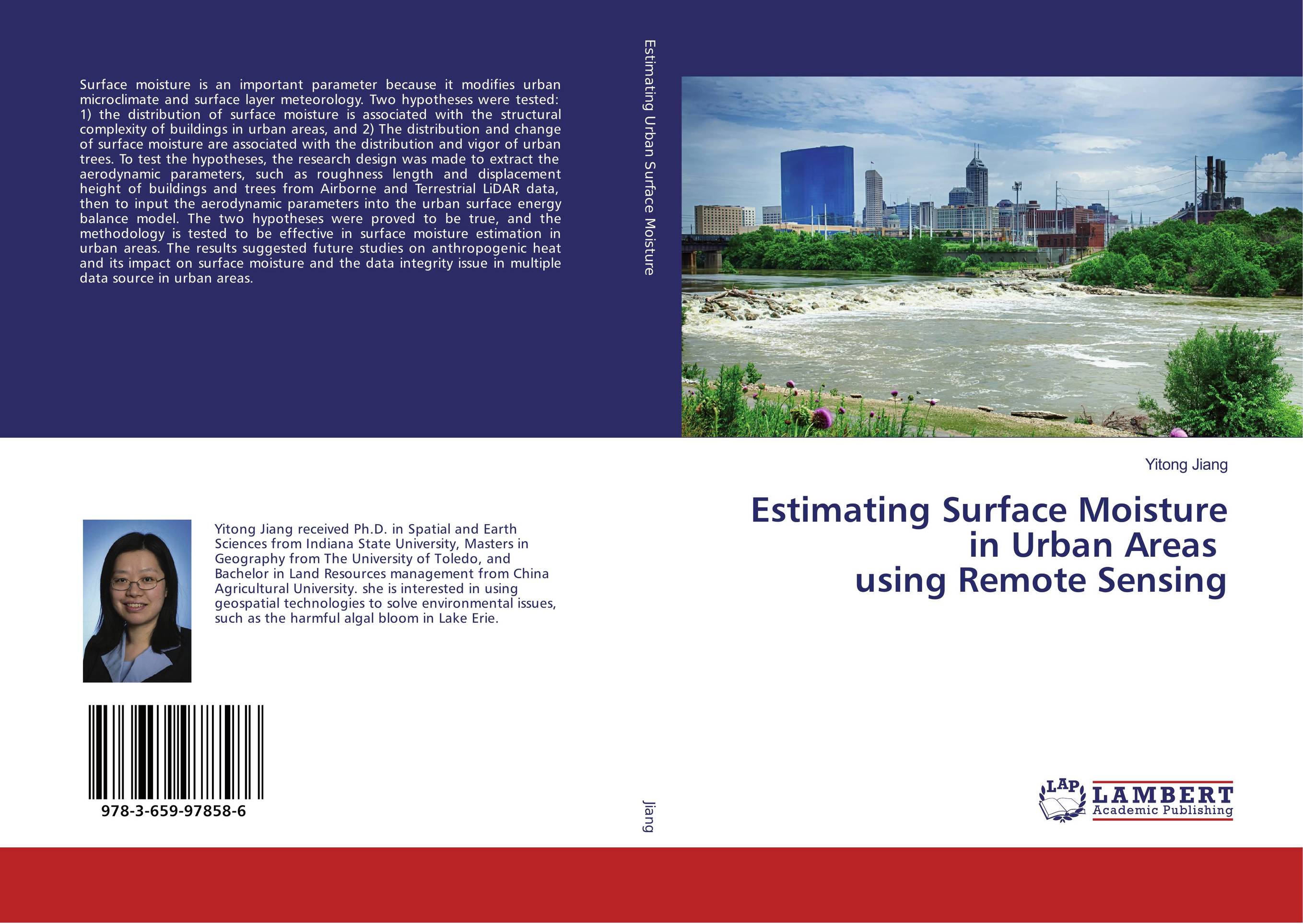 | Отрасли знаний: Науки о Земле Yitong Jiang Estimating Surface Moisture in Urban Areas using Remote Sensing. . 2016 г., 240 стр., мягкий переплет Surface moisture is an important parameter because it modifies urban microclimate and surface layer meteorology. Two hypotheses were tested: 1) the distribution of surface moisture is associated with the structural complexity of buildings in urban areas, and 2) The distribution and change of surface moisture are associated with the distribution... | 44122 тг |
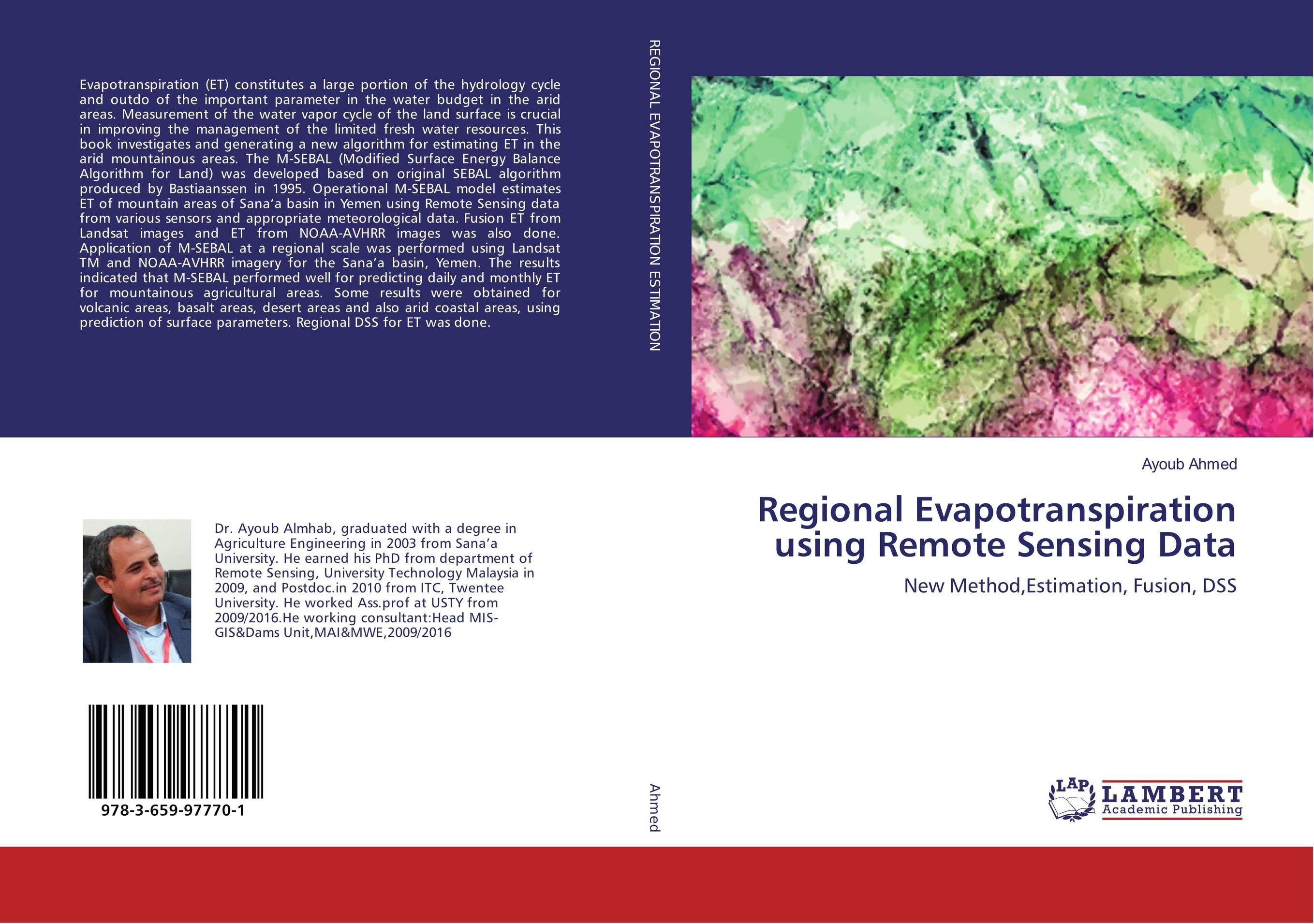 | Отрасли экономики: Машиностроение -> Автомобилестроение Ayoub Ahmed Regional Evapotranspiration using Remote Sensing Data. New Method,Estimation, Fusion, DSS. 2016 г., 284 стр., мягкий переплет Evapotranspiration (ET) constitutes a large portion of the hydrology cycle and outdo of the important parameter in the water budget in the arid areas. Measurement of the water vapor cycle of the land surface is crucial in improving the management of the limited fresh water resources. This book investigates and generating a new algorithm for... | 48105 тг |
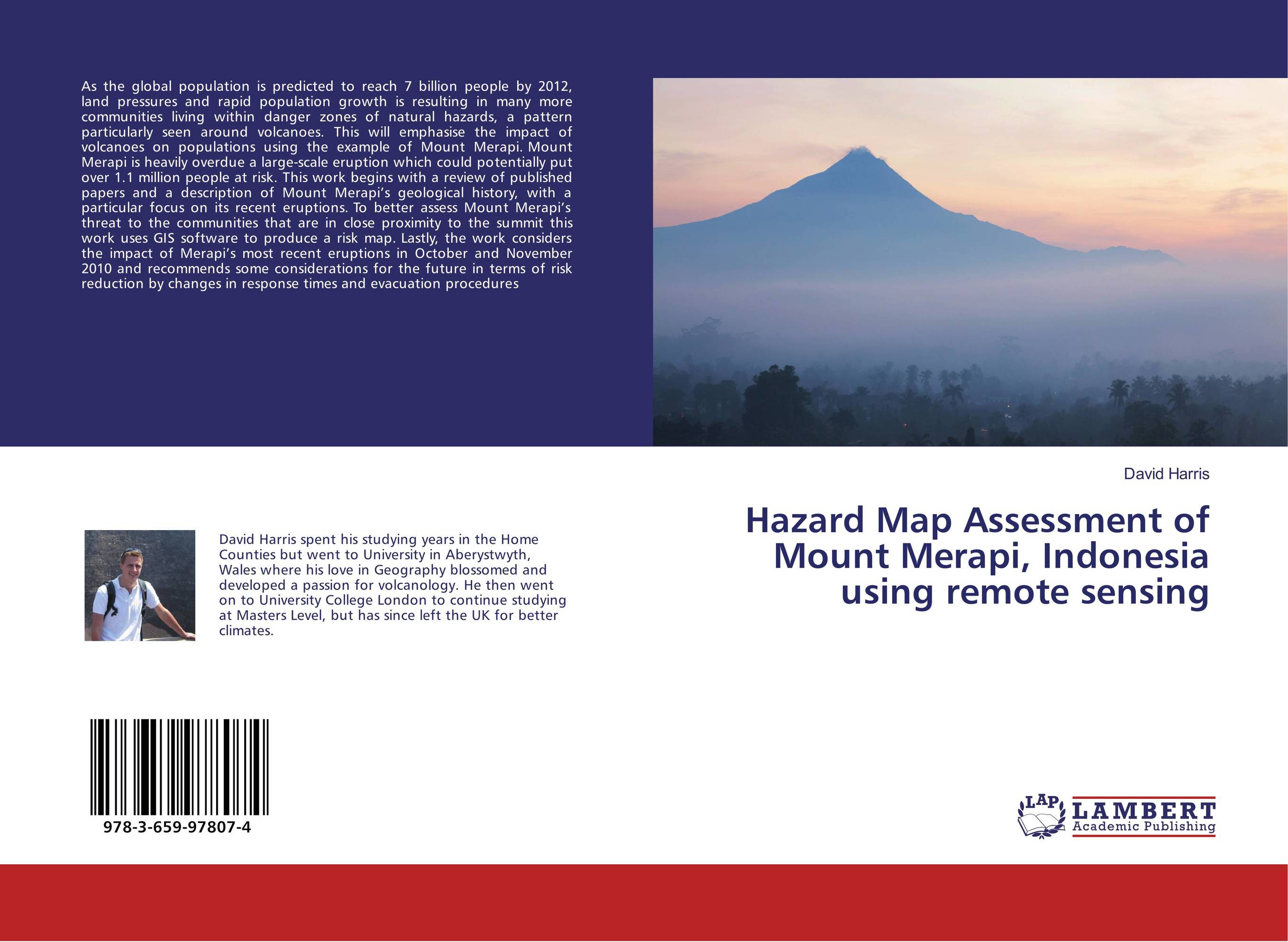 | Отрасли знаний: Науки о Земле David Harris Hazard Map Assessment of Mount Merapi, Indonesia using remote sensing. . 2016 г., 72 стр., мягкий переплет As the global population is predicted to reach 7 billion people by 2012, land pressures and rapid population growth is resulting in many more communities living within danger zones of natural hazards, a pattern particularly seen around volcanoes. This will emphasise the impact of volcanoes on populations using the example of Mount Merapi. Mount... | 21699 тг |
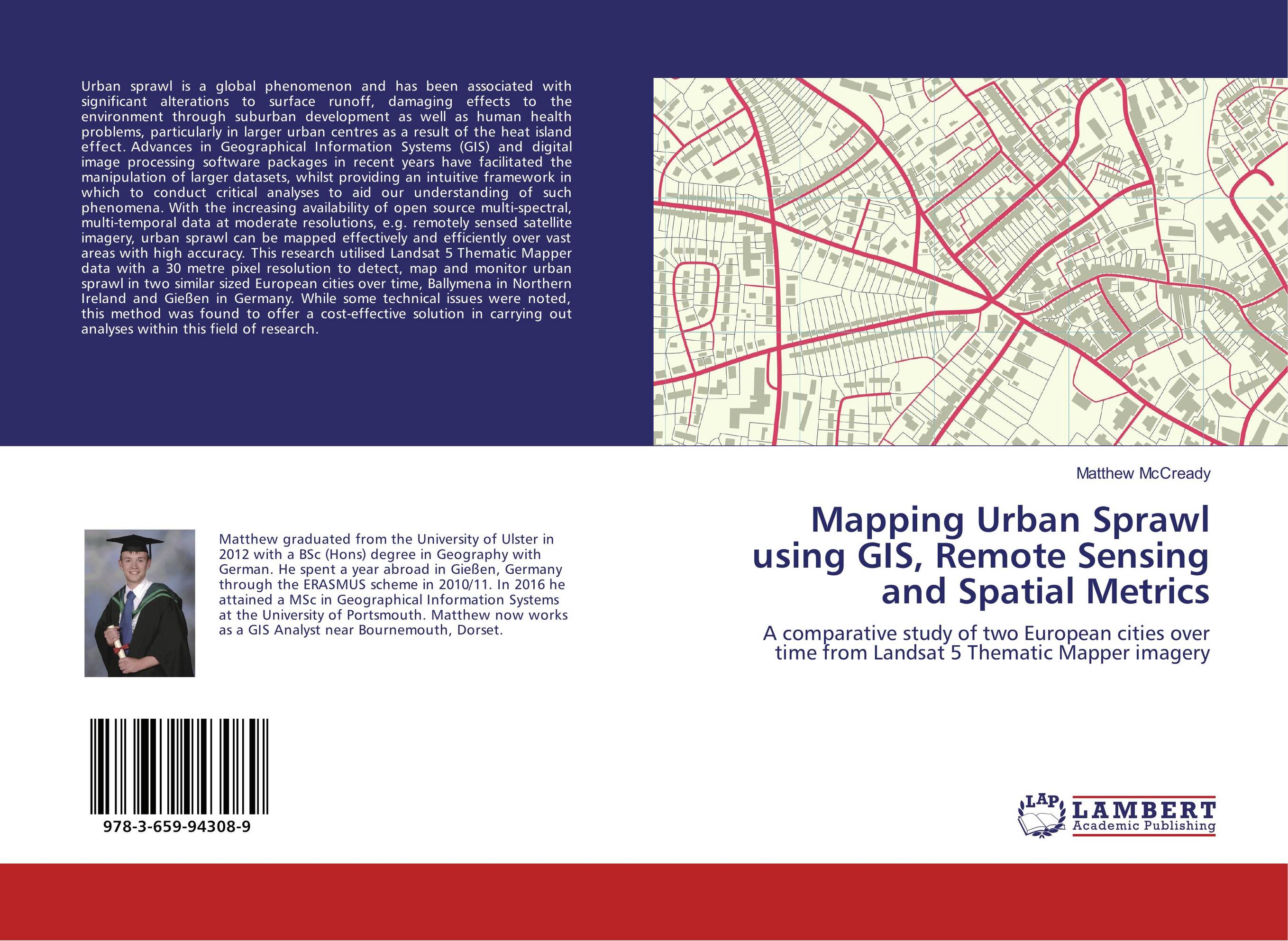 | Отрасли знаний: Науки о Земле -> География Matthew McCready Mapping Urban Sprawl using GIS, Remote Sensing and Spatial Metrics. A comparative study of two European cities over time from Landsat 5 Thematic Mapper imagery. 2016 г., 76 стр., мягкий переплет Urban sprawl is a global phenomenon and has been associated with significant alterations to surface runoff, damaging effects to the environment through suburban development as well as human health problems, particularly in larger urban centres as a result of the heat island effect. Advances in Geographical Information Systems (GIS) and digital... | 21841 тг |
 | Отрасли знаний: Науки о Земле Khaldoun Abualhin Assessment of the Gaza Coastal Zone Using Remote Sensing and GIS. . 2016 г., 192 стр., мягкий переплет The increasing of the population density and the dependence of the inhabitants at the coastal zone has caused to worsening of several coastal environments overall the world. Therefore, this book describes several Remote Sensing and Geoinformatics techniques for assessing and studying t coastal environments from space. Satellite data were utilized... | 39997 тг |
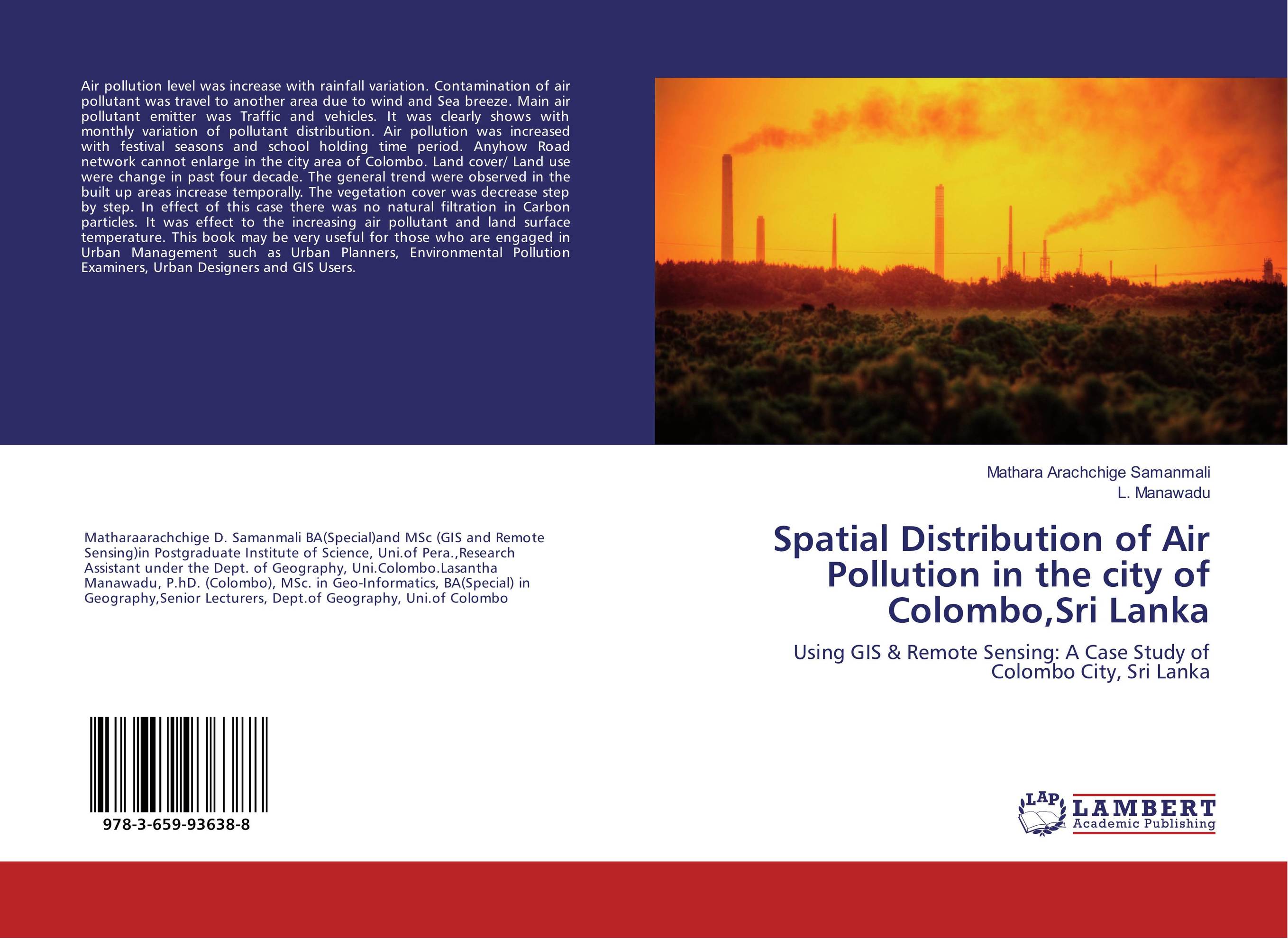 | Отрасли знаний: Науки о Земле -> География Mathara Arachchige Samanmali and L. Manawadu Spatial Distribution of Air Pollution in the city of Colombo,Sri Lanka. Using GIS & Remote Sensing: A Case Study of Colombo City, Sri Lanka. 2016 г., 88 стр., мягкий переплет Air pollution level was increase with rainfall variation. Contamination of air pollutant was travel to another area due to wind and Sea breeze. Main air pollutant emitter was Traffic and vehicles. It was clearly shows with monthly variation of pollutant distribution. Air pollution was increased with festival seasons and school holding time period.... | 29043 тг |
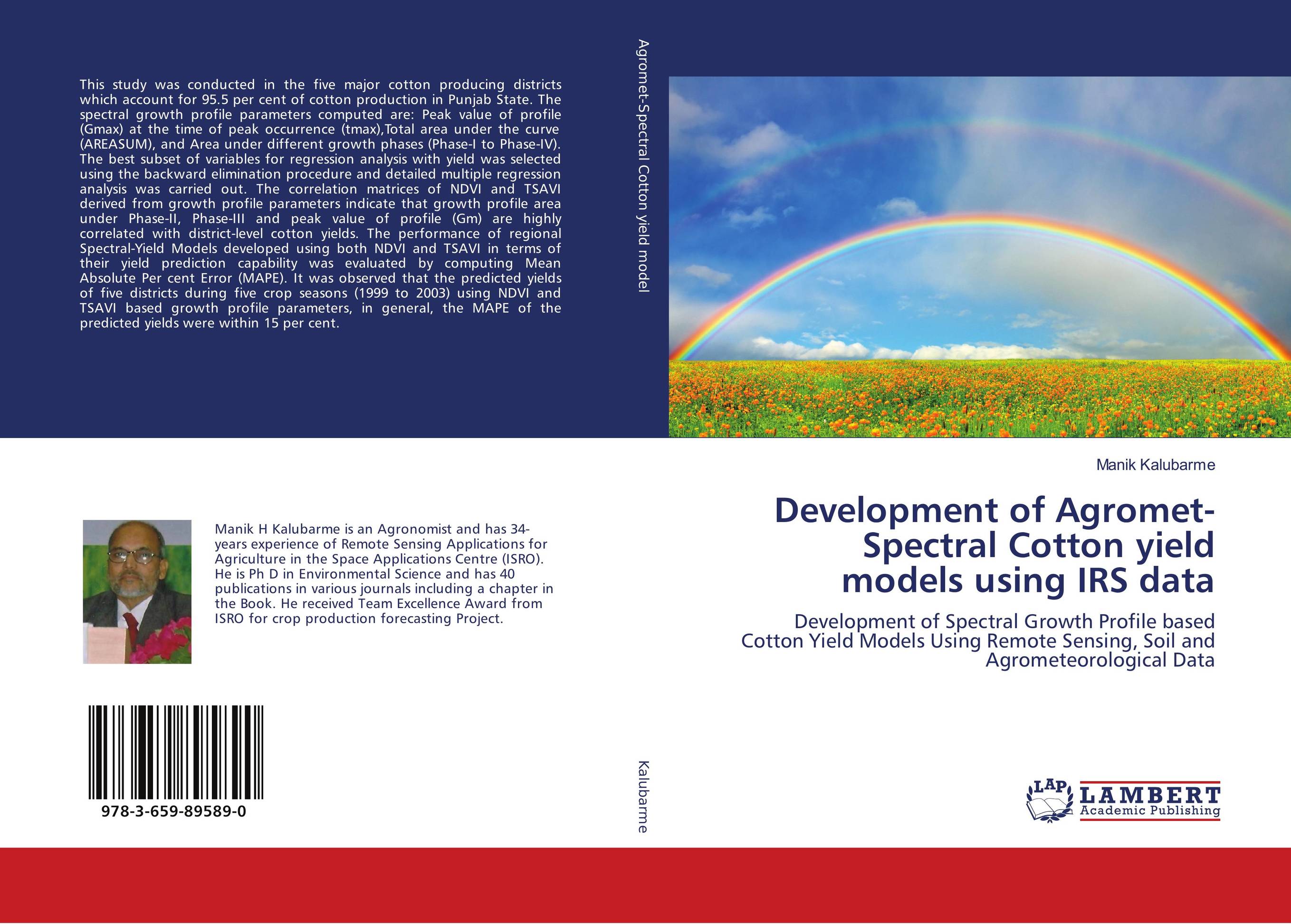 | Отрасли экономики: Агропромышленный комплекс -> Растениеводство -> Садоводство Manik Kalubarme Development of Agromet-Spectral Cotton yield models using IRS data. Development of Spectral Growth Profile based Cotton Yield Models Using Remote Sensing, Soil and Agrometeorological Data. 2016 г., 188 стр., мягкий переплет This study was conducted in the five major cotton producing districts which account for 95.5 per cent of cotton production in Punjab State. The spectral growth profile parameters computed are: Peak value of profile (Gmax) at the time of peak occurrence (tmax),Total area under the curve (AREASUM), and Area under different growth phases (Phase-I to... | 39855 тг |
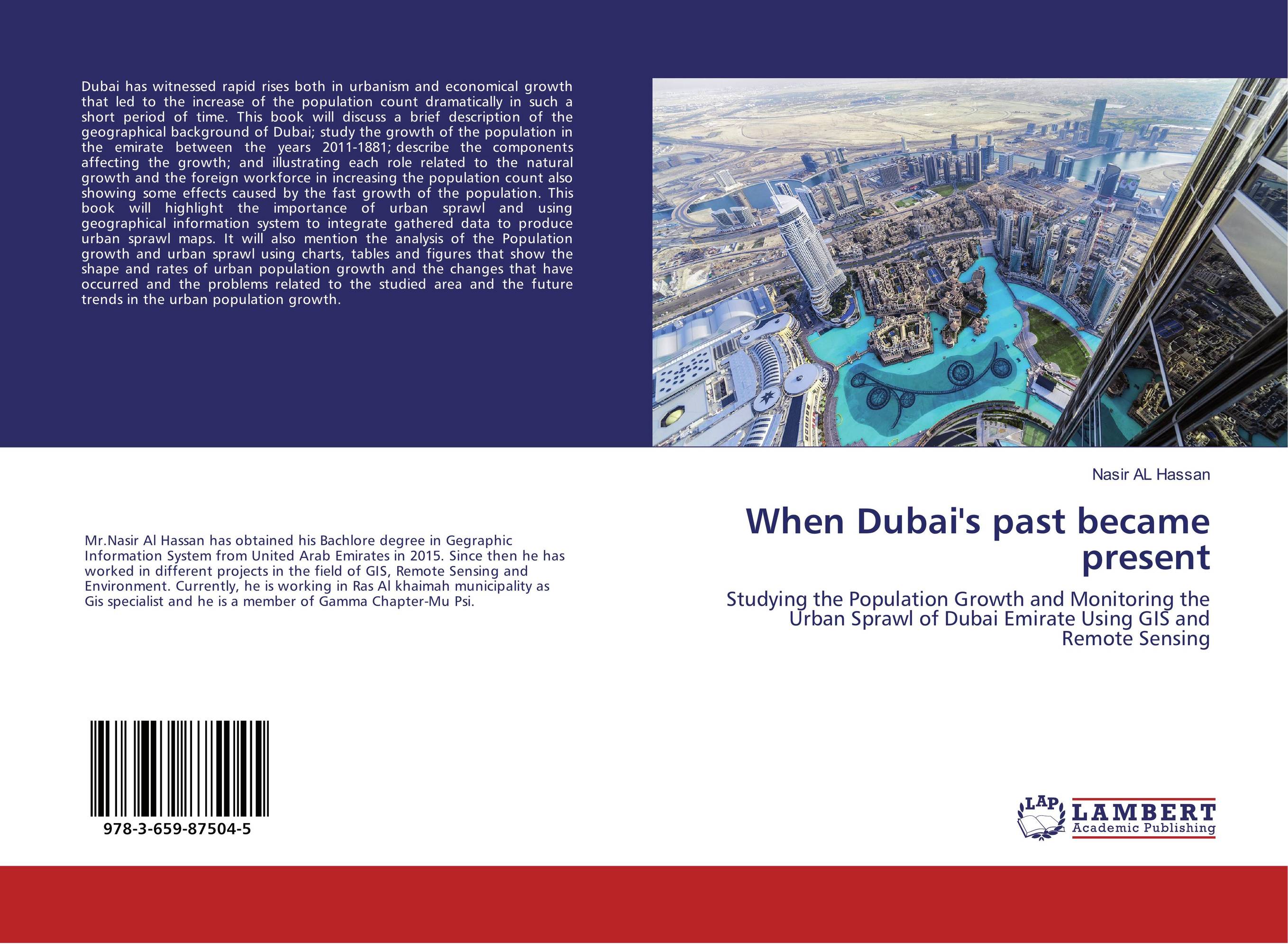 | Отрасли знаний: Науки о Земле -> География Nasir AL Hassan When Dubai's past became present. Studying the Population Growth and Monitoring the Urban Sprawl of Dubai Emirate Using GIS and Remote Sensing. 2016 г., 64 стр., мягкий переплет Dubai has witnessed rapid rises both in urbanism and economical growth that led to the increase of the population count dramatically in such a short period of time. This book will discuss a brief description of the geographical background of Dubai; study the growth of the population in the emirate between the years 2011-1881; describe the... | 23350 тг |
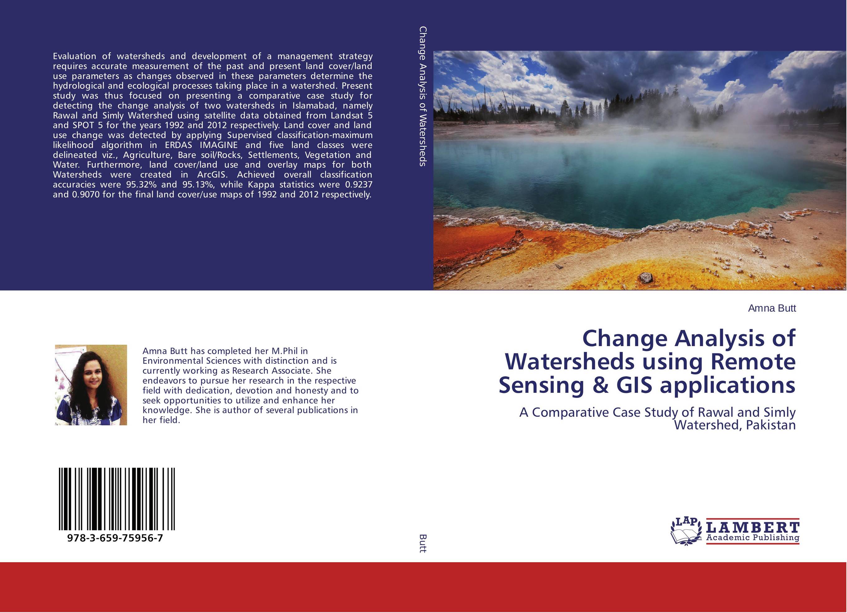 | Отрасли знаний: Естественные науки -> Экология Amna Butt Change Analysis of Watersheds using Remote Sensing & GIS applications. A Comparative Case Study of Rawal and Simly Watershed, Pakistan. 2015 г., 124 стр., мягкий переплет Evaluation of watersheds and development of a management strategy requires accurate measurement of the past and present land cover/land use parameters as changes observed in these parameters determine the hydrological and ecological processes taking place in a watershed. Present study was thus focused on presenting a comparative case study for... | 32741 тг |
 | Отрасли экономики: Агропромышленный комплекс -> Растениеводство -> Садоводство Lalitha Manickam Land Resource Management Using Remote Sensing and GIS. . 2015 г., 268 стр., мягкий переплет Agricultural resources are among the most important renewable, dynamic natural resources and soil is the base of agriculture and natural wealth. Even though technology breakthrough and dissemination in agriculture increased the agricultural production manifold, the lack of appropriate site specific technologies and then adoption, mismanagement and... | 51409 тг |
 | Отрасли знаний: Науки о Земле Joseph Ejikeme and Joel Igbokwe Revision and analysis of Topographic map using Remote Sensing and GIS. Up-to-date and accurate maps are basic tool for any meaningful planning and development of any nation. 2015 г., 116 стр., мягкий переплет Topographic map are needed for every developmental activities ranging from general engineering and construction works, economic and physical planning regulation, environmental management, general planning etc. Most of the topographic maps available in Nigeria are outdated and to be revised in order to achieve the desired needs. This book presents... | 32457 тг |
 | Отрасли знаний: Медицина Dulanka Kumarasiri and Manjula Ranagalage Spatial Distribution of Cancer Incidence in Sri Lanka. Using GIS and Remote Sensing Techniques. 2014 г., 128 стр., мягкий переплет The book contains an analysis of the cancer distribution of Sri Lanka by comparing the distribution of cancer cases against geographical risk factors implicated in the etiology of cancer. This book is an attempt to examine the possible causes of cancer and to determine whether the location where patients were living could have a direct influence... | 32883 тг |
 | Отрасли экономики: Агропромышленный комплекс -> Растениеводство -> Садоводство Jajati Keshari Jena and Prachi Parichita Characterization and classification of Salt affected soils. A case study Using Remote Sensing. 2014 г., 184 стр., мягкий переплет This Book contains a good collection of recent review of literature in the field of characteriztion and classification of salt affected soils. Besides this a case study of the salt affected soils of Chikkarasinakere Hobli, Maddur Taluk of Mandya District, Karnataka, India using Remote sensing Imagery has been mentioned in this Book.... | 43101 тг |
 | Отрасли экономики: Агропромышленный комплекс -> Растениеводство -> Садоводство Manik Kalubarme and Alka Sharma Wheat Production Forecast in Himachal Pradesh Using Remote Sensing Data. District-level Wheat Production Forecast using Indian Remote Sensing Satellite (IRS) data. 2014 г., 76 стр., мягкий переплет This report summarizes the results of six year (1996-97 to 2002-03) of Remote Sensing (RS) based district-level wheat acreage estimates and agromet model predicted wheat yields. District-level preharvest wheat production forecast in major wheat growing districts in Himachal Pradesh was attempted under crop acreage and production estimation (CAPE)... | 23777 тг |
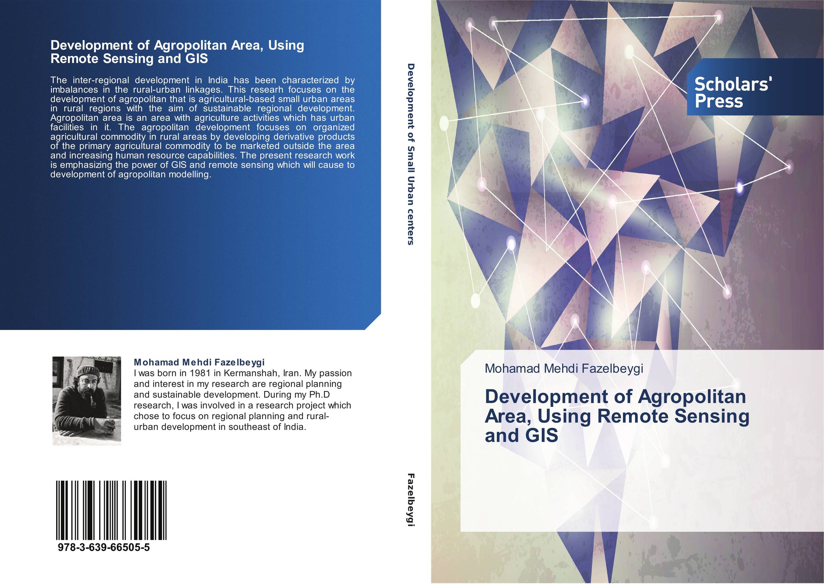 | Отрасли знаний: Науки о Земле Mohamad Mehdi Fazelbeygi Development of Agropolitan Area, Using Remote Sensing and GIS. . 2014 г., 240 стр., мягкий переплет The inter-regional development in India has been characterized by imbalances in the rural-urban linkages. This researh focuses on the development of agropolitan that is agricultural-based small urban areas in rural regions with the aim of sustainable regional development. Agropolitan area is an area with agriculture activities which has urban... | 53802 тг |
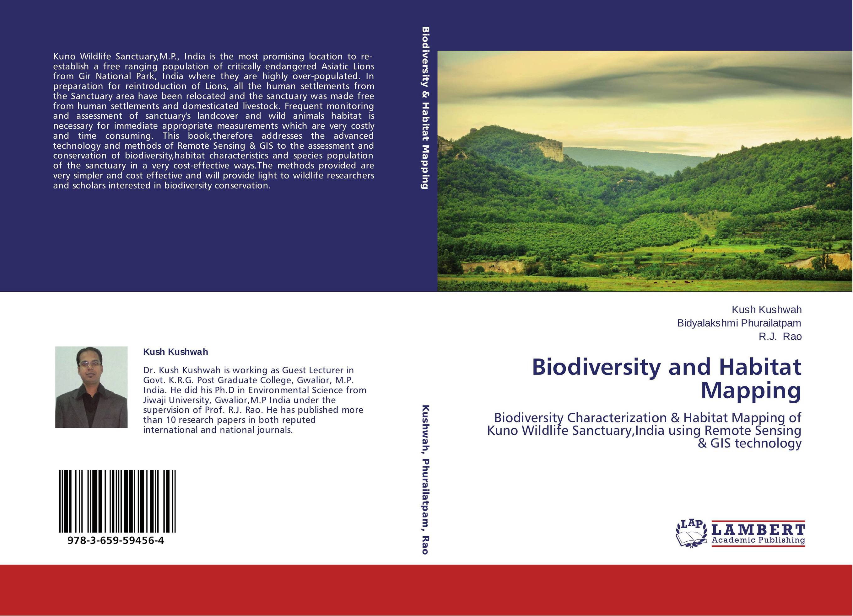 | Отрасли знаний: Естественные науки -> Биология Kush Kushwah,Bidyalakshmi Phurailatpam and R.J. Rao Biodiversity and Habitat Mapping. Biodiversity Characterization & Habitat Mapping of Kuno Wildlife Sanctuary,India using Remote Sensing & GIS technology. 2014 г., 136 стр., мягкий переплет Kuno Wildlife Sanctuary,M.P., India is the most promising location to re-establish a free ranging population of critically endangered Asiatic Lions from Gir National Park, India where they are highly over-populated. In preparation for reintroduction of Lions, all the human settlements from the Sanctuary area have been relocated and the sanctuary... | 36556 тг |
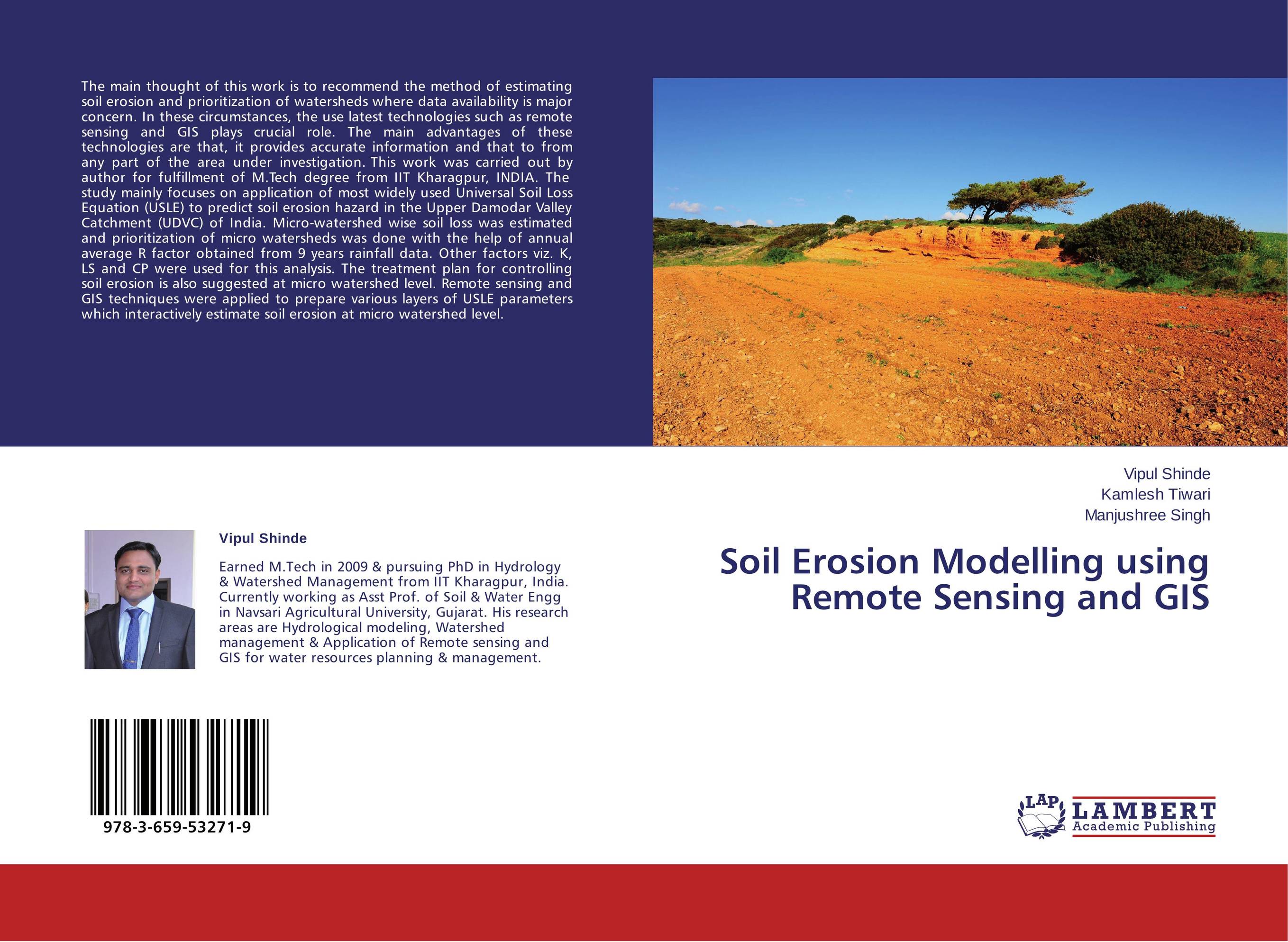 | Отрасли экономики: Агропромышленный комплекс -> Растениеводство -> Садоводство Vipul Shinde,Kamlesh Tiwari and Manjushree Singh Soil Erosion Modelling using Remote Sensing and GIS. . 2014 г., 72 стр., мягкий переплет The main thought of this work is to recommend the method of estimating soil erosion and prioritization of watersheds where data availability is major concern. In these circumstances, the use latest technologies such as remote sensing and GIS plays crucial role. The main advantages of these technologies are that, it provides accurate information... | 23635 тг |
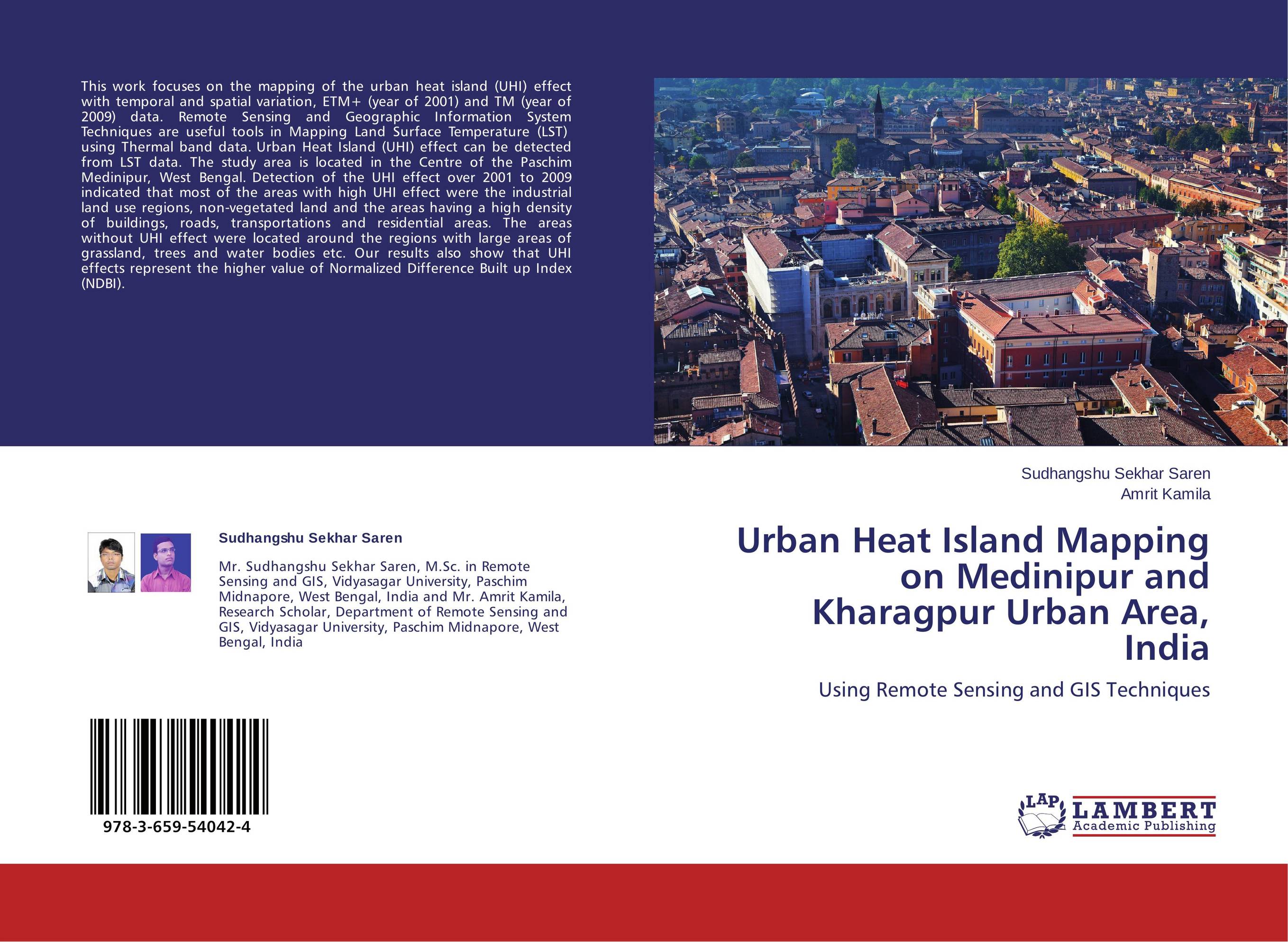 | Отрасли знаний: Науки о Земле -> География Sudhangshu Sekhar Saren and Amrit Kamila Urban Heat Island Mapping on Medinipur and Kharagpur Urban Area, India. Using Remote Sensing and GIS Techniques. 2014 г., 80 стр., мягкий переплет This work focuses on the mapping of the urban heat island (UHI) effect with temporal and spatial variation, ETM+ (year of 2001) and TM (year of 2009) data. Remote Sensing and Geographic Information System Techniques are useful tools in Mapping Land Surface Temperature (LST) using Thermal band data. Urban Heat Island (UHI) effect can be detected... | 21983 тг |
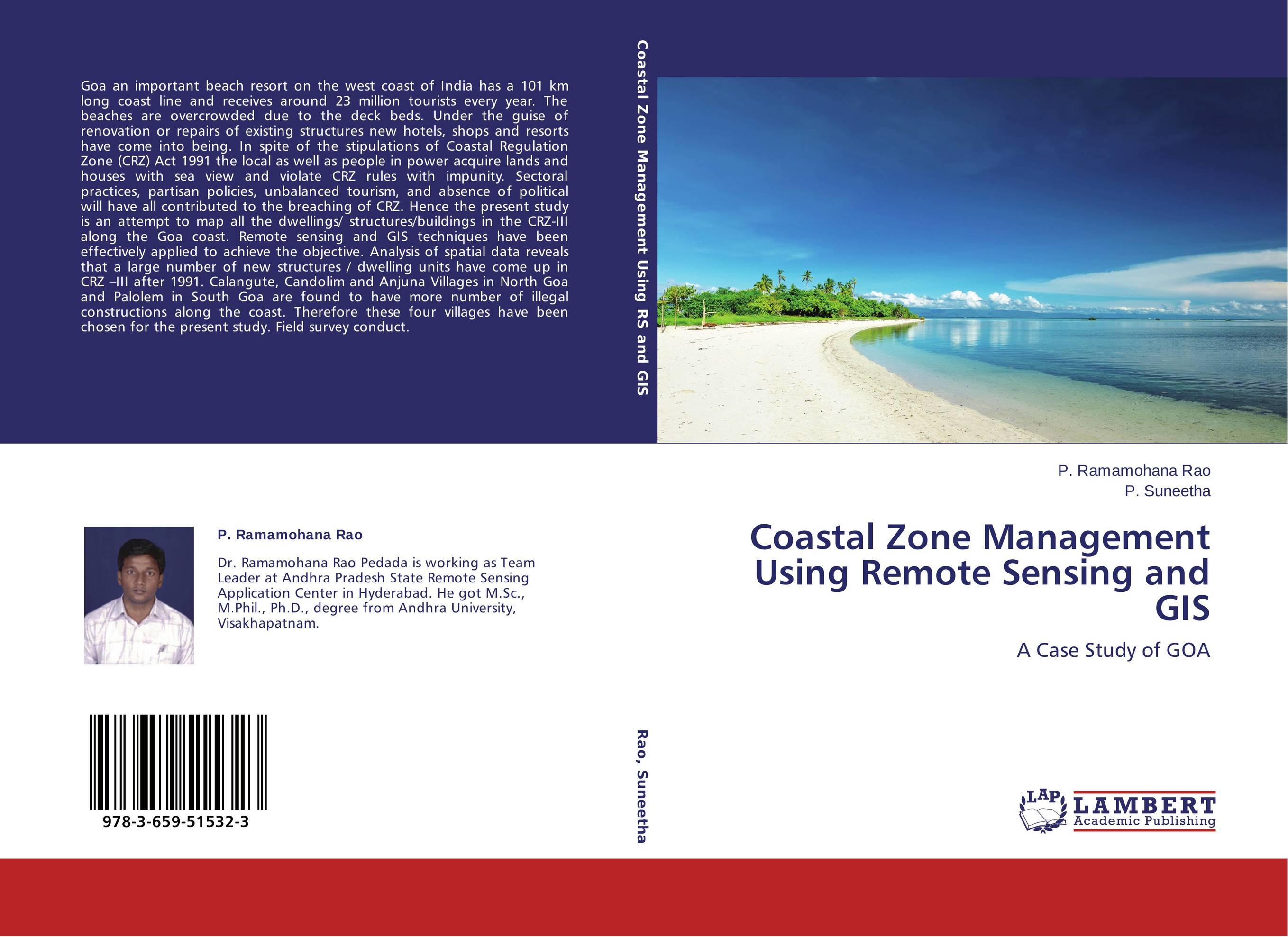 | Отрасли знаний: Науки о Земле P. Ramamohana Rao and P. Suneetha Coastal Zone Management Using Remote Sensing and GIS. A Case Study of GOA. 2014 г., 104 стр., мягкий переплет Goa an important beach resort on the west coast of India has a 101 km long coast line and receives around 23 million tourists every year. The beaches are overcrowded due to the deck beds. Under the guise of renovation or repairs of existing structures new hotels, shops and resorts have come into being. In spite of the stipulations of Coastal... | 32031 тг |
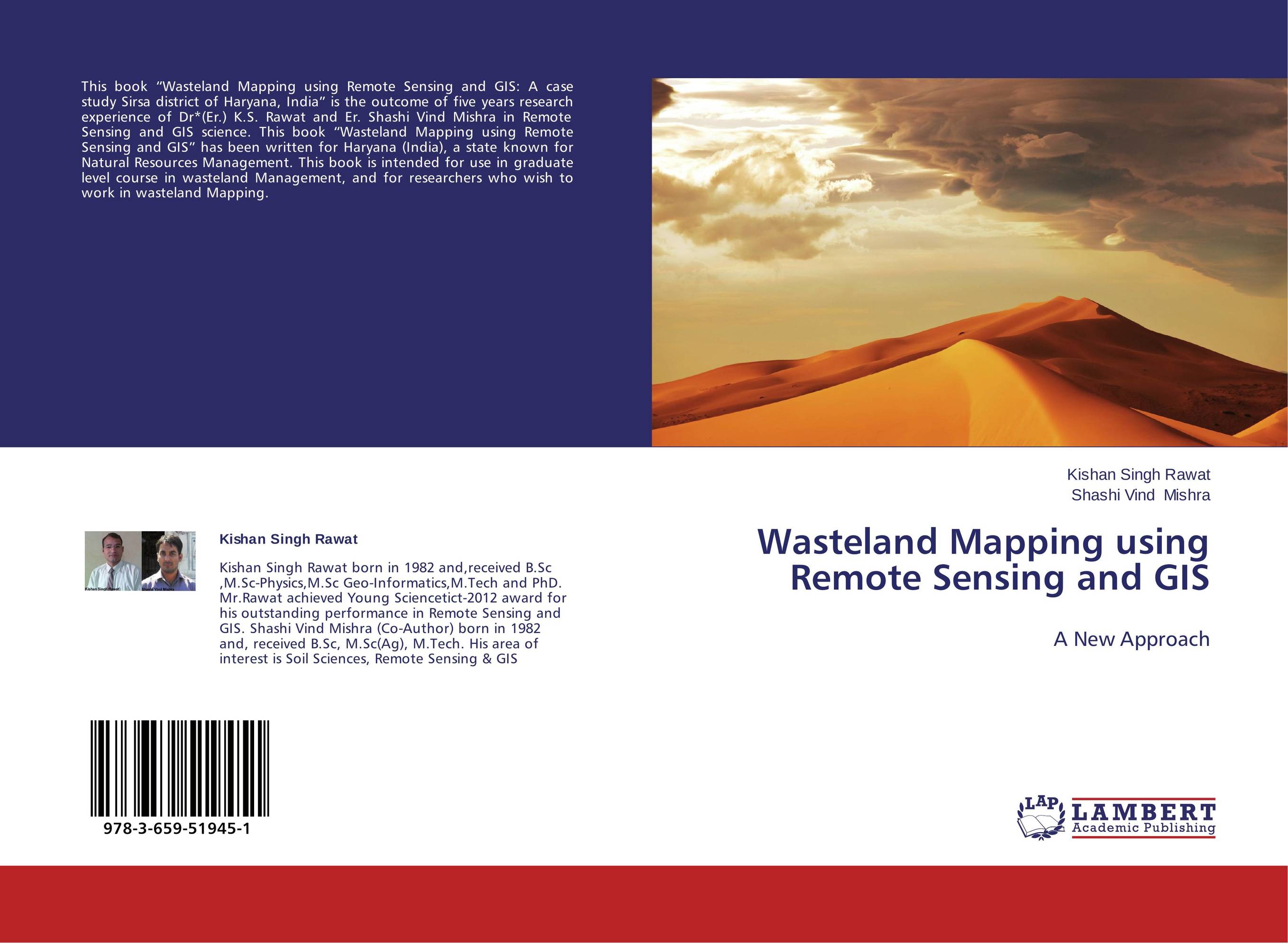 | Отрасли знаний: Науки о Земле Kishan Singh Rawat and Shashi Vind Mishra Wasteland Mapping using Remote Sensing and GIS. A New Approach. 2014 г., 60 стр., мягкий переплет This book “Wasteland Mapping using Remote Sensing and GIS: A case study Sirsa district of Haryana, India” is the outcome of five years research experience of Dr*(Er.) K.S. Rawat and Er. Shashi Vind Mishra in Remote Sensing and GIS science. This book “Wasteland Mapping using Remote Sensing and GIS” has been written for Haryana (India), a... | 23208 тг |
 | Отрасли знаний: Науки о Земле -> География Gashaw Alelign Irrigation Potential Analysis Using GIS and Remote Sensing. Irrigation potential suitability analysis & water management. 2013 г., 112 стр., мягкий переплет In today’s world, as we see the rapid population growth, irrigation agriculture becomes more important to meet the human needs. It allows double cropping and enables stabilization of supply and production of vegetables and fruits. Land and water resource suitability analysis plays an important role in maintaining and developing land and water... | 32315 тг |
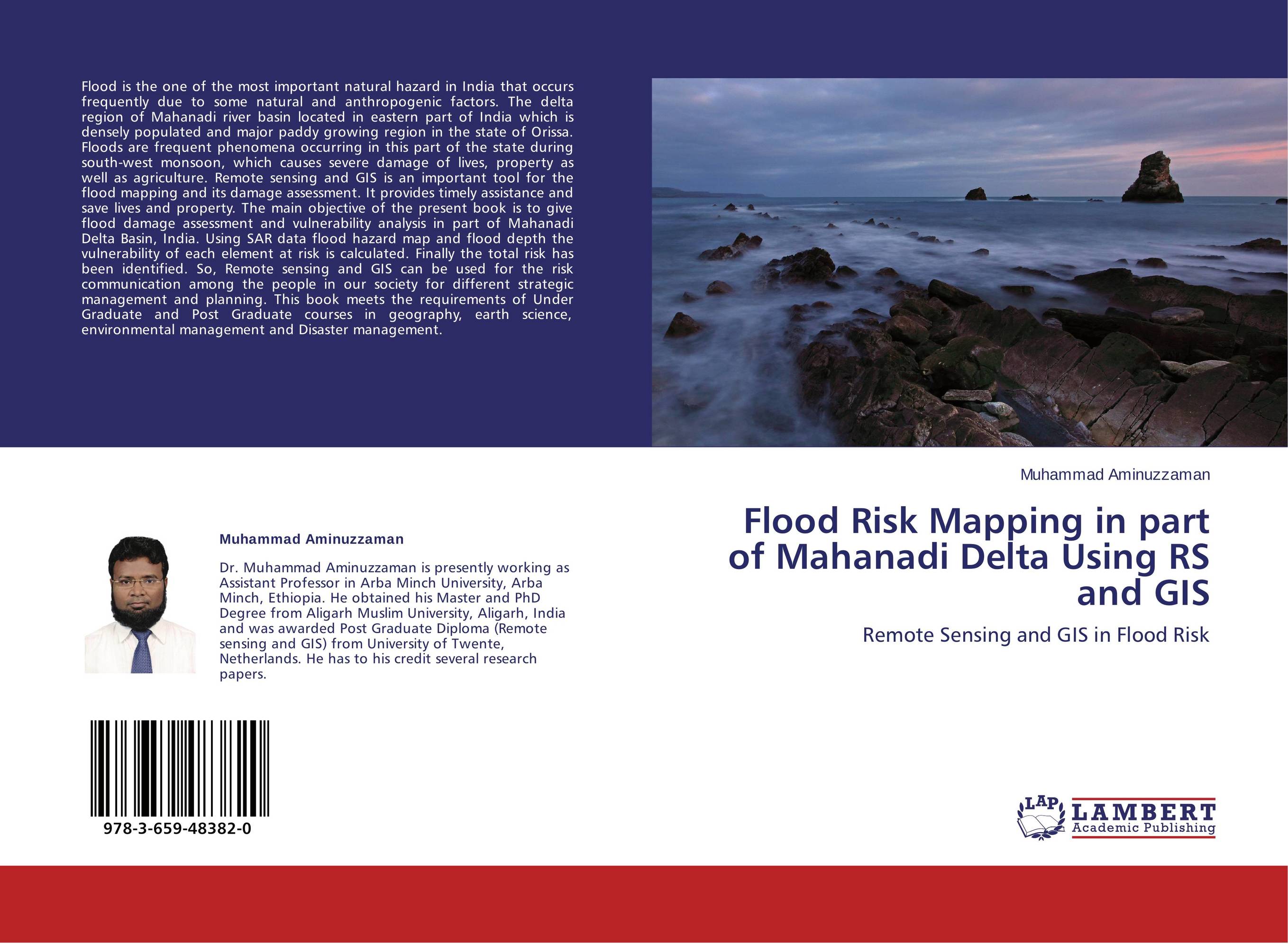 | Отрасли знаний: Науки о Земле -> География Muhammad Aminuzzaman Flood Risk Mapping in part of Mahanadi Delta Using RS and GIS. Remote Sensing and GIS in Flood Risk. 2013 г., 60 стр., мягкий переплет Flood is the one of the most important natural hazard in India that occurs frequently due to some natural and anthropogenic factors. The delta region of Mahanadi river basin located in eastern part of India which is densely populated and major paddy growing region in the state of Orissa. Floods are frequent phenomena occurring in this part of the... | 23208 тг |
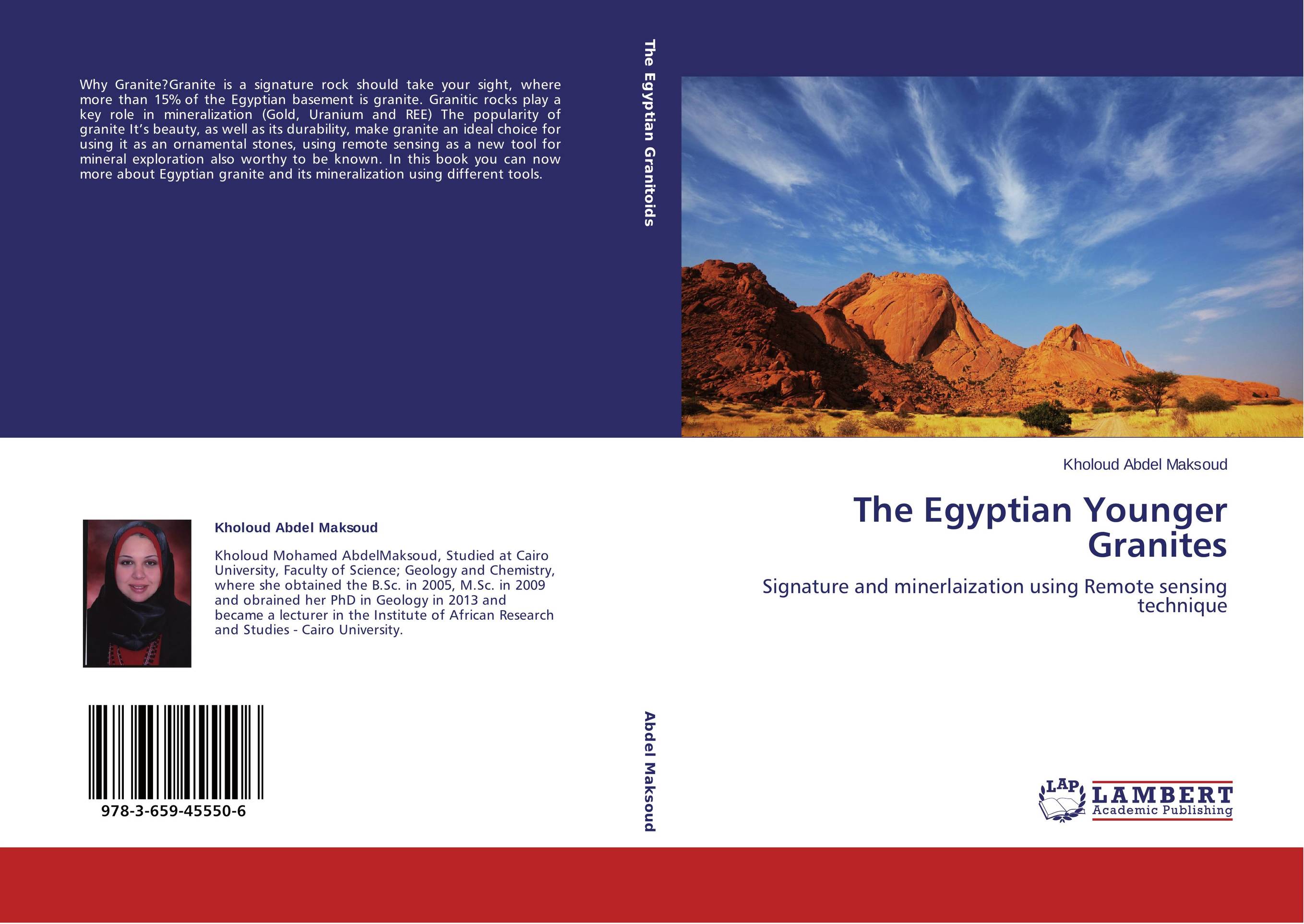 | Отрасли знаний: Науки о Земле -> Геология и геофизика Kholoud Abdel Maksoud The Egyptian Younger Granites. Signature and minerlaization using Remote sensing technique. 2013 г., 244 стр., мягкий переплет Why Granite?Granite is a signature rock should take your sight, where more than 15% of the Egyptian basement is granite. Granitic rocks play a key role in mineralization (Gold, Uranium and REE) The popularity of granite It’s beauty, as well as its durability, make granite an ideal choice for using it as an ornamental stones, using remote... | 47652 тг |
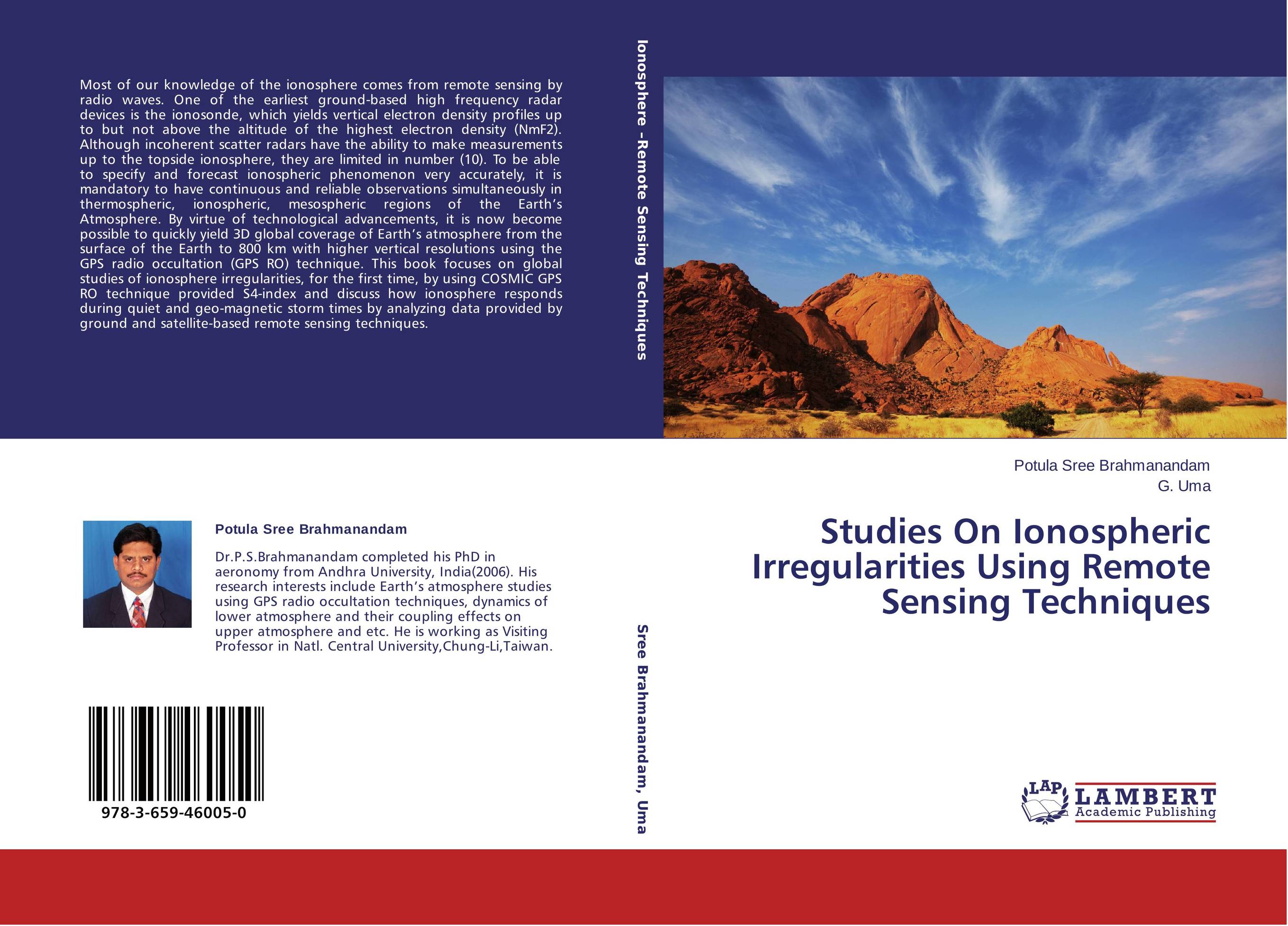 | Отрасли знаний: Естественные науки -> Физика Potula Sree Brahmanandam and G. Uma Studies On Ionospheric Irregularities Using Remote Sensing Techniques. . 2013 г., 164 стр., мягкий переплет Most of our knowledge of the ionosphere comes from remote sensing by radio waves. One of the earliest ground-based high frequency radar devices is the ionosonde, which yields vertical electron density profiles up to but not above the altitude of the highest electron density (NmF2). Although incoherent scatter radars have the ability to make... | 42391 тг |
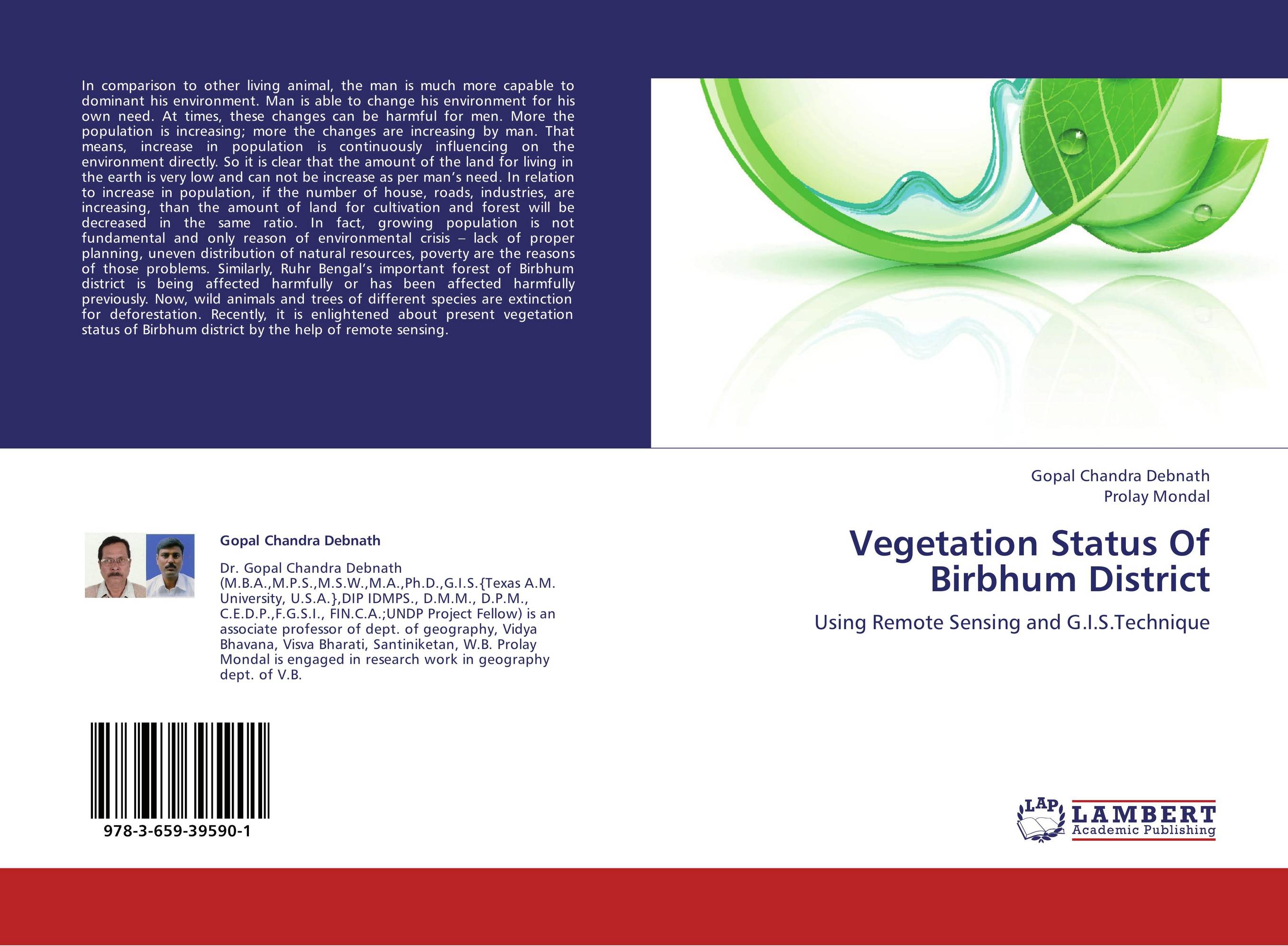 | Отрасли знаний: Науки о Земле -> География Gopal Chandra Debnath and Prolay Mondal Vegetation Status Of Birbhum District. Using Remote Sensing and G.I.S.Technique. 2013 г., 52 стр., мягкий переплет In comparison to other living animal, the man is much more capable to dominant his environment. Man is able to change his environment for his own need. At times, these changes can be harmful for men. More the population is increasing; more the changes are increasing by man. That means, increase in population is continuously influencing on the... | 20988 тг |
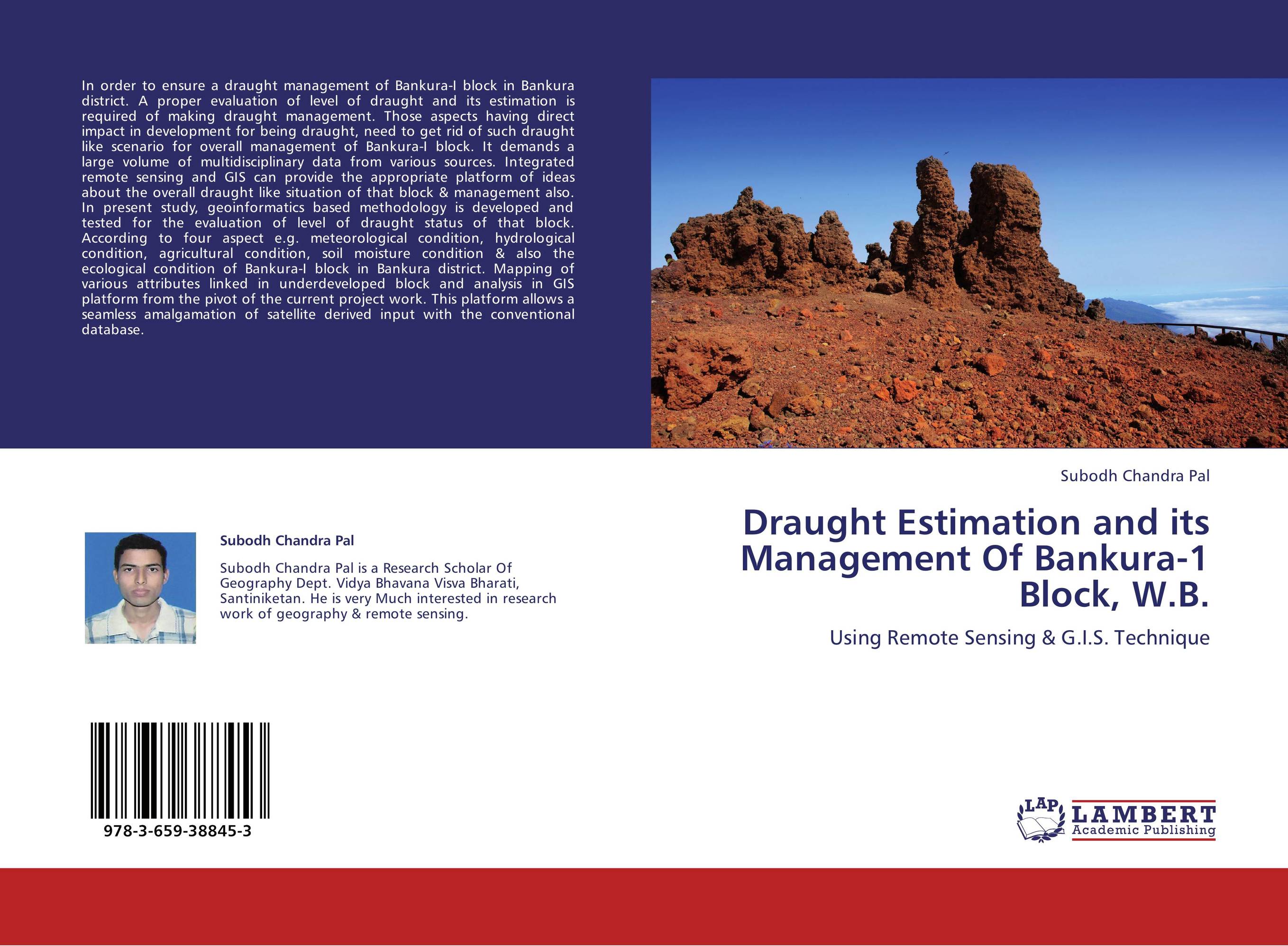 | Отрасли знаний: Науки о Земле -> География Subodh Chandra Pal Draught Estimation and its Management Of Bankura-1 Block, W.B.. Using Remote Sensing & G.I.S. Technique. 2013 г., 52 стр., мягкий переплет In order to ensure a draught management of Bankura-I block in Bankura district. A proper evaluation of level of draught and its estimation is required of making draught management. Those aspects having direct impact in development for being draught, need to get rid of such draught like scenario for overall management of Bankura-I block. It... | 20988 тг |
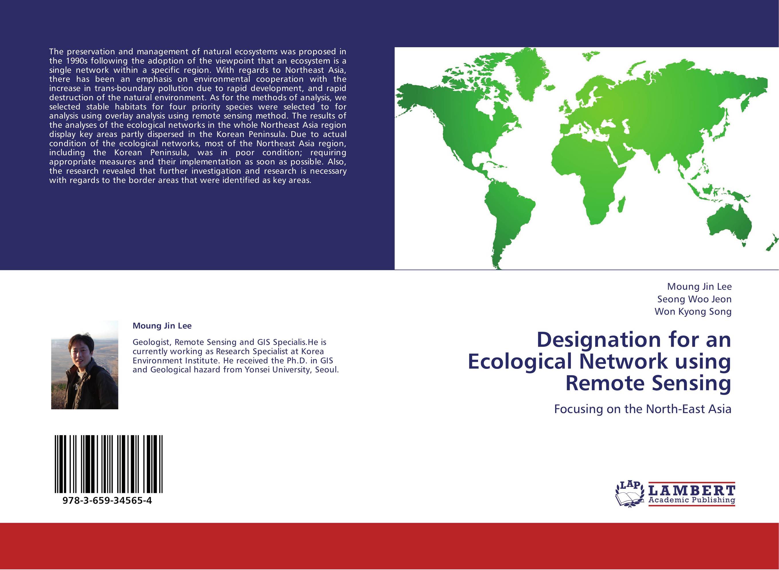 | Отрасли знаний: Естественные науки -> Экология Moung Jin Lee,Seong Woo Jeon and Won Kyong Song Designation for an Ecological Network using Remote Sensing. Focusing on the North-East Asia. 2013 г., 64 стр., мягкий переплет The preservation and management of natural ecosystems was proposed in the 1990s following the adoption of the viewpoint that an ecosystem is a single network within a specific region. With regards to Northeast Asia, there has been an emphasis on environmental cooperation with the increase in trans-boundary pollution due to rapid development, and... | 27755 тг |